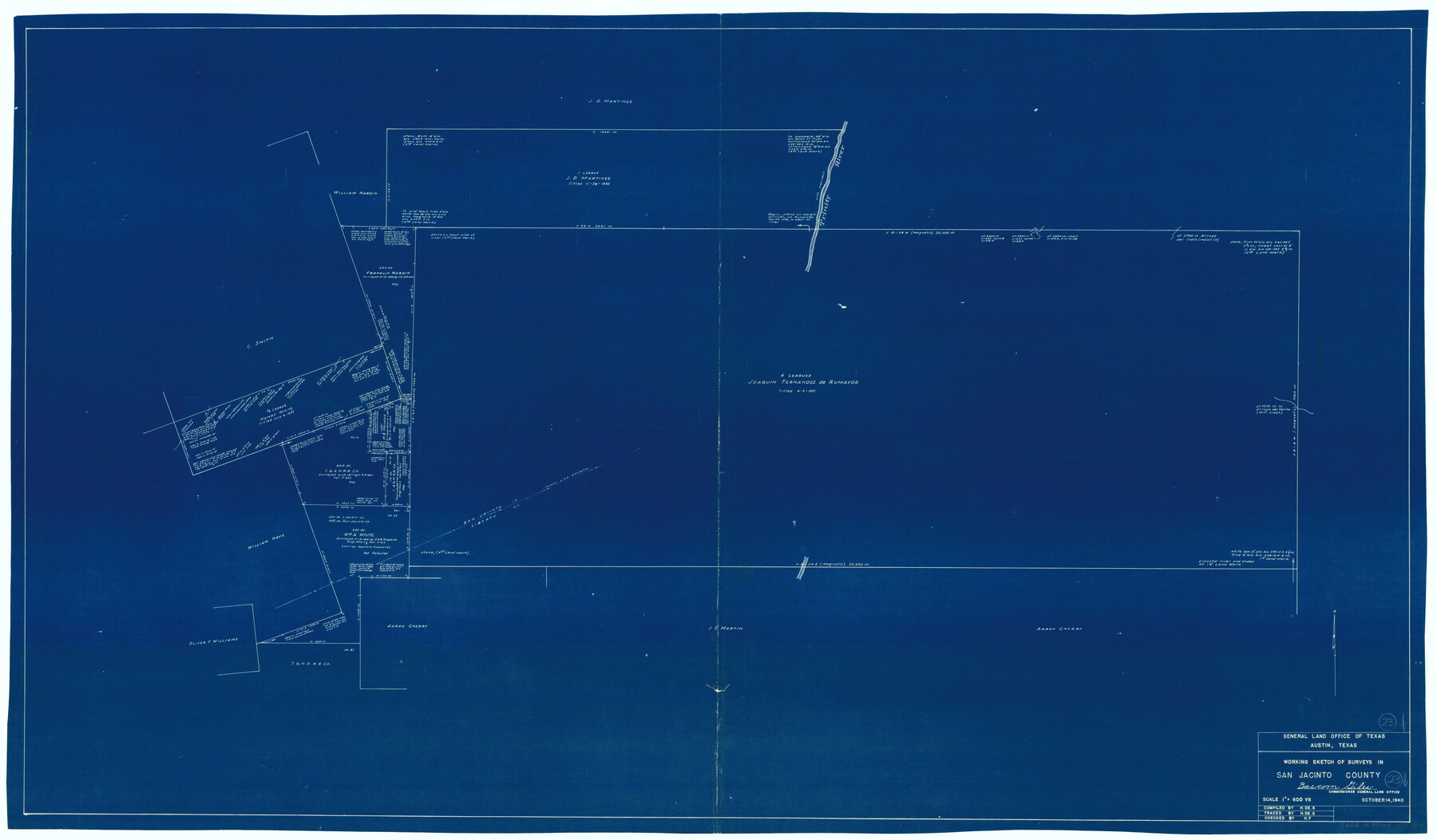
San Jacinto County Working Sketch 23
-
Map/Doc
63736
-
Collection
General Map Collection
-
Object Dates
10/14/1940 (Creation Date)
-
People and Organizations
Herbert de Synek (Draftsman)
-
Counties
San Jacinto
-
Subjects
Surveying Working Sketch
-
Height x Width
31.5 x 53.8 inches
80.0 x 136.7 cm
-
Scale
1" = 600 varas
Part of: General Map Collection
Map of Port Bolivar

Print $20.00
- Digital $50.00
Map of Port Bolivar
1893
Size 24.9 x 18.5 inches
Map/Doc 2191
Wood County Sketch File 9

Print $4.00
- Digital $50.00
Wood County Sketch File 9
1852
Size 7.4 x 8.9 inches
Map/Doc 40656
Culberson County Working Sketch 5

Print $20.00
- Digital $50.00
Culberson County Working Sketch 5
1906
Size 22.2 x 17.2 inches
Map/Doc 68457
Kimble County

Print $40.00
- Digital $50.00
Kimble County
1890
Size 39.2 x 57.5 inches
Map/Doc 78435
Anderson County Sketch File 9

Print $8.00
- Digital $50.00
Anderson County Sketch File 9
Size 12.5 x 8.2 inches
Map/Doc 12761
Bandera County Sketch File 36

Print $6.00
- Digital $50.00
Bandera County Sketch File 36
Size 11.4 x 8.9 inches
Map/Doc 14034
Nacogdoches County Sketch File 5

Print $4.00
- Digital $50.00
Nacogdoches County Sketch File 5
1859
Size 12.6 x 8.1 inches
Map/Doc 32243
Chambers County Boundary File 3

Print $112.00
- Digital $50.00
Chambers County Boundary File 3
Size 52.5 x 3.9 inches
Map/Doc 51249
Hardeman County Working Sketch 12

Print $40.00
- Digital $50.00
Hardeman County Working Sketch 12
1963
Size 31.2 x 54.3 inches
Map/Doc 63393
Reagan County

Print $40.00
- Digital $50.00
Reagan County
1915
Size 51.6 x 38.6 inches
Map/Doc 73340
Pecos County Rolled Sketch JAS

Print $20.00
- Digital $50.00
Pecos County Rolled Sketch JAS
1937
Size 34.9 x 31.4 inches
Map/Doc 9744
Lampasas County Rolled Sketch 4

Print $20.00
- Digital $50.00
Lampasas County Rolled Sketch 4
2001
Size 27.1 x 38.5 inches
Map/Doc 6566
You may also like
Fayette County Sketch File 1

Print $4.00
- Digital $50.00
Fayette County Sketch File 1
Size 8.4 x 7.2 inches
Map/Doc 22497
Hutchinson County Sketch File 22

Print $4.00
- Digital $50.00
Hutchinson County Sketch File 22
1906
Size 13.0 x 8.5 inches
Map/Doc 27243

Flight Mission No. DIX-6P, Frame 123, Aransas County

Print $20.00
- Digital $50.00
Flight Mission No. DIX-6P, Frame 123, Aransas County
1956
Size 19.1 x 22.7 inches
Map/Doc 83829
San Augustine County Working Sketch 11a

Print $20.00
- Digital $50.00
San Augustine County Working Sketch 11a
Size 18.8 x 24.4 inches
Map/Doc 63698
Bosque County

Print $20.00
- Digital $50.00
Bosque County
1945
Size 42.6 x 33.0 inches
Map/Doc 77215
Houston County Sketch File 40

Print $40.00
- Digital $50.00
Houston County Sketch File 40
Size 16.3 x 12.1 inches
Map/Doc 26826
Waller County Sketch File 2a

Print $4.00
- Digital $50.00
Waller County Sketch File 2a
Size 8.0 x 8.4 inches
Map/Doc 39596
Haskell County Sketch File 7

Print $22.00
- Digital $50.00
Haskell County Sketch File 7
Size 7.8 x 13.4 inches
Map/Doc 26128
Navarro County Working Sketch 11

Print $40.00
- Digital $50.00
Navarro County Working Sketch 11
1978
Size 53.7 x 44.4 inches
Map/Doc 71241
Kerr County Working Sketch 30

Print $20.00
- Digital $50.00
Kerr County Working Sketch 30
1973
Size 29.8 x 28.9 inches
Map/Doc 70061
Reagan County Sketch File 8

Print $20.00
- Digital $50.00
Reagan County Sketch File 8
Size 25.6 x 47.6 inches
Map/Doc 10584