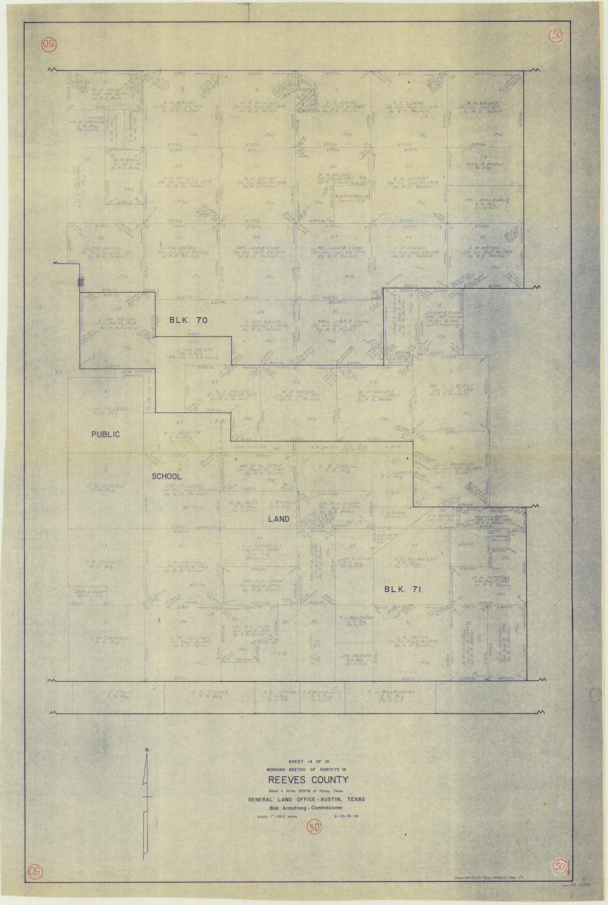
Reeves County Working Sketch 50
-
Map/Doc
63493
-
Collection
General Map Collection
-
Object Dates
8/20/1974 (Creation Date)
-
Counties
Reeves
-
Subjects
Surveying Working Sketch
-
Height x Width
45.3 x 30.4 inches
115.1 x 77.2 cm
-
Scale
1" = 500 varas
Part of: General Map Collection
Hunt County Sketch File 11

Print $4.00
- Digital $50.00
Hunt County Sketch File 11
1860
Size 12.1 x 7.6 inches
Map/Doc 27102
Wichita County Sketch File 14

Print $20.00
- Digital $50.00
Wichita County Sketch File 14
1885
Size 17.7 x 17.0 inches
Map/Doc 12678
Jefferson County

Print $20.00
- Digital $50.00
Jefferson County
1882
Size 22.8 x 20.0 inches
Map/Doc 3730
Map of Kyle, Lockhart & Southern Ry.

Print $40.00
- Digital $50.00
Map of Kyle, Lockhart & Southern Ry.
1882
Size 14.5 x 94.9 inches
Map/Doc 64285
Flight Mission No. BQR-5K, Frame 75, Brazoria County

Print $20.00
- Digital $50.00
Flight Mission No. BQR-5K, Frame 75, Brazoria County
1952
Size 18.8 x 22.4 inches
Map/Doc 84020
Cass County Working Sketch 47a

Print $20.00
- Digital $50.00
Cass County Working Sketch 47a
1991
Size 29.5 x 39.5 inches
Map/Doc 67950
Right of Way and Track Map, International & Gt. Northern Ry. operated by the International & Gt. Northern Ry. Co. Gulf Division, Mineola Branch

Print $40.00
- Digital $50.00
Right of Way and Track Map, International & Gt. Northern Ry. operated by the International & Gt. Northern Ry. Co. Gulf Division, Mineola Branch
1917
Size 27.8 x 118.1 inches
Map/Doc 64704

Presidio County Working Sketch 29

Print $20.00
- Digital $50.00
Presidio County Working Sketch 29
1946
Size 40.0 x 36.6 inches
Map/Doc 71705
Angelina County Sketch File 21a

Print $24.00
- Digital $50.00
Angelina County Sketch File 21a
1883
Size 8.3 x 12.6 inches
Map/Doc 13041
Hutchinson County Rolled Sketch 29

Print $20.00
- Digital $50.00
Hutchinson County Rolled Sketch 29
1925
Size 19.3 x 13.9 inches
Map/Doc 6291
Wise County Working Sketch 7

Print $20.00
- Digital $50.00
Wise County Working Sketch 7
1950
Size 26.2 x 24.8 inches
Map/Doc 72621
You may also like
[Blks. Z, C4, 194, 178, C3, A2, 179 and 207]
![89837, [Blks. Z, C4, 194, 178, C3, A2, 179 and 207], Twichell Survey Records](https://historictexasmaps.com/wmedia_w700/maps/89837-1.tif.jpg)
Print $40.00
- Digital $50.00
[Blks. Z, C4, 194, 178, C3, A2, 179 and 207]
Size 61.6 x 37.5 inches
Map/Doc 89837
Township No. 5 South Range No. 10 West of the Indian Meridian

Print $20.00
- Digital $50.00
Township No. 5 South Range No. 10 West of the Indian Meridian
1874
Size 19.2 x 24.5 inches
Map/Doc 75161
[Block J and vicinity]
![89949, [Block J and vicinity], Twichell Survey Records](https://historictexasmaps.com/wmedia_w700/maps/89949-1.tif.jpg)
Print $40.00
- Digital $50.00
[Block J and vicinity]
Size 53.3 x 36.9 inches
Map/Doc 89949
Upton County Working Sketch 24

Print $20.00
- Digital $50.00
Upton County Working Sketch 24
1953
Size 36.7 x 39.2 inches
Map/Doc 69520
General Highway Map, Mason County, Texas

Print $20.00
General Highway Map, Mason County, Texas
1961
Size 18.3 x 24.8 inches
Map/Doc 79584
The Judicial District/County of Hamilton. Abolished, Spring 1842

Print $20.00
The Judicial District/County of Hamilton. Abolished, Spring 1842
2020
Size 14.9 x 21.7 inches
Map/Doc 96330
Flight Mission No. DQN-2K, Frame 72, Calhoun County

Print $20.00
- Digital $50.00
Flight Mission No. DQN-2K, Frame 72, Calhoun County
1953
Size 18.6 x 22.3 inches
Map/Doc 84264
Baylor County Boundary File 5

Print $56.00
- Digital $50.00
Baylor County Boundary File 5
Size 8.1 x 62.3 inches
Map/Doc 50392
El Paso County Sketch File 26

Print $20.00
- Digital $50.00
El Paso County Sketch File 26
Size 24.8 x 21.9 inches
Map/Doc 11457
Portion of Lynn and Terry Counties

Print $20.00
- Digital $50.00
Portion of Lynn and Terry Counties
Size 34.2 x 35.5 inches
Map/Doc 92934
[Location, Chicago & Rock Island Railroad Through Tarrant County]
![64343, [Location, Chicago & Rock Island Railroad Through Tarrant County], General Map Collection](https://historictexasmaps.com/wmedia_w700/maps/64343.tif.jpg)
Print $40.00
- Digital $50.00
[Location, Chicago & Rock Island Railroad Through Tarrant County]
Size 25.9 x 115.5 inches
Map/Doc 64343
Colorado County Sketch File 28

Print $17.00
- Digital $50.00
Colorado County Sketch File 28
1935
Size 9.1 x 7.7 inches
Map/Doc 18966