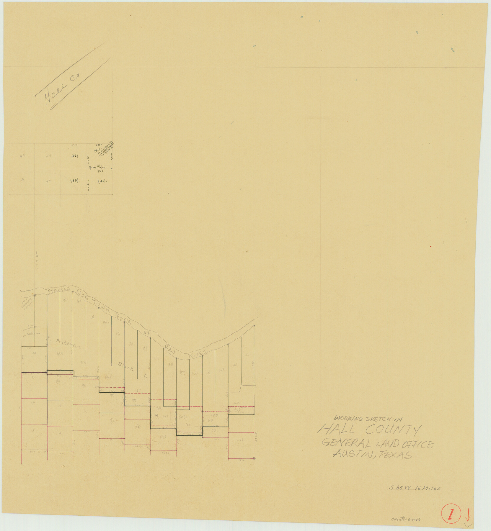
Hall County Working Sketch 1
- 
                          Map/Doc63329
- 
                            CollectionGeneral Map Collection
- 
                            CountiesHall
- 
                            SubjectsSurveying Working Sketch
- 
                            Height x Width19.5 x 18.0 inches49.5 x 45.7 cm
Part of: General Map Collection
            Flight Mission No. BRA-16M, Frame 180, Jefferson County


                                            Print $20.00                    
                                             -                         Digital $50.00                                    
                Flight Mission No. BRA-16M, Frame 180, Jefferson County
1953
Size 18.5 x 22.4 inches
                                Map/Doc 85778
            
            Williamson County Working Sketch 8


                                            Print $20.00                    
                                             -                         Digital $50.00                                    
                Williamson County Working Sketch 8
1950
Size 43.4 x 25.4 inches
                                Map/Doc 72568
            
            Zapata County Sketch File 13b


                                            Print $6.00                    
                                             -                         Digital $50.00                                    
                Zapata County Sketch File 13b
1936
Size 11.4 x 8.9 inches
                                Map/Doc 40954
            
            Ward County Rolled Sketch 21


                                            Print $20.00                    
                                             -                         Digital $50.00                                    
                Ward County Rolled Sketch 21
1951
Size 21.1 x 43.3 inches
                                Map/Doc 8163
            
            Lubbock County


                                            Print $20.00                    
                                             -                         Digital $50.00                                    
                Lubbock County
1915
Size 46.1 x 40.0 inches
                                Map/Doc 66911
            
            Garza County Working Sketch 5


                                            Print $20.00                    
                                             -                         Digital $50.00                                    
                Garza County Working Sketch 5
1943
Size 19.4 x 34.7 inches
                                Map/Doc 63152
            
            Upton County Sketch File 4


                                            Print $40.00                    
                                             -                         Digital $50.00                                    
                Upton County Sketch File 4
1886
Size 19.5 x 9.0 inches
                                Map/Doc 12510
            
            Randall County Sketch File 8


                                            Print $20.00                    
                                             -                         Digital $50.00                                    
                Randall County Sketch File 8
Size 18.1 x 23.1 inches
                                Map/Doc 12209
            
            DeWitt County Rolled Sketch 2


                                            Print $20.00                    
                                             -                         Digital $50.00                                    
                DeWitt County Rolled Sketch 2
1943
Size 32.0 x 42.7 inches
                                Map/Doc 8778
            
            Brazoria County Sketch File 36


                                            Print $40.00                    
                                             -                         Digital $50.00                                    
                Brazoria County Sketch File 36
1933
Size 34.6 x 45.6 inches
                                Map/Doc 10325
            
            Louisiana and Texas Intracoastal Waterway, Section 7, Galveston Bay to Brazos River and Section 8, Brazos River to Matagorda Bay


                                            Print $20.00                    
                                             -                         Digital $50.00                                    
                Louisiana and Texas Intracoastal Waterway, Section 7, Galveston Bay to Brazos River and Section 8, Brazos River to Matagorda Bay
1937
Size 31.0 x 42.8 inches
                                Map/Doc 61843
            You may also like
            Calhoun County Sketch File 19


                                            Print $70.00                    
                                             -                         Digital $50.00                                    
                Calhoun County Sketch File 19
1998
Size 11.1 x 8.1 inches
                                Map/Doc 35992
            
            Bastrop County Boundary File 2


                                            Print $12.00                    
                                             -                         Digital $50.00                                    
                Bastrop County Boundary File 2
Size 9.1 x 6.9 inches
                                Map/Doc 50315
            
            Shelby County Working Sketch 23a


                                            Print $20.00                    
                                             -                         Digital $50.00                                    
                Shelby County Working Sketch 23a
1983
Size 28.1 x 31.0 inches
                                Map/Doc 63876
            
            [Sketch for Mineral Application 18874 - Pecos River Bed, W. J. Bonner]
            
                                    ![65583, [Sketch for Mineral Application 18874 - Pecos River Bed, W. J. Bonner], General Map Collection](https://historictexasmaps.com/wmedia_w700/maps/65583.tif.jpg) 


    ![65583, [Sketch for Mineral Application 18874 - Pecos River Bed, W. J. Bonner], General Map Collection](https://historictexasmaps.com/wmedia_w700/maps/65583.tif.jpg) 
                                
            
                                            Print $20.00                    
                                             -                         Digital $50.00                                    
                [Sketch for Mineral Application 18874 - Pecos River Bed, W. J. Bonner]
1927
Size 37.6 x 32.3 inches
                                Map/Doc 65583
            
            Wise County Sketch File 18


                                            Print $4.00                    
                                             -                         Digital $50.00                                    
                Wise County Sketch File 18
1860
Size 12.8 x 7.8 inches
                                Map/Doc 40553
            
            W. D. McMillan Estate


                                            Print $20.00                    
                                             -                         Digital $50.00                                    
                W. D. McMillan Estate
1951
Size 18.0 x 23.1 inches
                                Map/Doc 92730
            
            Mexico and Internal Provinces


                                            Print $20.00                    
                                             -                         Digital $50.00                                    
                Mexico and Internal Provinces
1829
Size 13.6 x 15.3 inches
                                Map/Doc 96971
            
            [Mrs. May Vinson Survey]
            
                                    ![91869, [Mrs. May Vinson Survey], Twichell Survey Records](https://historictexasmaps.com/wmedia_w700/maps/91869-1.tif.jpg) 


    ![91869, [Mrs. May Vinson Survey], Twichell Survey Records](https://historictexasmaps.com/wmedia_w700/maps/91869-1.tif.jpg) 
                                
            
                                            Print $20.00                    
                                             -                         Digital $50.00                                    
                [Mrs. May Vinson Survey]
Size 25.5 x 14.8 inches
                                Map/Doc 91869
            
            Flight Mission No. DQO-8K, Frame 43, Galveston County


                                            Print $20.00                    
                                             -                         Digital $50.00                                    
                Flight Mission No. DQO-8K, Frame 43, Galveston County
1952
Size 18.6 x 22.3 inches
                                Map/Doc 85150
            
            Maps & Lists Showing Prison Lands (Oil & Gas) Leased as of June 1955


                                                                    Digital $50.00                                    
                Maps & Lists Showing Prison Lands (Oil & Gas) Leased as of June 1955
Size 11.4 x 7.1 inches
                                Map/Doc 62866
            
            Cass County Working Sketch 47a


                                            Print $20.00                    
                                             -                         Digital $50.00                                    
                Cass County Working Sketch 47a
1991
Size 29.5 x 39.5 inches
                                Map/Doc 67950
            
            General Chart of the Coast No. XXI Gulf Coast from Galveston to the Rio Grande


                                            Print $20.00                    
                                             -                         Digital $50.00                                    
                General Chart of the Coast No. XXI Gulf Coast from Galveston to the Rio Grande
1883
Size 27.2 x 18.3 inches
                                Map/Doc 72728
             
                        