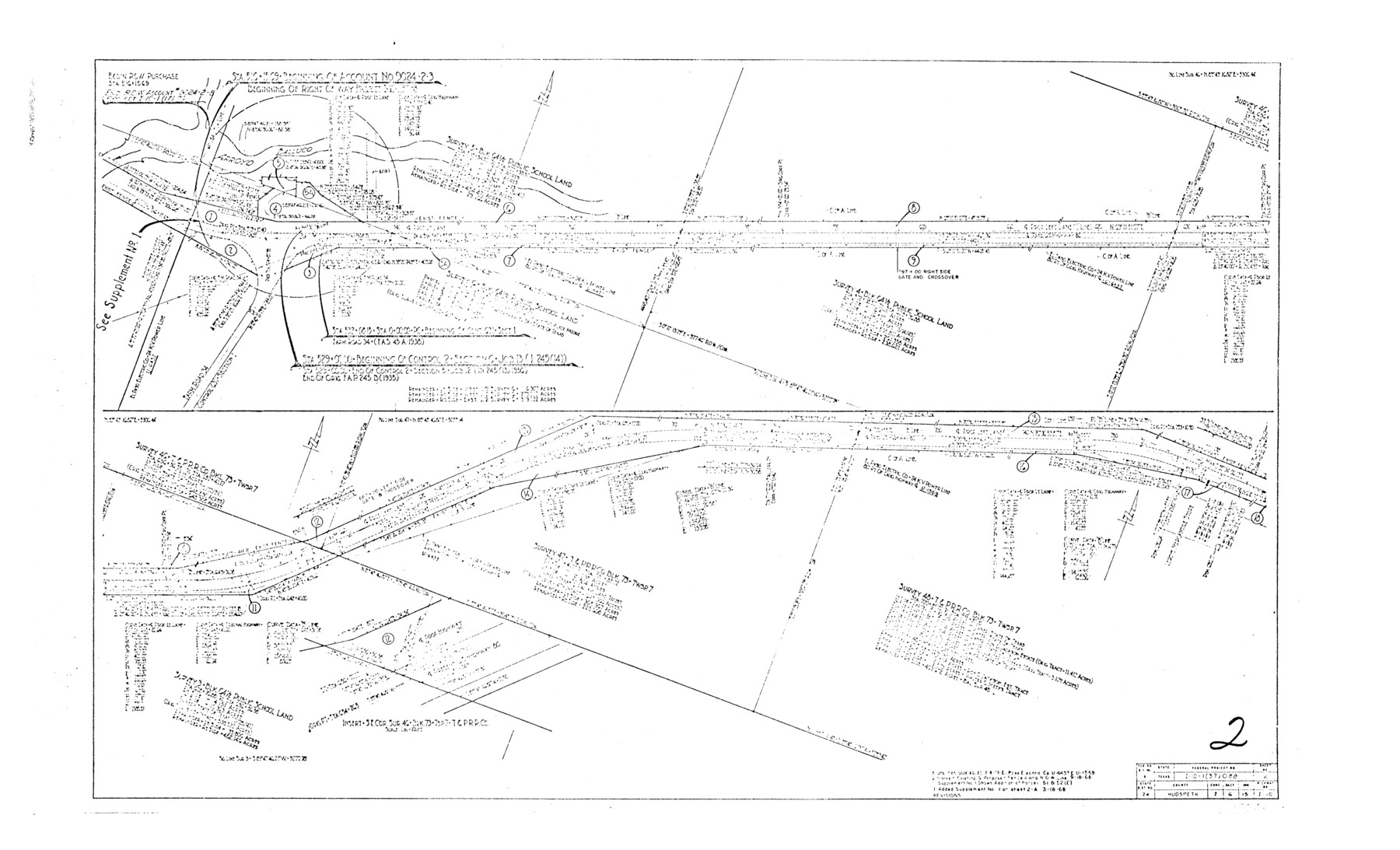
Hudspeth County Rolled Sketch 66
[Plan of proposed right of way project, Hudspeth County, Interstate Highway 10]
Sheet 2 of 5
-
Map/Doc
6260
-
Collection
General Map Collection
-
Object Dates
5/7/1973 (Creation Date)
3/20/1989 (File Date)
-
People and Organizations
State Highway Department (Publisher)
Texas Highway Department (Compiler)
Texas Highway Department (Surveyor/Engineer)
-
Counties
Hudspeth
-
Subjects
Surveying Rolled Sketch
-
Height x Width
12.1 x 19.9 inches
30.7 x 50.6 cm
-
Medium
paper, photocopy
-
Comments
For other sheets see maps 6259 and 6261-6263
Related maps
Hudspeth County Rolled Sketch 66

Print $20.00
- Digital $50.00
Hudspeth County Rolled Sketch 66
1973
Size 11.9 x 20.5 inches
Map/Doc 6259
Hudspeth County Rolled Sketch 66

Print $20.00
- Digital $50.00
Hudspeth County Rolled Sketch 66
1973
Size 12.1 x 18.7 inches
Map/Doc 6261
Hudspeth County Rolled Sketch 66

Print $20.00
- Digital $50.00
Hudspeth County Rolled Sketch 66
1973
Size 12.0 x 19.0 inches
Map/Doc 6262
Hudspeth County Rolled Sketch 66

Print $20.00
- Digital $50.00
Hudspeth County Rolled Sketch 66
1973
Size 11.7 x 18.2 inches
Map/Doc 6263
Part of: General Map Collection
Zapata County Sketch File 9

Print $40.00
- Digital $50.00
Zapata County Sketch File 9
1917
Size 31.8 x 49.4 inches
Map/Doc 10439
Pecos County Working Sketch 91b

Print $40.00
- Digital $50.00
Pecos County Working Sketch 91b
1965
Size 78.9 x 32.7 inches
Map/Doc 71564
Flight Mission No. DAH-9M, Frame 157, Orange County

Print $20.00
- Digital $50.00
Flight Mission No. DAH-9M, Frame 157, Orange County
1953
Size 18.5 x 22.5 inches
Map/Doc 86856
Kleberg County

Print $20.00
- Digital $50.00
Kleberg County
1913
Size 26.7 x 32.8 inches
Map/Doc 66894
Dimmit County Sketch File 35

Print $6.00
- Digital $50.00
Dimmit County Sketch File 35
1885
Size 6.5 x 8.5 inches
Map/Doc 21155
Archer County Rolled Sketch 9

Print $20.00
- Digital $50.00
Archer County Rolled Sketch 9
1891
Size 35.9 x 30.6 inches
Map/Doc 5104
McMullen County Sketch File 35

Print $10.00
- Digital $50.00
McMullen County Sketch File 35
Size 9.7 x 8.5 inches
Map/Doc 31402
Carte d'un Nouveau Monde, entre le Nouveau Mexique, et la Mer Glacialle

Print $20.00
- Digital $50.00
Carte d'un Nouveau Monde, entre le Nouveau Mexique, et la Mer Glacialle
Size 11.5 x 18.1 inches
Map/Doc 96555
Mitchell County Working Sketch 6

Print $20.00
- Digital $50.00
Mitchell County Working Sketch 6
1960
Size 26.1 x 22.6 inches
Map/Doc 71063
Lamar County Working Sketch Graphic Index

Print $20.00
- Digital $50.00
Lamar County Working Sketch Graphic Index
1934
Size 47.9 x 37.5 inches
Map/Doc 76612
Comanche County Sketch File 8

Print $4.00
- Digital $50.00
Comanche County Sketch File 8
1853
Size 13.1 x 8.2 inches
Map/Doc 19066
Crockett County Rolled Sketch 42A

Print $20.00
- Digital $50.00
Crockett County Rolled Sketch 42A
Size 20.3 x 24.4 inches
Map/Doc 5593
You may also like
Falls County State Real Property Sketch 1

Print $40.00
- Digital $50.00
Falls County State Real Property Sketch 1
1999
Size 23.6 x 23.5 inches
Map/Doc 61669
Houston County Working Sketch 10

Print $20.00
- Digital $50.00
Houston County Working Sketch 10
1953
Size 32.7 x 27.3 inches
Map/Doc 66240
Hudspeth County Rolled Sketch 36

Print $20.00
- Digital $50.00
Hudspeth County Rolled Sketch 36
1952
Size 30.8 x 19.9 inches
Map/Doc 6249
Runnels County Sketch File 6

Print $5.00
Runnels County Sketch File 6
1872
Size 9.9 x 15.9 inches
Map/Doc 35440
Loving County Working Sketch 11

Print $40.00
- Digital $50.00
Loving County Working Sketch 11
1957
Size 21.6 x 50.9 inches
Map/Doc 70644
Southern Part of Laguna Madre

Print $20.00
- Digital $50.00
Southern Part of Laguna Madre
1972
Size 44.3 x 35.6 inches
Map/Doc 73542
Reeves County Working Sketch 39

Print $40.00
- Digital $50.00
Reeves County Working Sketch 39
1971
Size 60.9 x 36.2 inches
Map/Doc 63482
Erath County Sketch File 32

Print $8.00
- Digital $50.00
Erath County Sketch File 32
1936
Size 11.5 x 8.8 inches
Map/Doc 22311
Bexar County Sketch File 48

Print $4.00
- Digital $50.00
Bexar County Sketch File 48
Size 10.8 x 8.6 inches
Map/Doc 14528
Flight Mission No. CUG-3P, Frame 94, Kleberg County

Print $20.00
- Digital $50.00
Flight Mission No. CUG-3P, Frame 94, Kleberg County
1956
Size 18.4 x 22.2 inches
Map/Doc 86264
Dallas County Boundary File 6c

Print $4.00
- Digital $50.00
Dallas County Boundary File 6c
Size 14.0 x 8.6 inches
Map/Doc 52227
[Texas Boundary Line]
![92070, [Texas Boundary Line], Twichell Survey Records](https://historictexasmaps.com/wmedia_w700/maps/92070-1.tif.jpg)
Print $20.00
- Digital $50.00
[Texas Boundary Line]
Size 21.5 x 12.0 inches
Map/Doc 92070