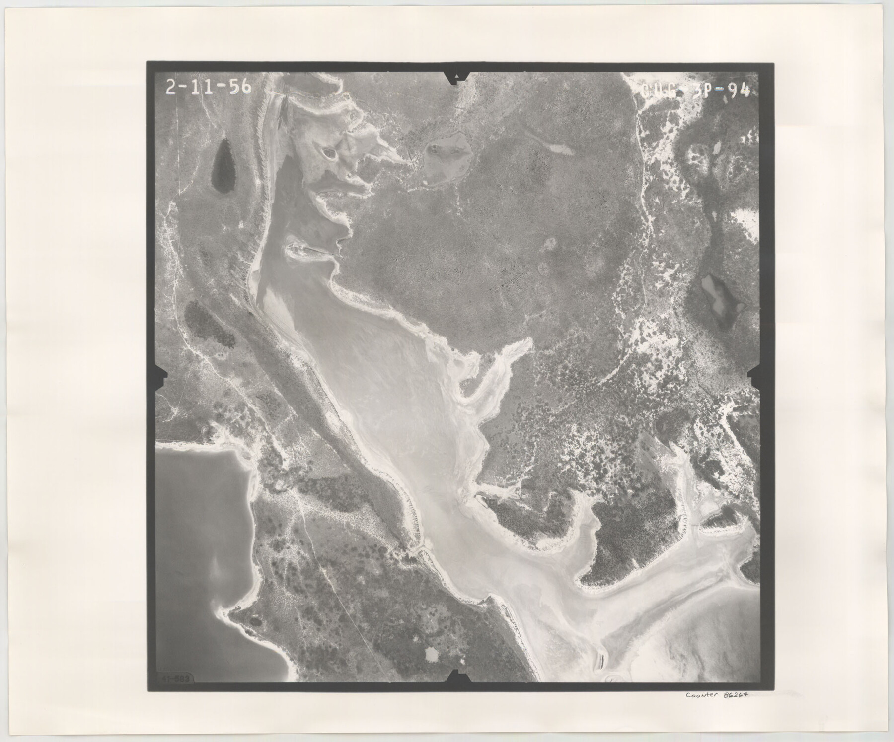
Flight Mission No. CUG-3P, Frame 94, Kleberg County
CUG-3P-94
-
Map/Doc
86264
-
Collection
General Map Collection
-
Object Dates
1956/2/11 (Creation Date)
-
People and Organizations
U. S. Department of Agriculture (Publisher)
-
Counties
Kleberg
-
Subjects
Aerial Photograph
-
Height x Width
18.4 x 22.2 inches
46.7 x 56.4 cm
-
Comments
Flown by V. L. Beavers and Associates of San Antonio, Texas.
Part of: General Map Collection
Maverick County Sketch File 16a

Print $9.00
- Digital $50.00
Maverick County Sketch File 16a
1886
Size 9.5 x 13.7 inches
Map/Doc 31117
Bowles's New Pocket Map of North America, divided into it's Provinces, Colonies, &c.

Print $20.00
- Digital $50.00
Bowles's New Pocket Map of North America, divided into it's Provinces, Colonies, &c.
1776
Size 21.8 x 29.0 inches
Map/Doc 93732
Wharton County Working Sketch 13

Print $20.00
- Digital $50.00
Wharton County Working Sketch 13
1968
Size 38.5 x 36.3 inches
Map/Doc 72477
Loving County Sketch File 6

Print $10.00
- Digital $50.00
Loving County Sketch File 6
1963
Size 7.2 x 5.9 inches
Map/Doc 41451
Hardeman County Boundary File 38

Print $70.00
- Digital $50.00
Hardeman County Boundary File 38
Size 12.9 x 8.2 inches
Map/Doc 54400
Chambers County Sketch File 31

Print $40.00
- Digital $50.00
Chambers County Sketch File 31
1856
Size 12.4 x 15.2 inches
Map/Doc 17614
Freestone County

Print $20.00
- Digital $50.00
Freestone County
1988
Size 43.0 x 41.8 inches
Map/Doc 77284
Atascosa County

Print $20.00
- Digital $50.00
Atascosa County
1873
Size 22.2 x 23.1 inches
Map/Doc 3249
Flight Mission No. DAG-17K, Frame 129, Matagorda County

Print $20.00
- Digital $50.00
Flight Mission No. DAG-17K, Frame 129, Matagorda County
1952
Size 18.6 x 22.3 inches
Map/Doc 86349
Sketch C Showing the Progress of the Survey in Section III From 1843 to 1852

Print $20.00
- Digital $50.00
Sketch C Showing the Progress of the Survey in Section III From 1843 to 1852
1852
Size 36.2 x 25.6 inches
Map/Doc 97201
Map of Yoakum County

Print $40.00
- Digital $50.00
Map of Yoakum County
1900
Size 51.2 x 38.7 inches
Map/Doc 4169
Amistad International Reservoir on Rio Grande 70a

Print $20.00
- Digital $50.00
Amistad International Reservoir on Rio Grande 70a
1949
Size 28.5 x 39.5 inches
Map/Doc 73357
You may also like
Freestone County Working Sketch 8

Print $40.00
- Digital $50.00
Freestone County Working Sketch 8
1960
Size 60.6 x 36.6 inches
Map/Doc 69250
Aransas County NRC Article 33.136 Sketch 4

Print $28.00
- Digital $50.00
Aransas County NRC Article 33.136 Sketch 4
2005
Size 24.3 x 36.5 inches
Map/Doc 83353
Zavala County Sketch File 47

Print $6.00
- Digital $50.00
Zavala County Sketch File 47
1937
Size 11.3 x 9.0 inches
Map/Doc 41430
Map of Block X in the Name of Jesse F. Cross, Situated in Martin and Dawson Counties, Texas

Print $20.00
- Digital $50.00
Map of Block X in the Name of Jesse F. Cross, Situated in Martin and Dawson Counties, Texas
1908
Size 26.2 x 42.4 inches
Map/Doc 91356
Pecos County Rolled Sketch 42

Print $20.00
- Digital $50.00
Pecos County Rolled Sketch 42
1909
Size 19.6 x 41.0 inches
Map/Doc 7220
Flight Mission No. CGI-3N, Frame 68, Cameron County

Print $20.00
- Digital $50.00
Flight Mission No. CGI-3N, Frame 68, Cameron County
1954
Size 18.4 x 22.2 inches
Map/Doc 84562
El Paso County Rolled Sketch 52

Print $20.00
- Digital $50.00
El Paso County Rolled Sketch 52
1960
Size 18.4 x 24.4 inches
Map/Doc 5841
Sketch of Survey 3, Block 1 in Dickens and King Counties

Print $20.00
- Digital $50.00
Sketch of Survey 3, Block 1 in Dickens and King Counties
1914
Size 10.0 x 27.5 inches
Map/Doc 10765
Flight Mission No. DIX-3P, Frame 134, Aransas County

Print $20.00
- Digital $50.00
Flight Mission No. DIX-3P, Frame 134, Aransas County
1956
Size 17.8 x 19.0 inches
Map/Doc 83764
Cass County Sketch File 19

Print $40.00
- Digital $50.00
Cass County Sketch File 19
1893
Size 15.7 x 12.6 inches
Map/Doc 17422
Angelina County Working Sketch 19

Print $20.00
- Digital $50.00
Angelina County Working Sketch 19
1946
Size 35.8 x 39.3 inches
Map/Doc 67100
Palo Pinto County Working Sketch 7

Print $20.00
- Digital $50.00
Palo Pinto County Working Sketch 7
1922
Map/Doc 71390