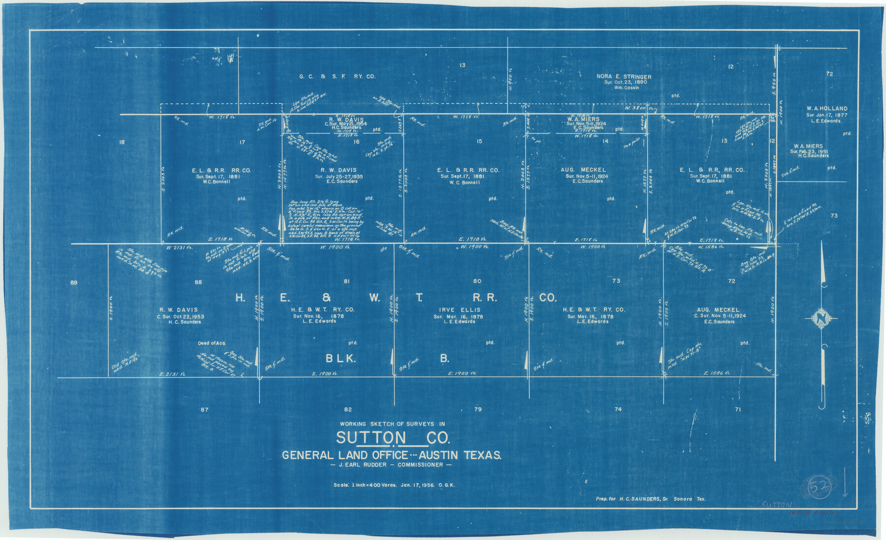
Sutton County Working Sketch 52
-
Map/Doc
62395
-
Collection
General Map Collection
-
Object Dates
1/17/1956 (Creation Date)
-
People and Organizations
Otto G. Kurio (Draftsman)
-
Counties
Sutton
-
Subjects
Surveying Working Sketch
-
Height x Width
19.2 x 31.4 inches
48.8 x 79.8 cm
-
Scale
1" = 400 varas
Part of: General Map Collection
Randall County Boundary File 1

Print $26.00
- Digital $50.00
Randall County Boundary File 1
Size 14.0 x 8.5 inches
Map/Doc 58098
Sketch of 103rd Meridian, W. L. Showing Conflict of Capitol Leagues

Print $40.00
- Digital $50.00
Sketch of 103rd Meridian, W. L. Showing Conflict of Capitol Leagues
Size 26.9 x 85.1 inches
Map/Doc 65505
Brown County Sketch File 27

Print $4.00
- Digital $50.00
Brown County Sketch File 27
1868
Size 13.3 x 8.1 inches
Map/Doc 16624
Map representing the surveys made in Bexar County

Print $40.00
- Digital $50.00
Map representing the surveys made in Bexar County
1839
Size 75.7 x 35.1 inches
Map/Doc 93365
Brewster County Rolled Sketch 81

Print $20.00
- Digital $50.00
Brewster County Rolled Sketch 81
1945
Size 30.8 x 33.9 inches
Map/Doc 8494
Flight Mission No. CLL-3N, Frame 16, Willacy County

Print $20.00
- Digital $50.00
Flight Mission No. CLL-3N, Frame 16, Willacy County
1954
Size 18.5 x 22.1 inches
Map/Doc 87082
Dickens County Rolled Sketch B

Print $20.00
- Digital $50.00
Dickens County Rolled Sketch B
1894
Size 24.9 x 26.9 inches
Map/Doc 5709
Brazoria County Boundary File 12 1/2

Print $10.00
- Digital $50.00
Brazoria County Boundary File 12 1/2
Size 9.0 x 7.3 inches
Map/Doc 50733
Flight Mission No. BRE-2P, Frame 105, Nueces County

Print $20.00
- Digital $50.00
Flight Mission No. BRE-2P, Frame 105, Nueces County
1956
Size 18.4 x 22.2 inches
Map/Doc 86790
Lamar County Boundary File 56a

Print $34.00
- Digital $50.00
Lamar County Boundary File 56a
Size 8.7 x 14.3 inches
Map/Doc 56020
Flight Mission No. DIX-6P, Frame 124, Aransas County

Print $20.00
- Digital $50.00
Flight Mission No. DIX-6P, Frame 124, Aransas County
1956
Size 19.0 x 22.4 inches
Map/Doc 83830
Edwards County Working Sketch 76

Print $20.00
- Digital $50.00
Edwards County Working Sketch 76
1959
Size 22.8 x 24.8 inches
Map/Doc 68952
You may also like
Crockett County Rolled Sketch 50

Print $20.00
- Digital $50.00
Crockett County Rolled Sketch 50
1940
Size 31.5 x 40.7 inches
Map/Doc 8714
Madison County Working Sketch 10

Print $20.00
- Digital $50.00
Madison County Working Sketch 10
1960
Size 34.7 x 32.0 inches
Map/Doc 70772
Wharton County Sketch File 8

Print $4.00
- Digital $50.00
Wharton County Sketch File 8
1882
Size 8.9 x 10.1 inches
Map/Doc 39927
San Augustine County Sketch File 3

Print $10.00
San Augustine County Sketch File 3
1858
Size 11.8 x 8.1 inches
Map/Doc 35635
Ownership Map Lamb County

Print $20.00
- Digital $50.00
Ownership Map Lamb County
1934
Size 37.6 x 45.0 inches
Map/Doc 89847
[Sketch Between Hemphill County and Oklahoma]
![89635, [Sketch Between Hemphill County and Oklahoma], Twichell Survey Records](https://historictexasmaps.com/wmedia_w700/maps/89635-1.tif.jpg)
Print $40.00
- Digital $50.00
[Sketch Between Hemphill County and Oklahoma]
Size 62.0 x 8.0 inches
Map/Doc 89635
La Salle County Working Sketch 5

Print $20.00
- Digital $50.00
La Salle County Working Sketch 5
1915
Size 17.2 x 13.4 inches
Map/Doc 70306
Hays County State Real Property Sketch 1

Print $20.00
- Digital $50.00
Hays County State Real Property Sketch 1
2005
Size 31.1 x 42.2 inches
Map/Doc 83423
[Sketch for Mineral Application 24072, San Jacinto River]
![65587, [Sketch for Mineral Application 24072, San Jacinto River], General Map Collection](https://historictexasmaps.com/wmedia_w700/maps/65587.tif.jpg)
Print $20.00
- Digital $50.00
[Sketch for Mineral Application 24072, San Jacinto River]
1929
Size 19.3 x 16.4 inches
Map/Doc 65587
Map of the River Sabine from its Mouth on the Gulf of Mexico in the Sea to Logan's Ferry in Latitude 31° 58' 25" North

Print $20.00
Map of the River Sabine from its Mouth on the Gulf of Mexico in the Sea to Logan's Ferry in Latitude 31° 58' 25" North
1840
Size 35.5 x 9.1 inches
Map/Doc 79294
Haskell County Sketch File 22

Print $6.00
- Digital $50.00
Haskell County Sketch File 22
Size 14.3 x 8.8 inches
Map/Doc 26179
Zapata County Working Sketch 14

Print $20.00
- Digital $50.00
Zapata County Working Sketch 14
1962
Size 44.5 x 40.4 inches
Map/Doc 62065