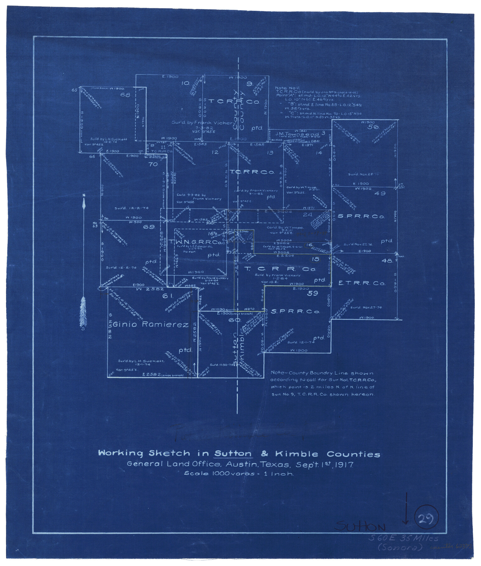
Sutton County Working Sketch 29
-
Map/Doc
62372
-
Collection
General Map Collection
-
Object Dates
9/1/1917 (Creation Date)
-
Counties
Sutton Kimble
-
Subjects
Surveying Working Sketch
-
Height x Width
15.8 x 13.6 inches
40.1 x 34.5 cm
-
Scale
1" = 1000 varas
Part of: General Map Collection
Cass County Working Sketch 55

Print $20.00
- Digital $50.00
Cass County Working Sketch 55
2013
Size 17.3 x 20.6 inches
Map/Doc 93415
Sutton County Rolled Sketch 43

Print $20.00
- Digital $50.00
Sutton County Rolled Sketch 43
1939
Size 18.7 x 26.8 inches
Map/Doc 7885
Travis County Rolled Sketch 32A

Print $40.00
- Digital $50.00
Travis County Rolled Sketch 32A
Size 57.6 x 37.3 inches
Map/Doc 10013
Medina County Working Sketch 27

Print $20.00
- Digital $50.00
Medina County Working Sketch 27
1985
Size 22.8 x 24.8 inches
Map/Doc 70942
Bell County Sketch File 20

Print $4.00
- Digital $50.00
Bell County Sketch File 20
1855
Size 9.0 x 7.9 inches
Map/Doc 14406
Hudspeth County Working Sketch 48

Print $20.00
- Digital $50.00
Hudspeth County Working Sketch 48
1984
Size 36.6 x 46.3 inches
Map/Doc 66333
Frio County Working Sketch 5

Print $20.00
- Digital $50.00
Frio County Working Sketch 5
1936
Size 33.9 x 23.0 inches
Map/Doc 69279
Terrell County Working Sketch 35a

Print $20.00
- Digital $50.00
Terrell County Working Sketch 35a
1948
Size 26.4 x 45.1 inches
Map/Doc 62128
Comanche County Boundary File 21

Print $10.00
- Digital $50.00
Comanche County Boundary File 21
Size 8.3 x 3.7 inches
Map/Doc 51800
Texas Gulf Coast, from the Sabine River to the Rio Grande as Subdivided for Mineral Development; Jefferson, Chambers and Galveston Counties

Print $20.00
- Digital $50.00
Texas Gulf Coast, from the Sabine River to the Rio Grande as Subdivided for Mineral Development; Jefferson, Chambers and Galveston Counties
1976
Size 29.0 x 42.5 inches
Map/Doc 1937
Flight Mission No. DQN-3K, Frame 12, Calhoun County

Print $20.00
- Digital $50.00
Flight Mission No. DQN-3K, Frame 12, Calhoun County
1953
Size 18.8 x 22.4 inches
Map/Doc 84344
Jackson County Rolled Sketch 7

Print $20.00
- Digital $50.00
Jackson County Rolled Sketch 7
1940
Size 23.0 x 32.2 inches
Map/Doc 6342
You may also like
Wood County Boundary File 7

Print $34.00
- Digital $50.00
Wood County Boundary File 7
Size 13.3 x 8.8 inches
Map/Doc 60187
The Republic County of Fort Bend. December 29, 1845

Print $20.00
The Republic County of Fort Bend. December 29, 1845
2020
Size 14.7 x 21.6 inches
Map/Doc 96142

Ellwood Farms Subdivision Number 2 of the Spade Ranch

Print $20.00
- Digital $50.00
Ellwood Farms Subdivision Number 2 of the Spade Ranch
Size 21.9 x 31.4 inches
Map/Doc 90986
L. A. Wells Subdivision of Sections 6-11-12-13-18, Block V, Cochran County, Tex.

Print $2.00
- Digital $50.00
L. A. Wells Subdivision of Sections 6-11-12-13-18, Block V, Cochran County, Tex.
Size 6.7 x 8.4 inches
Map/Doc 90441
Panola County Working Sketch 31

Print $20.00
- Digital $50.00
Panola County Working Sketch 31
1981
Map/Doc 71440
Brazoria County Rolled Sketch 25

Print $40.00
- Digital $50.00
Brazoria County Rolled Sketch 25
1935
Size 50.8 x 33.5 inches
Map/Doc 8928
Perspective Map of Fort Worth, Tex.

Print $20.00
Perspective Map of Fort Worth, Tex.
1891
Size 22.2 x 36.3 inches
Map/Doc 93472
Dimmit County Sketch File 20

Print $6.00
- Digital $50.00
Dimmit County Sketch File 20
1884
Size 13.0 x 8.7 inches
Map/Doc 21100
Sketch in Terry & Yoakum Counties

Print $20.00
- Digital $50.00
Sketch in Terry & Yoakum Counties
1945
Size 21.8 x 40.0 inches
Map/Doc 92854
Childress County Sketch File 3

Print $30.00
- Digital $50.00
Childress County Sketch File 3
1885
Size 14.1 x 8.6 inches
Map/Doc 18245
University Land Field Note Volume Index

University Land Field Note Volume Index
2023
Size 8.5 x 11.0 inches
Map/Doc 97177