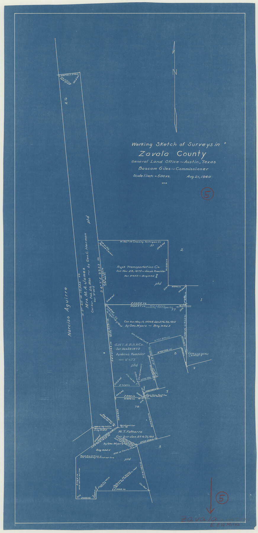
Zavala County Working Sketch 5
-
Map/Doc
62080
-
Collection
General Map Collection
-
Object Dates
8/21/1940 (Creation Date)
-
People and Organizations
W. S. Brewington (Draftsman)
-
Counties
Zavala
-
Subjects
Surveying Working Sketch
-
Height x Width
29.6 x 14.3 inches
75.2 x 36.3 cm
-
Scale
1" = 500 varas
Part of: General Map Collection
Liberty County Rolled Sketch H

Print $20.00
- Digital $50.00
Liberty County Rolled Sketch H
1943
Size 22.2 x 29.6 inches
Map/Doc 6623
Sabine County Working Sketch 16

Print $20.00
- Digital $50.00
Sabine County Working Sketch 16
1984
Size 26.0 x 29.8 inches
Map/Doc 63687
Young County Working Sketch 12

Print $20.00
- Digital $50.00
Young County Working Sketch 12
1921
Size 17.6 x 19.0 inches
Map/Doc 62035
Erath County Working Sketch 23

Print $20.00
- Digital $50.00
Erath County Working Sketch 23
1966
Size 38.2 x 29.0 inches
Map/Doc 69104
El Paso County Boundary File 3

Print $6.00
- Digital $50.00
El Paso County Boundary File 3
Size 9.7 x 6.1 inches
Map/Doc 53035
Wharton County Sketch File 3a

Print $4.00
- Digital $50.00
Wharton County Sketch File 3a
1875
Size 6.8 x 4.6 inches
Map/Doc 39917
Terrell County Rolled Sketch 31

Print $20.00
- Digital $50.00
Terrell County Rolled Sketch 31
1931
Size 24.4 x 28.4 inches
Map/Doc 7937
Le Nouveau Mexique et la Floride: Tirèes de diverses cartes, et relations

Print $20.00
- Digital $50.00
Le Nouveau Mexique et la Floride: Tirèes de diverses cartes, et relations
1656
Size 17.2 x 22.8 inches
Map/Doc 95833
Flight Mission No. DAG-18K, Frame 76, Matagorda County

Print $20.00
- Digital $50.00
Flight Mission No. DAG-18K, Frame 76, Matagorda County
1952
Size 17.5 x 22.1 inches
Map/Doc 86369
Newton County Working Sketch 20

Print $20.00
- Digital $50.00
Newton County Working Sketch 20
1951
Size 22.7 x 15.7 inches
Map/Doc 71266
Runnels County Sketch File 28

Print $6.00
Runnels County Sketch File 28
1949
Size 11.3 x 8.8 inches
Map/Doc 35493
Dickens County Sketch File 1a

Print $40.00
- Digital $50.00
Dickens County Sketch File 1a
1879
Size 16.8 x 13.8 inches
Map/Doc 20948
You may also like
Newton County Sketch File 23

Print $4.00
- Digital $50.00
Newton County Sketch File 23
1855
Size 10.1 x 8.0 inches
Map/Doc 32403
Edwards County Working Sketch 21

Print $20.00
- Digital $50.00
Edwards County Working Sketch 21
1935
Size 26.7 x 32.0 inches
Map/Doc 68897


Wheeler County

Print $20.00
- Digital $50.00
Wheeler County
1932
Size 41.7 x 38.0 inches
Map/Doc 73322
Navigation Maps of Gulf Intracoastal Waterway, Port Arthur to Brownsville, Texas

Print $4.00
- Digital $50.00
Navigation Maps of Gulf Intracoastal Waterway, Port Arthur to Brownsville, Texas
1951
Size 16.6 x 21.5 inches
Map/Doc 65452
From Citizens of Austin and Harris Counties Living in What Was to Become Fort Bend County for the Creation of a New County (Unnamed), Undated

Print $20.00
From Citizens of Austin and Harris Counties Living in What Was to Become Fort Bend County for the Creation of a New County (Unnamed), Undated
2020
Size 22.6 x 21.7 inches
Map/Doc 96399
Liberty County Sketch File 50

Print $42.00
- Digital $50.00
Liberty County Sketch File 50
1879
Size 12.6 x 8.4 inches
Map/Doc 30014
Castro County, Texas

Print $20.00
- Digital $50.00
Castro County, Texas
1891
Size 24.5 x 20.4 inches
Map/Doc 694
General Highway Map, Blanco County, Texas

Print $20.00
General Highway Map, Blanco County, Texas
1961
Size 25.0 x 18.2 inches
Map/Doc 79376
Red River County Sketch File 18

Print $2.00
- Digital $50.00
Red River County Sketch File 18
Size 5.5 x 7.9 inches
Map/Doc 35149
Harris County Working Sketch 13

Print $20.00
- Digital $50.00
Harris County Working Sketch 13
1915
Size 19.9 x 11.0 inches
Map/Doc 65905