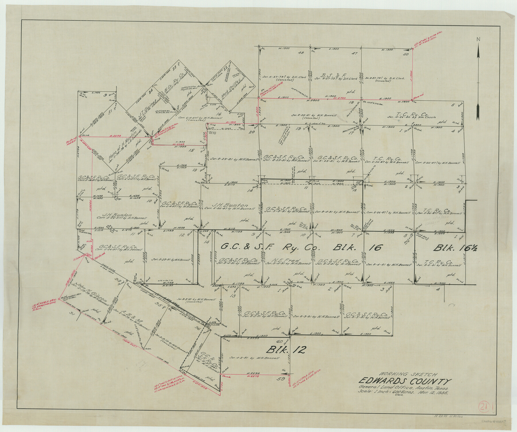
Edwards County Working Sketch 21
-
Map/Doc
68897
-
Collection
General Map Collection
-
Object Dates
3/12/1935 (Creation Date)
-
Counties
Edwards
-
Subjects
Surveying Working Sketch
-
Height x Width
26.7 x 32.0 inches
67.8 x 81.3 cm
-
Scale
1" = 600 varas
Part of: General Map Collection
Flight Mission No. DQN-4K, Frame 8, Calhoun County

Print $20.00
- Digital $50.00
Flight Mission No. DQN-4K, Frame 8, Calhoun County
1953
Size 18.8 x 22.5 inches
Map/Doc 84373
Coleman County Sketch File 43

Print $12.00
- Digital $50.00
Coleman County Sketch File 43
1892
Size 9.2 x 8.8 inches
Map/Doc 18775
Dimmit County Sketch File 11a

Print $20.00
- Digital $50.00
Dimmit County Sketch File 11a
1880
Size 12.9 x 18.7 inches
Map/Doc 11339
Flight Mission No. DCL-6C, Frame 97, Kenedy County

Print $20.00
- Digital $50.00
Flight Mission No. DCL-6C, Frame 97, Kenedy County
1943
Size 18.6 x 22.3 inches
Map/Doc 85927
Flight Mission No. BRE-2P, Frame 134, Nueces County

Print $20.00
- Digital $50.00
Flight Mission No. BRE-2P, Frame 134, Nueces County
1956
Size 18.4 x 22.3 inches
Map/Doc 86807
Flight Mission No. DCL-5C, Frame 67, Kenedy County

Print $20.00
- Digital $50.00
Flight Mission No. DCL-5C, Frame 67, Kenedy County
1943
Size 18.5 x 22.2 inches
Map/Doc 85850
Brown County Working Sketch 6

Print $20.00
- Digital $50.00
Brown County Working Sketch 6
1948
Size 12.9 x 19.3 inches
Map/Doc 67771
Matagorda County Sketch File 37

Print $4.00
- Digital $50.00
Matagorda County Sketch File 37
Size 11.3 x 8.8 inches
Map/Doc 30830
Oldham County Working Sketch 1

Print $20.00
- Digital $50.00
Oldham County Working Sketch 1
1901
Size 40.2 x 24.7 inches
Map/Doc 71323
Runnels County Sketch File C

Print $4.00
Runnels County Sketch File C
Size 14.2 x 8.8 inches
Map/Doc 35457
Wharton County

Print $20.00
- Digital $50.00
Wharton County
1877
Size 24.6 x 26.7 inches
Map/Doc 4133
Brazos River, Ft. Griffin State Park/Mill Cr.-Clear Fork of Brazos River

Print $4.00
- Digital $50.00
Brazos River, Ft. Griffin State Park/Mill Cr.-Clear Fork of Brazos River
1940
Size 27.5 x 20.5 inches
Map/Doc 65291
You may also like
Crockett County Rolled Sketch 26

Print $20.00
- Digital $50.00
Crockett County Rolled Sketch 26
Size 33.7 x 40.9 inches
Map/Doc 5585
Flight Mission No. DAG-21K, Frame 131, Matagorda County

Print $20.00
- Digital $50.00
Flight Mission No. DAG-21K, Frame 131, Matagorda County
1952
Size 18.6 x 22.4 inches
Map/Doc 86457
Jeff Davis County Working Sketch 22

Print $20.00
- Digital $50.00
Jeff Davis County Working Sketch 22
1957
Size 18.9 x 20.9 inches
Map/Doc 66517
Map of the State of Texas

Print $20.00
- Digital $50.00
Map of the State of Texas
1881
Size 15.7 x 21.7 inches
Map/Doc 96614
Flight Mission No. DIX-6P, Frame 185, Aransas County

Print $20.00
- Digital $50.00
Flight Mission No. DIX-6P, Frame 185, Aransas County
1956
Size 19.1 x 22.8 inches
Map/Doc 83847
Brooks County

Print $20.00
- Digital $50.00
Brooks County
1955
Size 42.0 x 34.2 inches
Map/Doc 73091
[Sketch of surveys in the vicinity of sections 171 and 172 along Pedernales]
![91882, [Sketch of surveys in the vicinity of sections 171 and 172 along Pedernales], Twichell Survey Records](https://historictexasmaps.com/wmedia_w700/maps/91882-1.tif.jpg)
Print $20.00
- Digital $50.00
[Sketch of surveys in the vicinity of sections 171 and 172 along Pedernales]
Size 17.2 x 12.9 inches
Map/Doc 91882
Roberts County Working Sketch 41

Print $20.00
- Digital $50.00
Roberts County Working Sketch 41
1978
Size 26.6 x 22.6 inches
Map/Doc 63567
Flight Mission No. DQN-1K, Frame 119, Calhoun County

Print $20.00
- Digital $50.00
Flight Mission No. DQN-1K, Frame 119, Calhoun County
1953
Size 18.6 x 22.1 inches
Map/Doc 84185
Kleberg County Rolled Sketch 10-40

Print $20.00
- Digital $50.00
Kleberg County Rolled Sketch 10-40
1952
Size 38.1 x 34.0 inches
Map/Doc 9392
The Republic County of Nacogdoches. December 6, 1841

Print $20.00
The Republic County of Nacogdoches. December 6, 1841
2020
Size 15.9 x 21.8 inches
Map/Doc 96246
Map of Brown County

Print $40.00
- Digital $50.00
Map of Brown County
1886
Size 48.9 x 41.6 inches
Map/Doc 3342