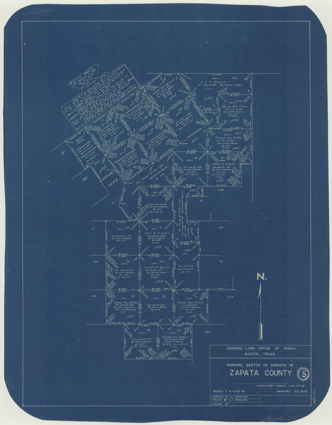
Zapata County Working Sketch 5
-
Map/Doc
62056
-
Collection
General Map Collection
-
Object Dates
1/23/1940 (Creation Date)
-
People and Organizations
J.L. Woodland (Draftsman)
-
Counties
Zapata
-
Subjects
Surveying Working Sketch
-
Height x Width
23.4 x 18.3 inches
59.4 x 46.5 cm
-
Scale
1" = 1000 varas
Part of: General Map Collection
Webb County Sketch File 12-1

Print $16.00
- Digital $50.00
Webb County Sketch File 12-1
1886
Size 13.0 x 8.3 inches
Map/Doc 39793
Right-of-Way and Track Map, Texas State Railroad operated by the T. and N. O. R.R. Co.

Print $40.00
- Digital $50.00
Right-of-Way and Track Map, Texas State Railroad operated by the T. and N. O. R.R. Co.
1917
Size 24.5 x 55.9 inches
Map/Doc 64177
Montgomery County Working Sketch 30

Print $20.00
- Digital $50.00
Montgomery County Working Sketch 30
1946
Size 30.7 x 34.8 inches
Map/Doc 71137
Dimmit County Working Sketch 29

Print $40.00
- Digital $50.00
Dimmit County Working Sketch 29
1957
Size 58.1 x 36.2 inches
Map/Doc 68690
Houston County Sketch File 40

Print $40.00
- Digital $50.00
Houston County Sketch File 40
Size 16.3 x 12.1 inches
Map/Doc 26826
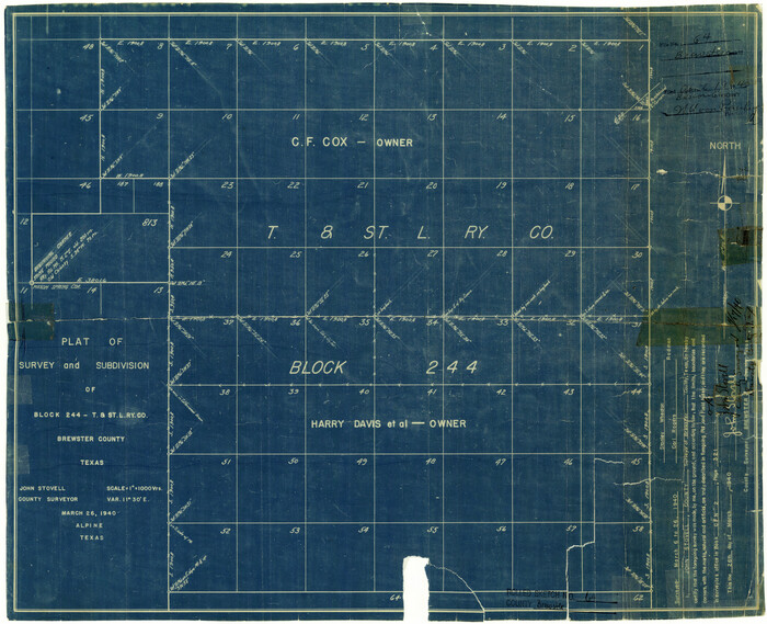
Brewster County Rolled Sketch 64
Print $20.00
- Digital $50.00
Brewster County Rolled Sketch 64
1940
Size 17.1 x 21.0 inches
Map/Doc 5232
Pecos County Working Sketch 26

Print $20.00
- Digital $50.00
Pecos County Working Sketch 26
1929
Size 27.6 x 28.6 inches
Map/Doc 71497

Aransas County Rolled Sketch 15B

Print $20.00
- Digital $50.00
Aransas County Rolled Sketch 15B
Size 19.0 x 19.8 inches
Map/Doc 76066
Baffin Bay, Texas from Penescal Triangulation Station to Bovido Triangulation Station

Print $40.00
- Digital $50.00
Baffin Bay, Texas from Penescal Triangulation Station to Bovido Triangulation Station
1881
Size 32.6 x 54.2 inches
Map/Doc 73484
Trinity County Sketch File 17

Print $4.00
- Digital $50.00
Trinity County Sketch File 17
Size 8.0 x 7.4 inches
Map/Doc 38546
Dimmit County Working Sketch 14

Print $20.00
- Digital $50.00
Dimmit County Working Sketch 14
1941
Size 27.4 x 30.1 inches
Map/Doc 68675
You may also like
Liberty County Sketch File 13

Print $12.00
- Digital $50.00
Liberty County Sketch File 13
1858
Size 8.3 x 7.9 inches
Map/Doc 29909
[Surveys along the Trinity River and below]
![101, [Surveys along the Trinity River and below], General Map Collection](https://historictexasmaps.com/wmedia_w700/maps/101.tif.jpg)
Print $20.00
- Digital $50.00
[Surveys along the Trinity River and below]
1840
Size 22.6 x 17.6 inches
Map/Doc 101
General Highway Map, Sterling County, Texas

Print $20.00
General Highway Map, Sterling County, Texas
1961
Size 24.8 x 18.1 inches
Map/Doc 79661
Midland County Sketch File 13

Print $4.00
- Digital $50.00
Midland County Sketch File 13
1940
Size 11.2 x 8.7 inches
Map/Doc 31576

Map of Hill County

Print $40.00
- Digital $50.00
Map of Hill County
1884
Size 80.0 x 36.8 inches
Map/Doc 93378
Webb County Working Sketch 47

Print $20.00
- Digital $50.00
Webb County Working Sketch 47
1948
Size 35.9 x 36.2 inches
Map/Doc 72412
Starr County Sketch File 48a

Print $40.00
- Digital $50.00
Starr County Sketch File 48a
1950
Size 9.0 x 22.0 inches
Map/Doc 37005
Lipscomb County Boundary File 11

Print $8.00
- Digital $50.00
Lipscomb County Boundary File 11
Size 11.1 x 8.7 inches
Map/Doc 56347
Nacogdoches County

Print $20.00
- Digital $50.00
Nacogdoches County
1950
Size 47.0 x 43.1 inches
Map/Doc 73248
Rand, McNally & Co.'s Texas

Print $20.00
- Digital $50.00
Rand, McNally & Co.'s Texas
1887
Size 27.2 x 30.7 inches
Map/Doc 95884
Map of Jefferson County

Print $20.00
- Digital $50.00
Map of Jefferson County
1896
Size 25.3 x 21.6 inches
Map/Doc 3731