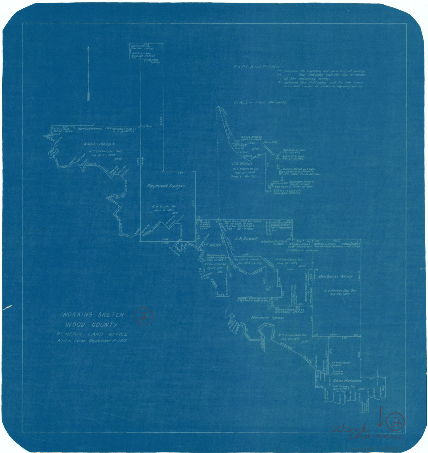
Wood County Working Sketch 2
-
Map/Doc
62002
-
Collection
General Map Collection
-
Object Dates
9/11/1913 (Creation Date)
-
Counties
Wood
-
Subjects
Surveying Working Sketch
-
Height x Width
17.8 x 16.8 inches
45.2 x 42.7 cm
Part of: General Map Collection
Matagorda Light to Aransas Pass

Print $20.00
- Digital $50.00
Matagorda Light to Aransas Pass
1962
Size 35.7 x 44.8 inches
Map/Doc 73397
Calhoun County Sketch File 17

Print $4.00
- Digital $50.00
Calhoun County Sketch File 17
Size 5.1 x 8.4 inches
Map/Doc 35984
Pecos County Rolled Sketch 146C

Print $20.00
- Digital $50.00
Pecos County Rolled Sketch 146C
Size 43.1 x 39.5 inches
Map/Doc 9743
Map of the British Isles to illustrate Olney's school geography (Inset: Shetland Isles)

Print $20.00
- Digital $50.00
Map of the British Isles to illustrate Olney's school geography (Inset: Shetland Isles)
1844
Size 12.1 x 9.5 inches
Map/Doc 93547
Kleberg County Rolled Sketch 10-11

Print $20.00
- Digital $50.00
Kleberg County Rolled Sketch 10-11
1951
Size 38.2 x 33.8 inches
Map/Doc 9374
Dépt. des Basses-Alpes

Print $20.00
- Digital $50.00
Dépt. des Basses-Alpes
Size 13.9 x 20.3 inches
Map/Doc 94450
Comanche County Sketch File 11

Print $4.00
- Digital $50.00
Comanche County Sketch File 11
Size 8.6 x 15.3 inches
Map/Doc 19072
Cottle County Rolled Sketch 15

Print $20.00
- Digital $50.00
Cottle County Rolled Sketch 15
2004
Size 37.2 x 37.2 inches
Map/Doc 82849
Hardin County Boundary File 40

Print $14.00
- Digital $50.00
Hardin County Boundary File 40
Size 9.0 x 3.5 inches
Map/Doc 54409
McCulloch County Working Sketch 4

Print $20.00
- Digital $50.00
McCulloch County Working Sketch 4
1956
Size 25.3 x 22.8 inches
Map/Doc 70679
Leon County Rolled Sketch 25

Print $20.00
- Digital $50.00
Leon County Rolled Sketch 25
Size 47.3 x 36.2 inches
Map/Doc 9434

You may also like
[Sketch showing the Northwest part of Hale County and the Northeast part of Lamb County]
![93205, [Sketch showing the Northwest part of Hale County and the Northeast part of Lamb County], Twichell Survey Records](https://historictexasmaps.com/wmedia_w700/maps/93205-1.tif.jpg)
Print $40.00
- Digital $50.00
[Sketch showing the Northwest part of Hale County and the Northeast part of Lamb County]
Size 55.3 x 56.7 inches
Map/Doc 93205
[Galveston, Harrisburg & San Antonio Railroad from Cuero to Stockdale]
![64186, [Galveston, Harrisburg & San Antonio Railroad from Cuero to Stockdale], General Map Collection](https://historictexasmaps.com/wmedia_w700/maps/64186.tif.jpg)
Print $20.00
- Digital $50.00
[Galveston, Harrisburg & San Antonio Railroad from Cuero to Stockdale]
1906
Size 13.4 x 33.1 inches
Map/Doc 64186
United States - Gulf Coast - From Latitude 26° 33' to the Rio Grande Texas

Print $20.00
- Digital $50.00
United States - Gulf Coast - From Latitude 26° 33' to the Rio Grande Texas
1918
Size 27.6 x 18.1 inches
Map/Doc 72849
Baylor County Sketch File A

Print $6.00
- Digital $50.00
Baylor County Sketch File A
Size 7.5 x 9.2 inches
Map/Doc 14072
Sheet 4 copied from Champlin Book 5 [Strip Map showing T. & P. connecting lines]
![93181, Sheet 4 copied from Champlin Book 5 [Strip Map showing T. & P. connecting lines], Twichell Survey Records](https://historictexasmaps.com/wmedia_w700/maps/93181-1.tif.jpg)
Print $40.00
- Digital $50.00
Sheet 4 copied from Champlin Book 5 [Strip Map showing T. & P. connecting lines]
1909
Size 8.0 x 75.7 inches
Map/Doc 93181

Hunt County Boundary File 10b

Print $4.00
- Digital $50.00
Hunt County Boundary File 10b
Size 11.3 x 8.9 inches
Map/Doc 55264
Working Sketch Cochran and Yoakum Co's.

Print $40.00
- Digital $50.00
Working Sketch Cochran and Yoakum Co's.
1919
Size 54.5 x 16.4 inches
Map/Doc 89676
[Surveys in Bexar County]
![93, [Surveys in Bexar County], General Map Collection](https://historictexasmaps.com/wmedia_w700/maps/93.tif.jpg)
Print $2.00
- Digital $50.00
[Surveys in Bexar County]
Size 11.3 x 6.9 inches
Map/Doc 93
Adrian Heights Addition to Adrian, Located in Section 16, Block K11, Oldham County, Texas

Print $20.00
- Digital $50.00
Adrian Heights Addition to Adrian, Located in Section 16, Block K11, Oldham County, Texas
Size 23.8 x 11.6 inches
Map/Doc 91437
Oldham County Working Sketch 4

Print $20.00
- Digital $50.00
Oldham County Working Sketch 4
1948
Size 28.8 x 26.2 inches
Map/Doc 71326
Duval County Sketch File 49

Print $6.00
- Digital $50.00
Duval County Sketch File 49
Size 14.5 x 9.1 inches
Map/Doc 21409