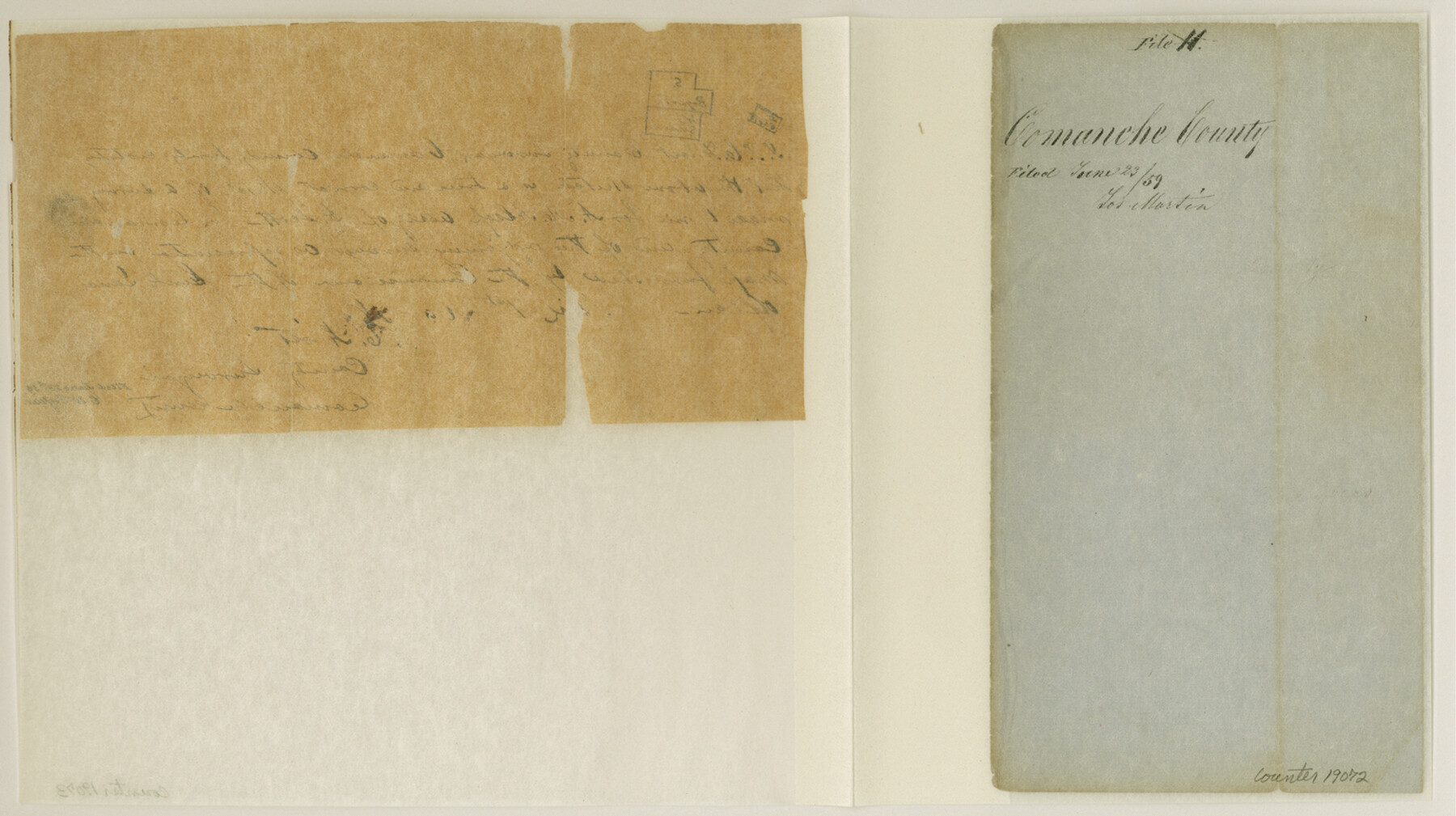
Comanche County Sketch File 11
[Sketch of surveys around D. Scott survey]
-
Map/Doc
19072
-
Collection
General Map Collection
-
Object Dates
1859/6/23 (File Date)
-
People and Organizations
T.C. Frost (Surveyor/Engineer)
-
Counties
Comanche
-
Subjects
Surveying Sketch File
-
Height x Width
8.6 x 15.3 inches
21.8 x 38.9 cm
-
Medium
paper, manuscript
Part of: General Map Collection
Travis County Sketch File 67

Print $10.00
- Digital $50.00
Travis County Sketch File 67
1951
Size 14.3 x 9.0 inches
Map/Doc 38446
Supreme Court of the United States, October Term, 1930, No.2, Original - The State of New Mexico, Complainant vs. The State of Texas, Defendant

Print $138.00
- Digital $50.00
Supreme Court of the United States, October Term, 1930, No.2, Original - The State of New Mexico, Complainant vs. The State of Texas, Defendant
Size 9.2 x 6.0 inches
Map/Doc 95287
Cochran County Sketch File A

Print $20.00
- Digital $50.00
Cochran County Sketch File A
1923
Size 21.2 x 12.5 inches
Map/Doc 11102
Reagan County Working Sketch 14a

Print $20.00
- Digital $50.00
Reagan County Working Sketch 14a
1949
Size 25.9 x 15.2 inches
Map/Doc 71854
Zapata County Rolled Sketch 10A

Print $20.00
- Digital $50.00
Zapata County Rolled Sketch 10A
1912
Size 26.3 x 26.5 inches
Map/Doc 8312
Polk County Sketch File 27

Print $8.00
- Digital $50.00
Polk County Sketch File 27
1891
Size 14.1 x 8.7 inches
Map/Doc 34194
Orange County Working Sketch 23

Print $20.00
- Digital $50.00
Orange County Working Sketch 23
1940
Size 12.4 x 15.7 inches
Map/Doc 71355
Flight Mission No. DCL-5C, Frame 78, Kenedy County

Print $20.00
- Digital $50.00
Flight Mission No. DCL-5C, Frame 78, Kenedy County
1943
Size 18.7 x 22.5 inches
Map/Doc 85861
El Paso County Sketch File 36

Print $2.00
- Digital $50.00
El Paso County Sketch File 36
1984
Size 11.6 x 9.0 inches
Map/Doc 24123
Lindner Subdivision out of the Baker Subdivision of the Cucharia Tract being Lots 11 and 14, San Salvador del Tule Grant Hidalgo Co. Texas and also showing the Ehlert-Krausse Sub. and the Townsite of Alsonia

Print $20.00
- Digital $50.00
Lindner Subdivision out of the Baker Subdivision of the Cucharia Tract being Lots 11 and 14, San Salvador del Tule Grant Hidalgo Co. Texas and also showing the Ehlert-Krausse Sub. and the Townsite of Alsonia
1927
Size 22.3 x 35.3 inches
Map/Doc 77093
Chambers County Sketch File 11

Print $40.00
- Digital $50.00
Chambers County Sketch File 11
Size 13.7 x 12.6 inches
Map/Doc 17554
Presidio County Working Sketch 16

Print $20.00
- Digital $50.00
Presidio County Working Sketch 16
1942
Size 22.0 x 41.4 inches
Map/Doc 71692
You may also like
Zavala County

Print $40.00
- Digital $50.00
Zavala County
1915
Size 39.6 x 48.3 inches
Map/Doc 63147
San Antonio Bay and Vicinity in Aransas and Calhoun Counties, showing Subdivsion for Mineral Development

Print $40.00
- Digital $50.00
San Antonio Bay and Vicinity in Aransas and Calhoun Counties, showing Subdivsion for Mineral Development
1948
Size 37.0 x 74.5 inches
Map/Doc 1912
West Part of Liberty Co.

Print $20.00
- Digital $50.00
West Part of Liberty Co.
1977
Size 43.5 x 32.9 inches
Map/Doc 77353
Presidio County Rolled Sketch 42

Print $20.00
- Digital $50.00
Presidio County Rolled Sketch 42
1907
Size 31.7 x 19.0 inches
Map/Doc 7339
Lake Worth Boundary

Print $20.00
- Digital $50.00
Lake Worth Boundary
Size 19.5 x 33.4 inches
Map/Doc 62212
Current Miscellaneous File 54

Print $24.00
- Digital $50.00
Current Miscellaneous File 54
1955
Size 11.2 x 8.7 inches
Map/Doc 74042
Harris County Sketch File 3

Print $4.00
- Digital $50.00
Harris County Sketch File 3
Size 7.0 x 6.2 inches
Map/Doc 25334
Sherman County Sketch File 5

Print $2.00
- Digital $50.00
Sherman County Sketch File 5
1993
Size 14.6 x 9.0 inches
Map/Doc 36723
Greater Fort Worth City

Print $20.00
- Digital $50.00
Greater Fort Worth City
1919
Size 31.2 x 21.5 inches
Map/Doc 93423
Harris County Working Sketch 62

Print $20.00
- Digital $50.00
Harris County Working Sketch 62
1954
Size 41.1 x 37.4 inches
Map/Doc 65954
Edwards County Rolled Sketch 16

Print $20.00
- Digital $50.00
Edwards County Rolled Sketch 16
1944
Size 29.2 x 21.1 inches
Map/Doc 5804
