Maps of Gulf Intracoastal Waterway, Texas - Sabine River to the Rio Grande and connecting waterways including ship channels
-
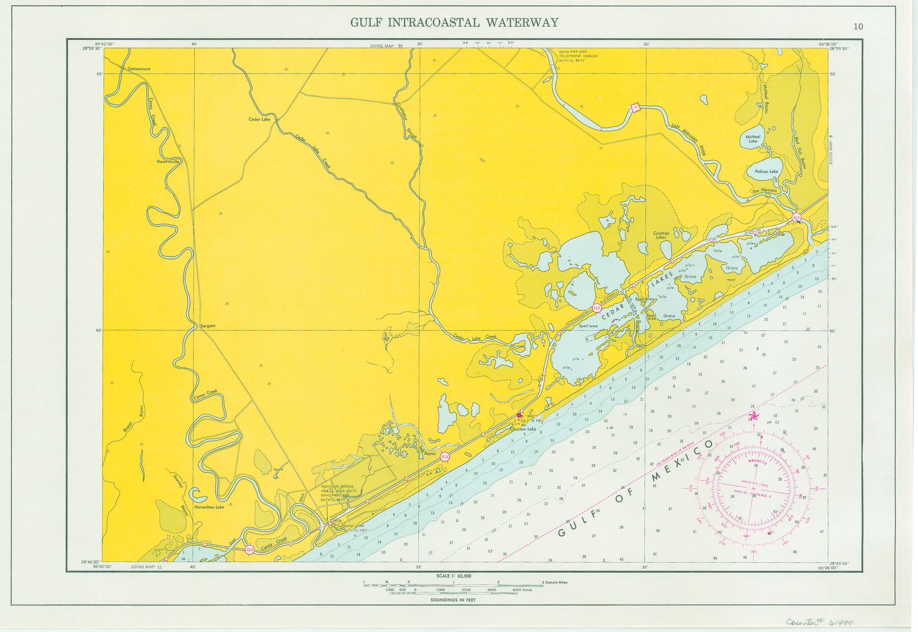
Map/Doc
61997
-
Collection
General Map Collection
-
Object Dates
1966 (Creation Date)
-
Subjects
Intracoastal Waterways
-
Height x Width
14.2 x 20.7 inches
36.1 x 52.6 cm
-
Comments
Incomplete copy of 61915-61980. Missing page 31 and two copies of 53.
Part of: General Map Collection
Austin County Boundary File 4

Print $10.00
- Digital $50.00
Austin County Boundary File 4
Size 14.1 x 8.6 inches
Map/Doc 50244
Gregg County Working Sketch 25

Print $20.00
- Digital $50.00
Gregg County Working Sketch 25
2006
Size 22.6 x 34.0 inches
Map/Doc 83095
Jefferson County Working Sketch 37

Print $40.00
- Digital $50.00
Jefferson County Working Sketch 37
1982
Size 49.9 x 36.6 inches
Map/Doc 66581
Garza County Working Sketch 4

Print $20.00
- Digital $50.00
Garza County Working Sketch 4
1916
Size 19.5 x 23.1 inches
Map/Doc 63151
Hardin County Working Sketch 17

Print $20.00
- Digital $50.00
Hardin County Working Sketch 17
1942
Size 18.4 x 12.6 inches
Map/Doc 63415
Navarro County

Print $40.00
- Digital $50.00
Navarro County
1924
Size 42.5 x 49.0 inches
Map/Doc 95599
Hartley County Boundary File 5

Print $6.00
- Digital $50.00
Hartley County Boundary File 5
Size 12.7 x 8.2 inches
Map/Doc 54515
Crane County Working Sketch 27

Print $40.00
- Digital $50.00
Crane County Working Sketch 27
1972
Size 71.9 x 47.1 inches
Map/Doc 68304
United States - Gulf Coast Texas - Southern part of Laguna Madre

Print $20.00
- Digital $50.00
United States - Gulf Coast Texas - Southern part of Laguna Madre
1941
Size 26.8 x 18.3 inches
Map/Doc 72940
Tarrant County

Print $20.00
- Digital $50.00
Tarrant County
1873
Size 19.1 x 17.5 inches
Map/Doc 4065
Shackelford County Working Sketch 6

Print $20.00
- Digital $50.00
Shackelford County Working Sketch 6
1963
Size 26.1 x 28.9 inches
Map/Doc 63846
[Surveys along the Red River]
![5, [Surveys along the Red River], General Map Collection](https://historictexasmaps.com/wmedia_w700/maps/5.tif.jpg)
Print $2.00
- Digital $50.00
[Surveys along the Red River]
Size 14.1 x 5.6 inches
Map/Doc 5
You may also like
Flight Mission No. DAG-24K, Frame 140, Matagorda County

Print $20.00
- Digital $50.00
Flight Mission No. DAG-24K, Frame 140, Matagorda County
1953
Size 17.0 x 15.6 inches
Map/Doc 86558
Galveston County NRC Article 33.136 Sketch 47

Print $24.00
- Digital $50.00
Galveston County NRC Article 33.136 Sketch 47
2006
Size 18.3 x 24.4 inches
Map/Doc 87504
Map of Grayson County

Print $20.00
- Digital $50.00
Map of Grayson County
1871
Size 19.5 x 17.8 inches
Map/Doc 1088
Lavaca County Working Sketch 20

Print $20.00
- Digital $50.00
Lavaca County Working Sketch 20
1980
Size 19.2 x 26.0 inches
Map/Doc 70373
Bexar County Sketch File 50

Print $40.00
- Digital $50.00
Bexar County Sketch File 50
1874
Size 22.5 x 18.2 inches
Map/Doc 10926
Rio Grande, Fernando Sheet

Print $4.00
- Digital $50.00
Rio Grande, Fernando Sheet
1935
Size 20.8 x 25.8 inches
Map/Doc 65114
Hudspeth County Working Sketch 5

Print $20.00
- Digital $50.00
Hudspeth County Working Sketch 5
1921
Size 27.8 x 38.8 inches
Map/Doc 66286
[Strip Map showing T. & P. connecting lines]
![93176, [Strip Map showing T. & P. connecting lines], Twichell Survey Records](https://historictexasmaps.com/wmedia_w700/maps/93176-1.tif.jpg)
Print $40.00
- Digital $50.00
[Strip Map showing T. & P. connecting lines]
Size 7.7 x 93.6 inches
Map/Doc 93176
Duval County Sketch File 9

Print $4.00
- Digital $50.00
Duval County Sketch File 9
1875
Size 10.9 x 8.7 inches
Map/Doc 21304
A New Map of Texas with the Contiguous American & Mexican States

Print $20.00
- Digital $50.00
A New Map of Texas with the Contiguous American & Mexican States
1839
Size 13.5 x 16.1 inches
Map/Doc 93941
Sutton County Rolled Sketch 45

Print $20.00
- Digital $50.00
Sutton County Rolled Sketch 45
Size 39.1 x 47.2 inches
Map/Doc 9974
Clay County Rolled Sketch 2

Print $20.00
- Digital $50.00
Clay County Rolled Sketch 2
1940
Size 35.9 x 26.8 inches
Map/Doc 5485