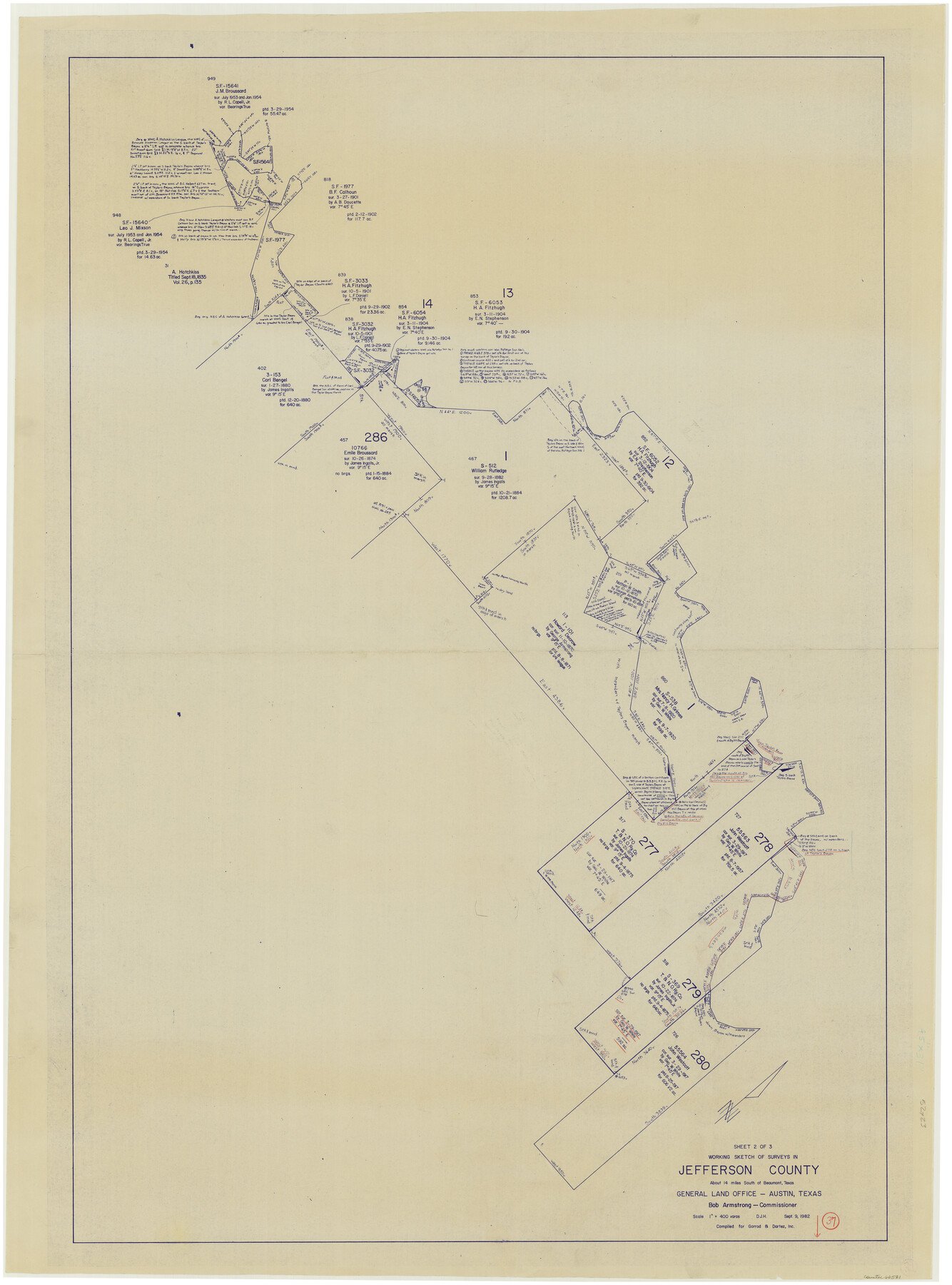
Jefferson County Working Sketch 37
-
Map/Doc
66581
-
Collection
General Map Collection
-
Object Dates
9/9/1982 (Creation Date)
-
People and Organizations
Douglas Howard (Draftsman)
-
Counties
Jefferson
-
Subjects
Surveying Working Sketch
-
Height x Width
49.9 x 36.6 inches
126.8 x 93.0 cm
-
Scale
1" = 400 varas
Part of: General Map Collection
Brown County Sketch File 10a

Print $6.00
- Digital $50.00
Brown County Sketch File 10a
Size 11.2 x 9.8 inches
Map/Doc 16595
Texas Intracoastal Waterway - Port O'Connor to San Antonio Bay, Including Pass Cavallo

Print $20.00
- Digital $50.00
Texas Intracoastal Waterway - Port O'Connor to San Antonio Bay, Including Pass Cavallo
1961
Size 26.4 x 38.8 inches
Map/Doc 73374
Moore County Rolled Sketch 8

Print $20.00
- Digital $50.00
Moore County Rolled Sketch 8
1912
Size 33.7 x 35.2 inches
Map/Doc 9548
Red River County Sketch File A

Print $40.00
- Digital $50.00
Red River County Sketch File A
1900
Size 20.1 x 23.8 inches
Map/Doc 12236
Flight Mission No. BRA-17M, Frame 12, Jefferson County

Print $20.00
- Digital $50.00
Flight Mission No. BRA-17M, Frame 12, Jefferson County
1953
Size 18.5 x 22.3 inches
Map/Doc 85793
Houston County Working Sketch 35, revised

Print $20.00
- Digital $50.00
Houston County Working Sketch 35, revised
1999
Size 27.8 x 31.6 inches
Map/Doc 66266
Crockett County Working Sketch Graphic Index - northwest part - sheet B

Print $20.00
- Digital $50.00
Crockett County Working Sketch Graphic Index - northwest part - sheet B
1983
Size 36.2 x 47.7 inches
Map/Doc 76510
Montgomery County Working Sketch 51

Print $20.00
- Digital $50.00
Montgomery County Working Sketch 51
1960
Size 38.7 x 40.4 inches
Map/Doc 71158
Stonewall County Working Sketch 24

Print $20.00
- Digital $50.00
Stonewall County Working Sketch 24
1973
Size 27.1 x 30.9 inches
Map/Doc 62331

Cass County Working Sketch 23

Print $40.00
- Digital $50.00
Cass County Working Sketch 23
1966
Size 56.8 x 37.1 inches
Map/Doc 67926
Intracoastal Waterway in Texas - Corpus Christi to Point Isabel including Arroyo Colorado to Mo. Pac. R.R. Bridge Near Harlingen

Print $20.00
- Digital $50.00
Intracoastal Waterway in Texas - Corpus Christi to Point Isabel including Arroyo Colorado to Mo. Pac. R.R. Bridge Near Harlingen
1934
Size 22.0 x 32.7 inches
Map/Doc 61884
You may also like
Map of the City of Corsicana (Navarro County) Texas

Print $40.00
- Digital $50.00
Map of the City of Corsicana (Navarro County) Texas
1963
Size 43.2 x 92.3 inches
Map/Doc 93673
[Area south of Runnels County School Land]
![93168, [Area south of Runnels County School Land], Twichell Survey Records](https://historictexasmaps.com/wmedia_w700/maps/93168-1.tif.jpg)
Print $40.00
- Digital $50.00
[Area south of Runnels County School Land]
Size 87.7 x 42.9 inches
Map/Doc 93168
Hansford County

Print $20.00
- Digital $50.00
Hansford County
1902
Size 38.8 x 34.9 inches
Map/Doc 4696
Val Verde County Sketch File XX

Print $20.00
- Digital $50.00
Val Verde County Sketch File XX
Size 14.5 x 16.7 inches
Map/Doc 12546
Presidio County Rolled Sketch 113

Print $20.00
- Digital $50.00
Presidio County Rolled Sketch 113
1978
Size 22.2 x 27.8 inches
Map/Doc 7389
Right of Way and Track Map, The Missouri, Kansas and Texas Ry. of Texas operated by the Missouri, Kansas and Texas Ry. of Texas, Henrietta Division

Print $40.00
- Digital $50.00
Right of Way and Track Map, The Missouri, Kansas and Texas Ry. of Texas operated by the Missouri, Kansas and Texas Ry. of Texas, Henrietta Division
1918
Size 25.2 x 56.6 inches
Map/Doc 64067
Hudspeth County Rolled Sketch 18

Print $40.00
- Digital $50.00
Hudspeth County Rolled Sketch 18
1886
Size 15.7 x 105.0 inches
Map/Doc 9204
Brewster County Rolled Sketch 114

Print $20.00
- Digital $50.00
Brewster County Rolled Sketch 114
1964
Size 12.0 x 17.5 inches
Map/Doc 5291
Montgomery County Sketch File 13

Print $40.00
- Digital $50.00
Montgomery County Sketch File 13
1900
Size 17.8 x 14.8 inches
Map/Doc 31803
Austin County Sketch File 7

Print $40.00
- Digital $50.00
Austin County Sketch File 7
1894
Size 18.8 x 15.7 inches
Map/Doc 10872
San Antonio del Encinal as Corrected

Print $20.00
- Digital $50.00
San Antonio del Encinal as Corrected
1916
Size 31.2 x 31.5 inches
Map/Doc 10757
Ector County Rolled Sketch RE

Print $20.00
- Digital $50.00
Ector County Rolled Sketch RE
1928
Size 41.2 x 38.7 inches
Map/Doc 8833