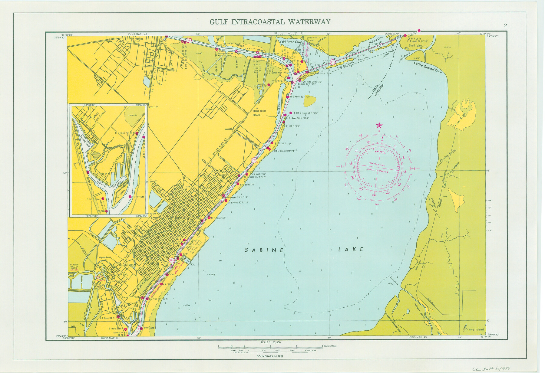
Maps of Gulf Intracoastal Waterway, Texas - Sabine River to the Rio Grande and connecting waterways including ship channels
-
Map/Doc
61989
-
Collection
General Map Collection
-
Object Dates
1966 (Creation Date)
-
Subjects
Intracoastal Waterways
-
Height x Width
14.5 x 21.2 inches
36.8 x 53.8 cm
-
Comments
Incomplete copy of 61915-61980. Missing page 31 and two copies of 53.
Part of: General Map Collection
McLennan County Sketch File 35

Print $10.00
- Digital $50.00
McLennan County Sketch File 35
Size 13.1 x 8.1 inches
Map/Doc 31310
Val Verde County Working Sketch 2

Print $20.00
- Digital $50.00
Val Verde County Working Sketch 2
Size 27.9 x 23.8 inches
Map/Doc 72137
Johnson County Working Sketch 25

Print $20.00
- Digital $50.00
Johnson County Working Sketch 25
1998
Size 13.3 x 25.4 inches
Map/Doc 66638
Colorado County Working Sketch 6

Print $20.00
- Digital $50.00
Colorado County Working Sketch 6
1921
Size 15.4 x 14.3 inches
Map/Doc 68106
Cottle County Boundary File 1a

Print $40.00
- Digital $50.00
Cottle County Boundary File 1a
Size 34.5 x 17.3 inches
Map/Doc 51955
Map of Fisher and Miller's Colony made from the records in the Office of the District Surveyor of Bexar comprising also all the recent surveys

Print $20.00
- Digital $50.00
Map of Fisher and Miller's Colony made from the records in the Office of the District Surveyor of Bexar comprising also all the recent surveys
1855
Size 23.7 x 35.2 inches
Map/Doc 1971
Coast Chart No. 210 Aransas Pass and Corpus Christi Bay with the coast to latitude 27° 12' Texas

Print $20.00
- Digital $50.00
Coast Chart No. 210 Aransas Pass and Corpus Christi Bay with the coast to latitude 27° 12' Texas
1913
Size 27.9 x 18.3 inches
Map/Doc 72805
Runnels County

Print $20.00
- Digital $50.00
Runnels County
1948
Size 46.5 x 36.4 inches
Map/Doc 77411
Midland County Rolled Sketch 6

Print $20.00
- Digital $50.00
Midland County Rolled Sketch 6
1951
Size 39.8 x 28.6 inches
Map/Doc 6764

Garza County Sketch File H1

Print $24.00
- Digital $50.00
Garza County Sketch File H1
Size 7.6 x 8.8 inches
Map/Doc 24030
Calhoun County Rolled Sketch 3

Print $20.00
- Digital $50.00
Calhoun County Rolled Sketch 3
Size 28.0 x 21.9 inches
Map/Doc 5361
You may also like
Flight Mission No. DIX-7P, Frame 86, Aransas County

Print $20.00
- Digital $50.00
Flight Mission No. DIX-7P, Frame 86, Aransas County
1956
Size 18.7 x 22.5 inches
Map/Doc 83880
Flight Mission No. BRE-1P, Frame 31, Nueces County

Print $20.00
- Digital $50.00
Flight Mission No. BRE-1P, Frame 31, Nueces County
1956
Size 18.0 x 21.6 inches
Map/Doc 86627
Shackelford County Rolled Sketch 6

Print $20.00
- Digital $50.00
Shackelford County Rolled Sketch 6
1998
Size 24.1 x 35.9 inches
Map/Doc 7774
Lamb-Bailey County Line

Print $40.00
- Digital $50.00
Lamb-Bailey County Line
Size 15.9 x 53.3 inches
Map/Doc 89671
Orange County Working Sketch 38

Print $20.00
- Digital $50.00
Orange County Working Sketch 38
1964
Size 25.4 x 27.7 inches
Map/Doc 71370
Wilson County Rolled Sketch 2

Print $20.00
- Digital $50.00
Wilson County Rolled Sketch 2
1941
Size 30.4 x 26.1 inches
Map/Doc 8368
Trinity River, Crandell Sheet/East Fork of Trinity River

Print $20.00
- Digital $50.00
Trinity River, Crandell Sheet/East Fork of Trinity River
1921
Size 42.0 x 35.5 inches
Map/Doc 65188
Flight Mission No. BQR-13K, Frame 163, Brazoria County

Print $20.00
- Digital $50.00
Flight Mission No. BQR-13K, Frame 163, Brazoria County
1952
Size 18.7 x 22.4 inches
Map/Doc 84088
Jackson County Sketch File 6

Print $4.00
- Digital $50.00
Jackson County Sketch File 6
1897
Size 13.1 x 8.9 inches
Map/Doc 27632
Cass County Rolled Sketch ESR2

Print $20.00
- Digital $50.00
Cass County Rolled Sketch ESR2
1936
Size 43.8 x 40.1 inches
Map/Doc 8587
Pecos County Sketch File 94

Print $20.00
- Digital $50.00
Pecos County Sketch File 94
1956
Size 25.8 x 17.3 inches
Map/Doc 12185
Zapata County Boundary File 2

Print $12.00
- Digital $50.00
Zapata County Boundary File 2
Size 14.4 x 8.8 inches
Map/Doc 60228