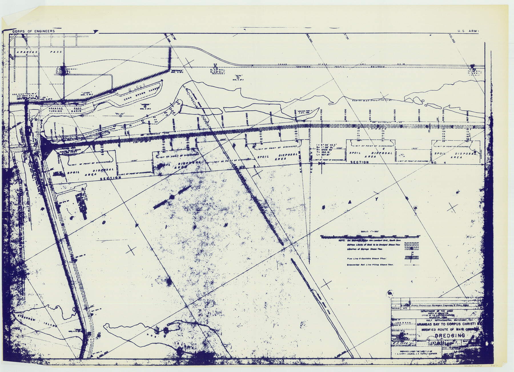
Gulf Intracoastal Waterway, Tex. - Aransas Bay to Corpus Christi Bay - Modified Route of Main Channel/Dredging
-
Map/Doc
61895
-
Collection
General Map Collection
-
Object Dates
1958 (Creation Date)
-
Subjects
Intracoastal Waterways
-
Height x Width
31.0 x 42.8 inches
78.7 x 108.7 cm
Part of: General Map Collection
Freestone County Rolled Sketch 12A

Print $40.00
- Digital $50.00
Freestone County Rolled Sketch 12A
1987
Size 35.2 x 48.6 inches
Map/Doc 8897
Harrison County Working Sketch 17

Print $20.00
- Digital $50.00
Harrison County Working Sketch 17
1969
Size 38.1 x 38.0 inches
Map/Doc 66037

Kinney County Working Sketch 29

Print $20.00
- Digital $50.00
Kinney County Working Sketch 29
1959
Size 37.8 x 33.8 inches
Map/Doc 70211
Webb County Working Sketch 97

Print $20.00
- Digital $50.00
Webb County Working Sketch 97
1994
Size 27.1 x 30.6 inches
Map/Doc 72464
Gonzales County Working Sketch 4a

Print $20.00
- Digital $50.00
Gonzales County Working Sketch 4a
1979
Size 30.9 x 32.2 inches
Map/Doc 63219
[Plat of Boundary Line between Comal and Hays Counties]
![65328, [Plat of Boundary Line between Comal and Hays Counties], General Map Collection](https://historictexasmaps.com/wmedia_w700/pdf_converted_jpg/qi_pdf_thumbnail_19768.jpg)
Print $20.00
- Digital $50.00
[Plat of Boundary Line between Comal and Hays Counties]
1947
Size 11.4 x 17.7 inches
Map/Doc 65328
Trinity River, Terrell Sheet/Kings Creek

Print $20.00
- Digital $50.00
Trinity River, Terrell Sheet/Kings Creek
1930
Size 42.3 x 19.7 inches
Map/Doc 65229
Controlled Mosaic by Jack Amman Photogrammetric Engineers, Inc - Sheet 20

Print $20.00
- Digital $50.00
Controlled Mosaic by Jack Amman Photogrammetric Engineers, Inc - Sheet 20
1954
Size 20.0 x 24.0 inches
Map/Doc 83466
Texas 1973 Official Highway Travel Map

Texas 1973 Official Highway Travel Map
Size 28.1 x 36.3 inches
Map/Doc 94406
Scurry County Rolled Sketch 3

Print $40.00
- Digital $50.00
Scurry County Rolled Sketch 3
Size 50.2 x 46.7 inches
Map/Doc 9912
Callahan County Rolled Sketch 26

Print $20.00
- Digital $50.00
Callahan County Rolled Sketch 26
2010
Size 30.6 x 24.6 inches
Map/Doc 93453
You may also like
English Field Notes of the Spanish Archives - Book A-B

English Field Notes of the Spanish Archives - Book A-B
1835
Map/Doc 96540
Webb County Rolled Sketch 24

Print $20.00
- Digital $50.00
Webb County Rolled Sketch 24
1930
Size 33.0 x 23.0 inches
Map/Doc 8184
Glasscock County Rolled Sketch 18

Print $20.00
- Digital $50.00
Glasscock County Rolled Sketch 18
Size 24.2 x 24.0 inches
Map/Doc 96576
Hardin County Sketch File 59

Print $6.00
- Digital $50.00
Hardin County Sketch File 59
Size 16.8 x 11.6 inches
Map/Doc 25233
Map of West Part of Galveston County, Texas

Print $20.00
- Digital $50.00
Map of West Part of Galveston County, Texas
1880
Size 28.6 x 21.9 inches
Map/Doc 716
Marion County Sketch File 10

Print $4.00
- Digital $50.00
Marion County Sketch File 10
1867
Size 7.9 x 12.4 inches
Map/Doc 30579
[Surveys along the Polk and Tyler County border]
![333, [Surveys along the Polk and Tyler County border], General Map Collection](https://historictexasmaps.com/wmedia_w700/maps/333.tif.jpg)
Print $2.00
- Digital $50.00
[Surveys along the Polk and Tyler County border]
Size 9.3 x 6.0 inches
Map/Doc 333
Brooks County Rolled Sketch 28

Print $20.00
- Digital $50.00
Brooks County Rolled Sketch 28
1947
Size 28.9 x 32.0 inches
Map/Doc 5346
South Part Brewster Co.

Print $40.00
- Digital $50.00
South Part Brewster Co.
1915
Size 36.0 x 51.2 inches
Map/Doc 66733
Photostat of section of hydrographic surveys H-5399, H-4822, H-470

Print $2.00
- Digital $50.00
Photostat of section of hydrographic surveys H-5399, H-4822, H-470
1933
Size 10.6 x 8.1 inches
Map/Doc 61159
[Gulf Colorado & Santa Fe from 2178+36.0 to 3901+06.2]
![64696, [Gulf Colorado & Santa Fe from 2178+36.0 to 3901+06.2], General Map Collection](https://historictexasmaps.com/wmedia_w700/maps/64696-1.tif.jpg)
Print $40.00
- Digital $50.00
[Gulf Colorado & Santa Fe from 2178+36.0 to 3901+06.2]
Size 32.0 x 120.5 inches
Map/Doc 64696
Dimmit County Rolled Sketch M

Print $20.00
- Digital $50.00
Dimmit County Rolled Sketch M
1936
Size 21.5 x 39.3 inches
Map/Doc 5727