[Map of Nacogdoches County]
[west half]
-
Map/Doc
93368
-
Collection
General Map Collection
-
Object Dates
[1840 ca.] (Creation Date)
-
People and Organizations
General Land Office (Publisher)
-
Counties
Nacogdoches
-
Subjects
County
-
Height x Width
79.3 x 38.0 inches
201.4 x 96.5 cm
-
Medium
digital image
-
Comments
Full-size west half of map 10784. For east half see map 93369.
Related maps
[Map of Nacogdoches County]
![10784, [Map of Nacogdoches County], General Map Collection](https://historictexasmaps.com/wmedia_w700/maps/10784-1.tif.jpg)
![10784, [Map of Nacogdoches County], General Map Collection](https://historictexasmaps.com/wmedia_w700/maps/10784-1.tif.jpg)
Print $40.00
- Digital $50.00
[Map of Nacogdoches County]
1840
Size 79.3 x 69.8 inches
Map/Doc 10784
[Map of Nacogdoches County]
![93369, [Map of Nacogdoches County], General Map Collection](https://historictexasmaps.com/wmedia_w700/maps/93369-1.tif.jpg)
![93369, [Map of Nacogdoches County], General Map Collection](https://historictexasmaps.com/wmedia_w700/maps/93369-1.tif.jpg)
Print $40.00
- Digital $50.00
[Map of Nacogdoches County]
1840
Size 79.3 x 36.8 inches
Map/Doc 93369
Part of: General Map Collection
Angelina County Working Sketch 58

Print $20.00
- Digital $50.00
Angelina County Working Sketch 58
2006
Size 24.1 x 36.0 inches
Map/Doc 83608
Bailey County Working Sketch Graphic Index


Print $20.00
- Digital $50.00
Bailey County Working Sketch Graphic Index
1956
Size 47.7 x 30.5 inches
Map/Doc 76460
Jeff Davis County Working Sketch 6

Print $20.00
- Digital $50.00
Jeff Davis County Working Sketch 6
1928
Size 43.5 x 39.8 inches
Map/Doc 66501
Denton County Sketch File 43


Print $20.00
- Digital $50.00
Denton County Sketch File 43
2006
Size 11.0 x 8.5 inches
Map/Doc 83610
[Surveys in Austin's Colony along the Navidad River; John P. Borden for Thos. H. Borden]
![77, [Surveys in Austin's Colony along the Navidad River; John P. Borden for Thos. H. Borden], General Map Collection](https://historictexasmaps.com/wmedia_w700/maps/77.tif.jpg)
![77, [Surveys in Austin's Colony along the Navidad River; John P. Borden for Thos. H. Borden], General Map Collection](https://historictexasmaps.com/wmedia_w700/maps/77.tif.jpg)
Print $20.00
- Digital $50.00
[Surveys in Austin's Colony along the Navidad River; John P. Borden for Thos. H. Borden]
1831
Size 20.6 x 9.3 inches
Map/Doc 77
Hudspeth County Working Sketch 34

Print $40.00
- Digital $50.00
Hudspeth County Working Sketch 34
1977
Size 63.1 x 37.3 inches
Map/Doc 66319
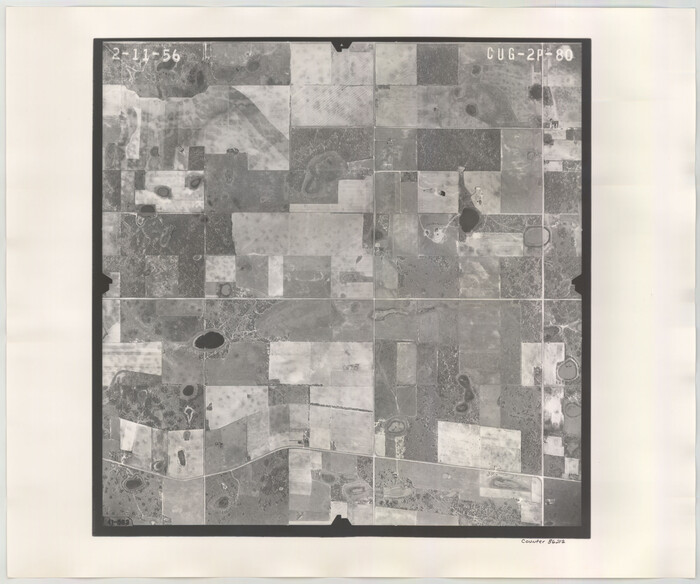
Flight Mission No. CUG-2P, Frame 80, Kleberg County

Print $20.00
- Digital $50.00
Flight Mission No. CUG-2P, Frame 80, Kleberg County
1956
Size 18.5 x 22.1 inches
Map/Doc 86212
Uvalde County Rolled Sketch 10


Print $20.00
- Digital $50.00
Uvalde County Rolled Sketch 10
Size 23.5 x 16.1 inches
Map/Doc 8095
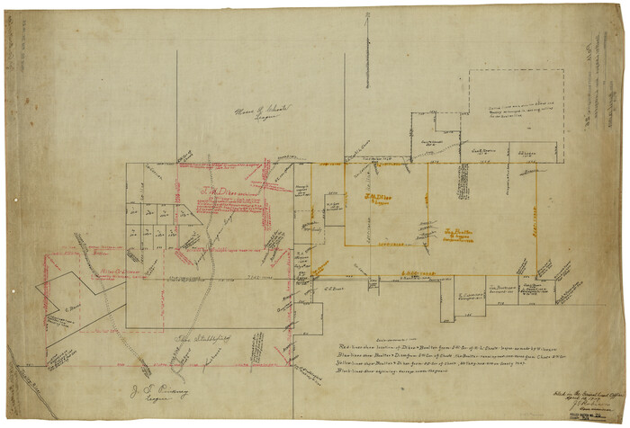
Polk County Rolled Sketch 26

Print $20.00
- Digital $50.00
Polk County Rolled Sketch 26
Size 26.3 x 38.0 inches
Map/Doc 7314
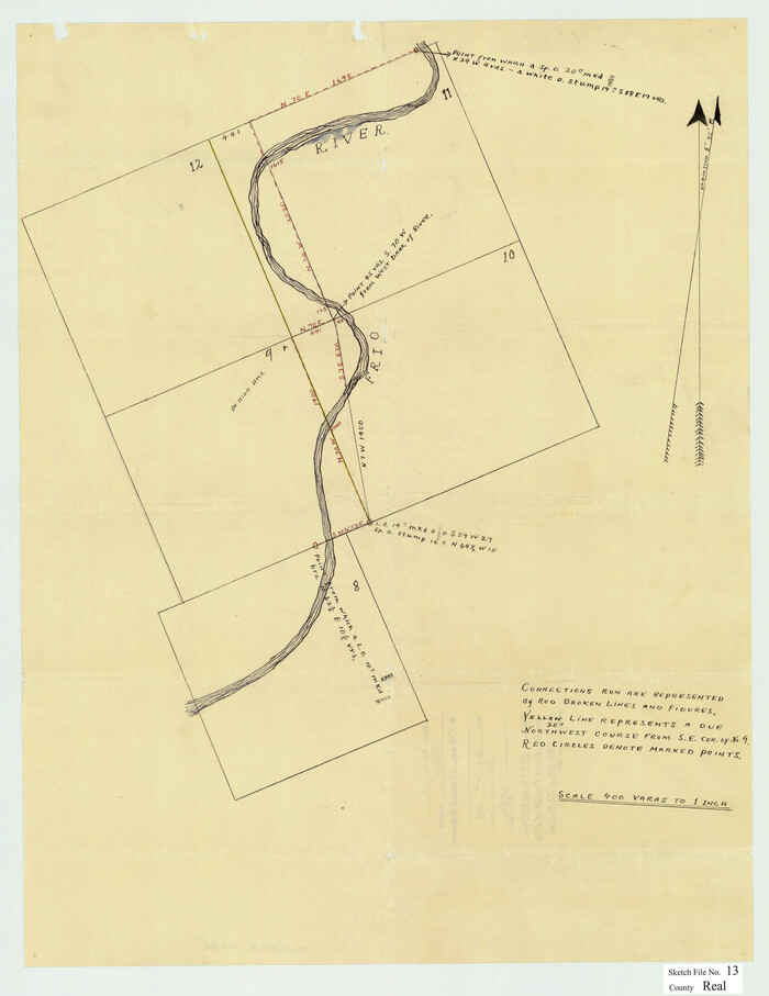
Real County Sketch File 13

Print $20.00
- Digital $50.00
Real County Sketch File 13
Size 23.2 x 17.9 inches
Map/Doc 12232
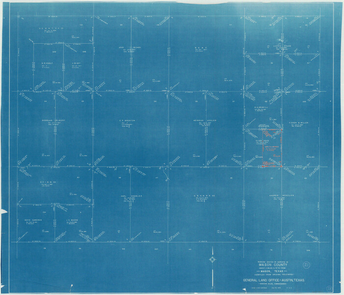
Mason County Working Sketch 21

Print $20.00
- Digital $50.00
Mason County Working Sketch 21
1945
Size 37.1 x 43.2 inches
Map/Doc 70857
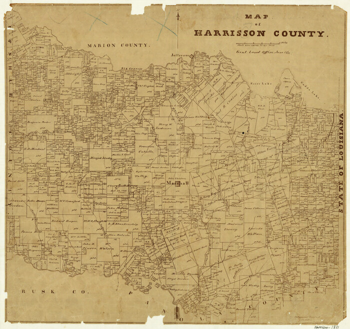
Map of Harrison County

Print $20.00
- Digital $50.00
Map of Harrison County
1871
Size 18.2 x 19.3 inches
Map/Doc 4561
You may also like
Val Verde County Rolled Sketch 3

Print $20.00
- Digital $50.00
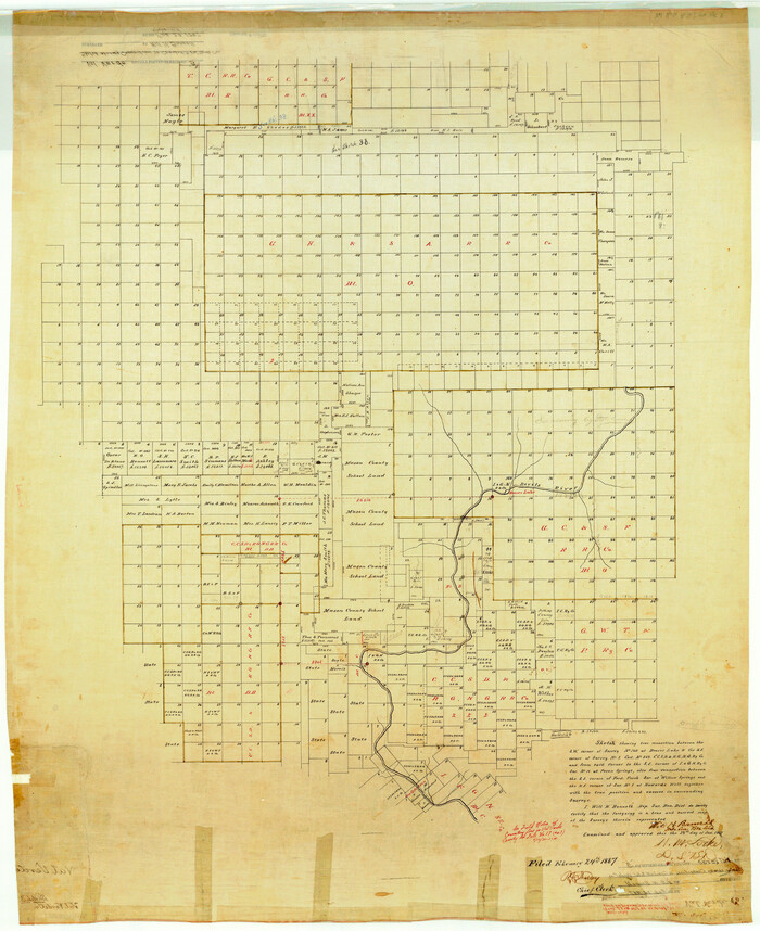
Val Verde County Rolled Sketch 3
1887
Size 44.8 x 36.5 inches
Map/Doc 10070
[B. S. & F. Block 9]
![91812, [B. S. & F. Block 9], Twichell Survey Records](https://historictexasmaps.com/wmedia_w700/maps/91812-1.tif.jpg)
![91812, [B. S. & F. Block 9], Twichell Survey Records](https://historictexasmaps.com/wmedia_w700/maps/91812-1.tif.jpg)
Print $20.00
- Digital $50.00
[B. S. & F. Block 9]
Size 38.0 x 18.6 inches
Map/Doc 91812
Colorado County Sketch File 33

Print $44.00
- Digital $50.00
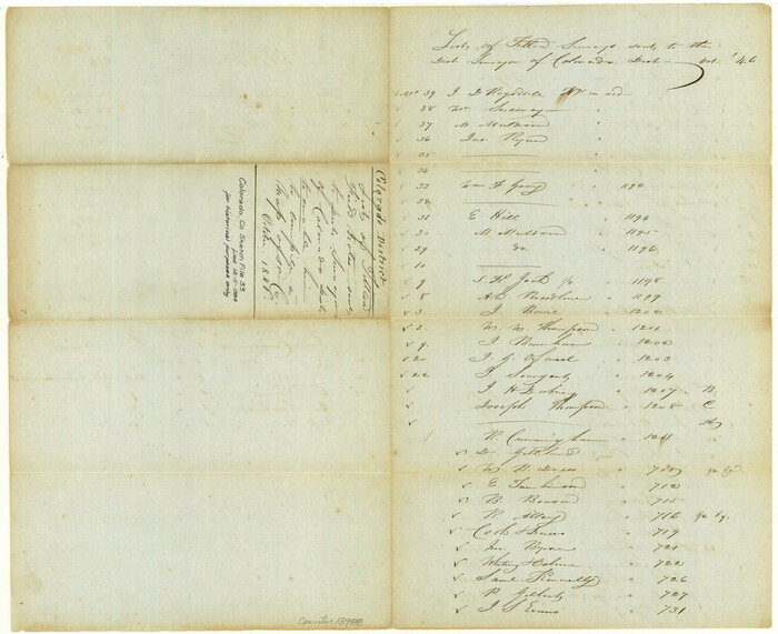
Colorado County Sketch File 33
1847
Size 13.2 x 16.2 inches
Map/Doc 18988
Chambers County Sketch File 10b

Print $4.00
- Digital $50.00
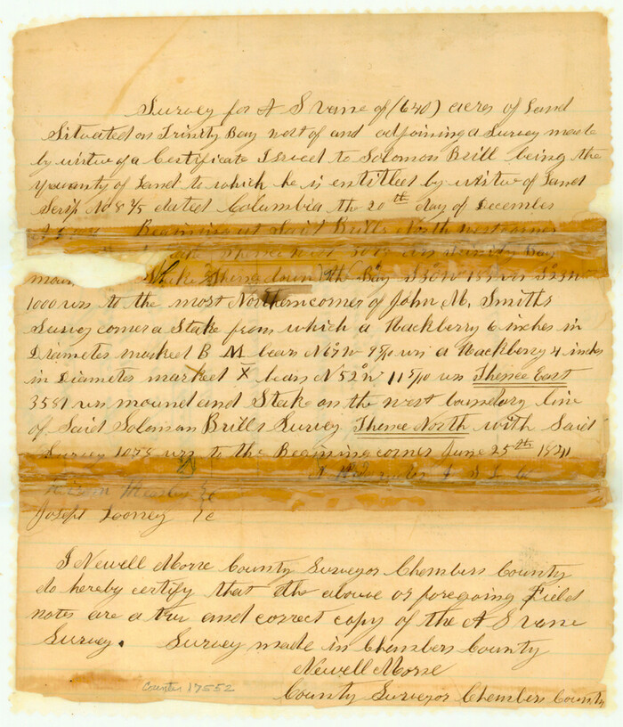
Chambers County Sketch File 10b
1841
Size 9.6 x 8.2 inches
Map/Doc 17552
Plat of South Side Addition on Section 37 Block 17, Wheeler County, Texas


Print $20.00
- Digital $50.00
Plat of South Side Addition on Section 37 Block 17, Wheeler County, Texas
Size 12.0 x 16.9 inches
Map/Doc 92103
[Leagues 615, 616, and vicinity]
![91004, [Leagues 615, 616, and vicinity], Twichell Survey Records](https://historictexasmaps.com/wmedia_w700/maps/91004-1.tif.jpg)
![91004, [Leagues 615, 616, and vicinity], Twichell Survey Records](https://historictexasmaps.com/wmedia_w700/maps/91004-1.tif.jpg)
Print $20.00
- Digital $50.00
[Leagues 615, 616, and vicinity]
Size 12.9 x 12.3 inches
Map/Doc 91004
Republic Counties. January 1, 1838
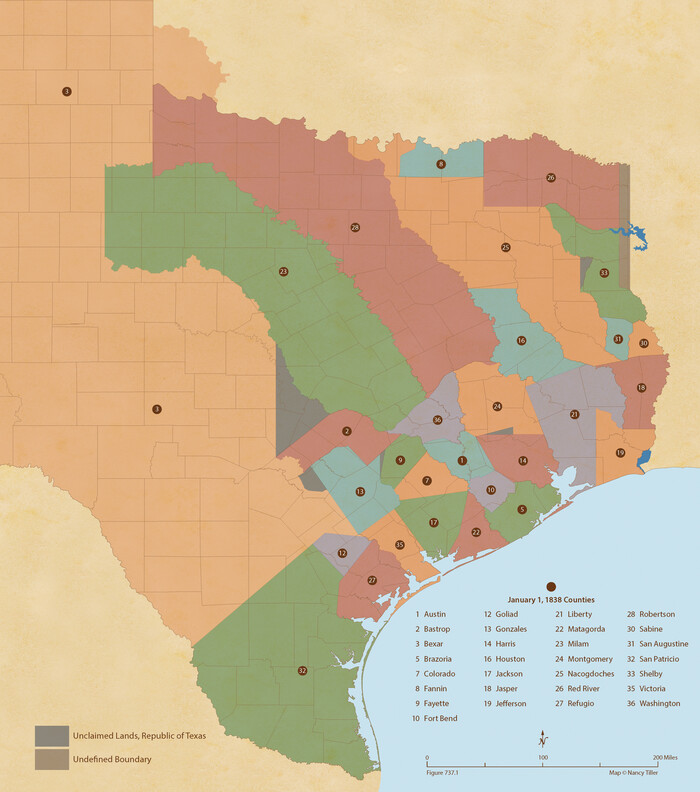

Print $20.00
Republic Counties. January 1, 1838
2020
Size 24.5 x 21.7 inches
Map/Doc 96311
Sterling County Working Sketch 4
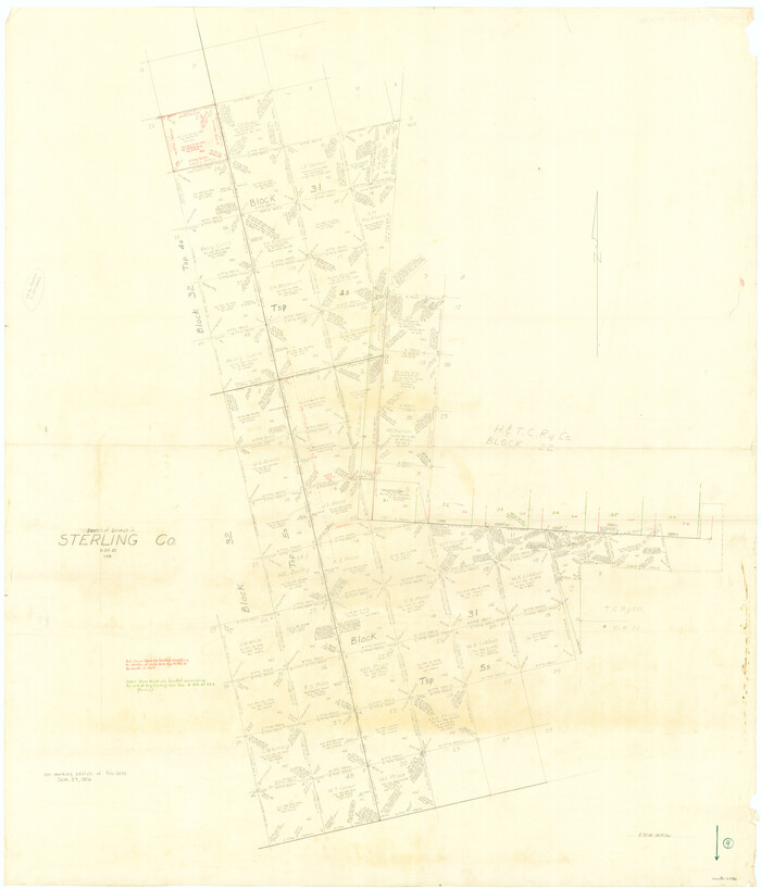

Print $40.00
- Digital $50.00
Sterling County Working Sketch 4
1950
Size 49.7 x 42.5 inches
Map/Doc 63986
Flight Mission No. DAG-14K, Frame 43, Matagorda County


Print $20.00
- Digital $50.00
Flight Mission No. DAG-14K, Frame 43, Matagorda County
1952
Size 18.4 x 22.4 inches
Map/Doc 86301
Brazoria County NRC Article 33.136 Sketch 31
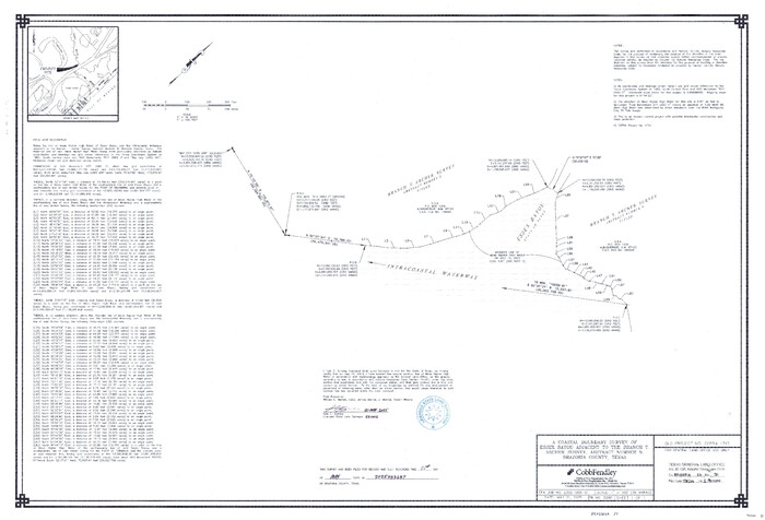

Print $24.00
Brazoria County NRC Article 33.136 Sketch 31
2025
Map/Doc 97476
Matagorda County NRC Article 33.136 Sketch 8
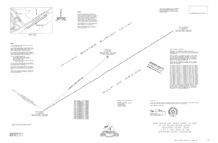

Print $30.00
- Digital $50.00
Matagorda County NRC Article 33.136 Sketch 8
2011
Size 24.0 x 36.0 inches
Map/Doc 94621
![93368, [Map of Nacogdoches County], General Map Collection](https://historictexasmaps.com/wmedia_w1800h1800/maps/93368-1.tif.jpg)
