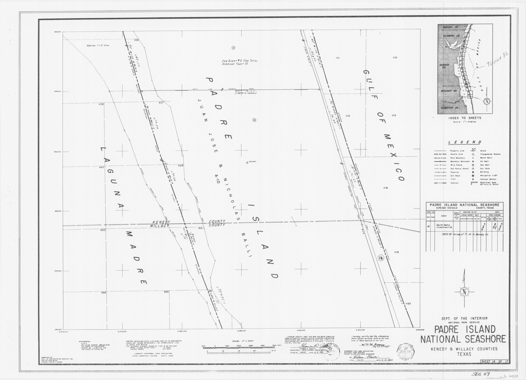
Padre Island National Seashore
17 survey plats of Padre Island National Seashore
N-2-125
-
Map/Doc
60538
-
Collection
General Map Collection
-
Counties
Kenedy Willacy
-
Height x Width
16.1 x 22.3 inches
40.9 x 56.6 cm
Part of: General Map Collection
Maps of Gulf Intracoastal Waterway, Texas - Sabine River to the Rio Grande and connecting waterways including ship channels

Print $20.00
- Digital $50.00
Maps of Gulf Intracoastal Waterway, Texas - Sabine River to the Rio Grande and connecting waterways including ship channels
1966
Size 14.6 x 22.2 inches
Map/Doc 61967
Bailey County Rolled Sketch 6

Print $20.00
- Digital $50.00
Bailey County Rolled Sketch 6
Size 17.4 x 12.9 inches
Map/Doc 5111
San Patricio County Rolled Sketch 38

Print $20.00
- Digital $50.00
San Patricio County Rolled Sketch 38
1950
Size 15.6 x 15.7 inches
Map/Doc 7588
Flight Mission No. DIX-7P, Frame 24, Aransas County

Print $20.00
- Digital $50.00
Flight Mission No. DIX-7P, Frame 24, Aransas County
1956
Size 18.6 x 22.6 inches
Map/Doc 83876
Kendall County

Print $20.00
- Digital $50.00
Kendall County
1946
Size 42.5 x 36.8 inches
Map/Doc 95553
Bell County Sketch File 36

Print $12.00
- Digital $50.00
Bell County Sketch File 36
1839
Size 6.8 x 8.4 inches
Map/Doc 14457
Duval County Sketch File 65

Print $6.00
- Digital $50.00
Duval County Sketch File 65
1943
Size 14.4 x 9.1 inches
Map/Doc 21441
McClennan County

Print $20.00
- Digital $50.00
McClennan County
1880
Size 23.6 x 25.4 inches
Map/Doc 4596
Presidio County Rolled Sketch 129

Print $20.00
- Digital $50.00
Presidio County Rolled Sketch 129
1989
Size 27.0 x 46.0 inches
Map/Doc 7399
Webb County Rolled Sketch D

Print $20.00
- Digital $50.00
Webb County Rolled Sketch D
1897
Size 25.4 x 40.6 inches
Map/Doc 8222
Galveston County NRC Article 33.136 Sketch 53

Print $24.00
- Digital $50.00
Galveston County NRC Article 33.136 Sketch 53
2009
Size 22.3 x 34.0 inches
Map/Doc 94609
Brazoria County Sketch File 15a

Print $4.00
- Digital $50.00
Brazoria County Sketch File 15a
1892
Size 14.2 x 8.7 inches
Map/Doc 14979
You may also like
Milam County Working Sketch 13

Print $20.00
- Digital $50.00
Milam County Working Sketch 13
2004
Size 34.1 x 46.0 inches
Map/Doc 83578
[Blks A, B and C, and Irion, Floyd, Sutton and Lubbock County School Land Leagues]
![90202, [Blks A, B and C, and Irion, Floyd, Sutton and Lubbock County School Land Leagues], Twichell Survey Records](https://historictexasmaps.com/wmedia_w700/maps/90202-1.tif.jpg)
Print $20.00
- Digital $50.00
[Blks A, B and C, and Irion, Floyd, Sutton and Lubbock County School Land Leagues]
Size 15.6 x 19.2 inches
Map/Doc 90202
Refugio County Boundary File 5

Print $4.00
- Digital $50.00
Refugio County Boundary File 5
Size 11.2 x 8.6 inches
Map/Doc 58256
Flight Mission No. DAG-22K, Frame 84, Matagorda County

Print $20.00
- Digital $50.00
Flight Mission No. DAG-22K, Frame 84, Matagorda County
1953
Size 15.7 x 15.6 inches
Map/Doc 86468
Cameron County Rolled Sketch 32

Print $40.00
- Digital $50.00
Cameron County Rolled Sketch 32
1981
Size 136.6 x 18.1 inches
Map/Doc 8579
Travis County Sketch File 21

Print $4.00
- Digital $50.00
Travis County Sketch File 21
1875
Size 12.8 x 8.4 inches
Map/Doc 38325
North America, as divided amongst the European Powers

Print $20.00
- Digital $50.00
North America, as divided amongst the European Powers
1774
Size 14.1 x 18.7 inches
Map/Doc 97399
Flight Mission No. DCL-6C, Frame 128, Kenedy County

Print $20.00
- Digital $50.00
Flight Mission No. DCL-6C, Frame 128, Kenedy County
1943
Size 18.6 x 22.3 inches
Map/Doc 85958
Sutton County Working Sketch 63

Print $20.00
- Digital $50.00
Sutton County Working Sketch 63
1961
Size 26.0 x 29.9 inches
Map/Doc 62406
Val Verde County Sketch File P

Print $8.00
- Digital $50.00
Val Verde County Sketch File P
1891
Size 14.3 x 8.8 inches
Map/Doc 39299
![94186, Texas [Verso], General Map Collection](https://historictexasmaps.com/wmedia_w700/maps/94186.tif.jpg)
