![60311, [Nueces Bay Islands and Nesting Birds], General Map Collection](https://historictexasmaps.com/wmedia_w1800h1800/maps/60311.tif.jpg)
[Nueces Bay Islands and Nesting Birds]
Nueces County Miscellaneous Sketch
N-2-55
-
Map/Doc
60311
-
Collection
General Map Collection
-
Object Dates
1940 (Creation Date)
-
Counties
Nueces
-
Subjects
Aerial Photograph
-
Height x Width
11.5 x 7.1 inches
29.2 x 18.0 cm
Part of: General Map Collection
Hutchinson County Rolled Sketch 40

Print $20.00
- Digital $50.00
Hutchinson County Rolled Sketch 40
1981
Size 26.2 x 37.4 inches
Map/Doc 6305
Sketch of a road from Fort Croghan to Phantom Hill, Texas

Print $20.00
- Digital $50.00
Sketch of a road from Fort Croghan to Phantom Hill, Texas
1852
Size 34.7 x 12.2 inches
Map/Doc 2007
Llano County Sketch File 5

Print $4.00
- Digital $50.00
Llano County Sketch File 5
Size 12.7 x 8.2 inches
Map/Doc 30356
Bien & Sterner's New Rail Road Map of the United States and the Canadas compiled from the latest surveys & locations under the direction of Zerah Colburn Esq., editor of the Rail Road Advocate

Print $20.00
- Digital $50.00
Bien & Sterner's New Rail Road Map of the United States and the Canadas compiled from the latest surveys & locations under the direction of Zerah Colburn Esq., editor of the Rail Road Advocate
1855
Size 27.5 x 32.3 inches
Map/Doc 95963
Presidio County Sketch File 3

Print $6.00
- Digital $50.00
Presidio County Sketch File 3
1941
Size 8.5 x 7.7 inches
Map/Doc 34423

Coryell County Working Sketch 30

Print $20.00
- Digital $50.00
Coryell County Working Sketch 30
2001
Size 37.1 x 38.7 inches
Map/Doc 68237
Flight Mission No. DIX-6P, Frame 202, Aransas County

Print $20.00
- Digital $50.00
Flight Mission No. DIX-6P, Frame 202, Aransas County
1956
Size 19.2 x 22.7 inches
Map/Doc 83864
Map of Bexar County

Print $20.00
- Digital $50.00
Map of Bexar County
1878
Size 23.5 x 26.6 inches
Map/Doc 3299
Upshur County Working Sketch 12

Print $20.00
- Digital $50.00
Upshur County Working Sketch 12
1984
Size 31.9 x 29.6 inches
Map/Doc 69569
Hunt County Sketch File 29

Print $4.00
- Digital $50.00
Hunt County Sketch File 29
Size 7.4 x 7.8 inches
Map/Doc 27130
Mason County Boundary File 6

Print $28.00
- Digital $50.00
Mason County Boundary File 6
Size 14.3 x 8.9 inches
Map/Doc 56874
You may also like
Hutchinson County Working Sketch 34

Print $20.00
- Digital $50.00
Hutchinson County Working Sketch 34
1978
Size 27.0 x 22.9 inches
Map/Doc 66394
Flight Mission No. BQR-3K, Frame 152, Brazoria County

Print $20.00
- Digital $50.00
Flight Mission No. BQR-3K, Frame 152, Brazoria County
1952
Size 18.7 x 22.3 inches
Map/Doc 83979
Schleicher County Working Sketch 10

Print $20.00
- Digital $50.00
Schleicher County Working Sketch 10
1923
Size 18.3 x 16.4 inches
Map/Doc 63812
Galveston County Sketch File 70

Print $26.00
- Digital $50.00
Galveston County Sketch File 70
1983
Size 11.3 x 8.7 inches
Map/Doc 23928
Flight Mission No. DAG-28K, Frame 28, Matagorda County

Print $20.00
- Digital $50.00
Flight Mission No. DAG-28K, Frame 28, Matagorda County
1953
Size 18.5 x 22.5 inches
Map/Doc 86596
Intracoastal Waterway in Texas - Corpus Christi to Point Isabel including Arroyo Colorado to Mo. Pac. R.R. Bridge Near Harlingen

Print $20.00
- Digital $50.00
Intracoastal Waterway in Texas - Corpus Christi to Point Isabel including Arroyo Colorado to Mo. Pac. R.R. Bridge Near Harlingen
1933
Size 28.1 x 40.8 inches
Map/Doc 61876
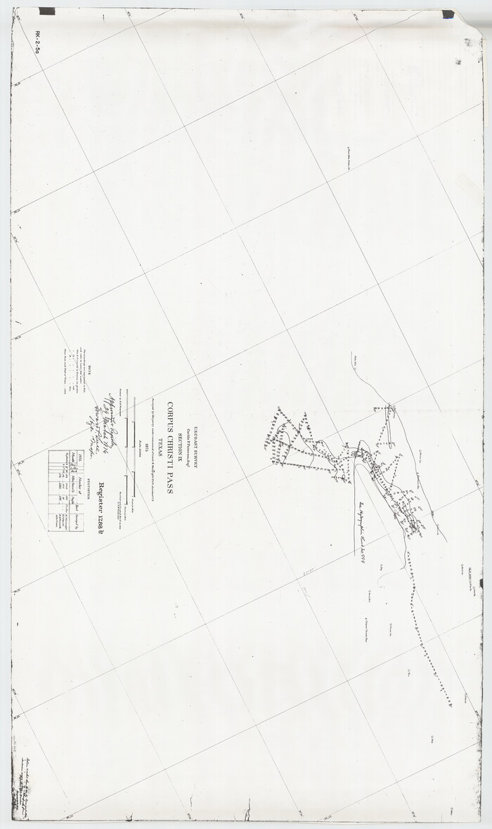
Hydrographic Survey H-1288B Corpus Christi Pass
Print $40.00
- Digital $50.00
Hydrographic Survey H-1288B Corpus Christi Pass
1875
Size 52.9 x 31.4 inches
Map/Doc 2691
Brewster County Working Sketch 19

Print $20.00
- Digital $50.00
Brewster County Working Sketch 19
1935
Size 15.7 x 13.0 inches
Map/Doc 67551
Harris County Rolled Sketch 86

Print $20.00
- Digital $50.00
Harris County Rolled Sketch 86
1947
Size 38.3 x 34.1 inches
Map/Doc 73577
Zavala County Sketch File 2

Print $22.00
- Digital $50.00
Zavala County Sketch File 2
Size 13.2 x 14.4 inches
Map/Doc 41261
Map of the British Isles designed to accompany Smith's Geography for Schools

Print $20.00
- Digital $50.00
Map of the British Isles designed to accompany Smith's Geography for Schools
1850
Size 12.1 x 9.8 inches
Map/Doc 93894
Jefferson County Rolled Sketch 4

Print $40.00
- Digital $50.00
Jefferson County Rolled Sketch 4
Size 36.7 x 65.3 inches
Map/Doc 9269