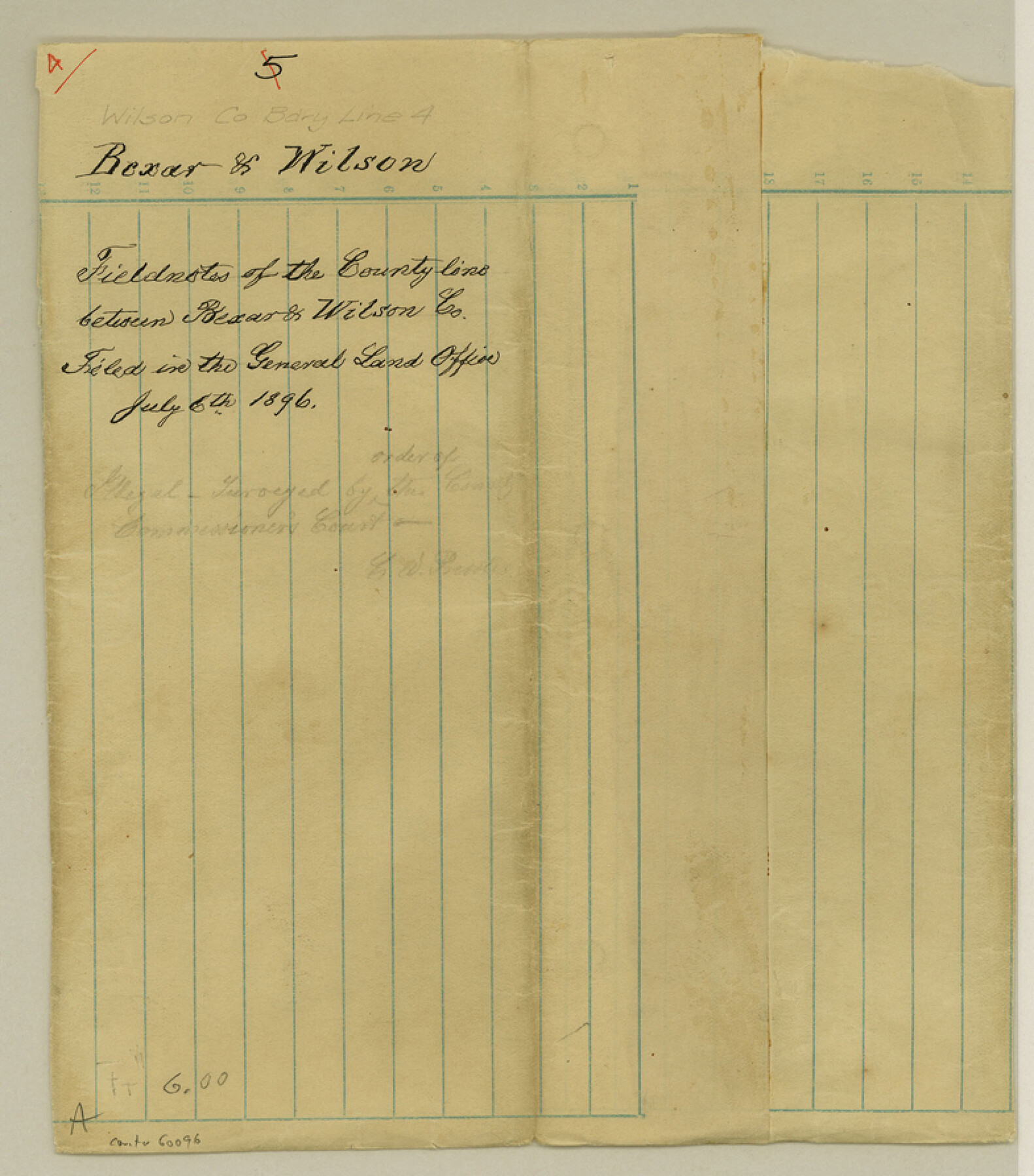
Wilson County Boundary File 4
Bexar & Wilson Fieldnotes of the County line between Bexar & Wilson Co.
-
Map/Doc
60096
-
Collection
General Map Collection
-
Counties
Wilson
-
Subjects
County Boundaries
-
Height x Width
8.9 x 7.8 inches
22.6 x 19.8 cm
Part of: General Map Collection
Real County Sketch File 19

Print $22.00
- Digital $50.00
Real County Sketch File 19
1967
Size 11.5 x 9.0 inches
Map/Doc 35080
Aransas County Rolled Sketch 27C

Print $20.00
- Digital $50.00
Aransas County Rolled Sketch 27C
1979
Size 17.3 x 19.3 inches
Map/Doc 5056
Pecos County Rolled Sketch 141

Print $40.00
- Digital $50.00
Pecos County Rolled Sketch 141
1927
Size 60.5 x 20.4 inches
Map/Doc 10722
[Sketch for Mineral Application 11318 - Arenosa Creek, S. G. Drushel]
![65648, [Sketch for Mineral Application 11318 - Arenosa Creek, S. G. Drushel], General Map Collection](https://historictexasmaps.com/wmedia_w700/maps/65648-1.tif.jpg)
Print $40.00
- Digital $50.00
[Sketch for Mineral Application 11318 - Arenosa Creek, S. G. Drushel]
Size 79.1 x 25.7 inches
Map/Doc 65648
Borden County Boundary File 1

Print $60.00
- Digital $50.00
Borden County Boundary File 1
Size 13.7 x 8.7 inches
Map/Doc 50605
Van Zandt County Sketch File 29c

Print $4.00
- Digital $50.00
Van Zandt County Sketch File 29c
1861
Size 8.2 x 8.3 inches
Map/Doc 39459
Newton County Working Sketch 12

Print $20.00
- Digital $50.00
Newton County Working Sketch 12
1942
Size 24.5 x 28.5 inches
Map/Doc 71258
Palo Pinto County Sketch File A

Print $6.00
- Digital $50.00
Palo Pinto County Sketch File A
Size 8.7 x 4.1 inches
Map/Doc 33389
Comanche County Working Sketch 18

Print $20.00
- Digital $50.00
Comanche County Working Sketch 18
1973
Size 18.3 x 25.2 inches
Map/Doc 68152
Starr County Working Sketch 18

Print $20.00
- Digital $50.00
Starr County Working Sketch 18
1982
Size 29.5 x 34.3 inches
Map/Doc 63934
Motley County Sketch File 13 (N)

Print $10.00
- Digital $50.00
Motley County Sketch File 13 (N)
1911
Size 11.1 x 8.6 inches
Map/Doc 32043
Reeves County Rolled Sketch 24

Print $20.00
- Digital $50.00
Reeves County Rolled Sketch 24
1982
Size 40.6 x 28.4 inches
Map/Doc 7492
You may also like
Andrews County Rolled Sketch 31

Print $20.00
- Digital $50.00
Andrews County Rolled Sketch 31
Size 18.3 x 19.9 inches
Map/Doc 77175
Terry County Working Sketch Graphic Index

Print $20.00
- Digital $50.00
Terry County Working Sketch Graphic Index
1970
Size 41.2 x 33.8 inches
Map/Doc 76712
Atascosa County Working Sketch 23

Print $40.00
- Digital $50.00
Atascosa County Working Sketch 23
1958
Size 38.8 x 57.1 inches
Map/Doc 68434
Dallas County Boundary File 6e

Print $70.00
- Digital $50.00
Dallas County Boundary File 6e
Size 16.6 x 22.5 inches
Map/Doc 52254

Ochiltree County Sketch File 6

Print $20.00
- Digital $50.00
Ochiltree County Sketch File 6
1930
Size 9.5 x 32.7 inches
Map/Doc 42203
Flight Mission No. DIX-5P, Frame 138, Aransas County

Print $20.00
- Digital $50.00
Flight Mission No. DIX-5P, Frame 138, Aransas County
1956
Size 17.7 x 17.9 inches
Map/Doc 83799
Medina County Working Sketch 23

Print $20.00
- Digital $50.00
Medina County Working Sketch 23
Size 43.8 x 43.1 inches
Map/Doc 70938
Maverick County Sketch File 28

Print $4.00
- Digital $50.00
Maverick County Sketch File 28
1893
Size 11.0 x 8.9 inches
Map/Doc 31163
Liberty County Working Sketch 1

Print $20.00
- Digital $50.00
Liberty County Working Sketch 1
Size 26.5 x 29.7 inches
Map/Doc 70460
Coke County Rolled Sketch 14

Print $20.00
- Digital $50.00
Coke County Rolled Sketch 14
Size 26.8 x 18.9 inches
Map/Doc 5514
Zavala County Rolled Sketch 25

Print $20.00
- Digital $50.00
Zavala County Rolled Sketch 25
1952
Size 38.4 x 43.4 inches
Map/Doc 10176