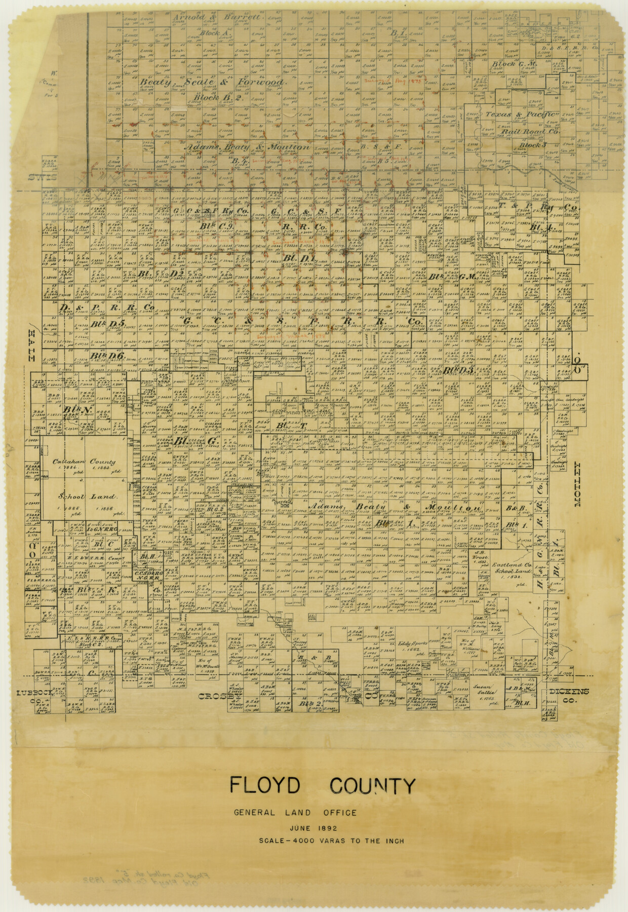
Floyd County Rolled Sketch 5
Floyd County
-
Map/Doc
5880
-
Collection
General Map Collection
-
Object Dates
1892 (Creation Date)
-
Counties
Floyd Briscoe
-
Subjects
Surveying Rolled Sketch
-
Height x Width
27.2 x 18.7 inches
69.1 x 47.5 cm
-
Medium
paper, manuscript
-
Scale
1" = 4000 varas
Part of: General Map Collection
Reeves County Working Sketch 37

Print $40.00
- Digital $50.00
Reeves County Working Sketch 37
1971
Size 57.7 x 36.7 inches
Map/Doc 63480
Flight Mission No. DAH-17M, Frame 21, Orange County

Print $20.00
- Digital $50.00
Flight Mission No. DAH-17M, Frame 21, Orange County
1953
Size 18.6 x 22.5 inches
Map/Doc 86884
Flight Mission No. BRA-7M, Frame 191, Jefferson County

Print $20.00
- Digital $50.00
Flight Mission No. BRA-7M, Frame 191, Jefferson County
1953
Size 18.6 x 22.4 inches
Map/Doc 85559
Jefferson County NRC Article 33.136 Sketch 12

Print $22.00
- Digital $50.00
Jefferson County NRC Article 33.136 Sketch 12
2017
Size 24.0 x 36.0 inches
Map/Doc 95055
Current Miscellaneous File 76

Print $10.00
- Digital $50.00
Current Miscellaneous File 76
1960
Size 11.3 x 8.8 inches
Map/Doc 74189
Randall County Rolled Sketch 8

Print $20.00
- Digital $50.00
Randall County Rolled Sketch 8
Size 32.9 x 40.6 inches
Map/Doc 7429
Uvalde County Sketch File 27

Print $20.00
- Digital $50.00
Uvalde County Sketch File 27
1972
Size 18.7 x 14.0 inches
Map/Doc 75972
Lampasas County Sketch File 16 1/2

Print $4.00
- Digital $50.00
Lampasas County Sketch File 16 1/2
Size 8.4 x 8.6 inches
Map/Doc 29428
Jefferson County Sketch File 20

Print $40.00
- Digital $50.00
Jefferson County Sketch File 20
1872
Size 12.3 x 15.0 inches
Map/Doc 28169
Jeff Davis County Sketch File 18a

Print $14.00
- Digital $50.00
Jeff Davis County Sketch File 18a
Size 9.3 x 6.0 inches
Map/Doc 27966
Roberts County Sketch File 7

Print $16.00
- Digital $50.00
Roberts County Sketch File 7
1992
Size 14.3 x 8.8 inches
Map/Doc 35316
Railroad Track Map, T&PRRCo., Culberson County, Texas

Print $4.00
- Digital $50.00
Railroad Track Map, T&PRRCo., Culberson County, Texas
1910
Size 11.8 x 18.7 inches
Map/Doc 62826
You may also like

Kaufman County Working Sketch Graphic Index

Print $20.00
- Digital $50.00
Kaufman County Working Sketch Graphic Index
1942
Size 46.1 x 38.3 inches
Map/Doc 76601
Val Verde County Sketch File Z6

Print $20.00
- Digital $50.00
Val Verde County Sketch File Z6
Size 29.3 x 26.2 inches
Map/Doc 10425
Cottle County Working Sketch 18

Print $20.00
- Digital $50.00
Cottle County Working Sketch 18
1977
Size 32.2 x 41.3 inches
Map/Doc 68328
Zavala County Sketch File 16

Print $20.00
- Digital $50.00
Zavala County Sketch File 16
1900
Size 22.9 x 16.9 inches
Map/Doc 12730
Upton County Working Sketch 45

Print $20.00
- Digital $50.00
Upton County Working Sketch 45
1968
Size 44.2 x 38.2 inches
Map/Doc 69541
[Blocks Surrounding Block T]
![92891, [Blocks Surrounding Block T], Twichell Survey Records](https://historictexasmaps.com/wmedia_w700/maps/92891-1.tif.jpg)
Print $20.00
- Digital $50.00
[Blocks Surrounding Block T]
Size 20.8 x 24.3 inches
Map/Doc 92891
Pecos County Rolled Sketch Q

Print $20.00
- Digital $50.00
Pecos County Rolled Sketch Q
Size 18.7 x 12.2 inches
Map/Doc 7311
Map of Mason County

Print $20.00
- Digital $50.00
Map of Mason County
1879
Size 22.5 x 18.8 inches
Map/Doc 3839
Coke County Rolled Sketch 15A

Print $20.00
- Digital $50.00
Coke County Rolled Sketch 15A
1949
Size 43.8 x 44.3 inches
Map/Doc 8629
Revolutionary Map of Texas, 1836

Print $27.06
Revolutionary Map of Texas, 1836
1986
Size 32.7 x 26.7 inches
Map/Doc 89022
[Capitol Leagues 216-229]
![90705, [Capitol Leagues 216-229], Twichell Survey Records](https://historictexasmaps.com/wmedia_w700/maps/90705-1.tif.jpg)
Print $20.00
- Digital $50.00
[Capitol Leagues 216-229]
Size 25.2 x 26.7 inches
Map/Doc 90705