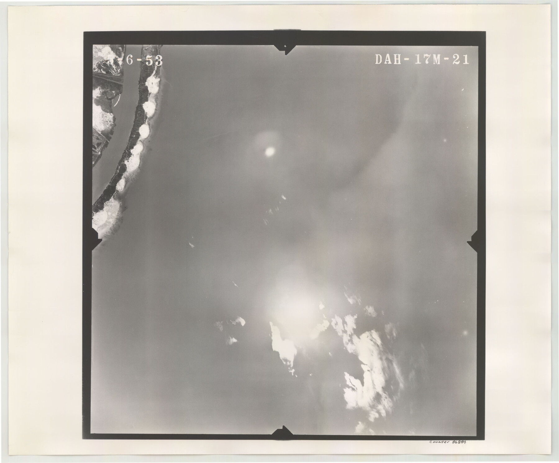
Flight Mission No. DAH-17M, Frame 21, Orange County
DAH-17M-21
-
Map/Doc
86884
-
Collection
General Map Collection
-
Object Dates
1953/5/6 (Creation Date)
-
People and Organizations
U. S. Department of Agriculture (Publisher)
-
Counties
Orange
-
Subjects
Aerial Photograph
-
Height x Width
18.6 x 22.5 inches
47.2 x 57.2 cm
-
Comments
Flown by Jack Ammann Photogrammetric Engineers of San Antonio, Texas.
Part of: General Map Collection
Colorado County Working Sketch 32

Print $20.00
- Digital $50.00
Colorado County Working Sketch 32
1985
Size 42.7 x 36.8 inches
Map/Doc 68132
El Paso County Working Sketch 15

Print $40.00
- Digital $50.00
El Paso County Working Sketch 15
1957
Size 23.3 x 127.5 inches
Map/Doc 69037
Harris County Sketch File 22

Print $4.00
- Digital $50.00
Harris County Sketch File 22
1862
Size 9.1 x 9.4 inches
Map/Doc 25375
[Surveys along the Trinity River and below]
![101, [Surveys along the Trinity River and below], General Map Collection](https://historictexasmaps.com/wmedia_w700/maps/101.tif.jpg)
Print $20.00
- Digital $50.00
[Surveys along the Trinity River and below]
1840
Size 22.6 x 17.6 inches
Map/Doc 101
Pecos County Texas

Print $20.00
- Digital $50.00
Pecos County Texas
Size 23.6 x 19.3 inches
Map/Doc 3950
Newton County Working Sketch 17

Print $20.00
- Digital $50.00
Newton County Working Sketch 17
1950
Size 15.1 x 23.0 inches
Map/Doc 71263

Hutchinson County Working Sketch 31

Print $20.00
- Digital $50.00
Hutchinson County Working Sketch 31
1978
Size 27.0 x 22.2 inches
Map/Doc 66391
Dimmit County Sketch File 28

Print $40.00
- Digital $50.00
Dimmit County Sketch File 28
Size 14.7 x 17.4 inches
Map/Doc 11350
Brooks County Rolled Sketch 16

Print $20.00
- Digital $50.00
Brooks County Rolled Sketch 16
1941
Size 18.0 x 18.8 inches
Map/Doc 5341
Zavala County Working Sketch 1

Print $20.00
- Digital $50.00
Zavala County Working Sketch 1
Size 21.2 x 16.3 inches
Map/Doc 62076
San Jacinto County Rolled Sketch 10A

Print $40.00
- Digital $50.00
San Jacinto County Rolled Sketch 10A
1944
Size 42.9 x 59.0 inches
Map/Doc 9882
You may also like
Rio Grande, Madero Sheet

Print $20.00
- Digital $50.00
Rio Grande, Madero Sheet
1931
Size 33.0 x 38.5 inches
Map/Doc 65124
Plat of Resurvey of Sections 5, 7 and 8, T. 5S., R. 14W. Indian Meridian, Oklahoma

Print $4.00
- Digital $50.00
Plat of Resurvey of Sections 5, 7 and 8, T. 5S., R. 14W. Indian Meridian, Oklahoma
1917
Size 18.5 x 22.6 inches
Map/Doc 75140
Flight Mission No. DCL-7C, Frame 145, Kenedy County

Print $20.00
- Digital $50.00
Flight Mission No. DCL-7C, Frame 145, Kenedy County
1943
Size 18.6 x 22.5 inches
Map/Doc 86102
Map of the C.C. Browning survey 412 enlarged from General Land Office map of the west part of Travis County, Texas

Print $3.00
- Digital $50.00
Map of the C.C. Browning survey 412 enlarged from General Land Office map of the west part of Travis County, Texas
1920
Size 11.3 x 9.1 inches
Map/Doc 10752
Kleberg County Boundary File 3

Print $10.00
- Digital $50.00
Kleberg County Boundary File 3
Size 9.5 x 6.1 inches
Map/Doc 64981
Flight Mission No. DQN-2K, Frame 34, Calhoun County

Print $20.00
- Digital $50.00
Flight Mission No. DQN-2K, Frame 34, Calhoun County
1953
Size 18.5 x 22.2 inches
Map/Doc 84241
Stonewall County Rolled Sketch 22

Print $20.00
- Digital $50.00
Stonewall County Rolled Sketch 22
1951
Size 33.3 x 30.7 inches
Map/Doc 76011
Shallowater Well Field Survey

Print $40.00
- Digital $50.00
Shallowater Well Field Survey
Size 61.8 x 43.7 inches
Map/Doc 89900
Flight Mission No. BRA-7M, Frame 77, Jefferson County

Print $20.00
- Digital $50.00
Flight Mission No. BRA-7M, Frame 77, Jefferson County
1953
Size 16.0 x 16.0 inches
Map/Doc 85499

Travis County Appraisal District Plat Map 2_2105

Print $20.00
- Digital $50.00
Travis County Appraisal District Plat Map 2_2105
Size 21.6 x 26.5 inches
Map/Doc 94200
Plan de la Villa de Austin

Print $20.00
- Digital $50.00
Plan de la Villa de Austin
1828
Size 18.5 x 12.5 inches
Map/Doc 94116