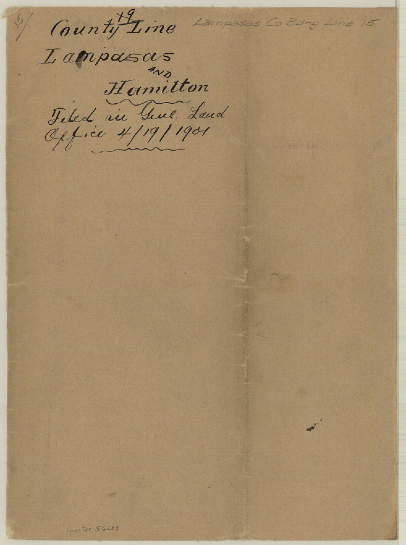
Lampasas County Boundary File 15
County Line Lampasas and Hamilton
-
Map/Doc
56203
-
Collection
General Map Collection
-
Counties
Lampasas
-
Subjects
County Boundaries
-
Height x Width
8.8 x 6.6 inches
22.4 x 16.8 cm
Part of: General Map Collection
Real County Working Sketch 25

Print $20.00
- Digital $50.00
Real County Working Sketch 25
1946
Size 26.5 x 24.7 inches
Map/Doc 71917
Palo Pinto County Sketch File 28

Print $8.00
- Digital $50.00
Palo Pinto County Sketch File 28
1875
Size 11.3 x 8.6 inches
Map/Doc 33437
Castro County Sketch File 12

Print $10.00
- Digital $50.00
Castro County Sketch File 12
1910
Size 11.1 x 8.6 inches
Map/Doc 17505
Map of the Fort Worth & Denver City Railway

Print $40.00
- Digital $50.00
Map of the Fort Worth & Denver City Railway
1887
Size 22.8 x 124.4 inches
Map/Doc 64458
Presidio County Rolled Sketch A-2

Print $20.00
- Digital $50.00
Presidio County Rolled Sketch A-2
1889
Size 36.9 x 43.9 inches
Map/Doc 9770
Bee County Working Sketch 14

Print $20.00
- Digital $50.00
Bee County Working Sketch 14
1948
Size 22.2 x 17.7 inches
Map/Doc 67264
Shelby County Rolled Sketch 6

Print $20.00
- Digital $50.00
Shelby County Rolled Sketch 6
Size 26.7 x 20.9 inches
Map/Doc 7776
Collin County Working Sketch 5

Print $20.00
- Digital $50.00
Collin County Working Sketch 5
1992
Size 14.2 x 19.7 inches
Map/Doc 68099
Briscoe County Sketch File O-1

Print $2.00
- Digital $50.00
Briscoe County Sketch File O-1
1935
Size 11.3 x 7.2 inches
Map/Doc 16425
Kent County Rolled Sketch 4

Print $20.00
- Digital $50.00
Kent County Rolled Sketch 4
1950
Size 22.1 x 31.1 inches
Map/Doc 6475
Kaufman County Boundary File 4

Print $52.00
- Digital $50.00
Kaufman County Boundary File 4
Size 7.6 x 8.7 inches
Map/Doc 55934
Dickens County Rolled Sketch 13

Print $40.00
- Digital $50.00
Dickens County Rolled Sketch 13
1950
Size 43.4 x 53.7 inches
Map/Doc 45135
You may also like
Potter County Rolled Sketch 13

Print $20.00
- Digital $50.00
Potter County Rolled Sketch 13
2004
Size 19.3 x 23.5 inches
Map/Doc 82478
State Prison System, Cherokee County

Print $20.00
- Digital $50.00
State Prison System, Cherokee County
Size 15.7 x 33.1 inches
Map/Doc 73560
Dawson County Working Sketch 10

Print $20.00
- Digital $50.00
Dawson County Working Sketch 10
1944
Size 15.6 x 13.6 inches
Map/Doc 68554
Bowie County Sketch File 7c

Print $7.00
- Digital $50.00
Bowie County Sketch File 7c
Size 11.9 x 7.4 inches
Map/Doc 14864
[Right of Way & Track Map, The Texas & Pacific Ry. Co. Main Line]
![64663, [Right of Way & Track Map, The Texas & Pacific Ry. Co. Main Line], General Map Collection](https://historictexasmaps.com/wmedia_w700/maps/64663.tif.jpg)
Print $20.00
- Digital $50.00
[Right of Way & Track Map, The Texas & Pacific Ry. Co. Main Line]
Size 11.0 x 19.0 inches
Map/Doc 64663
Outer Continental Shelf Leasing Maps (Louisiana Offshore Operations)

Print $20.00
- Digital $50.00
Outer Continental Shelf Leasing Maps (Louisiana Offshore Operations)
1954
Size 25.5 x 15.3 inches
Map/Doc 76093
James Subdivision, NE/4 Section 1, Block E, G. C. & S. F. R.R. Co. Cert 3/360, Abstract 46

Print $20.00
- Digital $50.00
James Subdivision, NE/4 Section 1, Block E, G. C. & S. F. R.R. Co. Cert 3/360, Abstract 46
Size 17.8 x 19.4 inches
Map/Doc 92734
Kimble County Working Sketch 61

Print $20.00
- Digital $50.00
Kimble County Working Sketch 61
1964
Size 23.4 x 21.5 inches
Map/Doc 70129
Runnels County Rolled Sketch C

Print $20.00
- Digital $50.00
Runnels County Rolled Sketch C
1892
Size 16.0 x 21.0 inches
Map/Doc 7541
[J. Poitevent Block 2, T. T. RR. Block 2, C. C. Slaughter Block 1]
![90619, [J. Poitevent Block 2, T. T. RR. Block 2, C. C. Slaughter Block 1], Twichell Survey Records](https://historictexasmaps.com/wmedia_w700/maps/90619-1.tif.jpg)
Print $2.00
- Digital $50.00
[J. Poitevent Block 2, T. T. RR. Block 2, C. C. Slaughter Block 1]
Size 9.1 x 11.7 inches
Map/Doc 90619
[Maps of surveys in Reeves & Culberson Cos]
![61138, [Maps of surveys in Reeves & Culberson Cos], General Map Collection](https://historictexasmaps.com/wmedia_w700/maps/61138.tif.jpg)
Print $20.00
- Digital $50.00
[Maps of surveys in Reeves & Culberson Cos]
1937
Size 30.6 x 25.0 inches
Map/Doc 61138
Nueces County NRC Article 33.136 Location Key Sheet

Print $20.00
- Digital $50.00
Nueces County NRC Article 33.136 Location Key Sheet
1975
Size 27.0 x 23.0 inches
Map/Doc 77031