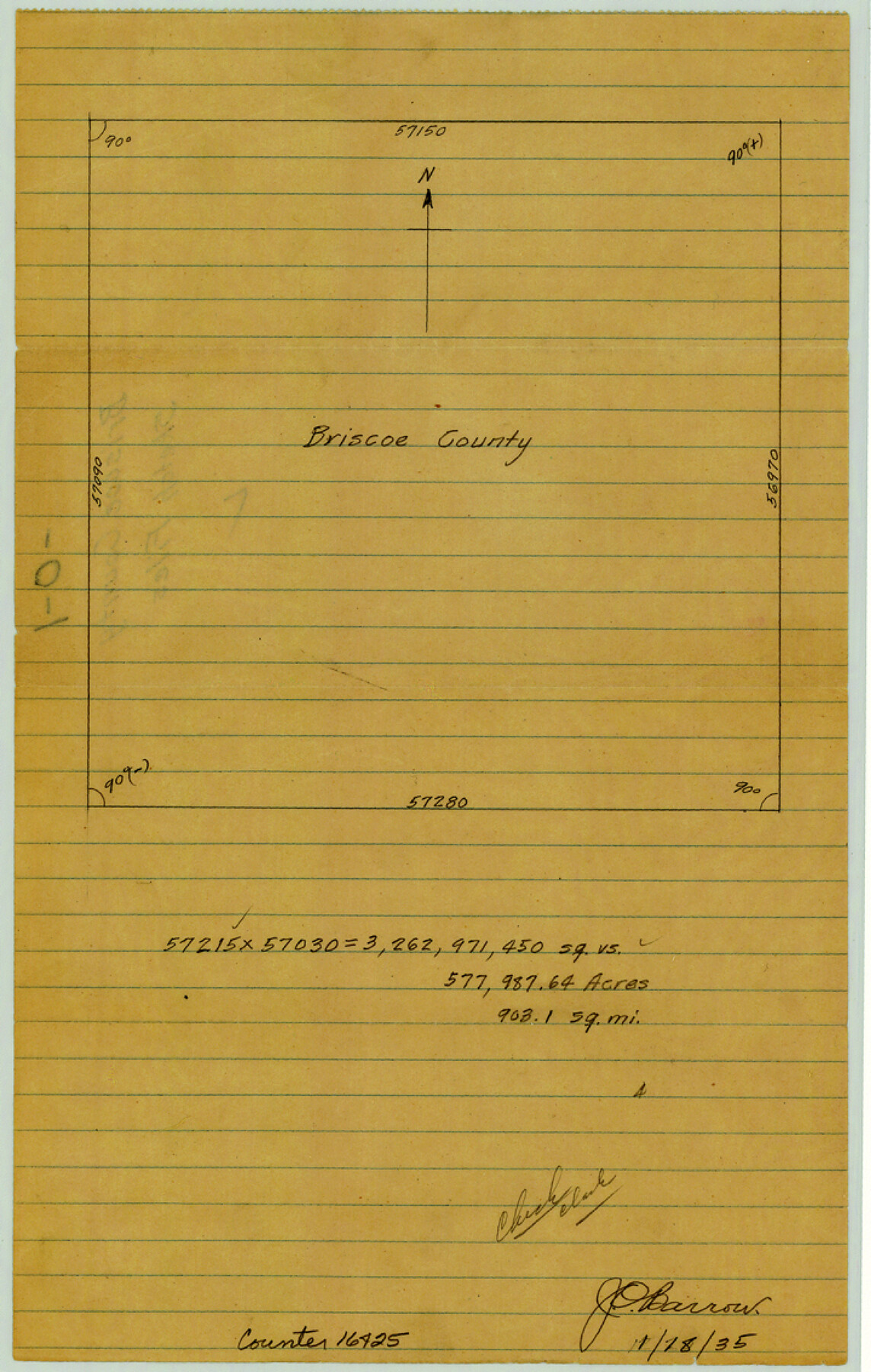
Briscoe County Sketch File O-1
[Calculation of area of Briscoe County]
-
Map/Doc
16425
-
Collection
General Map Collection
-
Object Dates
1935/1/18 (Creation Date)
1935/1/18 (File Date)
-
People and Organizations
J.O. Barrow (Surveyor/Engineer)
-
Counties
Briscoe
-
Subjects
Surveying Sketch File
-
Height x Width
11.3 x 7.2 inches
28.7 x 18.3 cm
-
Medium
paper, manuscript
Part of: General Map Collection

Trinity River, Crabtree Ferry Sheet

Print $20.00
- Digital $50.00
Trinity River, Crabtree Ferry Sheet
1922
Size 41.9 x 37.8 inches
Map/Doc 65186
Tarrant County Working Sketch 1

Print $20.00
- Digital $50.00
Tarrant County Working Sketch 1
1939
Size 12.2 x 18.9 inches
Map/Doc 62418
Brooks County Working Sketch 12

Print $20.00
- Digital $50.00
Brooks County Working Sketch 12
1943
Size 27.0 x 26.5 inches
Map/Doc 67796
Jefferson County NRC Article 33.136 Sketch 15

Print $38.00
Jefferson County NRC Article 33.136 Sketch 15
2020
Map/Doc 97253
Nueces County Sketch File 42

Print $24.00
- Digital $50.00
Nueces County Sketch File 42
1950
Size 11.0 x 8.6 inches
Map/Doc 32633
Gaines County Working Sketch 2

Print $20.00
- Digital $50.00
Gaines County Working Sketch 2
1939
Size 29.4 x 39.9 inches
Map/Doc 69302

Chambers County Sketch File 25

Print $8.00
- Digital $50.00
Chambers County Sketch File 25
Size 14.1 x 8.7 inches
Map/Doc 17602
Crockett County Rolled Sketch 83

Print $20.00
- Digital $50.00
Crockett County Rolled Sketch 83
1960
Size 22.6 x 15.2 inches
Map/Doc 5623
San Augustine County Working Sketch 9

Print $20.00
- Digital $50.00
San Augustine County Working Sketch 9
1935
Size 41.2 x 39.7 inches
Map/Doc 63696
Kerr County State Real Property Sketch 1

Print $20.00
- Digital $50.00
Kerr County State Real Property Sketch 1
2007
Size 24.9 x 35.1 inches
Map/Doc 88669
You may also like
Guadalupe County Working Sketch 9

Print $20.00
- Digital $50.00
Guadalupe County Working Sketch 9
1955
Size 21.9 x 12.6 inches
Map/Doc 63318
Duval County Working Sketch 53

Print $20.00
- Digital $50.00
Duval County Working Sketch 53
1948
Size 34.7 x 37.5 inches
Map/Doc 68777
Coke County Rolled Sketch 19

Print $20.00
- Digital $50.00
Coke County Rolled Sketch 19
1954
Size 18.5 x 25.8 inches
Map/Doc 5519
Sketch in Dawson County, Texas

Print $3.00
- Digital $50.00
Sketch in Dawson County, Texas
1950
Size 9.5 x 12.8 inches
Map/Doc 92627
Cooke County Sketch File 26

Print $4.00
- Digital $50.00
Cooke County Sketch File 26
1872
Size 5.9 x 8.2 inches
Map/Doc 19277

Flight Mission No. CUG-3P, Frame 194, Kleberg County

Print $20.00
- Digital $50.00
Flight Mission No. CUG-3P, Frame 194, Kleberg County
1956
Size 18.4 x 22.2 inches
Map/Doc 86298
Jefferson County Rolled Sketch 48

Print $20.00
- Digital $50.00
Jefferson County Rolled Sketch 48
1963
Size 28.3 x 34.8 inches
Map/Doc 6403
Gulf Coast of the United States, Key West to Rio Grande

Print $20.00
- Digital $50.00
Gulf Coast of the United States, Key West to Rio Grande
1863
Size 18.3 x 27.2 inches
Map/Doc 72667
Terrell County Working Sketch 55

Print $20.00
- Digital $50.00
Terrell County Working Sketch 55
1959
Size 25.9 x 43.4 inches
Map/Doc 62148
Flight Mission No. BRA-6T, Frame 117, Jefferson County

Print $20.00
- Digital $50.00
Flight Mission No. BRA-6T, Frame 117, Jefferson County
1957
Size 18.6 x 18.4 inches
Map/Doc 85786
Red River County Working Sketch 27

Print $20.00
- Digital $50.00
Red River County Working Sketch 27
1961
Size 25.3 x 42.7 inches
Map/Doc 72010