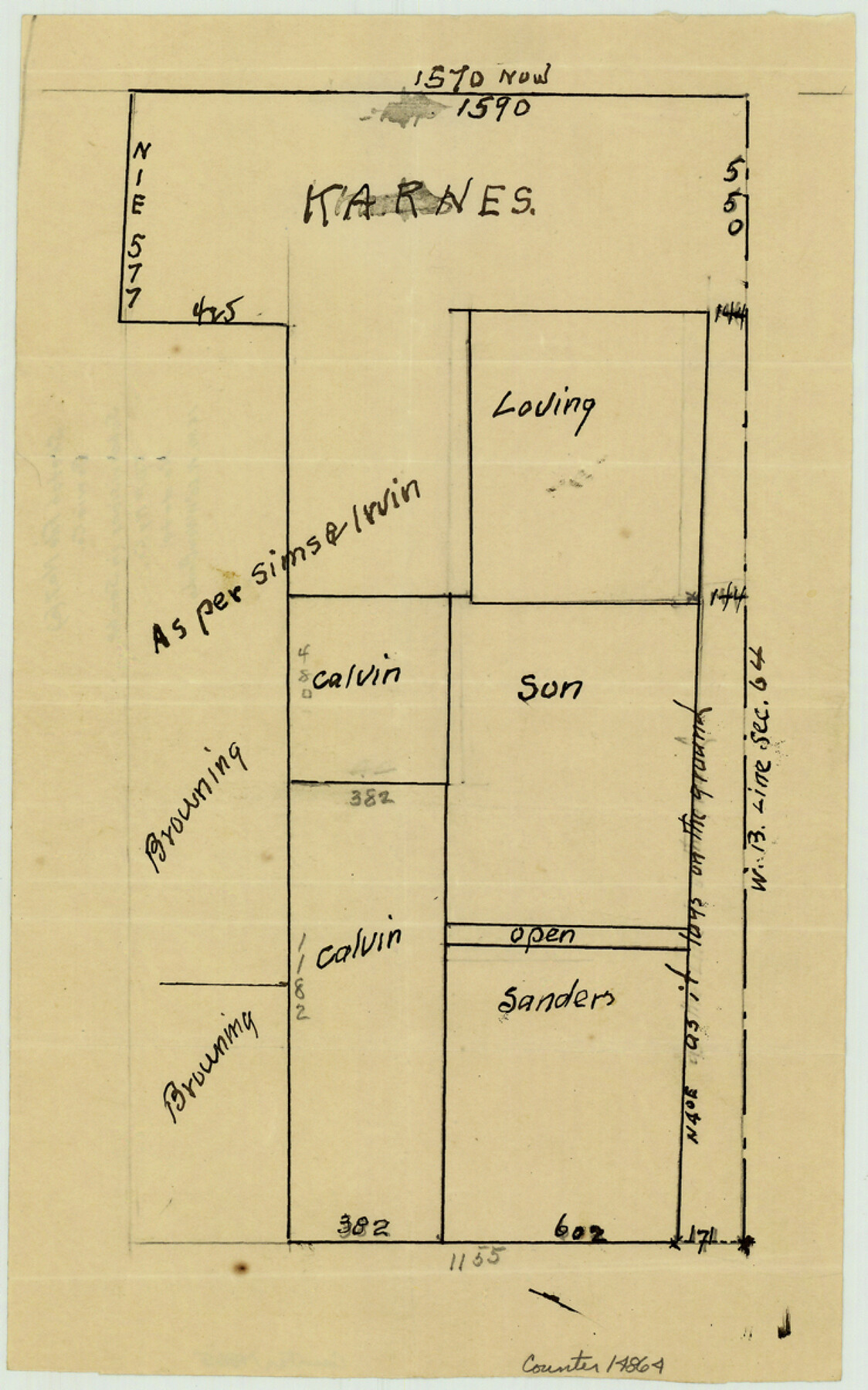
Bowie County Sketch File 7c
[Sketches showing subdivisions in section 68, T. & P. R.R. Co.]
-
Map/Doc
14864
-
Collection
General Map Collection
-
Counties
Bowie
-
Subjects
Surveying Sketch File
-
Height x Width
11.9 x 7.4 inches
30.2 x 18.8 cm
-
Medium
paper, manuscript
Part of: General Map Collection
Matagorda County NRC Article 33.136 Sketch 13

Print $22.00
- Digital $50.00
Matagorda County NRC Article 33.136 Sketch 13
Size 24.2 x 36.0 inches
Map/Doc 95720
Clay County Sketch File 26

Print $84.00
- Digital $50.00
Clay County Sketch File 26
1888
Size 14.3 x 9.0 inches
Map/Doc 18442
Brazoria County Rolled Sketch 50A

Print $20.00
- Digital $50.00
Brazoria County Rolled Sketch 50A
1932
Size 17.8 x 26.1 inches
Map/Doc 5188
Flight Mission No. BRE-4P, Frame 169, Nueces County

Print $20.00
- Digital $50.00
Flight Mission No. BRE-4P, Frame 169, Nueces County
1956
Size 18.5 x 22.6 inches
Map/Doc 86832
Crockett County Rolled Sketch 98

Print $40.00
- Digital $50.00
Crockett County Rolled Sketch 98
2021
Size 36.5 x 48.3 inches
Map/Doc 96577
1938 Tydol Trails New York

Print $20.00
- Digital $50.00
1938 Tydol Trails New York
1938
Size 27.2 x 31.8 inches
Map/Doc 97111
Coke County Working Sketch 3

Print $20.00
- Digital $50.00
Coke County Working Sketch 3
1890
Size 22.3 x 29.2 inches
Map/Doc 68040
Hamilton County Rolled Sketch 10

Print $20.00
- Digital $50.00
Hamilton County Rolled Sketch 10
1949
Size 22.2 x 27.5 inches
Map/Doc 6059
Sutton County Rolled Sketch 59

Print $40.00
- Digital $50.00
Sutton County Rolled Sketch 59
1960
Size 86.1 x 42.5 inches
Map/Doc 9977
Randall County Working Sketch Graphic Index

Print $20.00
- Digital $50.00
Randall County Working Sketch Graphic Index
1958
Size 41.2 x 33.2 inches
Map/Doc 76676
Howard County Sketch File 5

Print $3.00
- Digital $50.00
Howard County Sketch File 5
Size 20.0 x 12.8 inches
Map/Doc 11794
Mills County Rolled Sketch 3

Print $20.00
- Digital $50.00
Mills County Rolled Sketch 3
1998
Size 26.4 x 37.9 inches
Map/Doc 6781
You may also like
Real County Working Sketch Graphic Index, Sheet 2 (Sketches 43 to Most Recent)

Print $20.00
- Digital $50.00
Real County Working Sketch Graphic Index, Sheet 2 (Sketches 43 to Most Recent)
1972
Size 43.2 x 31.1 inches
Map/Doc 76679
Van Zandt County Sketch File 15b

Print $4.00
- Digital $50.00
Van Zandt County Sketch File 15b
1858
Size 12.2 x 7.7 inches
Map/Doc 39408
Harbor of Brazos Santiago, Texas

Print $20.00
- Digital $50.00
Harbor of Brazos Santiago, Texas
1887
Size 27.1 x 18.3 inches
Map/Doc 72994
Gulf Coast of the United States, Key West to Rio Grande

Print $20.00
- Digital $50.00
Gulf Coast of the United States, Key West to Rio Grande
1863
Size 27.3 x 18.2 inches
Map/Doc 72663
Houston County Sketch File 31

Print $2.00
- Digital $50.00
Houston County Sketch File 31
1888
Size 9.1 x 7.9 inches
Map/Doc 26808
Rusk County Sketch File 43

Print $20.00
Rusk County Sketch File 43
1951
Size 23.5 x 26.6 inches
Map/Doc 12278
Henderson County Working Sketch 38

Print $20.00
- Digital $50.00
Henderson County Working Sketch 38
1982
Size 19.3 x 17.0 inches
Map/Doc 66171
Fisher County Working Sketch 14

Print $20.00
- Digital $50.00
Fisher County Working Sketch 14
1957
Size 24.9 x 33.1 inches
Map/Doc 69148
Bee County Sketch File 18

Print $6.00
- Digital $50.00
Bee County Sketch File 18
1880
Size 11.8 x 10.3 inches
Map/Doc 14303
General Highway Map. Detail of Cities and Towns in Montgomery County, Texas

Print $20.00
General Highway Map. Detail of Cities and Towns in Montgomery County, Texas
1961
Size 18.1 x 24.5 inches
Map/Doc 79603

![90513, [Capitol Lands], Twichell Survey Records](https://historictexasmaps.com/wmedia_w700/maps/90513-1.tif.jpg)