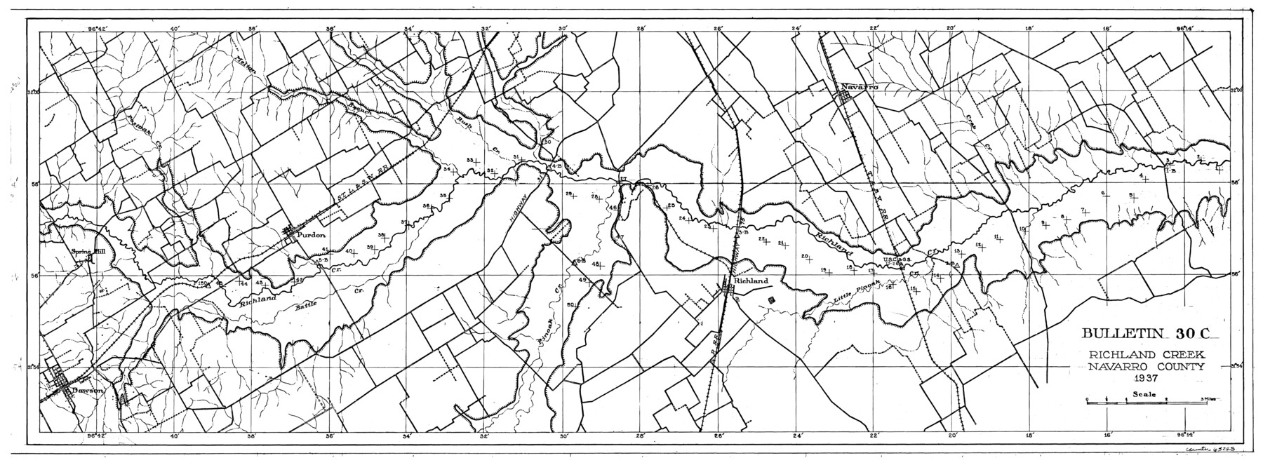
Trinity River, Bulletin 30C/Richland Creek
-
Map/Doc
65245
-
Collection
General Map Collection
-
Object Dates
1937 (Creation Date)
-
People and Organizations
Texas State Reclamation Department (Publisher)
-
Counties
Navarro
-
Subjects
River Surveys Topographic
-
Height x Width
11.7 x 31.8 inches
29.7 x 80.8 cm
Part of: General Map Collection
Anderson County Sketch File 23

Print $10.00
- Digital $50.00
Anderson County Sketch File 23
1942
Size 11.2 x 8.7 inches
Map/Doc 12794
Tom Green County Working Sketch 6

Print $40.00
- Digital $50.00
Tom Green County Working Sketch 6
1948
Size 34.2 x 51.3 inches
Map/Doc 69375
Aransas County Working Sketch 7

Print $20.00
- Digital $50.00
Aransas County Working Sketch 7
1946
Size 19.4 x 23.0 inches
Map/Doc 67174
Goliad County Sketch File 10

Print $4.00
- Digital $50.00
Goliad County Sketch File 10
1859
Size 9.3 x 8.1 inches
Map/Doc 24226
McMullen County Working Sketch 16

Print $20.00
- Digital $50.00
McMullen County Working Sketch 16
1940
Size 23.8 x 19.8 inches
Map/Doc 70717
Young County Working Sketch 6

Print $20.00
- Digital $50.00
Young County Working Sketch 6
1919
Size 12.2 x 11.9 inches
Map/Doc 62029
Potter County Rolled Sketch 3

Print $20.00
- Digital $50.00
Potter County Rolled Sketch 3
1892
Map/Doc 9758
Leon County Working Sketch 52a

Print $20.00
- Digital $50.00
Leon County Working Sketch 52a
1982
Size 35.1 x 42.8 inches
Map/Doc 70451
Fort Bend County Working Sketch 2

Print $20.00
- Digital $50.00
Fort Bend County Working Sketch 2
1897
Size 18.3 x 28.4 inches
Map/Doc 69208
Upton County Working Sketch 17

Print $20.00
- Digital $50.00
Upton County Working Sketch 17
1941
Size 36.1 x 22.1 inches
Map/Doc 69513
Houston County Sketch File 32

Print $4.00
- Digital $50.00
Houston County Sketch File 32
1877
Size 10.8 x 7.1 inches
Map/Doc 26809
Flight Mission No. DQN-3K, Frame 5, Calhoun County

Print $20.00
- Digital $50.00
Flight Mission No. DQN-3K, Frame 5, Calhoun County
1953
Size 18.4 x 22.1 inches
Map/Doc 84337
You may also like
Crosby County Working Sketch 12

Print $20.00
- Digital $50.00
Crosby County Working Sketch 12
1953
Size 26.0 x 29.8 inches
Map/Doc 68446

General Highway Map, Jefferson County, Texas

Print $20.00
General Highway Map, Jefferson County, Texas
1940
Size 24.8 x 18.6 inches
Map/Doc 79144
Tarrant County Sketch File 10

Print $8.00
- Digital $50.00
Tarrant County Sketch File 10
1859
Size 12.9 x 8.4 inches
Map/Doc 37694
Flight Mission No. DQN-3K, Frame 73, Calhoun County

Print $20.00
- Digital $50.00
Flight Mission No. DQN-3K, Frame 73, Calhoun County
1953
Size 18.6 x 22.4 inches
Map/Doc 84364
Coke County Working Sketch 1

Print $20.00
- Digital $50.00
Coke County Working Sketch 1
Size 16.3 x 36.2 inches
Map/Doc 68038
Americæ Nova Tabula

Print $20.00
- Digital $50.00
Americæ Nova Tabula
1633
Size 15.3 x 18.7 inches
Map/Doc 95827
Kaufman County Sketch File 1

Print $4.00
- Digital $50.00
Kaufman County Sketch File 1
Size 8.3 x 8.3 inches
Map/Doc 28624
Andrews County Working Sketch 8

Print $20.00
- Digital $50.00
Andrews County Working Sketch 8
1954
Size 18.2 x 14.9 inches
Map/Doc 67054
Arlington Street Map & Guide

Digital $50.00
Arlington Street Map & Guide
Size 35.4 x 23.0 inches
Map/Doc 94437
Milam County Boundary File 5

Print $18.00
- Digital $50.00
Milam County Boundary File 5
Size 8.9 x 9.7 inches
Map/Doc 57223
Map of Texas and the countries adjacent compiled in the Bureau of the Corps of Topographical Engineers from the best authorities for the State Department

Print $20.00
- Digital $50.00
Map of Texas and the countries adjacent compiled in the Bureau of the Corps of Topographical Engineers from the best authorities for the State Department
1844
Size 26.1 x 18.2 inches
Map/Doc 72715