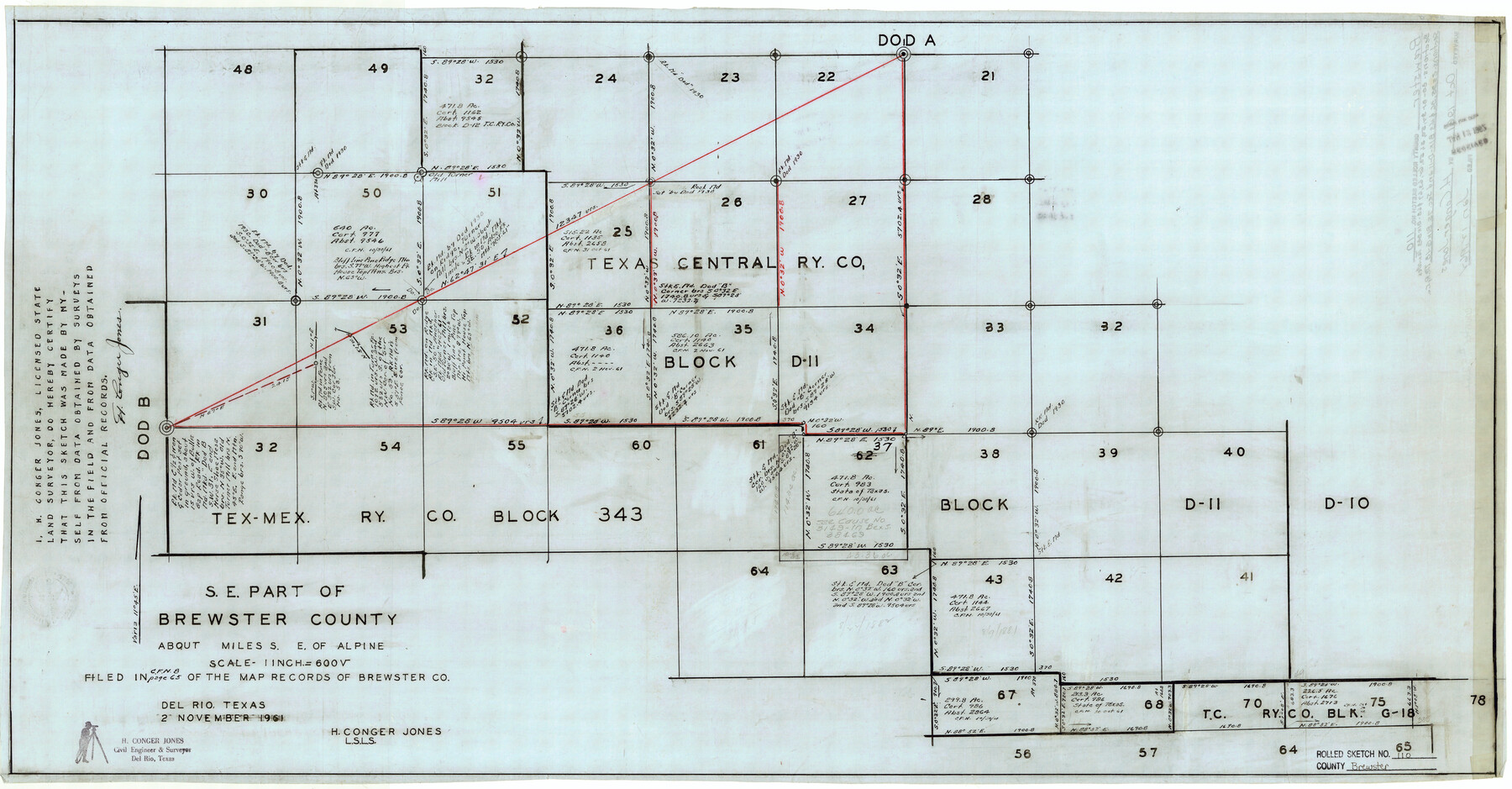
Brewster County Rolled Sketch 110
S.E. part of Brewster County
-
Map/Doc
5262
-
Collection
General Map Collection
-
Object Dates
1961 (Survey Date)
1962/1/12 (File Date)
1961/11/2 (Creation Date)
-
People and Organizations
H. Conger Jones (Surveyor/Engineer)
-
Counties
Brewster
-
Subjects
Surveying Rolled Sketch
-
Height x Width
19.7 x 37.7 inches
50.0 x 95.8 cm
-
Medium
linen, manuscript
-
Scale
1" = 600 varas
Part of: General Map Collection
United States - Gulf Coast - From Latitude 26° 33' to the Rio Grande Texas

Print $20.00
- Digital $50.00
United States - Gulf Coast - From Latitude 26° 33' to the Rio Grande Texas
1916
Size 27.8 x 18.3 inches
Map/Doc 72837
Cass County Working Sketch 40

Print $20.00
- Digital $50.00
Cass County Working Sketch 40
1984
Size 24.6 x 24.5 inches
Map/Doc 67943
Current Miscellaneous File 35

Print $10.00
- Digital $50.00
Current Miscellaneous File 35
Size 14.2 x 8.7 inches
Map/Doc 73947
Marion County Working Sketch 43

Print $20.00
- Digital $50.00
Marion County Working Sketch 43
2002
Size 28.6 x 29.0 inches
Map/Doc 78214
Presidio County Rolled Sketch 81

Print $20.00
- Digital $50.00
Presidio County Rolled Sketch 81
Size 19.2 x 36.8 inches
Map/Doc 7368
[Beaumont, Sour Lake and Western Ry. Right of Way and Alignment - Frisco]
![64126, [Beaumont, Sour Lake and Western Ry. Right of Way and Alignment - Frisco], General Map Collection](https://historictexasmaps.com/wmedia_w700/maps/64126.tif.jpg)
Print $20.00
- Digital $50.00
[Beaumont, Sour Lake and Western Ry. Right of Way and Alignment - Frisco]
1910
Size 20.1 x 46.1 inches
Map/Doc 64126
Cass County Working Sketch 47a

Print $20.00
- Digital $50.00
Cass County Working Sketch 47a
1991
Size 29.5 x 39.5 inches
Map/Doc 67950
Maverick County Working Sketch 18

Print $20.00
- Digital $50.00
Maverick County Working Sketch 18
1975
Size 44.4 x 35.3 inches
Map/Doc 70910
Galveston County Sketch File 46

Print $20.00
- Digital $50.00
Galveston County Sketch File 46
1912
Size 14.0 x 34.1 inches
Map/Doc 11541
Right of Way and Track Map Houston & Texas Central R.R. operated by the T. & N.O. R.R. Co., Austin Branch

Print $40.00
- Digital $50.00
Right of Way and Track Map Houston & Texas Central R.R. operated by the T. & N.O. R.R. Co., Austin Branch
1918
Size 26.0 x 58.4 inches
Map/Doc 64556
Kleberg County Working Sketch 1

Print $20.00
- Digital $50.00
Kleberg County Working Sketch 1
1925
Size 21.9 x 43.8 inches
Map/Doc 70242
Cameron County Rolled Sketch 20E

Print $20.00
- Digital $50.00
Cameron County Rolled Sketch 20E
Size 13.0 x 12.5 inches
Map/Doc 5478
You may also like
Reconnoissances of Routes from San Antonio de Bexar to El Paso Del Norte

Print $20.00
Reconnoissances of Routes from San Antonio de Bexar to El Paso Del Norte
1849
Size 27.5 x 39.6 inches
Map/Doc 76239
Plat Compiled by W. J. Williams, Plainview, Texas, and Sylvan Sanders, Lubbock, Texas Showing Position of Original and Re-Survey Corners in Lynn, Terry, Yoakum, Gaines and Dawson Counties, Texas

Print $40.00
- Digital $50.00
Plat Compiled by W. J. Williams, Plainview, Texas, and Sylvan Sanders, Lubbock, Texas Showing Position of Original and Re-Survey Corners in Lynn, Terry, Yoakum, Gaines and Dawson Counties, Texas
1946
Size 57.6 x 22.9 inches
Map/Doc 89689
Burleson County Working Sketch 29

Print $20.00
- Digital $50.00
Burleson County Working Sketch 29
1981
Size 24.7 x 24.7 inches
Map/Doc 67748
Uvalde County Working Sketch 68

Print $20.00
- Digital $50.00
Uvalde County Working Sketch 68
1971
Size 30.3 x 32.0 inches
Map/Doc 75974
Clay County Sketch File 46

Print $20.00
- Digital $50.00
Clay County Sketch File 46
1890
Size 18.9 x 19.3 inches
Map/Doc 11098
Brewster County Rolled Sketch 33

Print $20.00
- Digital $50.00
Brewster County Rolled Sketch 33
1906
Size 20.5 x 29.0 inches
Map/Doc 5217
Map of the River Sabine shewing that portion of the Boundary between the Republic of Texas and the United States included between Logan's Ferry and the Intersection of the 32nd degree of N. Latitude with the Western bank of Sabine River

Print $20.00
- Digital $50.00
Map of the River Sabine shewing that portion of the Boundary between the Republic of Texas and the United States included between Logan's Ferry and the Intersection of the 32nd degree of N. Latitude with the Western bank of Sabine River
1842
Size 19.2 x 27.3 inches
Map/Doc 65410
Sterling County Working Sketch 7

Print $20.00
- Digital $50.00
Sterling County Working Sketch 7
1957
Size 22.1 x 26.1 inches
Map/Doc 63989
Hardin County Sketch File 19

Print $6.00
- Digital $50.00
Hardin County Sketch File 19
Size 13.0 x 10.9 inches
Map/Doc 25135
Map of Brown County

Print $20.00
- Digital $50.00
Map of Brown County
1858
Size 25.7 x 25.3 inches
Map/Doc 3336
Flight Mission No. CUG-1P, Frame 28, Kleberg County

Print $20.00
- Digital $50.00
Flight Mission No. CUG-1P, Frame 28, Kleberg County
1956
Size 18.6 x 22.2 inches
Map/Doc 86118
