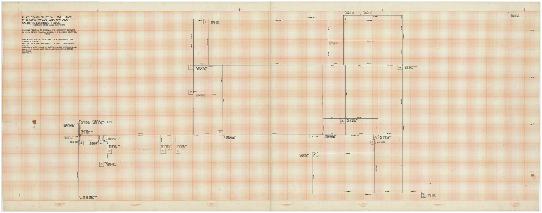
Plat Compiled by W. J. Williams, Plainview, Texas, and Sylvan Sanders, Lubbock, Texas Showing Position of Original and Re-Survey Corners in Lynn, Terry, Yoakum, Gaines and Dawson Counties, Texas
Part of: Twichell Survey Records
![92508, [Block A31], Twichell Survey Records](https://historictexasmaps.com/wmedia_w700/maps/92508-1.tif.jpg)
[Blocks D3 and GP]
![91505, [Blocks D3 and GP], Twichell Survey Records](https://historictexasmaps.com/wmedia_w700/maps/91505-1.tif.jpg)
Print $20.00
- Digital $50.00
[Blocks D3 and GP]
Size 18.9 x 20.2 inches
Map/Doc 91505
Working Sketch in Eastland, Stephens, and Palo Pinto Cos.

Print $20.00
- Digital $50.00
Working Sketch in Eastland, Stephens, and Palo Pinto Cos.
Size 18.0 x 15.1 inches
Map/Doc 91975
Plat Showing Positions of Blocks S, I, and X02 and Unsurveyed Area

Print $20.00
- Digital $50.00
Plat Showing Positions of Blocks S, I, and X02 and Unsurveyed Area
1928
Size 12.0 x 12.6 inches
Map/Doc 92194
![91233, [Block R], Twichell Survey Records](https://historictexasmaps.com/wmedia_w700/maps/91233-1.tif.jpg)
Map of a Part of Lea County, New Mexico

Print $40.00
- Digital $50.00
Map of a Part of Lea County, New Mexico
Size 60.5 x 42.0 inches
Map/Doc 89910
Original Town of Nadine, Lea County, New Mexico

Print $20.00
- Digital $50.00
Original Town of Nadine, Lea County, New Mexico
Size 27.1 x 33.5 inches
Map/Doc 92420
EL&RR S2, HE&WT K3, Pt.L&SV K, C4 & C3

Print $20.00
- Digital $50.00
EL&RR S2, HE&WT K3, Pt.L&SV K, C4 & C3
Size 23.3 x 17.5 inches
Map/Doc 90416
[Blocks K3-K8, K11]
![90528, [Blocks K3-K8, K11], Twichell Survey Records](https://historictexasmaps.com/wmedia_w700/maps/90528-1.tif.jpg)
Print $3.00
- Digital $50.00
[Blocks K3-K8, K11]
Size 11.2 x 12.8 inches
Map/Doc 90528
[Southeast part of County near Jas. H. Price Survey]
![91888, [Southeast part of County near Jas. H. Price Survey], Twichell Survey Records](https://historictexasmaps.com/wmedia_w700/maps/91888-1.tif.jpg)
Print $20.00
- Digital $50.00
[Southeast part of County near Jas. H. Price Survey]
Size 19.3 x 19.3 inches
Map/Doc 91888
Plat in Pecos County, Texas

Print $20.00
- Digital $50.00
Plat in Pecos County, Texas
Size 32.8 x 23.2 inches
Map/Doc 91613
[Survey 321, Double Lakes Area Northwest of Tohoka]
![91347, [Survey 321, Double Lakes Area Northwest of Tohoka], Twichell Survey Records](https://historictexasmaps.com/wmedia_w700/maps/91347-1.tif.jpg)
Print $20.00
- Digital $50.00
[Survey 321, Double Lakes Area Northwest of Tohoka]
Size 35.0 x 32.2 inches
Map/Doc 91347
You may also like
Bandera County Working Sketch 45

Print $20.00
- Digital $50.00
Bandera County Working Sketch 45
1981
Size 42.4 x 35.5 inches
Map/Doc 67641

Sutton County Sketch File 27a

Print $6.00
- Digital $50.00
Sutton County Sketch File 27a
Size 11.3 x 8.8 inches
Map/Doc 37466
Galveston Bay, Texas

Print $20.00
- Digital $50.00
Galveston Bay, Texas
1905
Size 24.8 x 18.5 inches
Map/Doc 65390
[William Steele Survey near Copano Bay]
![60284, [William Steele Survey near Copano Bay], General Map Collection](https://historictexasmaps.com/wmedia_w700/maps/60284-1.tif.jpg)
Print $3.00
- Digital $50.00
[William Steele Survey near Copano Bay]
1927
Size 15.5 x 9.5 inches
Map/Doc 60284
Jasper County

Print $40.00
- Digital $50.00
Jasper County
1946
Size 48.6 x 42.9 inches
Map/Doc 73192
Reeves County Working Sketch 36

Print $20.00
- Digital $50.00
Reeves County Working Sketch 36
1970
Size 43.1 x 35.0 inches
Map/Doc 63479
Flight Mission No. CRC-3R, Frame 98, Chambers County

Print $20.00
- Digital $50.00
Flight Mission No. CRC-3R, Frame 98, Chambers County
1956
Size 18.7 x 22.5 inches
Map/Doc 84836
Houston County Working Sketch 38

Print $20.00
- Digital $50.00
Houston County Working Sketch 38
2008
Size 37.8 x 36.2 inches
Map/Doc 88813
Flight Mission No. DQO-3K, Frame 37, Galveston County

Print $20.00
- Digital $50.00
Flight Mission No. DQO-3K, Frame 37, Galveston County
1952
Size 18.7 x 22.6 inches
Map/Doc 85078
Translations & Index to Field Notes of Spanish Titles, Vol. 1

Translations & Index to Field Notes of Spanish Titles, Vol. 1
1940
Map/Doc 94551
San Saba County Working Sketch 14

Print $20.00
- Digital $50.00
San Saba County Working Sketch 14
1998
Size 29.0 x 42.8 inches
Map/Doc 63802