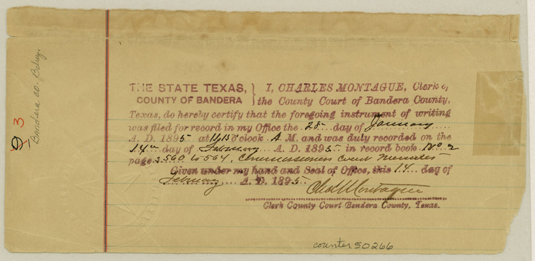
Bandera County Boundary File 3
-
Map/Doc
50266
-
Collection
General Map Collection
-
Counties
Bandera
-
Subjects
County Boundaries
-
Height x Width
4.3 x 8.8 inches
10.9 x 22.4 cm
Part of: General Map Collection
Palo Pinto County Rolled Sketch 14A

Print $20.00
- Digital $50.00
Palo Pinto County Rolled Sketch 14A
1993
Size 21.8 x 28.2 inches
Map/Doc 7195
Comal County Rolled Sketch 5

Print $20.00
- Digital $50.00
Comal County Rolled Sketch 5
1985
Size 30.6 x 26.7 inches
Map/Doc 5540
Fannin County Working Sketch 4

Print $20.00
- Digital $50.00
Fannin County Working Sketch 4
1925
Size 24.6 x 31.4 inches
Map/Doc 69158
Map showing the line of march of the Centre Division, Army of Mexico, under the command of Brigr. Genl. John E. Wool, from San Antonio de Bexar, Texas to Saltillo, Mexico

Print $20.00
- Digital $50.00
Map showing the line of march of the Centre Division, Army of Mexico, under the command of Brigr. Genl. John E. Wool, from San Antonio de Bexar, Texas to Saltillo, Mexico
1846
Size 24.5 x 19.5 inches
Map/Doc 94074
Map of Cherokee County

Print $20.00
- Digital $50.00
Map of Cherokee County
1851
Size 24.6 x 18.3 inches
Map/Doc 3386
Gonzales County Working Sketch 7

Print $20.00
- Digital $50.00
Gonzales County Working Sketch 7
1981
Size 19.1 x 17.0 inches
Map/Doc 63223
Crockett County Sketch File 35d

Print $10.00
- Digital $50.00
Crockett County Sketch File 35d
Size 14.2 x 8.9 inches
Map/Doc 19750
Jefferson County Sketch File 33

Print $32.00
- Digital $50.00
Jefferson County Sketch File 33
1934
Size 8.2 x 7.6 inches
Map/Doc 28197
Flight Mission No. DAG-24K, Frame 127, Matagorda County

Print $20.00
- Digital $50.00
Flight Mission No. DAG-24K, Frame 127, Matagorda County
1953
Size 18.5 x 22.2 inches
Map/Doc 86545
Connected Map of Austin's Colony

Print $40.00
- Digital $50.00
Connected Map of Austin's Colony
1837
Size 93.2 x 43.7 inches
Map/Doc 93377
Bandera County

Print $40.00
- Digital $50.00
Bandera County
1947
Size 33.9 x 54.9 inches
Map/Doc 73075
[Surveys along the Trinity River, Bois d'Arc Creek and White Rock Lake]
![256, [Surveys along the Trinity River, Bois d'Arc Creek and White Rock Lake], General Map Collection](https://historictexasmaps.com/wmedia_w700/maps/256.tif.jpg)
Print $2.00
- Digital $50.00
[Surveys along the Trinity River, Bois d'Arc Creek and White Rock Lake]
Size 10.8 x 6.7 inches
Map/Doc 256
You may also like
Donley County Sketch File 5

Print $14.00
- Digital $50.00
Donley County Sketch File 5
Size 12.9 x 8.5 inches
Map/Doc 21223
Live Oak County Sketch File 31

Print $30.00
- Digital $50.00
Live Oak County Sketch File 31
1935
Size 36.0 x 32.5 inches
Map/Doc 10528
Newton County Working Sketch 36

Print $20.00
- Digital $50.00
Newton County Working Sketch 36
1960
Size 29.9 x 39.1 inches
Map/Doc 71282
Houston Ship Channel, Atkinson Island to Alexander Island

Print $20.00
- Digital $50.00
Houston Ship Channel, Atkinson Island to Alexander Island
1960
Size 33.2 x 44.0 inches
Map/Doc 69900
Pecos County Working Sketch 41

Print $20.00
- Digital $50.00
Pecos County Working Sketch 41
1942
Size 19.0 x 31.7 inches
Map/Doc 71513
Working Sketch of surveys in Mason, Kimble & Menard Counties

Print $20.00
- Digital $50.00
Working Sketch of surveys in Mason, Kimble & Menard Counties
1900
Size 32.1 x 42.4 inches
Map/Doc 75805
Supreme Court of the United States, October Term, 1923, No. 15, Original - The State of Oklahoma, Complainant vs. The State of Texas, Defendant, The United States, Intervener; Report of the Boundary Commissioners

Print $20.00
- Digital $50.00
Supreme Court of the United States, October Term, 1923, No. 15, Original - The State of Oklahoma, Complainant vs. The State of Texas, Defendant, The United States, Intervener; Report of the Boundary Commissioners
1923
Size 39.4 x 39.6 inches
Map/Doc 75116
Flight Mission No. DCL-6C, Frame 68, Kenedy County

Print $20.00
- Digital $50.00
Flight Mission No. DCL-6C, Frame 68, Kenedy County
1943
Size 18.6 x 22.4 inches
Map/Doc 85910
Flight Mission No. BRE-2P, Frame 138, Nueces County

Print $20.00
- Digital $50.00
Flight Mission No. BRE-2P, Frame 138, Nueces County
1956
Size 18.5 x 22.2 inches
Map/Doc 86811
Millennium in Maps - Exploration

Millennium in Maps - Exploration
Size 20.6 x 31.5 inches
Map/Doc 95931
Hopkins County Sketch File 16a

Print $4.00
- Digital $50.00
Hopkins County Sketch File 16a
Size 12.1 x 7.6 inches
Map/Doc 26715
