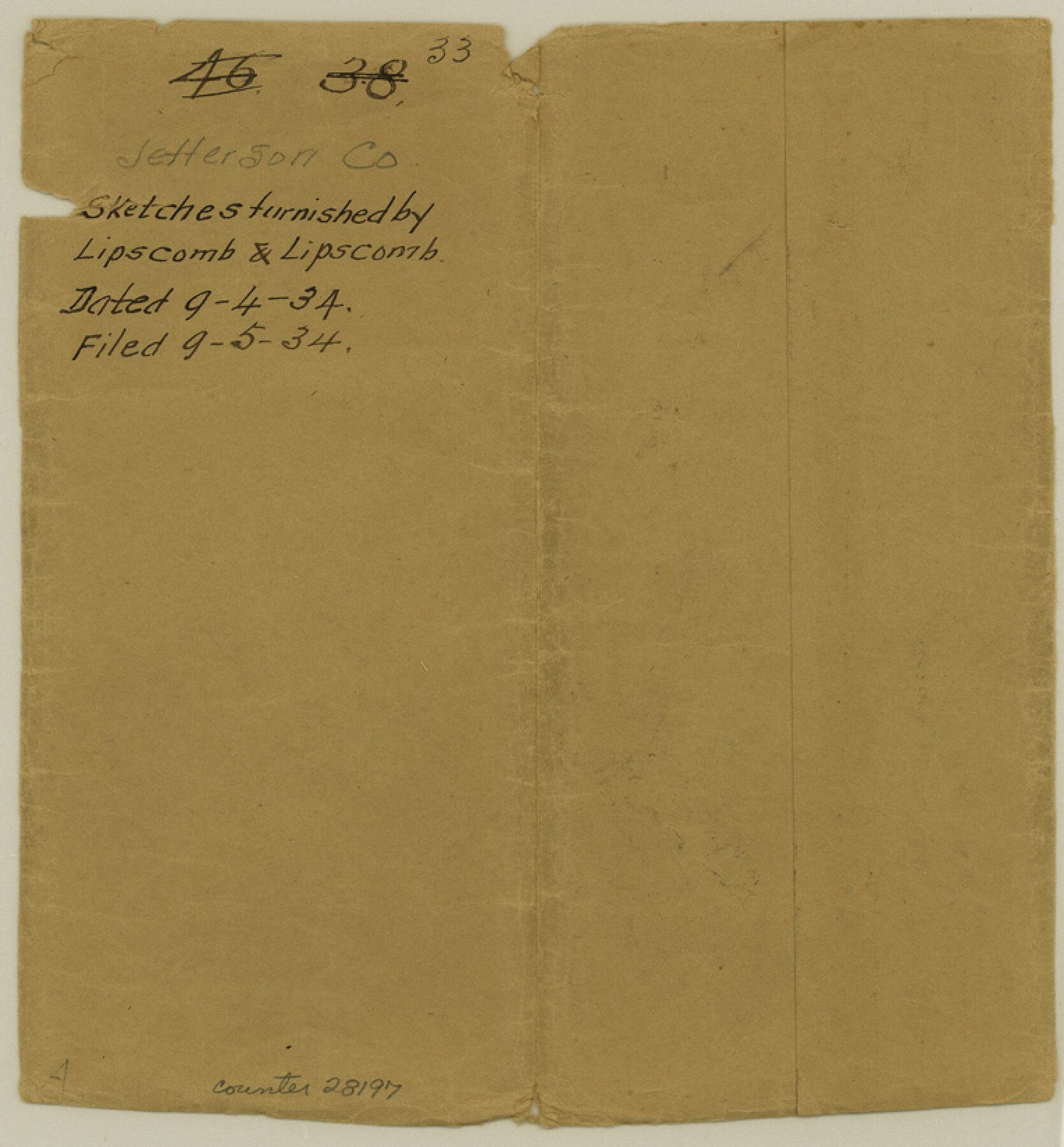
Jefferson County Sketch File 33
Plat according to field notes ofJohn McGaffey league and connected surveys Jefferson Co., Texas
-
Map/Doc
28197
-
Collection
General Map Collection
-
Object Dates
9/4/1934 (Creation Date)
9/5/1934 (File Date)
9/4/1934 (Correspondence Date)
2/20/1881 (Survey Date)
3/16/1881 (Survey Date)
6/29/1932 (Creation Date)
-
People and Organizations
James Ingalls (Surveyor/Engineer)
Forrest Daniell (Surveyor/Engineer)
-
Counties
Jefferson
-
Subjects
Surveying Sketch File
-
Height x Width
8.2 x 7.6 inches
20.8 x 19.3 cm
-
Medium
multi-page, multi-format
-
Scale
1" = 1000 varas
-
Features
Sabine Pass
Taylor's Bayou
Sabine Lake
Part of: General Map Collection
Crane County Sketch File 30

Print $40.00
- Digital $50.00
Crane County Sketch File 30
1933
Size 14.0 x 8.4 inches
Map/Doc 19610
Jefferson County Working Sketch 29

Print $40.00
- Digital $50.00
Jefferson County Working Sketch 29
1977
Size 52.4 x 42.7 inches
Map/Doc 66572
Flight Mission No. DAG-17K, Frame 78, Matagorda County

Print $20.00
- Digital $50.00
Flight Mission No. DAG-17K, Frame 78, Matagorda County
1952
Size 18.7 x 22.4 inches
Map/Doc 86337
Fractional Township No. 9 South Range No. 11 East of the Indian Meridian, Indian Territory

Print $20.00
- Digital $50.00
Fractional Township No. 9 South Range No. 11 East of the Indian Meridian, Indian Territory
1898
Size 19.3 x 24.4 inches
Map/Doc 75220
Kinney County Sketch File 29

Print $20.00
- Digital $50.00
Kinney County Sketch File 29
1933
Size 15.5 x 21.1 inches
Map/Doc 11947
Flight Mission No. DQN-1K, Frame 112, Calhoun County

Print $20.00
- Digital $50.00
Flight Mission No. DQN-1K, Frame 112, Calhoun County
1953
Size 18.6 x 22.3 inches
Map/Doc 84179
Armstrong County Working Sketch 7

Print $20.00
- Digital $50.00
Armstrong County Working Sketch 7
Size 18.1 x 16.4 inches
Map/Doc 67238
Nolan County Rolled Sketch W

Print $20.00
- Digital $50.00
Nolan County Rolled Sketch W
1902
Size 16.5 x 38.0 inches
Map/Doc 6863
Dallam County

Print $20.00
- Digital $50.00
Dallam County
1901
Size 43.8 x 29.3 inches
Map/Doc 93458
Shelby County Working Sketch 1

Print $20.00
- Digital $50.00
Shelby County Working Sketch 1
1917
Size 26.2 x 30.0 inches
Map/Doc 63854
Houston County Rolled Sketch 12

Print $20.00
- Digital $50.00
Houston County Rolled Sketch 12
Size 11.8 x 18.1 inches
Map/Doc 95396
Fayette County Sketch File 6

Print $114.00
- Digital $50.00
Fayette County Sketch File 6
1981
Size 14.9 x 9.5 inches
Map/Doc 22508
You may also like
[Sketch N, showing H. & G. N. Block 7, and Blocks C-1 through C-5]
![91768, [Sketch N, showing H. & G. N. Block 7, and Blocks C-1 through C-5], Twichell Survey Records](https://historictexasmaps.com/wmedia_w700/maps/91768-1.tif.jpg)
Print $20.00
- Digital $50.00
[Sketch N, showing H. & G. N. Block 7, and Blocks C-1 through C-5]
Size 14.6 x 16.7 inches
Map/Doc 91768
Presidio County Rolled Sketch BB

Print $20.00
- Digital $50.00
Presidio County Rolled Sketch BB
1937
Size 26.3 x 27.1 inches
Map/Doc 7407
Crockett County Working Sketch 82

Print $40.00
- Digital $50.00
Crockett County Working Sketch 82
1973
Size 34.9 x 49.7 inches
Map/Doc 68415
Map of north end of Brazos Island

Print $20.00
- Digital $50.00
Map of north end of Brazos Island
Size 27.5 x 18.4 inches
Map/Doc 72905
The United States of Mexico

Print $20.00
- Digital $50.00
The United States of Mexico
1832
Size 15.4 x 12.8 inches
Map/Doc 93952
Section 77, Block "A", Sylvan Sanders Survey

Print $20.00
- Digital $50.00
Section 77, Block "A", Sylvan Sanders Survey
1953
Size 24.7 x 16.0 inches
Map/Doc 92716
Waller County Working Sketch 2

Print $20.00
- Digital $50.00
Waller County Working Sketch 2
1955
Size 19.5 x 18.8 inches
Map/Doc 72301
[Map of Coahuila and Nuevo Leon]
![97128, [Map of Coahuila and Nuevo Leon], General Map Collection](https://historictexasmaps.com/wmedia_w700/maps/97128.tif.jpg)
Print $20.00
- Digital $50.00
[Map of Coahuila and Nuevo Leon]
1873
Size 16.8 x 11.6 inches
Map/Doc 97128
![92632, [League 280], Twichell Survey Records](https://historictexasmaps.com/wmedia_w700/maps/92632-1.tif.jpg)
Map of Calhoun County

Print $20.00
- Digital $50.00
Map of Calhoun County
1863
Size 23.0 x 19.5 inches
Map/Doc 887
Flight Mission No. BRA-7M, Frame 36, Jefferson County

Print $20.00
- Digital $50.00
Flight Mission No. BRA-7M, Frame 36, Jefferson County
1953
Size 18.7 x 22.3 inches
Map/Doc 85487
Jeff Davis Co.

Print $20.00
- Digital $50.00
Jeff Davis Co.
1887
Size 37.5 x 47.9 inches
Map/Doc 4991