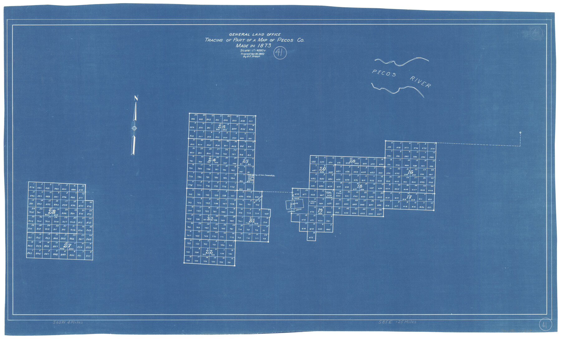
Pecos County Working Sketch 41
Tracing of part of a map of Pecos Co. made in 1873
-
Map/Doc
71513
-
Collection
General Map Collection
-
Object Dates
4/30/1942 (Creation Date)
-
People and Organizations
B.F. Priest (Tracer)
-
Counties
Pecos
-
Subjects
Surveying Working Sketch
-
Height x Width
19.0 x 31.7 inches
48.3 x 80.5 cm
-
Scale
1" = 4000 varas
Part of: General Map Collection
Haskell County Working Sketch 13

Print $20.00
- Digital $50.00
Haskell County Working Sketch 13
1983
Size 33.0 x 41.8 inches
Map/Doc 66071
Map Location of the Pecos & Northern Texas Railway from [illegible] through Deaf Smith County
![64180, Map Location of the Pecos & Northern Texas Railway from [illegible] through Deaf Smith County, General Map Collection](https://historictexasmaps.com/wmedia_w700/maps/64180-1.tif.jpg)
Print $40.00
- Digital $50.00
Map Location of the Pecos & Northern Texas Railway from [illegible] through Deaf Smith County
Size 16.3 x 71.8 inches
Map/Doc 64180
Bastrop County Sketch File 4

Print $4.00
- Digital $50.00
Bastrop County Sketch File 4
1873
Size 12.7 x 7.9 inches
Map/Doc 14046
Brazoria County Working Sketch 8

Print $20.00
- Digital $50.00
Brazoria County Working Sketch 8
1932
Size 25.9 x 21.5 inches
Map/Doc 67493
Madison County Rolled Sketch 1

Print $20.00
- Digital $50.00
Madison County Rolled Sketch 1
1966
Size 36.7 x 46.0 inches
Map/Doc 9485
Topographical Map of the Rio Grande from Roma to the Gulf of Mexico, Index Map, Sheet No. 2

Print $20.00
- Digital $50.00
Topographical Map of the Rio Grande from Roma to the Gulf of Mexico, Index Map, Sheet No. 2
1912
Map/Doc 89524
Stephens County Working Sketch 16

Print $20.00
- Digital $50.00
Stephens County Working Sketch 16
1968
Size 21.4 x 30.4 inches
Map/Doc 63959
Lubbock County Working Sketch 5

Print $20.00
- Digital $50.00
Lubbock County Working Sketch 5
1950
Size 14.3 x 31.0 inches
Map/Doc 70665
Texas Coordinate File 3

Print $40.00
- Digital $50.00
Texas Coordinate File 3
Size 36.1 x 49.1 inches
Map/Doc 75306
Val Verde County Working Sketch 88

Print $20.00
- Digital $50.00
Val Verde County Working Sketch 88
1973
Size 29.0 x 36.9 inches
Map/Doc 72223
Flight Mission No. DAG-23K, Frame 146, Matagorda County

Print $20.00
- Digital $50.00
Flight Mission No. DAG-23K, Frame 146, Matagorda County
1953
Size 17.0 x 22.4 inches
Map/Doc 86494
Flight Mission No. DAG-24K, Frame 41, Matagorda County

Print $20.00
- Digital $50.00
Flight Mission No. DAG-24K, Frame 41, Matagorda County
1953
Size 18.5 x 22.4 inches
Map/Doc 86528
You may also like

Harris County Rolled Sketch 93

Print $20.00
- Digital $50.00
Harris County Rolled Sketch 93
1983
Size 45.0 x 40.2 inches
Map/Doc 9142
Goliad County Working Sketch 23

Print $20.00
- Digital $50.00
Goliad County Working Sketch 23
1979
Size 26.8 x 32.9 inches
Map/Doc 63213
Flight Mission No. DIX-5P, Frame 105, Aransas County

Print $20.00
- Digital $50.00
Flight Mission No. DIX-5P, Frame 105, Aransas County
1956
Size 17.7 x 17.8 inches
Map/Doc 83783
Edwards County Rolled Sketch 34

Print $20.00
- Digital $50.00
Edwards County Rolled Sketch 34
1994
Size 18.0 x 33.5 inches
Map/Doc 5816
McMullen County Sketch File 7

Print $40.00
- Digital $50.00
McMullen County Sketch File 7
1859
Size 19.1 x 11.6 inches
Map/Doc 31347
Brewster County Rolled Sketch C

Print $40.00
- Digital $50.00
Brewster County Rolled Sketch C
Size 39.0 x 71.8 inches
Map/Doc 8466
Real County Working Sketch 43

Print $20.00
- Digital $50.00
Real County Working Sketch 43
1953
Size 32.4 x 30.5 inches
Map/Doc 71935
English Field Notes of the Spanish Archives - Book SAW

English Field Notes of the Spanish Archives - Book SAW
1834
Map/Doc 96544
Eastland County Working Sketch 37

Print $20.00
- Digital $50.00
Eastland County Working Sketch 37
1967
Size 23.7 x 18.1 inches
Map/Doc 68818
Pecos County Rolled Sketch 106

Print $40.00
- Digital $50.00
Pecos County Rolled Sketch 106
1940
Size 45.1 x 58.4 inches
Map/Doc 9718
Schleicher County Sketch File 44

Print $4.00
- Digital $50.00
Schleicher County Sketch File 44
1950
Size 8.9 x 14.4 inches
Map/Doc 36550