Jim Hogg Co. [and] Brooks Co.
-
Map/Doc
4756
-
Collection
General Map Collection
-
Object Dates
1913 (Creation Date)
-
People and Organizations
Texas General Land Office (Publisher)
H.F. McDonald (Draftsman)
H.F. McDonald (Compiler)
-
Counties
Jim Hogg Brooks
-
Subjects
County
-
Height x Width
31.8 x 41.8 inches
80.8 x 106.2 cm
-
Comments
Shows both Jim Hogg and Brooks Counties.
Conservation funded in 2002 with donation from the Republic Royalty Company. -
Features
Baluarte Creek
Poso
Cuevitas
Agua Nueva
Encino del Poso
Randado
Alta Vista
Jarita Lake
Los Olmos Creek
Flowella
Laguna de Loma Blanca
Falfurrias
Hebronville
San Antonio Creek
Palo Blanco Creek
Charco Redondo
Laborcitas Creek
Jaboncillas Creek
Copita
SA&AP
Premont
Cibolo Creek
TMRR
Part of: General Map Collection
Brewster County Sketch File N-18
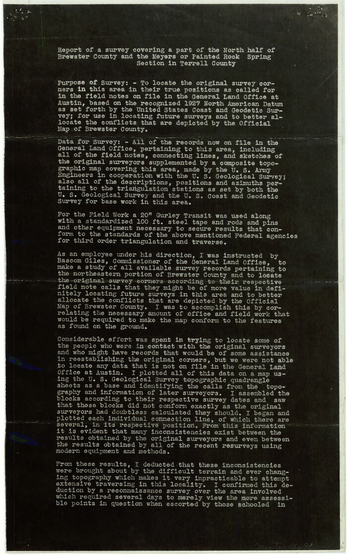

Print $14.00
- Digital $50.00
Brewster County Sketch File N-18
1942
Size 14.2 x 8.9 inches
Map/Doc 15690
Flight Mission No. CRC-2R, Frame 110, Chambers County
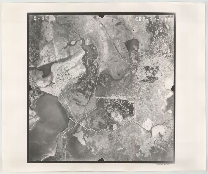

Print $20.00
- Digital $50.00
Flight Mission No. CRC-2R, Frame 110, Chambers County
1956
Size 18.6 x 22.3 inches
Map/Doc 84737
Crosby County Working Sketch 9
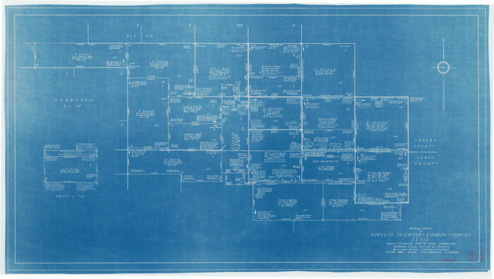

Print $20.00
- Digital $50.00
Crosby County Working Sketch 9
1943
Size 19.8 x 35.2 inches
Map/Doc 68443
Cooke County Working Sketch 23
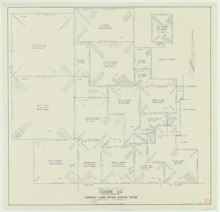

Print $20.00
- Digital $50.00
Cooke County Working Sketch 23
1969
Size 32.1 x 33.4 inches
Map/Doc 68260
McMullen County Working Sketch 41
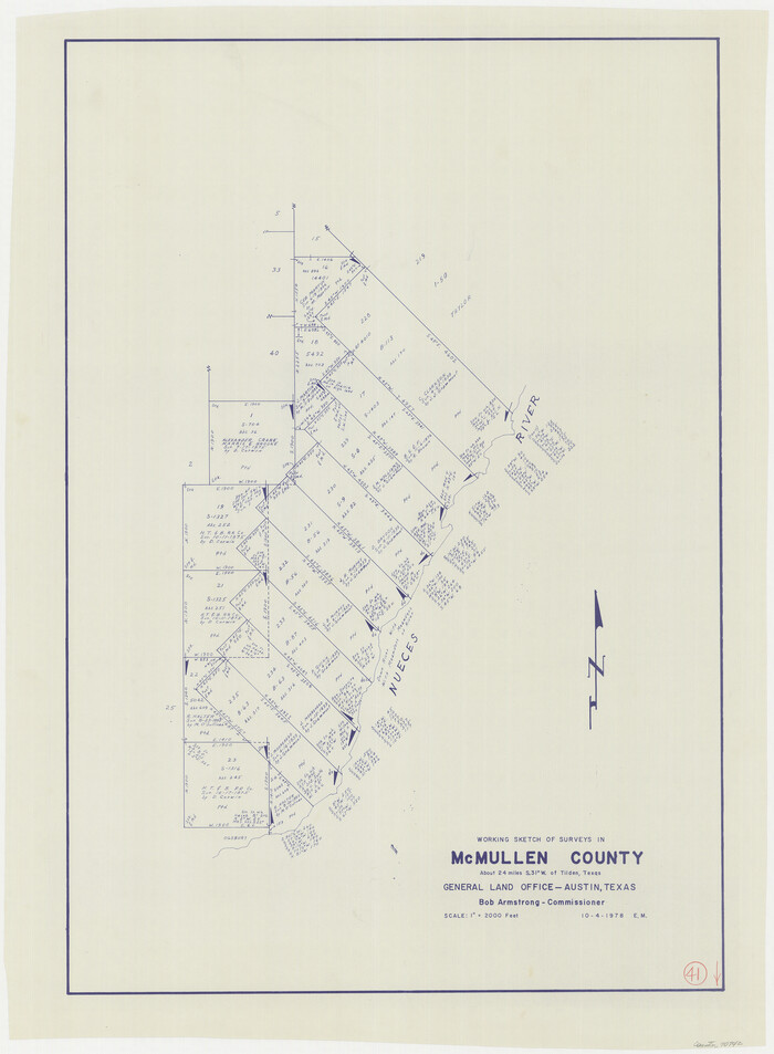

Print $20.00
- Digital $50.00
McMullen County Working Sketch 41
1978
Size 32.5 x 23.9 inches
Map/Doc 70742
Falls County Sketch File 31


Print $4.00
- Digital $50.00
Falls County Sketch File 31
1881
Size 14.5 x 8.8 inches
Map/Doc 22439
[Surveys in Austin's Colony along New Year's Creek and the Navidad River]
![212, [Surveys in Austin's Colony along New Year's Creek and the Navidad River], General Map Collection](https://historictexasmaps.com/wmedia_w700/maps/212.tif.jpg)
![212, [Surveys in Austin's Colony along New Year's Creek and the Navidad River], General Map Collection](https://historictexasmaps.com/wmedia_w700/maps/212.tif.jpg)
Print $20.00
- Digital $50.00
[Surveys in Austin's Colony along New Year's Creek and the Navidad River]
Size 20.2 x 15.6 inches
Map/Doc 212
County and Railroad Map of Texas


Print $20.00
- Digital $50.00
County and Railroad Map of Texas
1876
Size 17.0 x 16.0 inches
Map/Doc 93624
Newton County Working Sketch 1


Print $20.00
- Digital $50.00
Newton County Working Sketch 1
Size 25.5 x 25.9 inches
Map/Doc 71247
San Patricio County Rolled Sketch 46A


Print $2.00
- Digital $50.00
San Patricio County Rolled Sketch 46A
1983
Size 8.3 x 10.3 inches
Map/Doc 8372
Rio Grande, Hargill Sheet
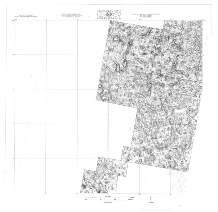

Print $20.00
- Digital $50.00
Rio Grande, Hargill Sheet
1935
Size 37.1 x 38.1 inches
Map/Doc 65121
You may also like
Upshur County Sketch File 2a
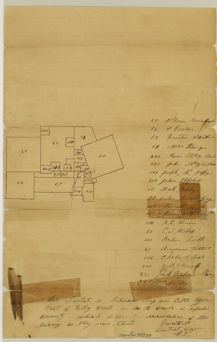

Print $4.00
- Digital $50.00
Upshur County Sketch File 2a
Size 12.9 x 8.2 inches
Map/Doc 38734
Current Miscellaneous File 89


Print $4.00
- Digital $50.00
Current Miscellaneous File 89
Size 12.1 x 8.9 inches
Map/Doc 74253
Missouri, Kansas & Texas Ry. thro' Denison and the beautiful Indian Territory
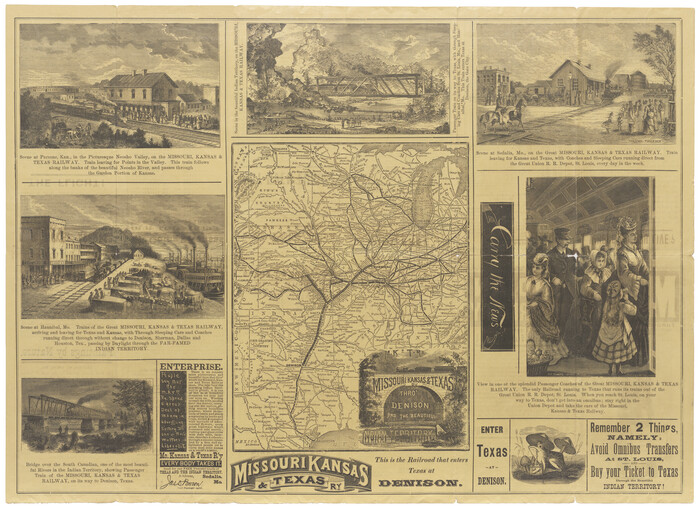

Print $20.00
- Digital $50.00
Missouri, Kansas & Texas Ry. thro' Denison and the beautiful Indian Territory
1877
Size 15.7 x 21.7 inches
Map/Doc 95805
Current Miscellaneous File 65


Print $8.00
- Digital $50.00
Current Miscellaneous File 65
Size 11.2 x 8.6 inches
Map/Doc 74109
Part of Garza, Crosby, Lynn and Lubbock Counties
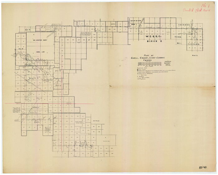

Print $20.00
- Digital $50.00
Part of Garza, Crosby, Lynn and Lubbock Counties
1912
Size 24.6 x 19.8 inches
Map/Doc 90907
Stephens County Sketch File 10


Print $4.00
- Digital $50.00
Stephens County Sketch File 10
Size 10.8 x 8.4 inches
Map/Doc 37042
Jeff Davis County Working Sketch 44
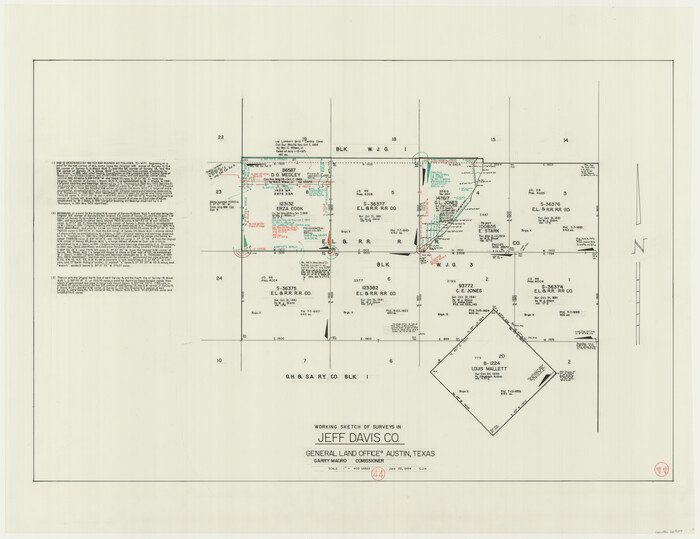

Print $20.00
- Digital $50.00
Jeff Davis County Working Sketch 44
1984
Size 28.8 x 37.4 inches
Map/Doc 66539
San Augustine County Sketch File 7


Print $4.00
San Augustine County Sketch File 7
1858
Size 7.0 x 8.2 inches
Map/Doc 35646
Travis County State Real Property Sketch 1
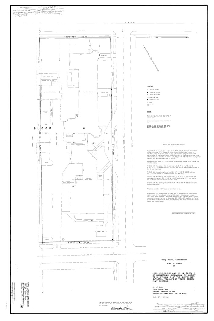

Print $20.00
- Digital $50.00
Travis County State Real Property Sketch 1
1985
Size 34.9 x 23.3 inches
Map/Doc 61691
Pecos County Working Sketch 3
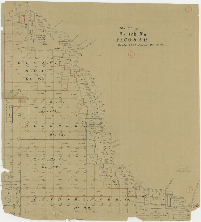

Print $20.00
- Digital $50.00
Pecos County Working Sketch 3
1927
Map/Doc 71473
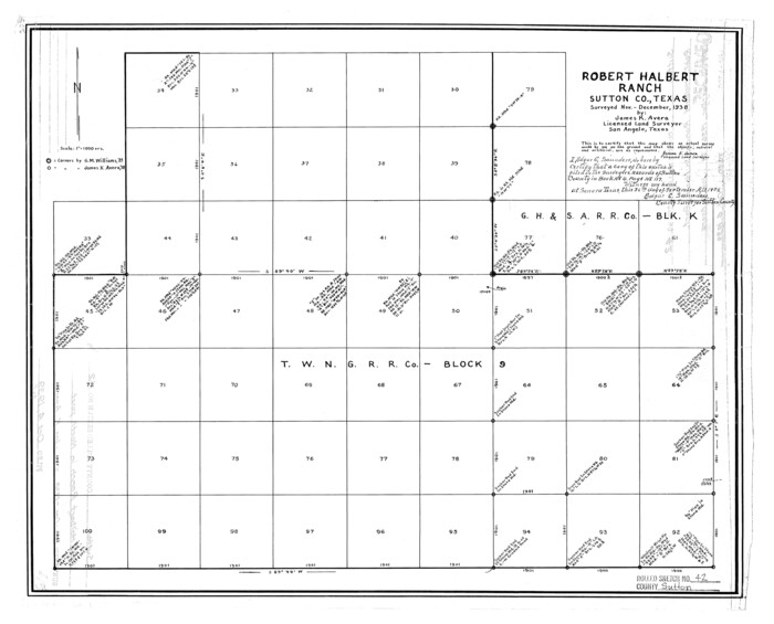
Sutton County Rolled Sketch 42

Print $20.00
- Digital $50.00
Sutton County Rolled Sketch 42
Size 16.2 x 20.1 inches
Map/Doc 7884
![4756, Jim Hogg Co. [and] Brooks Co., General Map Collection](https://historictexasmaps.com/wmedia_w1800h1800/maps/4756.tif.jpg)

