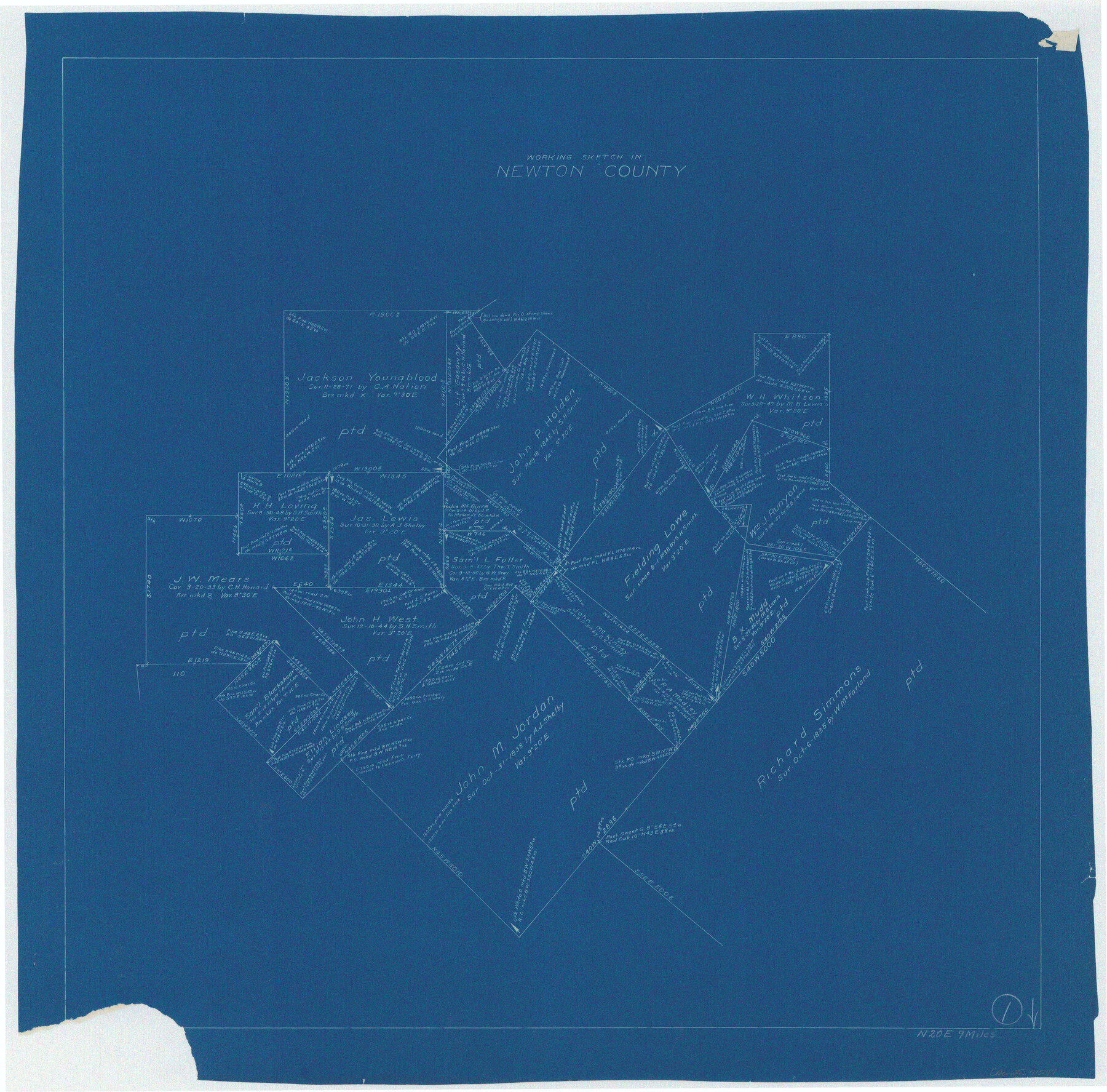
Newton County Working Sketch 1
-
Map/Doc
71247
-
Collection
General Map Collection
-
Counties
Newton
-
Subjects
Surveying Working Sketch
-
Height x Width
25.5 x 25.9 inches
64.8 x 65.8 cm
Part of: General Map Collection
Red River County Sketch File 21

Print $4.00
- Digital $50.00
Red River County Sketch File 21
Size 12.7 x 7.9 inches
Map/Doc 35154
Culberson County Working Sketch 54

Print $20.00
- Digital $50.00
Culberson County Working Sketch 54
1974
Size 26.4 x 32.6 inches
Map/Doc 68508
Hemphill County Working Sketch 10

Print $20.00
- Digital $50.00
Hemphill County Working Sketch 10
1965
Size 23.5 x 35.7 inches
Map/Doc 66105
Hardin County Sketch File 47

Print $4.00
- Digital $50.00
Hardin County Sketch File 47
1875
Size 7.2 x 7.2 inches
Map/Doc 25200
Reagan County Working Sketch 5

Print $20.00
- Digital $50.00
Reagan County Working Sketch 5
1924
Size 19.2 x 19.5 inches
Map/Doc 71845
Flight Mission No. DQO-7K, Frame 85, Galveston County

Print $20.00
- Digital $50.00
Flight Mission No. DQO-7K, Frame 85, Galveston County
1952
Size 18.9 x 22.5 inches
Map/Doc 85112
Lavaca County Working Sketch 8

Print $20.00
- Digital $50.00
Lavaca County Working Sketch 8
1947
Size 14.7 x 15.9 inches
Map/Doc 70361
Collin County Working Sketch 5

Print $20.00
- Digital $50.00
Collin County Working Sketch 5
1992
Size 14.2 x 19.7 inches
Map/Doc 68099
Reagan County

Print $20.00
- Digital $50.00
Reagan County
1940
Size 41.6 x 31.4 inches
Map/Doc 77403
Wharton County Sketch File A1

Print $20.00
- Digital $50.00
Wharton County Sketch File A1
1895
Size 15.6 x 36.4 inches
Map/Doc 12669
Reagan County Working Sketch 1

Print $20.00
- Digital $50.00
Reagan County Working Sketch 1
1886
Size 25.0 x 27.3 inches
Map/Doc 71841
Sabine County Sketch File 1

Print $2.00
Sabine County Sketch File 1
Size 14.2 x 7.7 inches
Map/Doc 35601
You may also like
Leon County Sketch File 9a

Print $6.00
- Digital $50.00
Leon County Sketch File 9a
1863
Size 10.5 x 8.6 inches
Map/Doc 29728
Brooks County

Print $20.00
- Digital $50.00
Brooks County
1955
Size 42.6 x 34.6 inches
Map/Doc 95440
Tyler County Rolled Sketch 2

Print $20.00
- Digital $50.00
Tyler County Rolled Sketch 2
1944
Size 29.6 x 17.4 inches
Map/Doc 8056
Taylor County Sketch File 22

Print $189.00
- Digital $50.00
Taylor County Sketch File 22
1985
Size 14.6 x 8.9 inches
Map/Doc 37826
Val Verde County Sketch File 15 and 16

Print $60.00
- Digital $50.00
Val Verde County Sketch File 15 and 16
1883
Size 8.9 x 4.1 inches
Map/Doc 39207
[McLennan County School Leagues 3 and 4, Elizabeth Finley, Wm. Van Norman, Harvey Kendrick surveys and surveys to the west]
![90900, [McLennan County School Leagues 3 and 4, Elizabeth Finley, Wm. Van Norman, Harvey Kendrick surveys and surveys to the west], Twichell Survey Records](https://historictexasmaps.com/wmedia_w700/maps/90900-1.tif.jpg)
Print $20.00
- Digital $50.00
[McLennan County School Leagues 3 and 4, Elizabeth Finley, Wm. Van Norman, Harvey Kendrick surveys and surveys to the west]
Size 18.2 x 20.1 inches
Map/Doc 90900
Texas-United States Boundary Line 3

Print $40.00
- Digital $50.00
Texas-United States Boundary Line 3
Size 54.6 x 10.5 inches
Map/Doc 74979
Gillespie County Sketch File 3b

Print $4.00
- Digital $50.00
Gillespie County Sketch File 3b
1860
Size 8.2 x 12.6 inches
Map/Doc 24133
Navarro County Working Sketch 10

Print $20.00
- Digital $50.00
Navarro County Working Sketch 10
1960
Size 29.7 x 26.0 inches
Map/Doc 71240
Comal County Rolled Sketch 3

Print $20.00
- Digital $50.00
Comal County Rolled Sketch 3
1977
Size 19.0 x 17.3 inches
Map/Doc 5538
Duval County Working Sketch 55

Print $20.00
- Digital $50.00
Duval County Working Sketch 55
1936
Size 25.7 x 21.6 inches
Map/Doc 68779
[Oil and Gas Fields in West Texas]
![89884, [Oil and Gas Fields in West Texas], Twichell Survey Records](https://historictexasmaps.com/wmedia_w700/maps/89884-1.tif.jpg)
Print $40.00
- Digital $50.00
[Oil and Gas Fields in West Texas]
Size 38.5 x 59.2 inches
Map/Doc 89884