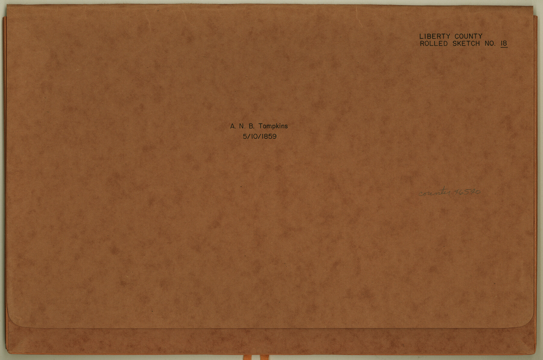
Liberty County Rolled Sketch 18
[Old sketches and sketch fragments]
-
Map/Doc
46540
-
Collection
General Map Collection
-
Object Dates
1859/5/10 (Creation Date)
-
People and Organizations
A.N.B. Tompkins (Surveyor/Engineer)
-
Counties
Liberty
-
Subjects
Surveying Rolled Sketch
-
Height x Width
10.1 x 15.2 inches
25.7 x 38.6 cm
-
Medium
paper, manuscript
Part of: General Map Collection
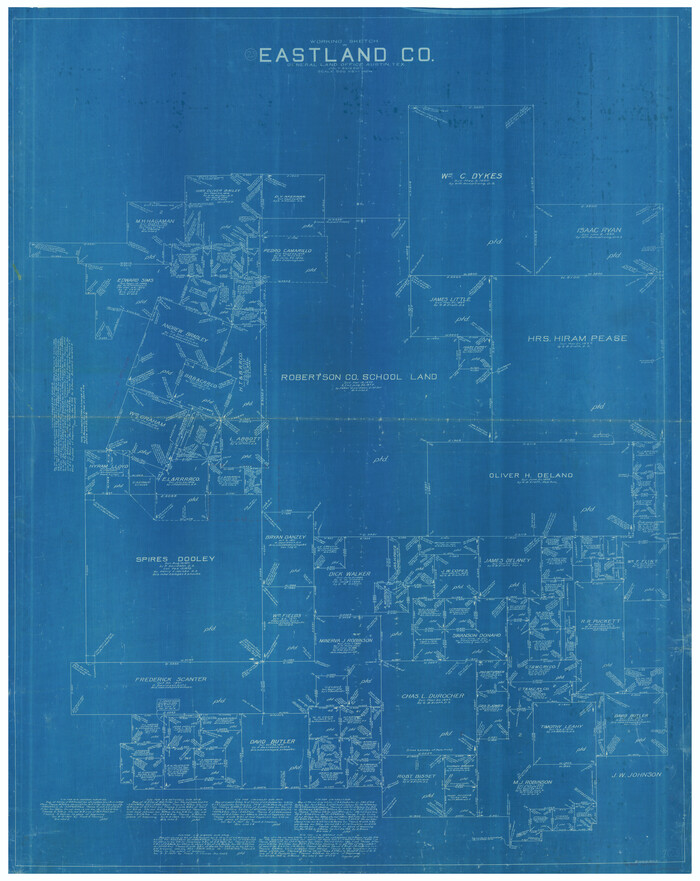
Eastland County Working Sketch 23

Print $40.00
- Digital $50.00
Eastland County Working Sketch 23
1920
Size 53.5 x 42.5 inches
Map/Doc 68804
[Cotton Belt, St. Louis Southwestern Railway of Texas, Alignment through Smith County]
![64375, [Cotton Belt, St. Louis Southwestern Railway of Texas, Alignment through Smith County], General Map Collection](https://historictexasmaps.com/wmedia_w700/maps/64375.tif.jpg)
![64375, [Cotton Belt, St. Louis Southwestern Railway of Texas, Alignment through Smith County], General Map Collection](https://historictexasmaps.com/wmedia_w700/maps/64375.tif.jpg)
Print $20.00
- Digital $50.00
[Cotton Belt, St. Louis Southwestern Railway of Texas, Alignment through Smith County]
1903
Size 21.3 x 28.5 inches
Map/Doc 64375
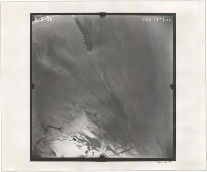
Flight Mission No. CRK-7P, Frame 131, Refugio County

Print $20.00
- Digital $50.00
Flight Mission No. CRK-7P, Frame 131, Refugio County
1956
Size 18.3 x 22.1 inches
Map/Doc 86954
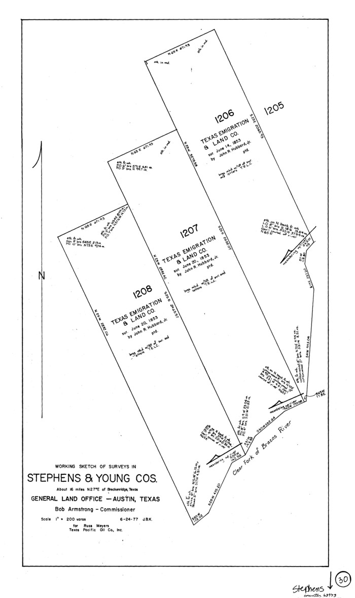
Stephens County Working Sketch 30

Print $20.00
- Digital $50.00
Stephens County Working Sketch 30
1977
Size 26.4 x 15.7 inches
Map/Doc 63973
Right of Way and Track Map, Houston & Texas Central R.R. operated by the T. and N. O. R.R., Fort Worth Branch


Print $40.00
- Digital $50.00
Right of Way and Track Map, Houston & Texas Central R.R. operated by the T. and N. O. R.R., Fort Worth Branch
1918
Size 30.9 x 56.9 inches
Map/Doc 64783
McMullen County Sketch File 25a

Print $22.00
- Digital $50.00
McMullen County Sketch File 25a
1877
Size 8.8 x 12.9 inches
Map/Doc 31386
Railroad Track Map, H&TCRRCo., Falls County, Texas
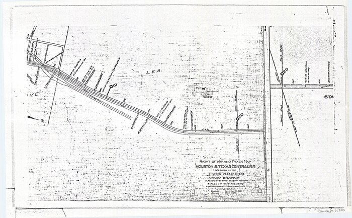

Print $4.00
- Digital $50.00
Railroad Track Map, H&TCRRCo., Falls County, Texas
1918
Size 11.5 x 18.6 inches
Map/Doc 62850
Nacogdoches County Rolled Sketch 3


Print $20.00
- Digital $50.00
Nacogdoches County Rolled Sketch 3
1985
Size 39.6 x 27.6 inches
Map/Doc 6837
Kimble County Working Sketch 14


Print $20.00
- Digital $50.00
Kimble County Working Sketch 14
1923
Size 17.2 x 13.2 inches
Map/Doc 70082
Brewster Co[unty]
![16947, Brewster Co[unty], General Map Collection](https://historictexasmaps.com/wmedia_w700/maps/16947.tif.jpg)
![16947, Brewster Co[unty], General Map Collection](https://historictexasmaps.com/wmedia_w700/maps/16947.tif.jpg)
Print $40.00
- Digital $50.00
Brewster Co[unty]
1904
Size 63.5 x 48.0 inches
Map/Doc 16947
Brewster County Working Sketch 71b
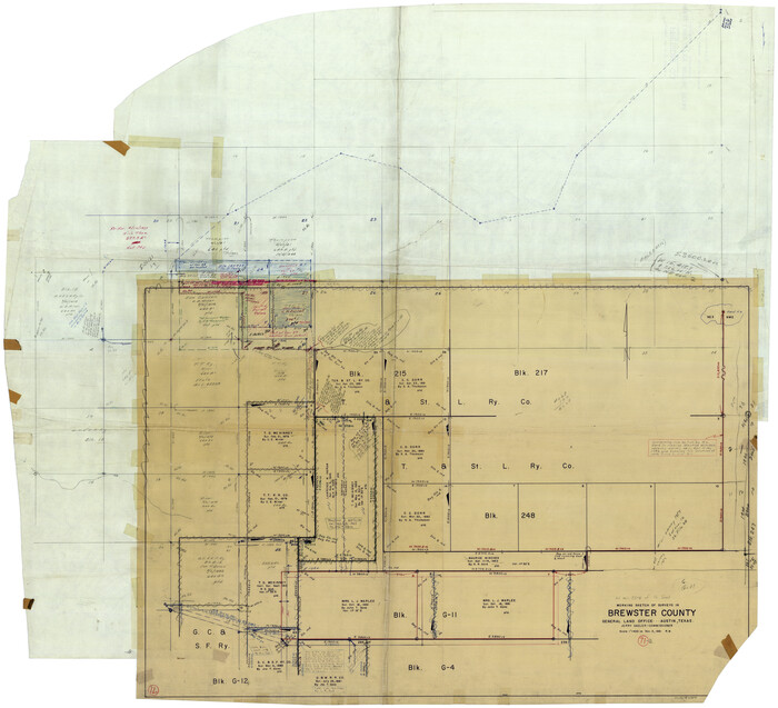

Print $40.00
- Digital $50.00
Brewster County Working Sketch 71b
1961
Size 50.6 x 55.0 inches
Map/Doc 67870
Lamar County Sketch File 5
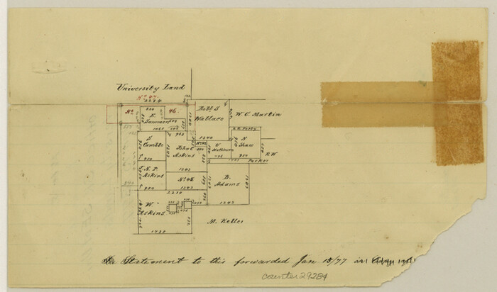

Print $4.00
- Digital $50.00
Lamar County Sketch File 5
1877
Size 4.8 x 8.1 inches
Map/Doc 29284
You may also like
Map of Comal County
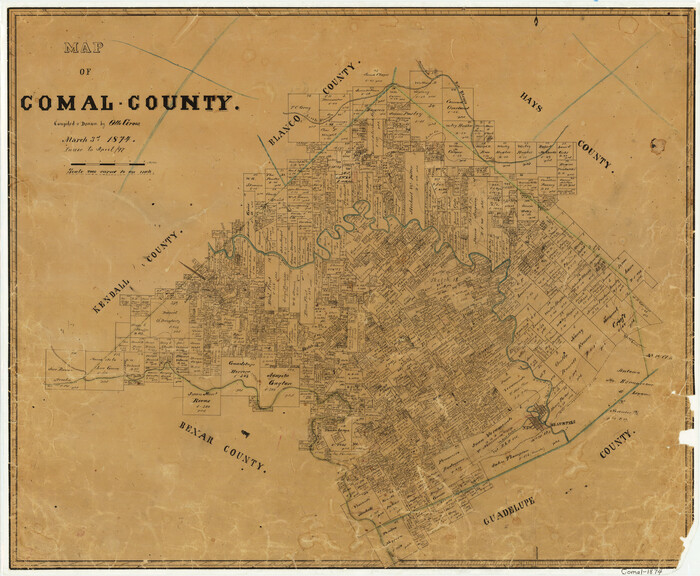

Print $20.00
- Digital $50.00
Map of Comal County
1874
Size 18.4 x 22.3 inches
Map/Doc 3428
Houston County Sketch File 8
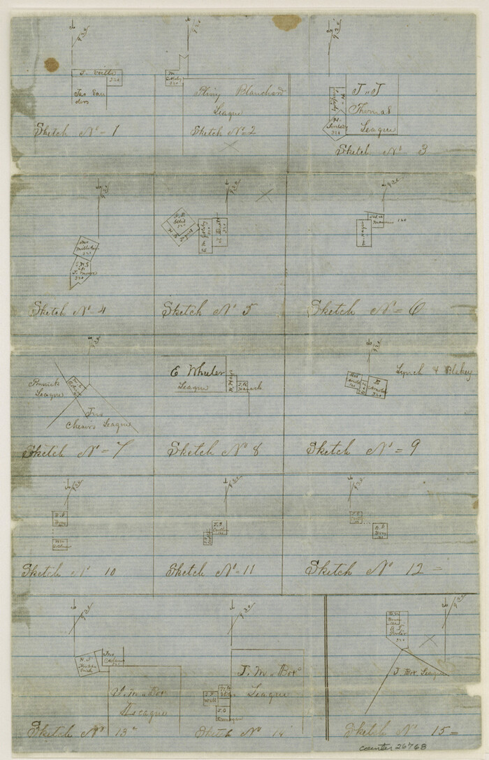

Print $22.00
- Digital $50.00
Houston County Sketch File 8
1858
Size 12.9 x 8.3 inches
Map/Doc 26768
DeWitt County Sketch File 5


Print $4.00
- Digital $50.00
DeWitt County Sketch File 5
1872
Size 13.0 x 8.3 inches
Map/Doc 20803
Wharton County Sketch File 3a


Print $4.00
- Digital $50.00
Wharton County Sketch File 3a
1875
Size 6.8 x 4.6 inches
Map/Doc 39917
Presidio County Rolled Sketch T-4
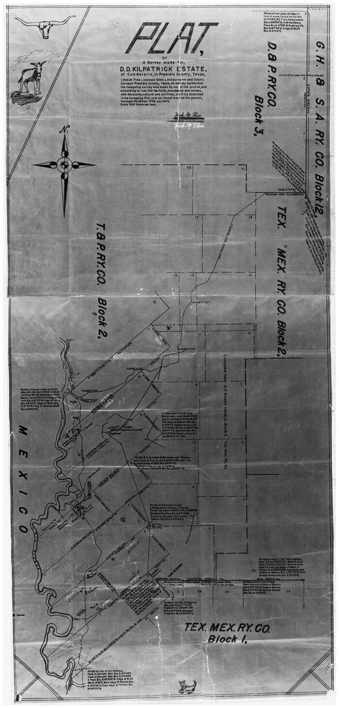

Print $20.00
- Digital $50.00
Presidio County Rolled Sketch T-4
1949
Size 32.1 x 15.7 inches
Map/Doc 7418
Duval County Rolled Sketch 11
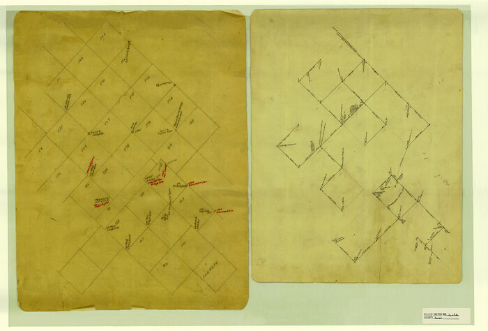

Print $20.00
- Digital $50.00
Duval County Rolled Sketch 11
Size 20.4 x 30.1 inches
Map/Doc 5733
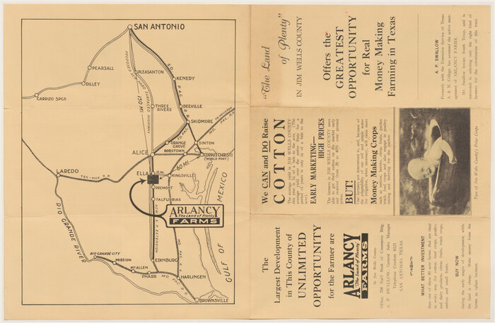
Arlancy the Land of Plenty Farms

Print $20.00
- Digital $50.00
Arlancy the Land of Plenty Farms
1925
Size 10.9 x 16.6 inches
Map/Doc 96737
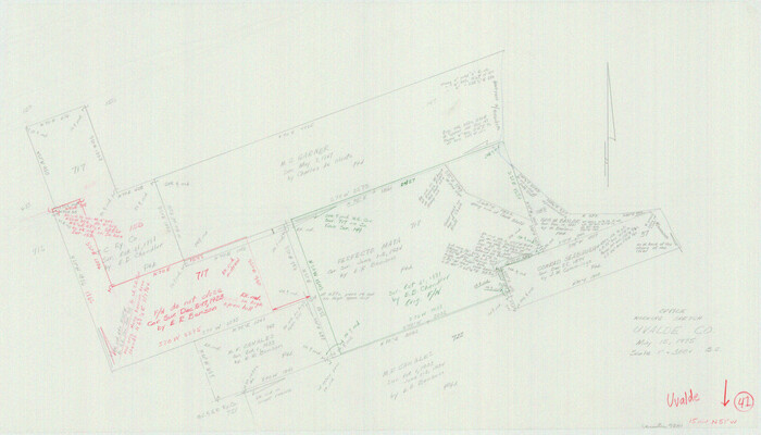
Uvalde County Working Sketch 41

Print $20.00
- Digital $50.00
Uvalde County Working Sketch 41
1975
Size 15.6 x 27.4 inches
Map/Doc 72111
Natural Heritage of Texas


Print $40.00
- Digital $50.00
Natural Heritage of Texas
1986
Size 54.3 x 56.0 inches
Map/Doc 10786
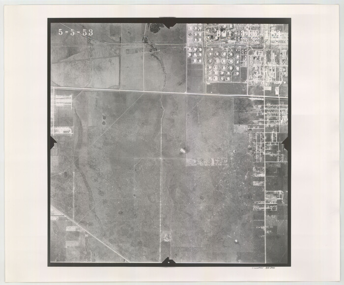
Flight Mission No. BQY-14M, Frame 184, Harris County

Print $20.00
- Digital $50.00
Flight Mission No. BQY-14M, Frame 184, Harris County
1953
Size 18.6 x 22.4 inches
Map/Doc 85300
[Leagues 53 through 57]
![92483, [Leagues 53 through 57], Twichell Survey Records](https://historictexasmaps.com/wmedia_w700/maps/92483-1.tif.jpg)
![92483, [Leagues 53 through 57], Twichell Survey Records](https://historictexasmaps.com/wmedia_w700/maps/92483-1.tif.jpg)
Print $20.00
- Digital $50.00
[Leagues 53 through 57]
1913
Size 17.8 x 19.0 inches
Map/Doc 92483
[Sketch showing surveys in Blocks 70, 71 and 72 surrounding the town of Toyah]
![91750, [Sketch showing surveys in Blocks 70, 71 and 72 surrounding the town of Toyah], Twichell Survey Records](https://historictexasmaps.com/wmedia_w700/maps/91750-1.tif.jpg)
![91750, [Sketch showing surveys in Blocks 70, 71 and 72 surrounding the town of Toyah], Twichell Survey Records](https://historictexasmaps.com/wmedia_w700/maps/91750-1.tif.jpg)
Print $20.00
- Digital $50.00
[Sketch showing surveys in Blocks 70, 71 and 72 surrounding the town of Toyah]
Size 44.9 x 26.1 inches
Map/Doc 91750
