[Leagues 53 through 57]
CO133
-
Map/Doc
92483
-
Collection
Twichell Survey Records
-
Object Dates
8/25/1913 (Creation Date)
-
People and Organizations
Sylvan Sanders (Surveyor/Engineer)
-
Counties
Cochran
-
Height x Width
17.8 x 19.0 inches
45.2 x 48.3 cm
Part of: Twichell Survey Records
[Sketch showing area around Runnels County School Land, Yates survey 34 1/2 and Runnels County School Land]
![91683, [Sketch showing area around Runnels County School Land, Yates survey 34 1/2 and Runnels County School Land], Twichell Survey Records](https://historictexasmaps.com/wmedia_w700/maps/91683-1.tif.jpg)
![91683, [Sketch showing area around Runnels County School Land, Yates survey 34 1/2 and Runnels County School Land], Twichell Survey Records](https://historictexasmaps.com/wmedia_w700/maps/91683-1.tif.jpg)
Print $20.00
- Digital $50.00
[Sketch showing area around Runnels County School Land, Yates survey 34 1/2 and Runnels County School Land]
Size 17.5 x 12.5 inches
Map/Doc 91683
[Letter from T. F. Pinckney to W. D. Twichell accompanying sketch showing Blocks 14, 341, and G5]
![93111, [Letter from T. F. Pinckney to W. D. Twichell accompanying sketch showing Blocks 14, 341, and G5], Twichell Survey Records](https://historictexasmaps.com/wmedia_w700/maps/93111-1.tif.jpg)
![93111, [Letter from T. F. Pinckney to W. D. Twichell accompanying sketch showing Blocks 14, 341, and G5], Twichell Survey Records](https://historictexasmaps.com/wmedia_w700/maps/93111-1.tif.jpg)
Print $2.00
- Digital $50.00
[Letter from T. F. Pinckney to W. D. Twichell accompanying sketch showing Blocks 14, 341, and G5]
Size 15.1 x 7.9 inches
Map/Doc 93111
Section 39 Block Y
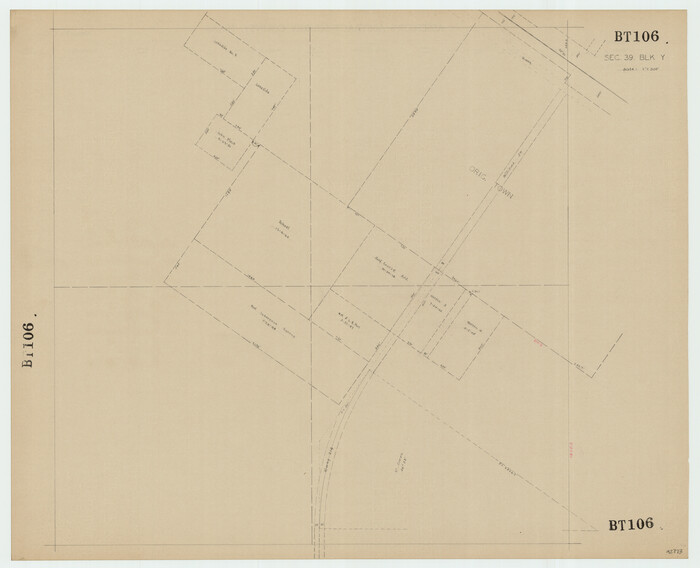

Print $20.00
- Digital $50.00
Section 39 Block Y
Size 23.9 x 19.4 inches
Map/Doc 92463
[Surveys along San Antonio Road]
![90110, [Surveys along San Antonio Road], Twichell Survey Records](https://historictexasmaps.com/wmedia_w700/maps/90110-1.tif.jpg)
![90110, [Surveys along San Antonio Road], Twichell Survey Records](https://historictexasmaps.com/wmedia_w700/maps/90110-1.tif.jpg)
Print $20.00
- Digital $50.00
[Surveys along San Antonio Road]
Size 23.0 x 13.7 inches
Map/Doc 90110
Map of S. E. Pecos County with a part of Crockett County, Texas
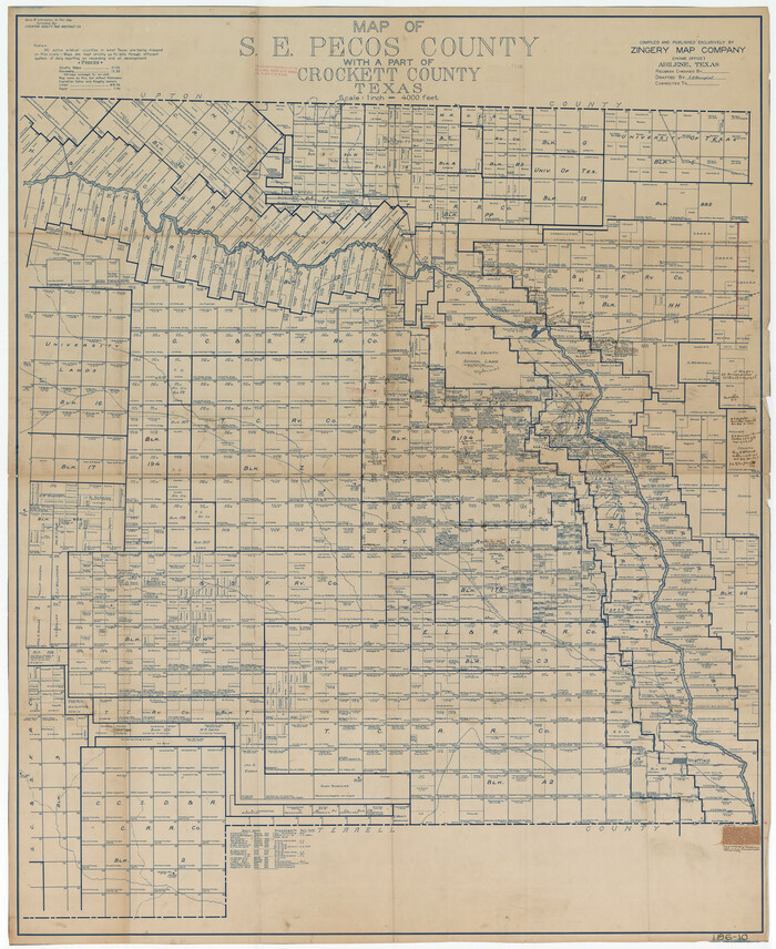

Print $40.00
- Digital $50.00
Map of S. E. Pecos County with a part of Crockett County, Texas
1927
Size 42.2 x 51.6 inches
Map/Doc 89804
Working Sketch Crockett County


Print $20.00
- Digital $50.00
Working Sketch Crockett County
1925
Size 16.6 x 15.2 inches
Map/Doc 90476
[Surveys to the North and West of the Francis Blundell survey containing townsite]
![90884, [Surveys to the North and West of the Francis Blundell survey containing townsite], Twichell Survey Records](https://historictexasmaps.com/wmedia_w700/maps/90884-1.tif.jpg)
![90884, [Surveys to the North and West of the Francis Blundell survey containing townsite], Twichell Survey Records](https://historictexasmaps.com/wmedia_w700/maps/90884-1.tif.jpg)
Print $20.00
- Digital $50.00
[Surveys to the North and West of the Francis Blundell survey containing townsite]
Size 26.3 x 19.8 inches
Map/Doc 90884
[Sections 69-84 Block 47 and part of Block 3]
![91795, [Sections 69-84 Block 47 and part of Block 3], Twichell Survey Records](https://historictexasmaps.com/wmedia_w700/maps/91795-1.tif.jpg)
![91795, [Sections 69-84 Block 47 and part of Block 3], Twichell Survey Records](https://historictexasmaps.com/wmedia_w700/maps/91795-1.tif.jpg)
Print $2.00
- Digital $50.00
[Sections 69-84 Block 47 and part of Block 3]
Size 14.3 x 8.9 inches
Map/Doc 91795
[H. & G. N. Block 8 showing Llano and Espuella fence lines]
![90374, [H. & G. N. Block 8 showing Llano and Espuella fence lines], Twichell Survey Records](https://historictexasmaps.com/wmedia_w700/maps/90374-1.tif.jpg)
![90374, [H. & G. N. Block 8 showing Llano and Espuella fence lines], Twichell Survey Records](https://historictexasmaps.com/wmedia_w700/maps/90374-1.tif.jpg)
Print $2.00
- Digital $50.00
[H. & G. N. Block 8 showing Llano and Espuella fence lines]
Size 6.2 x 9.7 inches
Map/Doc 90374
C. B. Livestock Co.'s West-Ranch, Bailey County, Texas
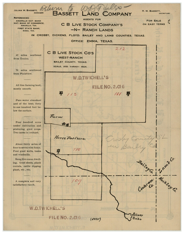

Print $2.00
- Digital $50.00
C. B. Livestock Co.'s West-Ranch, Bailey County, Texas
Size 8.8 x 11.2 inches
Map/Doc 90380
[Map of Texas Panhandle Counties and Adjacent New Mexico Counties]
![89906, [Map of Texas Panhandle Counties and Adjacent New Mexico Counties], Twichell Survey Records](https://historictexasmaps.com/wmedia_w700/maps/89906-2.tif.jpg)
![89906, [Map of Texas Panhandle Counties and Adjacent New Mexico Counties], Twichell Survey Records](https://historictexasmaps.com/wmedia_w700/maps/89906-2.tif.jpg)
Print $40.00
- Digital $50.00
[Map of Texas Panhandle Counties and Adjacent New Mexico Counties]
Size 44.5 x 63.8 inches
Map/Doc 89906
You may also like
Dimmit County Working Sketch 50
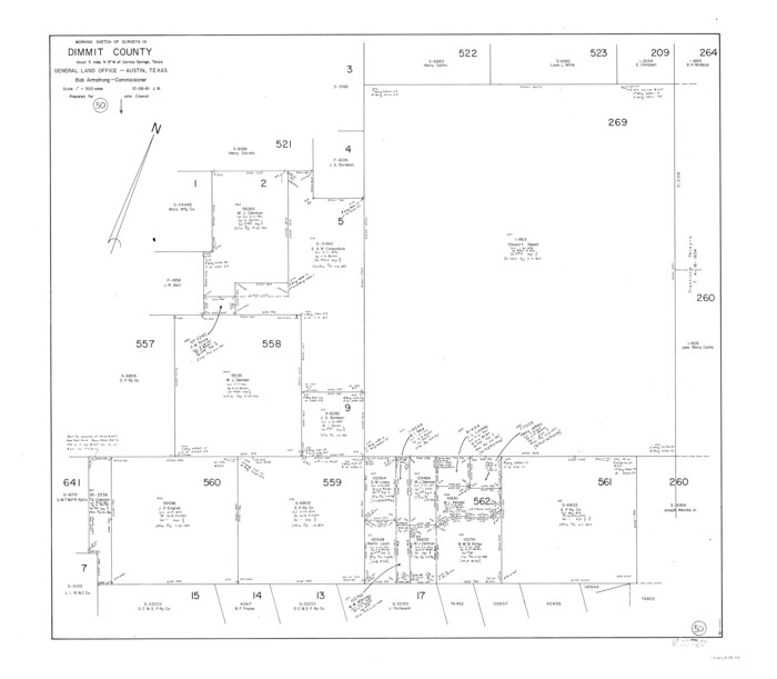

Print $20.00
- Digital $50.00
Dimmit County Working Sketch 50
1981
Size 34.0 x 39.0 inches
Map/Doc 68711
Desdemona Oil Pool
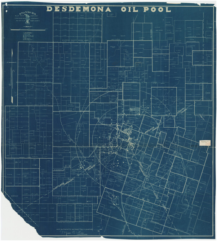

Print $20.00
- Digital $50.00
Desdemona Oil Pool
Size 38.7 x 43.1 inches
Map/Doc 89773
Travis County Sketch File 71
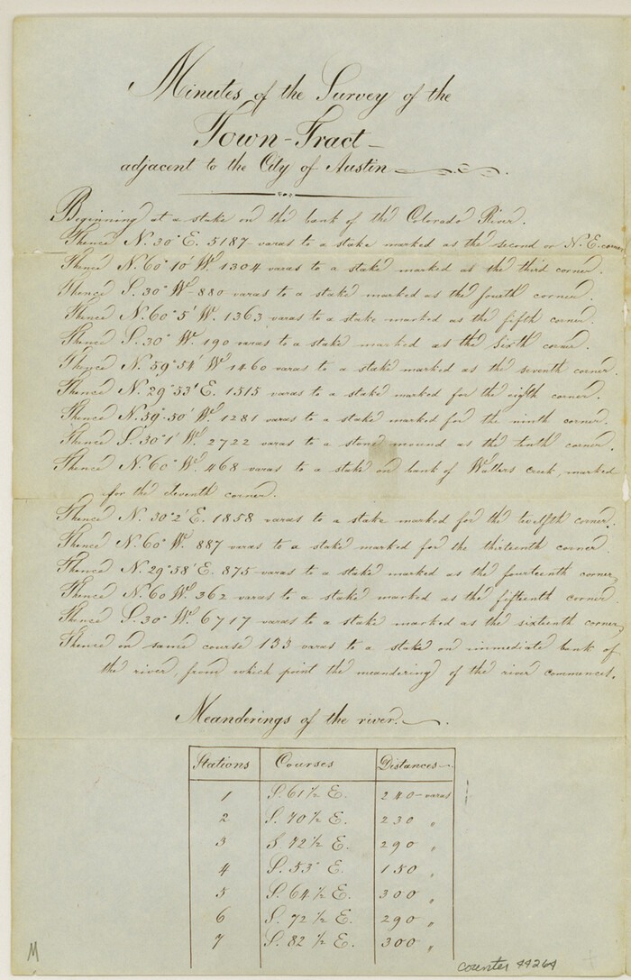

Print $10.00
- Digital $50.00
Travis County Sketch File 71
1840
Size 12.9 x 8.3 inches
Map/Doc 38456
Falls County Sketch File 2a

Print $2.00
- Digital $50.00
Falls County Sketch File 2a
1856
Size 8.4 x 10.9 inches
Map/Doc 22334
[Surveys in Austin's Colony along the west bank of the Colorado River]
![199, [Surveys in Austin's Colony along the west bank of the Colorado River], General Map Collection](https://historictexasmaps.com/wmedia_w700/maps/199.tif.jpg)
![199, [Surveys in Austin's Colony along the west bank of the Colorado River], General Map Collection](https://historictexasmaps.com/wmedia_w700/maps/199.tif.jpg)
Print $20.00
- Digital $50.00
[Surveys in Austin's Colony along the west bank of the Colorado River]
1831
Size 10.9 x 28.5 inches
Map/Doc 199
Map showing survey for proposed ship channel from Brownsville to Brazos Santiago Pass
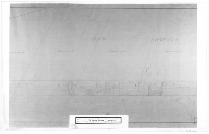

Print $20.00
- Digital $50.00
Map showing survey for proposed ship channel from Brownsville to Brazos Santiago Pass
1912
Size 18.6 x 28.8 inches
Map/Doc 72901
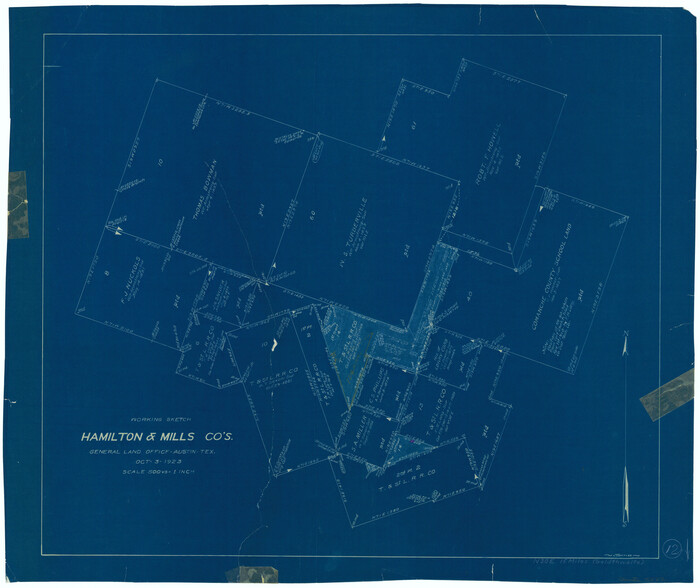
Mills County Working Sketch 12

Print $20.00
- Digital $50.00
Mills County Working Sketch 12
1923
Size 22.1 x 26.3 inches
Map/Doc 71042
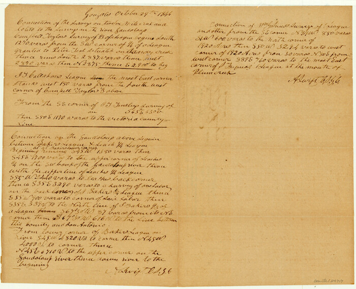
Guadalupe County Sketch File 25

Print $22.00
- Digital $50.00
Guadalupe County Sketch File 25
Size 12.7 x 15.7 inches
Map/Doc 24717
[Archer County School Land, Sections 1,2,3,4, Blocks GG, I, 29, A2, C3]
![92914, [Archer County School Land, Sections 1,2,3,4, Blocks GG, I, 29, A2, C3], Twichell Survey Records](https://historictexasmaps.com/wmedia_w700/maps/92914-1.tif.jpg)
![92914, [Archer County School Land, Sections 1,2,3,4, Blocks GG, I, 29, A2, C3], Twichell Survey Records](https://historictexasmaps.com/wmedia_w700/maps/92914-1.tif.jpg)
Print $20.00
- Digital $50.00
[Archer County School Land, Sections 1,2,3,4, Blocks GG, I, 29, A2, C3]
Size 25.9 x 18.7 inches
Map/Doc 92914
[H. & T. C. RR. Company, Block 47]
![91162, [H. & T. C. RR. Company, Block 47], Twichell Survey Records](https://historictexasmaps.com/wmedia_w700/maps/91162-1.tif.jpg)
![91162, [H. & T. C. RR. Company, Block 47], Twichell Survey Records](https://historictexasmaps.com/wmedia_w700/maps/91162-1.tif.jpg)
Print $20.00
- Digital $50.00
[H. & T. C. RR. Company, Block 47]
1921
Size 13.1 x 20.6 inches
Map/Doc 91162
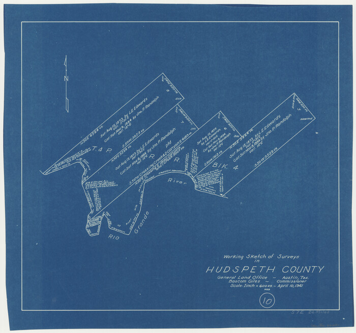
Hudspeth County Working Sketch 10

Print $20.00
- Digital $50.00
Hudspeth County Working Sketch 10
1941
Size 16.0 x 17.1 inches
Map/Doc 66291
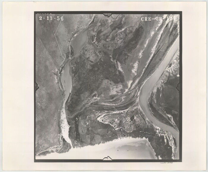
Flight Mission No. CRE-2R, Frame 157, Jackson County

Print $20.00
- Digital $50.00
Flight Mission No. CRE-2R, Frame 157, Jackson County
1956
Size 18.4 x 22.3 inches
Map/Doc 85368
![92483, [Leagues 53 through 57], Twichell Survey Records](https://historictexasmaps.com/wmedia_w1800h1800/maps/92483-1.tif.jpg)
![90262, [Block M10], Twichell Survey Records](https://historictexasmaps.com/wmedia_w700/maps/90262-1.tif.jpg)