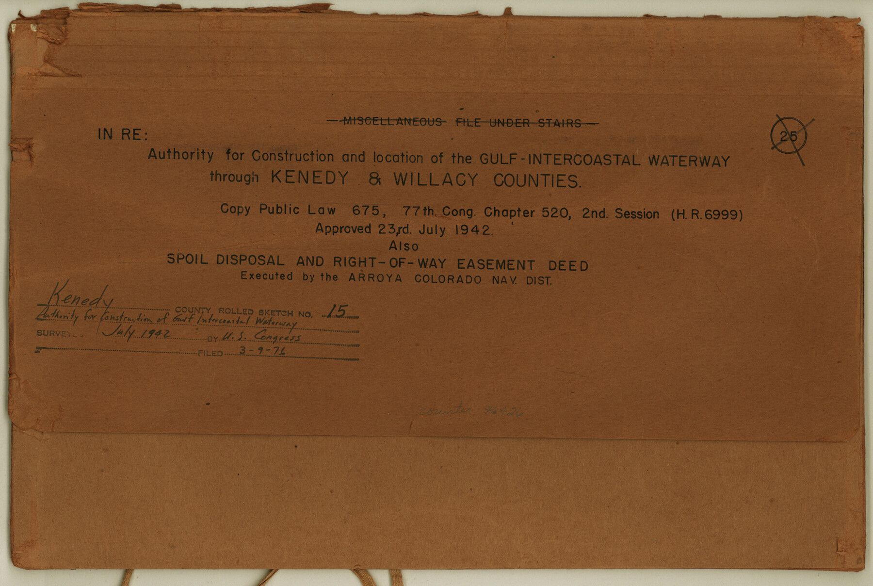
Kenedy County Rolled Sketch 15
Authority for construction and location of the Gulf-Intercoastal Waterway through Kenedy & Willacy Counties
-
Map/Doc
46426
-
Collection
General Map Collection
-
Object Dates
1942 (Creation Date)
1976/3/9 (File Date)
-
Counties
Kenedy
-
Subjects
Surveying Rolled Sketch
-
Height x Width
10.2 x 15.2 inches
25.9 x 38.6 cm
-
Medium
paper, print
Part of: General Map Collection
Texas 1986, 150 Years of Independence

Print $81.19
Texas 1986, 150 Years of Independence
1985
Size 42.0 x 46.3 inches
Map/Doc 89069
Tyler County Rolled Sketch 8

Print $20.00
- Digital $50.00
Tyler County Rolled Sketch 8
1965
Size 18.1 x 25.4 inches
Map/Doc 8058
Hudspeth County Working Sketch 13

Print $40.00
- Digital $50.00
Hudspeth County Working Sketch 13
1952
Size 34.3 x 51.4 inches
Map/Doc 66295

Grimes County Working Sketch 2

Print $20.00
- Digital $50.00
Grimes County Working Sketch 2
1941
Size 13.2 x 20.9 inches
Map/Doc 63293
Lampasas County Boundary File 12

Print $6.00
- Digital $50.00
Lampasas County Boundary File 12
Size 11.0 x 8.6 inches
Map/Doc 56191
Map of Smith County

Print $20.00
- Digital $50.00
Map of Smith County
1872
Size 20.0 x 20.6 inches
Map/Doc 4625
Brazoria County Rolled Sketch 20

Print $20.00
- Digital $50.00
Brazoria County Rolled Sketch 20
1917
Size 31.1 x 47.1 inches
Map/Doc 8929
Brewster County Sketch File S-29

Print $44.00
- Digital $50.00
Brewster County Sketch File S-29
1971
Size 11.1 x 8.7 inches
Map/Doc 15846
Collin County

Print $20.00
- Digital $50.00
Collin County
1975
Size 43.2 x 40.1 inches
Map/Doc 73110
Flight Mission No. CON-2R, Frame 94, Stonewall County

Print $20.00
- Digital $50.00
Flight Mission No. CON-2R, Frame 94, Stonewall County
1957
Size 18.5 x 22.2 inches
Map/Doc 86988
San Patricio County Sketch File 38

Print $112.00
- Digital $50.00
San Patricio County Sketch File 38
Size 7.9 x 7.3 inches
Map/Doc 36176
You may also like
Coke County Rolled Sketch 16A

Print $20.00
- Digital $50.00
Coke County Rolled Sketch 16A
Size 32.3 x 30.4 inches
Map/Doc 5518
Sketch in Gaines and Dawson Counties

Print $20.00
- Digital $50.00
Sketch in Gaines and Dawson Counties
1950
Size 16.0 x 31.3 inches
Map/Doc 92586
Brewster County Rolled Sketch 101

Print $40.00
- Digital $50.00
Brewster County Rolled Sketch 101
1927
Size 74.2 x 42.3 inches
Map/Doc 9192
Houston County Working Sketch 13

Print $20.00
- Digital $50.00
Houston County Working Sketch 13
1956
Size 39.3 x 39.6 inches
Map/Doc 66243
Tom Green County Working Sketch 5

Print $20.00
- Digital $50.00
Tom Green County Working Sketch 5
1948
Size 34.0 x 40.3 inches
Map/Doc 69374
Harrison County Working Sketch 28

Print $20.00
- Digital $50.00
Harrison County Working Sketch 28
1992
Size 17.0 x 17.0 inches
Map/Doc 66048
Upton County Rolled Sketch 8

Print $40.00
- Digital $50.00
Upton County Rolled Sketch 8
1912
Size 17.8 x 61.4 inches
Map/Doc 10034
Flight Mission No. DIX-8P, Frame 84, Aransas County

Print $20.00
- Digital $50.00
Flight Mission No. DIX-8P, Frame 84, Aransas County
1956
Size 18.6 x 22.3 inches
Map/Doc 83909
Zapata County Working Sketch 10

Print $20.00
- Digital $50.00
Zapata County Working Sketch 10
1954
Size 33.9 x 32.2 inches
Map/Doc 62061
General Highway Map, Polk County, Texas

Print $20.00
General Highway Map, Polk County, Texas
1940
Size 24.6 x 18.5 inches
Map/Doc 79219
[Surveys along the Nueces River, San Patricio District]
![69739, [Surveys along the Nueces River, San Patricio District], General Map Collection](https://historictexasmaps.com/wmedia_w700/maps/69739.tif.jpg)
Print $2.00
- Digital $50.00
[Surveys along the Nueces River, San Patricio District]
1842
Size 11.3 x 7.7 inches
Map/Doc 69739
[Sketch showing B. S. & F. Block 9 and vicinity]
![89786, [Sketch showing B. S. & F. Block 9 and vicinity], Twichell Survey Records](https://historictexasmaps.com/wmedia_w700/maps/89786-1.tif.jpg)
Print $20.00
- Digital $50.00
[Sketch showing B. S. & F. Block 9 and vicinity]
Size 39.0 x 47.6 inches
Map/Doc 89786