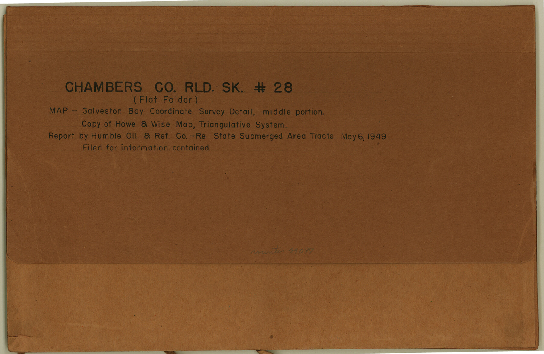
Chambers County Rolled Sketch 28
Galveston Bay coordinate survey detail, middle portion, copy of Howe & Wise map, triangulative system, report by Humble Oil & Ref. Co. re: State Submerged Area tracts
-
Map/Doc
44097
-
Collection
General Map Collection
-
Object Dates
1949/5/6 (Creation Date)
-
Counties
Chambers
-
Subjects
Surveying Rolled Sketch
-
Height x Width
9.9 x 15.2 inches
25.1 x 38.6 cm
-
Medium
multi-page, multi-format
Part of: General Map Collection
Hudspeth County Working Sketch 17

Print $40.00
- Digital $50.00
Hudspeth County Working Sketch 17
1957
Size 22.6 x 112.4 inches
Map/Doc 66299
Irion County Rolled Sketch 7

Print $20.00
- Digital $50.00
Irion County Rolled Sketch 7
Size 43.9 x 33.8 inches
Map/Doc 9250
Flight Mission No. DCL-7C, Frame 57, Kenedy County

Print $20.00
- Digital $50.00
Flight Mission No. DCL-7C, Frame 57, Kenedy County
1943
Size 15.4 x 15.2 inches
Map/Doc 86045
Hamilton County Sketch File 15

Print $2.00
- Digital $50.00
Hamilton County Sketch File 15
1882
Size 8.0 x 11.8 inches
Map/Doc 24941
Pecos County Working Sketch Graphic Index - northwest part - sheet B

Print $20.00
- Digital $50.00
Pecos County Working Sketch Graphic Index - northwest part - sheet B
1975
Size 42.1 x 42.6 inches
Map/Doc 76664
Aransas County Rolled Sketch 33

Print $20.00
- Digital $50.00
Aransas County Rolled Sketch 33
1997
Size 24.5 x 36.8 inches
Map/Doc 78495
Glasscock County Rolled Sketch 15

Print $20.00
- Digital $50.00
Glasscock County Rolled Sketch 15
1964
Size 36.5 x 35.8 inches
Map/Doc 9059
Presidio County Rolled Sketch 95

Print $20.00
- Digital $50.00
Presidio County Rolled Sketch 95
1949
Size 45.4 x 37.5 inches
Map/Doc 9781
Montgomery County Sketch File 26

Print $6.00
- Digital $50.00
Montgomery County Sketch File 26
1845
Size 13.4 x 11.4 inches
Map/Doc 31871
Bee County Working Sketch 17

Print $20.00
- Digital $50.00
Bee County Working Sketch 17
1975
Size 31.5 x 33.7 inches
Map/Doc 67267
Medina County

Print $40.00
- Digital $50.00
Medina County
1915
Size 50.0 x 42.0 inches
Map/Doc 66925
Knox County Rolled Sketch 24

Print $20.00
- Digital $50.00
Knox County Rolled Sketch 24
2007
Size 28.5 x 34.5 inches
Map/Doc 87722
You may also like
Tarrant County Sketch File 26

Print $24.00
- Digital $50.00
Tarrant County Sketch File 26
1874
Size 12.7 x 8.4 inches
Map/Doc 37739
Real County Working Sketch 69

Print $20.00
- Digital $50.00
Real County Working Sketch 69
1942
Size 42.4 x 35.4 inches
Map/Doc 71961
Jeff Davis County Sketch File 25b

Print $20.00
- Digital $50.00
Jeff Davis County Sketch File 25b
Size 18.9 x 20.0 inches
Map/Doc 11861
Photostat of section of hydrographic surveys H-5399, H-4822, H-470

Print $2.00
- Digital $50.00
Photostat of section of hydrographic surveys H-5399, H-4822, H-470
1933
Size 10.8 x 8.1 inches
Map/Doc 61157
Flight Mission No. DAH-9M, Frame 159, Orange County

Print $20.00
- Digital $50.00
Flight Mission No. DAH-9M, Frame 159, Orange County
1953
Size 18.6 x 22.5 inches
Map/Doc 86858
Llano County Working Sketch Graphic Index

Print $20.00
- Digital $50.00
Llano County Working Sketch Graphic Index
1943
Size 43.7 x 42.6 inches
Map/Doc 76624
Map of Southeastern Part of Young Territory

Print $40.00
- Digital $50.00
Map of Southeastern Part of Young Territory
1874
Size 54.7 x 30.1 inches
Map/Doc 1989
Concho County Working Sketch 25

Print $20.00
- Digital $50.00
Concho County Working Sketch 25
1982
Size 32.3 x 38.1 inches
Map/Doc 68207
Pecos County Working Sketch 10

Print $20.00
- Digital $50.00
Pecos County Working Sketch 10
1907
Size 25.9 x 23.9 inches
Map/Doc 71480
T. & P. RR. Co. Township 1 South, Block 44

Print $20.00
- Digital $50.00
T. & P. RR. Co. Township 1 South, Block 44
Size 20.1 x 29.3 inches
Map/Doc 90901
Jeff Davis County Rolled Sketch 13A

Print $20.00
- Digital $50.00
Jeff Davis County Rolled Sketch 13A
1921
Size 19.0 x 23.1 inches
Map/Doc 6367
Flight Mission No. DQO-8K, Frame 17, Galveston County

Print $20.00
- Digital $50.00
Flight Mission No. DQO-8K, Frame 17, Galveston County
1952
Size 18.6 x 22.4 inches
Map/Doc 85140