Val Verde County Sketch File DD and DD1
[Sketches and connecting line of surveys in Blocks E, F and H]
-
Map/Doc
39067
-
Collection
General Map Collection
-
Object Dates
1889-1902 (Creation Date)
-
People and Organizations
George M. Williams (Surveyor/Engineer)
Jacob Kuechler (Surveyor/Engineer)
-
Counties
Val Verde
-
Subjects
Surveying Sketch File
-
Height x Width
8.9 x 7.9 inches
22.6 x 20.1 cm
-
Medium
paper, manuscript
-
Features
Beaver Lake
Devil's River
El Paso & San Antonio Road
Dolan Spring
Records Creek
West Dolan Creek
Part of: General Map Collection
Brewster County Rolled Sketch 101


Print $40.00
- Digital $50.00
Brewster County Rolled Sketch 101
1927
Size 74.7 x 50.4 inches
Map/Doc 10649
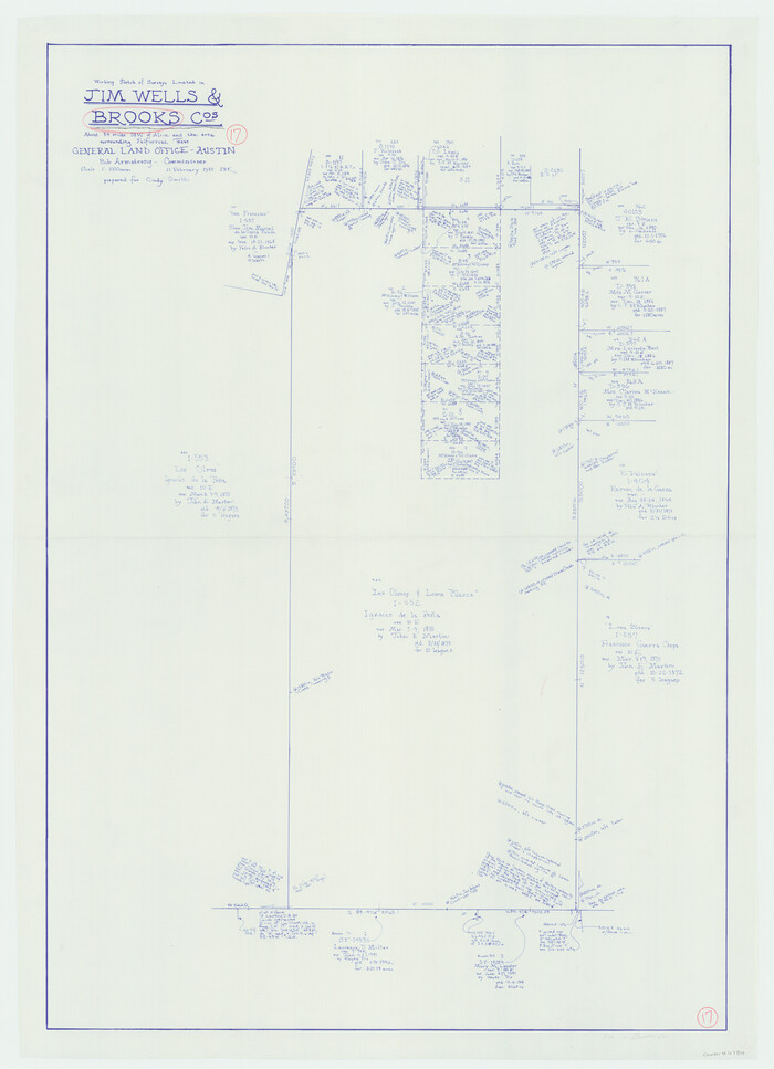
Brooks County Working Sketch 17

Print $20.00
- Digital $50.00
Brooks County Working Sketch 17
1980
Size 38.2 x 27.7 inches
Map/Doc 67801
Sutton County Working Sketch 9


Print $20.00
- Digital $50.00
Sutton County Working Sketch 9
1972
Size 41.8 x 38.1 inches
Map/Doc 62352
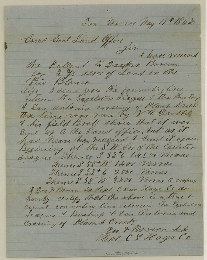
Hays County Sketch File 11

Print $4.00
- Digital $50.00
Hays County Sketch File 11
Size 10.3 x 8.2 inches
Map/Doc 26216
Flight Mission No. DIX-10P, Frame 171, Aransas County


Print $20.00
- Digital $50.00
Flight Mission No. DIX-10P, Frame 171, Aransas County
1956
Size 18.8 x 22.3 inches
Map/Doc 83961
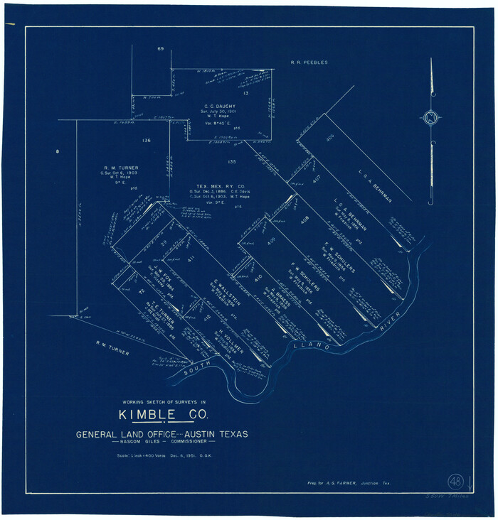
Kimble County Working Sketch 48

Print $20.00
- Digital $50.00
Kimble County Working Sketch 48
1951
Size 23.2 x 22.1 inches
Map/Doc 70116
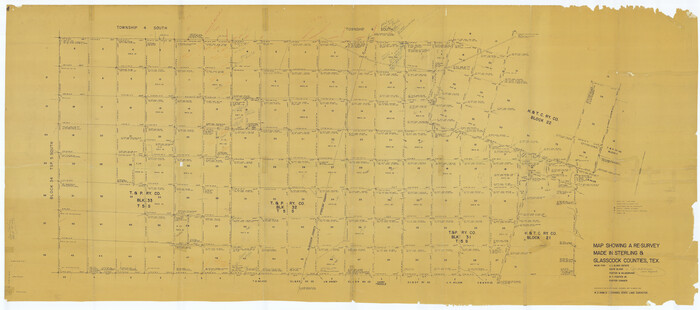
Sterling County Rolled Sketch 31

Print $40.00
- Digital $50.00
Sterling County Rolled Sketch 31
Size 40.9 x 92.6 inches
Map/Doc 9956
Floyd County Boundary File 2


Print $53.00
- Digital $50.00
Floyd County Boundary File 2
Size 8.9 x 4.2 inches
Map/Doc 53462
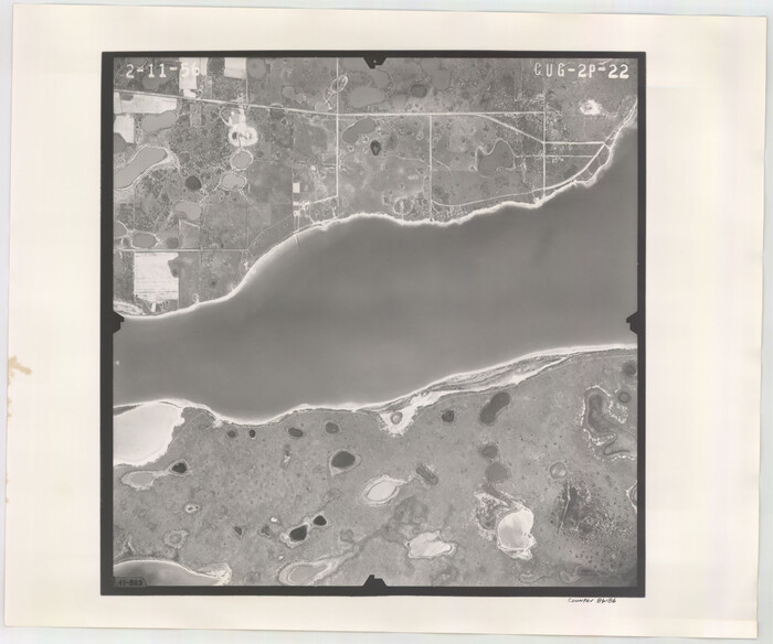
Flight Mission No. CUG-2P, Frame 22, Kleberg County

Print $20.00
- Digital $50.00
Flight Mission No. CUG-2P, Frame 22, Kleberg County
1956
Size 18.7 x 22.4 inches
Map/Doc 86186
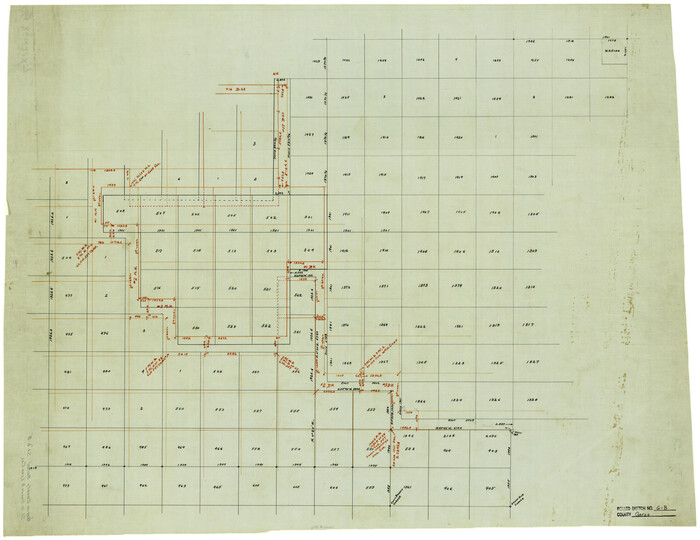
Garza County Rolled Sketch 6B

Print $20.00
- Digital $50.00
Garza County Rolled Sketch 6B
Size 27.6 x 36.4 inches
Map/Doc 5996
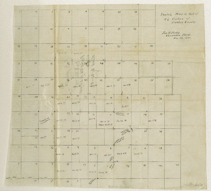
Donley County Sketch File 3

Print $6.00
- Digital $50.00
Donley County Sketch File 3
Size 10.8 x 11.9 inches
Map/Doc 21217
You may also like
Uvalde County Working Sketch 51


Print $20.00
- Digital $50.00
Uvalde County Working Sketch 51
1981
Size 34.7 x 37.7 inches
Map/Doc 72121
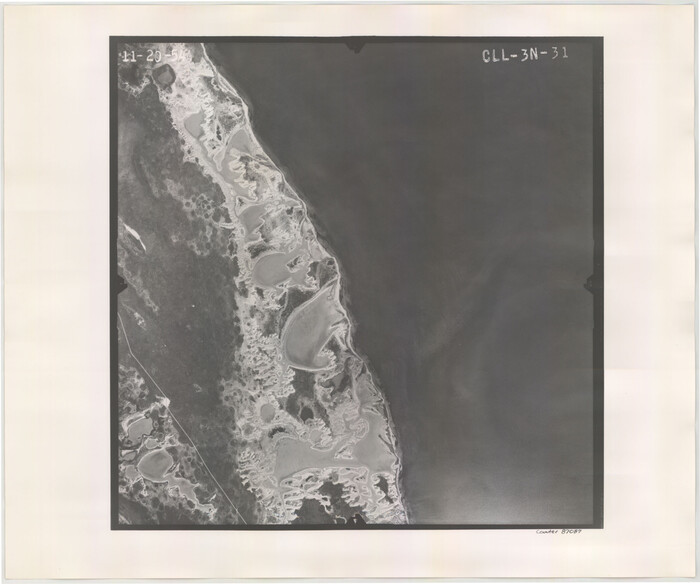
Flight Mission No. CLL-3N, Frame 31, Willacy County

Print $20.00
- Digital $50.00
Flight Mission No. CLL-3N, Frame 31, Willacy County
1954
Size 18.5 x 22.2 inches
Map/Doc 87087
Freestone County Rolled Sketch 1
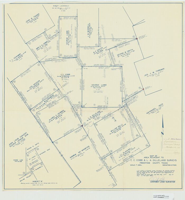

Print $20.00
- Digital $50.00
Freestone County Rolled Sketch 1
1947
Size 28.1 x 26.0 inches
Map/Doc 5909
First Addition to Amherst Suburban Farms
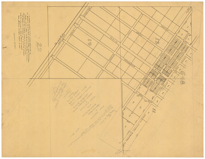

Print $20.00
- Digital $50.00
First Addition to Amherst Suburban Farms
Size 26.5 x 20.6 inches
Map/Doc 92430
Tarrant County Working Sketch 27
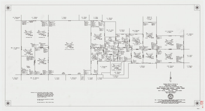

Print $20.00
- Digital $50.00
Tarrant County Working Sketch 27
2010
Size 19.4 x 35.9 inches
Map/Doc 89261
Corpus Christi Bay


Print $20.00
- Digital $50.00
Corpus Christi Bay
1971
Size 36.2 x 47.6 inches
Map/Doc 73473
Cameron County NRC Article 33.136 Sketch 4
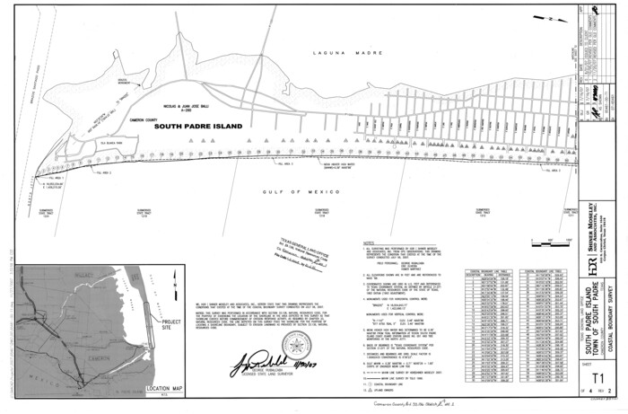

Print $94.00
- Digital $50.00
Cameron County NRC Article 33.136 Sketch 4
2007
Size 22.3 x 34.0 inches
Map/Doc 88721
Dallam County Working Sketch 3
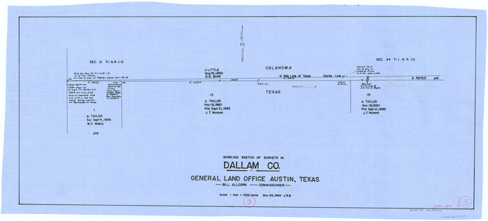

Print $20.00
- Digital $50.00
Dallam County Working Sketch 3
1960
Size 13.8 x 30.5 inches
Map/Doc 68588
Concho County Boundary File 4
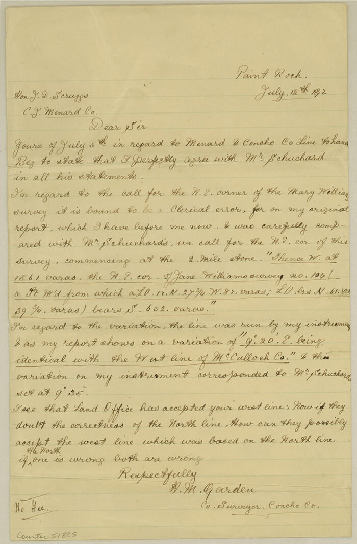

Print $2.00
- Digital $50.00
Concho County Boundary File 4
Size 12.7 x 8.4 inches
Map/Doc 51825
La Salle County Rolled Sketch 12


Print $20.00
- Digital $50.00
La Salle County Rolled Sketch 12
Size 25.3 x 37.2 inches
Map/Doc 6575
Kendall County Sketch File 25
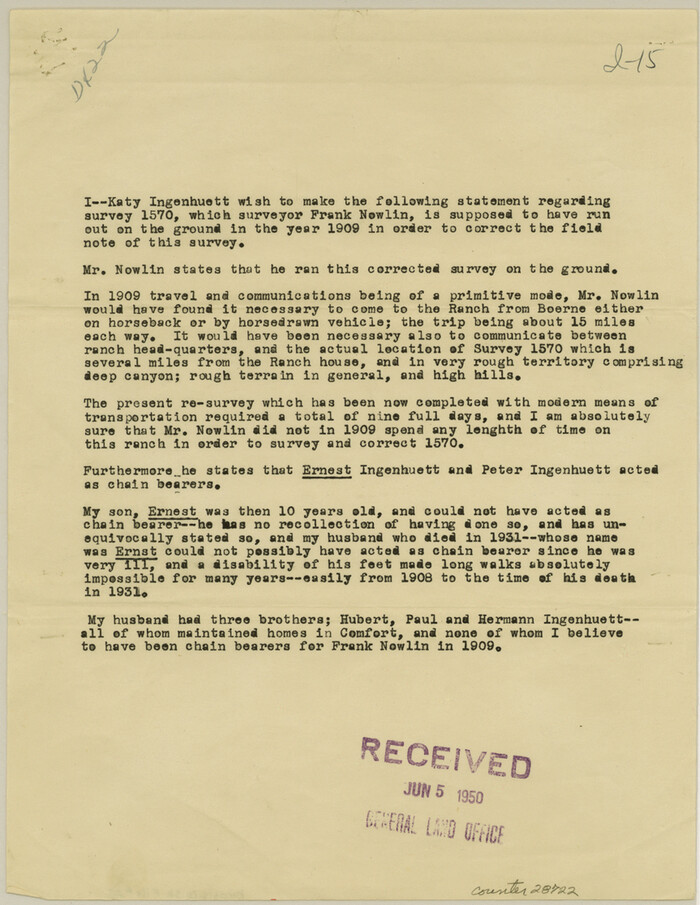

Print $6.00
- Digital $50.00
Kendall County Sketch File 25
1950
Size 11.2 x 8.6 inches
Map/Doc 28722
Starr County Rolled Sketch 35


Print $20.00
- Digital $50.00
Starr County Rolled Sketch 35
1925
Size 40.1 x 12.8 inches
Map/Doc 7832

