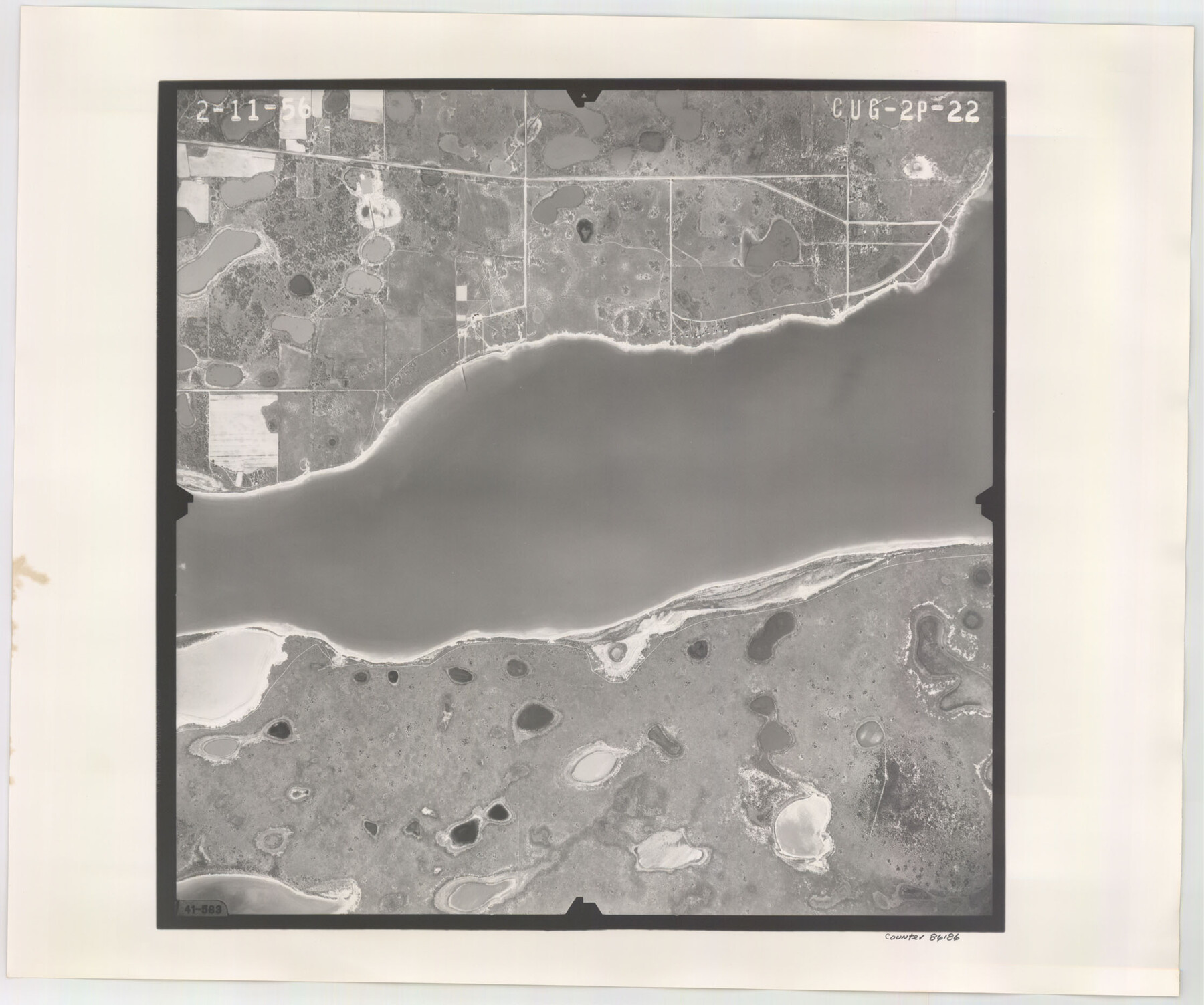
Flight Mission No. CUG-2P, Frame 22, Kleberg County
CUG-2P-22
- 
                          Map/Doc
86186
 - 
                            Collection
General Map Collection
 - 
                            Object Dates
1956/2/11 (Creation Date)
 - 
                            People and Organizations
U. S. Department of Agriculture (Publisher)
 - 
                            Counties
Kleberg
 - 
                            Subjects
Aerial Photograph
 - 
                            Height x Width
18.7 x 22.4 inches
47.5 x 56.9 cm
 - 
                            Comments
Flown by V. L. Beavers and Associates of San Antonio, Texas.
 
Part of: General Map Collection
            [Beaumont, Sour Lake and Western Ry. Right of Way and Alignment - Frisco]


                                            Print $20.00                    
                                             -                         Digital $50.00                                    
                [Beaumont, Sour Lake and Western Ry. Right of Way and Alignment - Frisco]
1910
Size 20.4 x 46.2 inches
                                Map/Doc 64123
            
            Zavala County Working Sketch 7


                                            Print $20.00                    
                                             -                         Digital $50.00                                    
                Zavala County Working Sketch 7
1948
Size 19.3 x 17.3 inches
                                Map/Doc 62082
            
            Zapata County Working Sketch Graphic Index, Sheet 2 (Sketches 19 to Most Recent)


                                            Print $40.00                    
                                             -                         Digital $50.00                                    
                Zapata County Working Sketch Graphic Index, Sheet 2 (Sketches 19 to Most Recent)
1935
Size 55.6 x 41.5 inches
                                Map/Doc 76750
            
            Red River County Sketch File 1a


                                            Print $4.00                    
                                             -                         Digital $50.00                                    
                Red River County Sketch File 1a
1854
Size 12.7 x 8.0 inches
                                Map/Doc 35093
            
            Hudspeth County Working Sketch 42


                                            Print $20.00                    
                                             -                         Digital $50.00                                    
                Hudspeth County Working Sketch 42
1981
Size 34.2 x 36.5 inches
                                Map/Doc 66327
            
            Webb County Working Sketch 2


                                            Print $20.00                    
                                             -                         Digital $50.00                                    
                Webb County Working Sketch 2
1906
Size 11.2 x 12.5 inches
                                Map/Doc 72367
            
            Flight Mission No. CRC-3R, Frame 164, Chambers County


                                            Print $20.00                    
                                             -                         Digital $50.00                                    
                Flight Mission No. CRC-3R, Frame 164, Chambers County
1956
Size 18.7 x 22.3 inches
                                Map/Doc 84846
            
            Newton County Working Sketch 19


                                            Print $20.00                    
                                             -                         Digital $50.00                                    
                Newton County Working Sketch 19
1951
Size 28.7 x 23.4 inches
                                Map/Doc 71265
            
            Live Oak County Sketch File 24


                                            Print $20.00                    
                                             -                         Digital $50.00                                    
                Live Oak County Sketch File 24
1912
Size 20.0 x 19.6 inches
                                Map/Doc 12010
            
            Brewster County Working Sketch 21


                                            Print $20.00                    
                                             -                         Digital $50.00                                    
                Brewster County Working Sketch 21
1937
Size 28.9 x 32.7 inches
                                Map/Doc 67555
            
            Parker County Boundary File 3


                                            Print $4.00                    
                                             -                         Digital $50.00                                    
                Parker County Boundary File 3
Size 11.2 x 8.8 inches
                                Map/Doc 57838
            
            Rusk County Sketch File 43


                                            Print $20.00                    
                                    
                Rusk County Sketch File 43
1951
Size 23.5 x 26.6 inches
                                Map/Doc 12278
            You may also like
            Garza County Sketch File 21


                                            Print $4.00                    
                                             -                         Digital $50.00                                    
                Garza County Sketch File 21
1906
Size 14.4 x 8.7 inches
                                Map/Doc 24078
            
            Crane County Sketch File 29


                                            Print $6.00                    
                                             -                         Digital $50.00                                    
                Crane County Sketch File 29
1930
Size 12.8 x 10.4 inches
                                Map/Doc 19608
            
            Dimmit County Working Sketch 13


                                            Print $20.00                    
                                             -                         Digital $50.00                                    
                Dimmit County Working Sketch 13
1941
Size 14.3 x 16.3 inches
                                Map/Doc 68674
            
            [West half of Deaf Smith County Map]


                                            Print $2.00                    
                                             -                         Digital $50.00                                    
                [West half of Deaf Smith County Map]
Size 7.6 x 12.5 inches
                                Map/Doc 90510
            
            Carta geográfica que comprende en su extensión mucha parte del arzobispado de México, y alguna de los obispados de Puebla, Valladolid de Michoacán, Guadalajara y Durango, confinantes entre si


            Carta geográfica que comprende en su extensión mucha parte del arzobispado de México, y alguna de los obispados de Puebla, Valladolid de Michoacán, Guadalajara y Durango, confinantes entre si
1779
Size 33.9 x 22.0 inches
                                Map/Doc 97079
            
            General Highway Map, Colorado County, Texas


                                            Print $20.00                    
                                    
                General Highway Map, Colorado County, Texas
1961
Size 25.1 x 18.3 inches
                                Map/Doc 79416
            
            Culberson County Rolled Sketch 42


                                            Print $20.00                    
                                             -                         Digital $50.00                                    
                Culberson County Rolled Sketch 42
Size 23.0 x 29.0 inches
                                Map/Doc 5663
            
            Flight Mission No. CRC-3R, Frame 40, Chambers County


                                            Print $20.00                    
                                             -                         Digital $50.00                                    
                Flight Mission No. CRC-3R, Frame 40, Chambers County
1956
Size 18.6 x 22.3 inches
                                Map/Doc 84813
            
            South Part of Brewster Co.


                                            Print $40.00                    
                                             -                         Digital $50.00                                    
                South Part of Brewster Co.
1955
Size 48.9 x 41.4 inches
                                Map/Doc 95438
            
            Pecos County Rolled Sketch 6


                                            Print $20.00                    
                                             -                         Digital $50.00                                    
                Pecos County Rolled Sketch 6
Size 43.6 x 31.2 inches
                                Map/Doc 9680
            
            Harris County Working Sketch 127


                                            Print $20.00                    
                                             -                         Digital $50.00                                    
                Harris County Working Sketch 127
1996
Size 20.7 x 26.0 inches
                                Map/Doc 66019
            
            Aransas County Sketch File 22


                                            Print $34.00                    
                                             -                         Digital $50.00                                    
                Aransas County Sketch File 22
1910
Size 14.8 x 9.1 inches
                                Map/Doc 13166