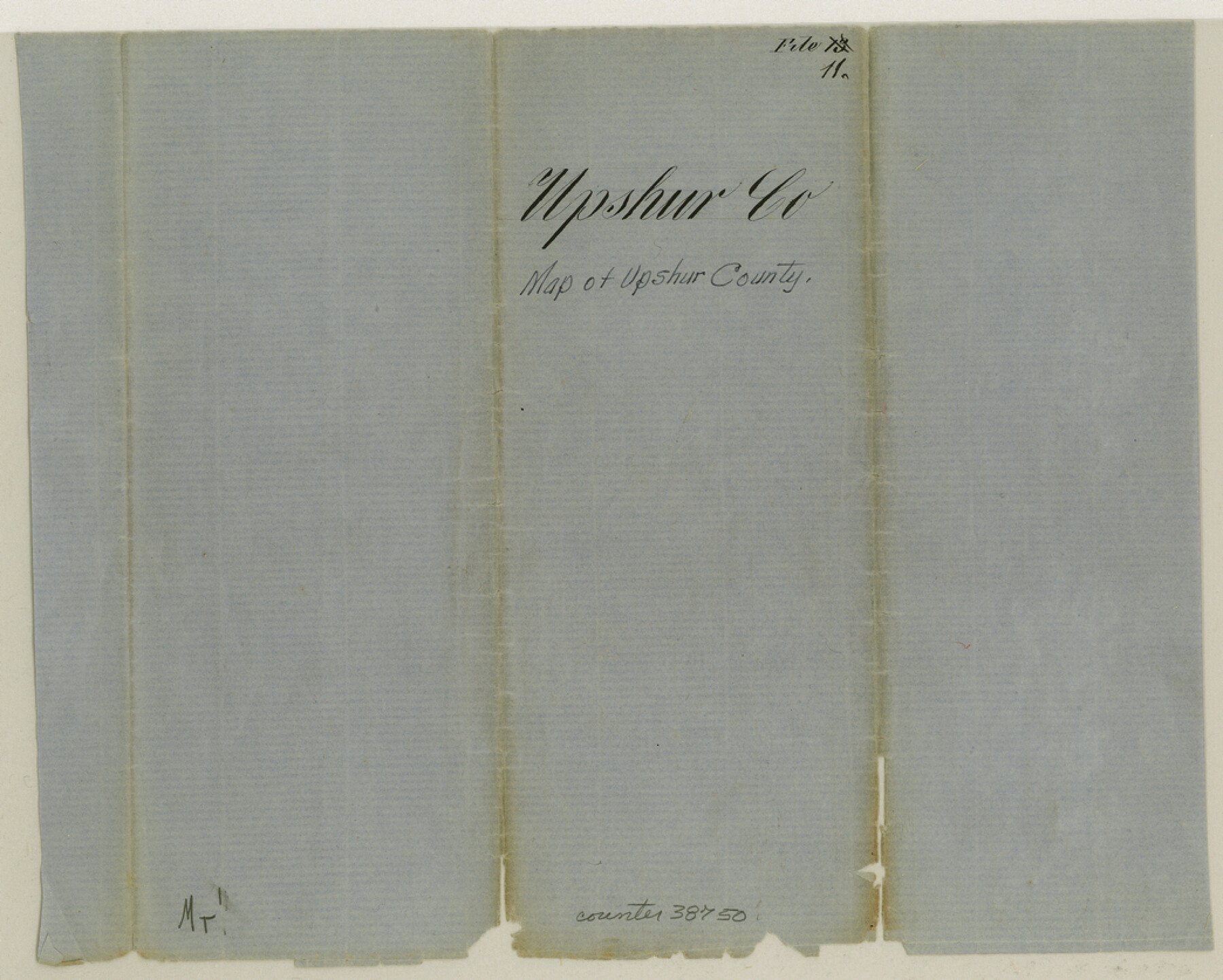
Upshur County Sketch File 11
[Jacket only]
-
Map/Doc
38750
-
Collection
General Map Collection
-
Counties
Upshur
-
Subjects
Surveying Sketch File
-
Height x Width
8.4 x 10.4 inches
21.3 x 26.4 cm
-
Medium
paper, manuscript
Part of: General Map Collection
La Salle County Rolled Sketch 34

Print $20.00
- Digital $50.00
La Salle County Rolled Sketch 34
2019
Size 22.3 x 35.5 inches
Map/Doc 95702
Upton County Rolled Sketch 42

Print $40.00
- Digital $50.00
Upton County Rolled Sketch 42
Size 26.5 x 55.9 inches
Map/Doc 10056
Flight Mission No. BRE-1P, Frame 138, Nueces County

Print $20.00
- Digital $50.00
Flight Mission No. BRE-1P, Frame 138, Nueces County
1956
Size 18.4 x 22.3 inches
Map/Doc 86698
Young County Working Sketch 23

Print $20.00
- Digital $50.00
Young County Working Sketch 23
1965
Size 31.3 x 22.3 inches
Map/Doc 62046

Map of the City of Austin

Print $20.00
- Digital $50.00
Map of the City of Austin
1876
Size 36.5 x 30.4 inches
Map/Doc 78477
Terry County Working Sketch 1

Print $20.00
- Digital $50.00
Terry County Working Sketch 1
1938
Size 24.0 x 19.9 inches
Map/Doc 62106
Zavala County Sketch File 11b

Print $4.00
- Digital $50.00
Zavala County Sketch File 11b
1886
Size 10.2 x 8.3 inches
Map/Doc 41277
[Map of the Fort Worth & Denver City Ry., Dallam County, Texas]
![64351, [Map of the Fort Worth & Denver City Ry., Dallam County, Texas], General Map Collection](https://historictexasmaps.com/wmedia_w700/maps/64351.tif.jpg)
Print $40.00
- Digital $50.00
[Map of the Fort Worth & Denver City Ry., Dallam County, Texas]
1887
Size 21.1 x 121.0 inches
Map/Doc 64351
Hays County State Real Property Sketch 3

Print $20.00
- Digital $50.00
Hays County State Real Property Sketch 3
2003
Size 24.0 x 37.2 inches
Map/Doc 96638
Travis County State Real Property Sketch 5

Print $20.00
- Digital $50.00
Travis County State Real Property Sketch 5
1990
Size 25.4 x 37.5 inches
Map/Doc 61696
Bandera County Working Sketch 16d

Print $20.00
- Digital $50.00
Bandera County Working Sketch 16d
1941
Size 19.1 x 23.2 inches
Map/Doc 67612
You may also like
Pecos County Working Sketch 102

Print $40.00
- Digital $50.00
Pecos County Working Sketch 102
1971
Size 36.9 x 52.7 inches
Map/Doc 71575
Motley County Sketch File 5 (S)

Print $20.00
- Digital $50.00
Motley County Sketch File 5 (S)
Size 20.5 x 19.4 inches
Map/Doc 42138

Hardin County Sketch File 61

Print $20.00
- Digital $50.00
Hardin County Sketch File 61
1933
Size 18.9 x 24.6 inches
Map/Doc 11636
Hood County Sketch File 19

Print $11.00
- Digital $50.00
Hood County Sketch File 19
Size 9.0 x 7.9 inches
Map/Doc 26603
Sutton County Boundary File 4a

Print $4.00
- Digital $50.00
Sutton County Boundary File 4a
Size 10.7 x 8.4 inches
Map/Doc 59045
Carte de la Louisiane et Pays Voisins pour servir a l'Histoire Generale des Voyages

Print $20.00
- Digital $50.00
Carte de la Louisiane et Pays Voisins pour servir a l'Histoire Generale des Voyages
1757
Size 10.1 x 15.5 inches
Map/Doc 97278
[Pencil sketch of C. B., H. L. and Jno. Robertson and surrounding surveys]
![89981, [Pencil sketch of C. B., H. L. and Jno. Robertson and surrounding surveys], Twichell Survey Records](https://historictexasmaps.com/wmedia_w700/maps/89981-1.tif.jpg)
Print $20.00
- Digital $50.00
[Pencil sketch of C. B., H. L. and Jno. Robertson and surrounding surveys]
Size 21.1 x 9.8 inches
Map/Doc 89981
Jasper County Working Sketch 1

Print $20.00
- Digital $50.00
Jasper County Working Sketch 1
Size 18.2 x 23.4 inches
Map/Doc 66463
Texas Department of Corrections Prison Unit Locations

Print $20.00
- Digital $50.00
Texas Department of Corrections Prison Unit Locations
1960
Size 37.0 x 45.7 inches
Map/Doc 3104
Eastland County Working Sketch 45

Print $20.00
- Digital $50.00
Eastland County Working Sketch 45
1979
Size 31.3 x 43.7 inches
Map/Doc 68826
Map of Atascosa County

Print $20.00
- Digital $50.00
Map of Atascosa County
1879
Size 24.5 x 24.8 inches
Map/Doc 3250