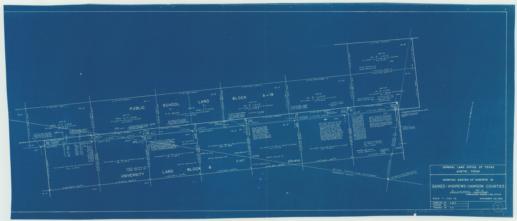
Gaines County Working Sketch 7
-
Map/Doc
69307
-
Collection
General Map Collection
-
Object Dates
11/23/1940 (Creation Date)
-
People and Organizations
Herbert de Synek (Draftsman)
-
Counties
Gaines Andrews Dawson
-
Subjects
Surveying Working Sketch
-
Height x Width
16.5 x 38.5 inches
41.9 x 97.8 cm
-
Scale
1" = 500 varas
Part of: General Map Collection
Flight Mission No. BRA-9M, Frame 80, Jefferson County

Print $20.00
- Digital $50.00
Flight Mission No. BRA-9M, Frame 80, Jefferson County
1953
Size 18.6 x 22.5 inches
Map/Doc 85663
Gregg County Rolled Sketch 26

Print $40.00
- Digital $50.00
Gregg County Rolled Sketch 26
1937
Size 25.8 x 129.0 inches
Map/Doc 9077
Chambers County Sketch File 26

Print $20.00
- Digital $50.00
Chambers County Sketch File 26
1934
Size 19.6 x 24.6 inches
Map/Doc 11066
Mitchell County Boundary File 1a

Print $32.00
- Digital $50.00
Mitchell County Boundary File 1a
Size 13.4 x 8.6 inches
Map/Doc 57344
Map of Polk Co.

Print $40.00
- Digital $50.00
Map of Polk Co.
1906
Size 52.0 x 43.0 inches
Map/Doc 16789
Flight Mission No. CRC-3R, Frame 50, Chambers County

Print $20.00
- Digital $50.00
Flight Mission No. CRC-3R, Frame 50, Chambers County
1956
Size 18.7 x 22.3 inches
Map/Doc 84823
Travis County

Print $40.00
- Digital $50.00
Travis County
1936
Size 43.2 x 54.6 inches
Map/Doc 63078
Bowie County Sketch File 9

Print $10.00
- Digital $50.00
Bowie County Sketch File 9
Size 8.1 x 3.9 inches
Map/Doc 14907
Duval County Sketch File 8c

Print $4.00
- Digital $50.00
Duval County Sketch File 8c
1875
Size 10.9 x 8.6 inches
Map/Doc 21300
Armstrong County Rolled Sketch OS

Print $20.00
- Digital $50.00
Armstrong County Rolled Sketch OS
1902
Size 17.5 x 32.4 inches
Map/Doc 5086
Bexar County Sketch File 29

Print $40.00
- Digital $50.00
Bexar County Sketch File 29
Size 11.3 x 36.7 inches
Map/Doc 10919
Flight Mission No. CGI-3N, Frame 72, Cameron County

Print $20.00
- Digital $50.00
Flight Mission No. CGI-3N, Frame 72, Cameron County
1954
Size 18.5 x 22.3 inches
Map/Doc 84566
You may also like
[R. M. Thompson, Block A and Part of Jones County School Land]
![91222, [R. M. Thompson, Block A and Part of Jones County School Land], Twichell Survey Records](https://historictexasmaps.com/wmedia_w700/maps/91222-1.tif.jpg)
Print $20.00
- Digital $50.00
[R. M. Thompson, Block A and Part of Jones County School Land]
Size 10.4 x 20.9 inches
Map/Doc 91222
[Sketch for Mineral Application 20124, North Fork of Red River]
![77087, [Sketch for Mineral Application 20124, North Fork of Red River], General Map Collection](https://www.historictexasmaps.com/skins/default/img/placeholder/w700.png)
Print $40.00
- Digital $50.00
[Sketch for Mineral Application 20124, North Fork of Red River]
Size 50.8 x 43.5 inches
Map/Doc 77087
Johnson County Working Sketch 6

Print $20.00
- Digital $50.00
Johnson County Working Sketch 6
1951
Size 30.6 x 32.6 inches
Map/Doc 66619
Brazoria County Rolled Sketch 49

Print $20.00
- Digital $50.00
Brazoria County Rolled Sketch 49
1948
Size 24.1 x 36.5 inches
Map/Doc 5186
Flight Mission No. DQN-2K, Frame 142, Calhoun County

Print $20.00
- Digital $50.00
Flight Mission No. DQN-2K, Frame 142, Calhoun County
1953
Size 16.3 x 16.0 inches
Map/Doc 84311
El Paso County Rolled Sketch 52

Print $20.00
- Digital $50.00
El Paso County Rolled Sketch 52
1929
Size 18.6 x 24.5 inches
Map/Doc 5846
General Highway Map, Mitchell County, Texas

Print $20.00
General Highway Map, Mitchell County, Texas
1961
Size 18.1 x 24.6 inches
Map/Doc 79600
Nacogdoches County Working Sketch 7

Print $20.00
- Digital $50.00
Nacogdoches County Working Sketch 7
1962
Size 24.1 x 21.7 inches
Map/Doc 71223
Orange County Sketch File 42

Print $40.00
- Digital $50.00
Orange County Sketch File 42
1873
Size 12.8 x 15.8 inches
Map/Doc 33383
Wichita County

Print $20.00
- Digital $50.00
Wichita County
1924
Size 33.7 x 40.2 inches
Map/Doc 63123
Current Miscellaneous File 19

Print $10.00
- Digital $50.00
Current Miscellaneous File 19
Size 11.8 x 8.8 inches
Map/Doc 73849
Maps of Gulf Intracoastal Waterway, Texas - Sabine River to the Rio Grande and connecting waterways including ship channels

Print $20.00
- Digital $50.00
Maps of Gulf Intracoastal Waterway, Texas - Sabine River to the Rio Grande and connecting waterways including ship channels
1966
Size 15.7 x 22.0 inches
Map/Doc 61986