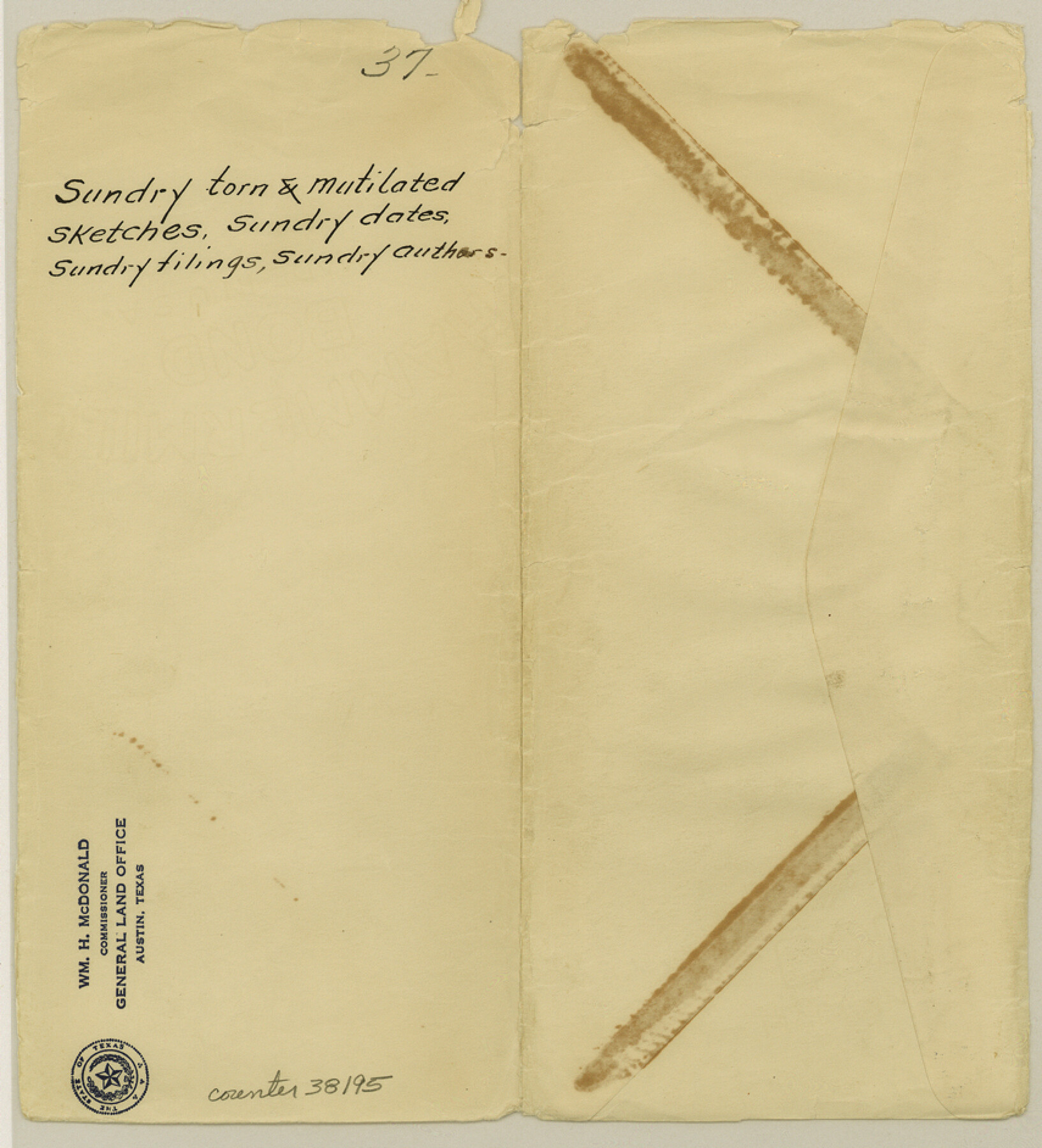
Tom Green County Sketch File 37
[Jacket only]
-
Map/Doc
38195
-
Collection
General Map Collection
-
Counties
Tom Green
-
Subjects
Surveying Sketch File
-
Height x Width
9.4 x 8.5 inches
23.9 x 21.6 cm
-
Medium
paper, manuscript
Part of: General Map Collection
Panola County Sketch File 8

Print $4.00
- Digital $50.00
Panola County Sketch File 8
1862
Size 12.8 x 7.8 inches
Map/Doc 33459
Hardeman County Aerial Photograph Index Sheet 3

Print $20.00
- Digital $50.00
Hardeman County Aerial Photograph Index Sheet 3
1950
Size 20.3 x 17.0 inches
Map/Doc 83699
Nueces County Rolled Sketch 128 A-E

Print $10.00
- Digital $50.00
Nueces County Rolled Sketch 128 A-E
1998
Size 11.0 x 8.5 inches
Map/Doc 41611
Map of the Straits of Florida and Gulf of Mexico

Print $20.00
- Digital $50.00
Map of the Straits of Florida and Gulf of Mexico
1851
Size 18.3 x 27.4 inches
Map/Doc 72675
Pecos County Rolled Sketch 106

Print $40.00
- Digital $50.00
Pecos County Rolled Sketch 106
1940
Size 45.1 x 58.4 inches
Map/Doc 9718
Galveston County Rolled Sketch S

Print $20.00
- Digital $50.00
Galveston County Rolled Sketch S
1935
Size 36.0 x 46.8 inches
Map/Doc 9088
Flight Mission No. CGI-3N, Frame 144, Cameron County

Print $20.00
- Digital $50.00
Flight Mission No. CGI-3N, Frame 144, Cameron County
1954
Size 18.8 x 22.4 inches
Map/Doc 84617
Caney Cr. of East San Jacinto

Print $2.00
- Digital $50.00
Caney Cr. of East San Jacinto
Size 5.3 x 6.7 inches
Map/Doc 69745
Flight Mission No. DQN-1K, Frame 80, Calhoun County

Print $20.00
- Digital $50.00
Flight Mission No. DQN-1K, Frame 80, Calhoun County
1953
Size 18.4 x 22.1 inches
Map/Doc 84165
Houston County Working Sketch 30

Print $20.00
- Digital $50.00
Houston County Working Sketch 30
1990
Size 36.9 x 37.0 inches
Map/Doc 66260
Frio County Working Sketch 4

Print $20.00
- Digital $50.00
Frio County Working Sketch 4
1924
Size 26.4 x 27.2 inches
Map/Doc 69278
Atascosa County Sketch File 26

Print $4.00
- Digital $50.00
Atascosa County Sketch File 26
Size 8.2 x 12.7 inches
Map/Doc 13794
You may also like

Kimble County Working Sketch 48

Print $20.00
- Digital $50.00
Kimble County Working Sketch 48
1951
Size 23.2 x 22.1 inches
Map/Doc 70116
Flight Mission No. DAG-24K, Frame 130, Matagorda County

Print $20.00
- Digital $50.00
Flight Mission No. DAG-24K, Frame 130, Matagorda County
1953
Size 17.1 x 18.8 inches
Map/Doc 86548
Stephens County Working Sketch 27

Print $20.00
- Digital $50.00
Stephens County Working Sketch 27
1976
Size 34.4 x 32.3 inches
Map/Doc 63970
Harris County Working Sketch 128

Print $20.00
- Digital $50.00
Harris County Working Sketch 128
1996
Size 15.0 x 14.0 inches
Map/Doc 66020
Blanco County Working Sketch 25

Print $20.00
- Digital $50.00
Blanco County Working Sketch 25
1966
Size 24.8 x 24.8 inches
Map/Doc 67385

Flight Mission No. BQR-13K, Frame 162, Brazoria County

Print $20.00
- Digital $50.00
Flight Mission No. BQR-13K, Frame 162, Brazoria County
1952
Size 18.6 x 22.4 inches
Map/Doc 84087
Edwards County

Print $20.00
- Digital $50.00
Edwards County
1893
Size 30.8 x 33.1 inches
Map/Doc 3507
Jim Hogg County Rolled Sketch 7

Print $20.00
- Digital $50.00
Jim Hogg County Rolled Sketch 7
1948
Size 32.5 x 28.2 inches
Map/Doc 6442
Map of Lockhart, Caldwell Co., Texas

Print $20.00
- Digital $50.00
Map of Lockhart, Caldwell Co., Texas
1907
Size 30.5 x 38.9 inches
Map/Doc 4461
Map of Part of the YL Ranch

Print $20.00
- Digital $50.00
Map of Part of the YL Ranch
1917
Size 29.1 x 27.3 inches
Map/Doc 4442