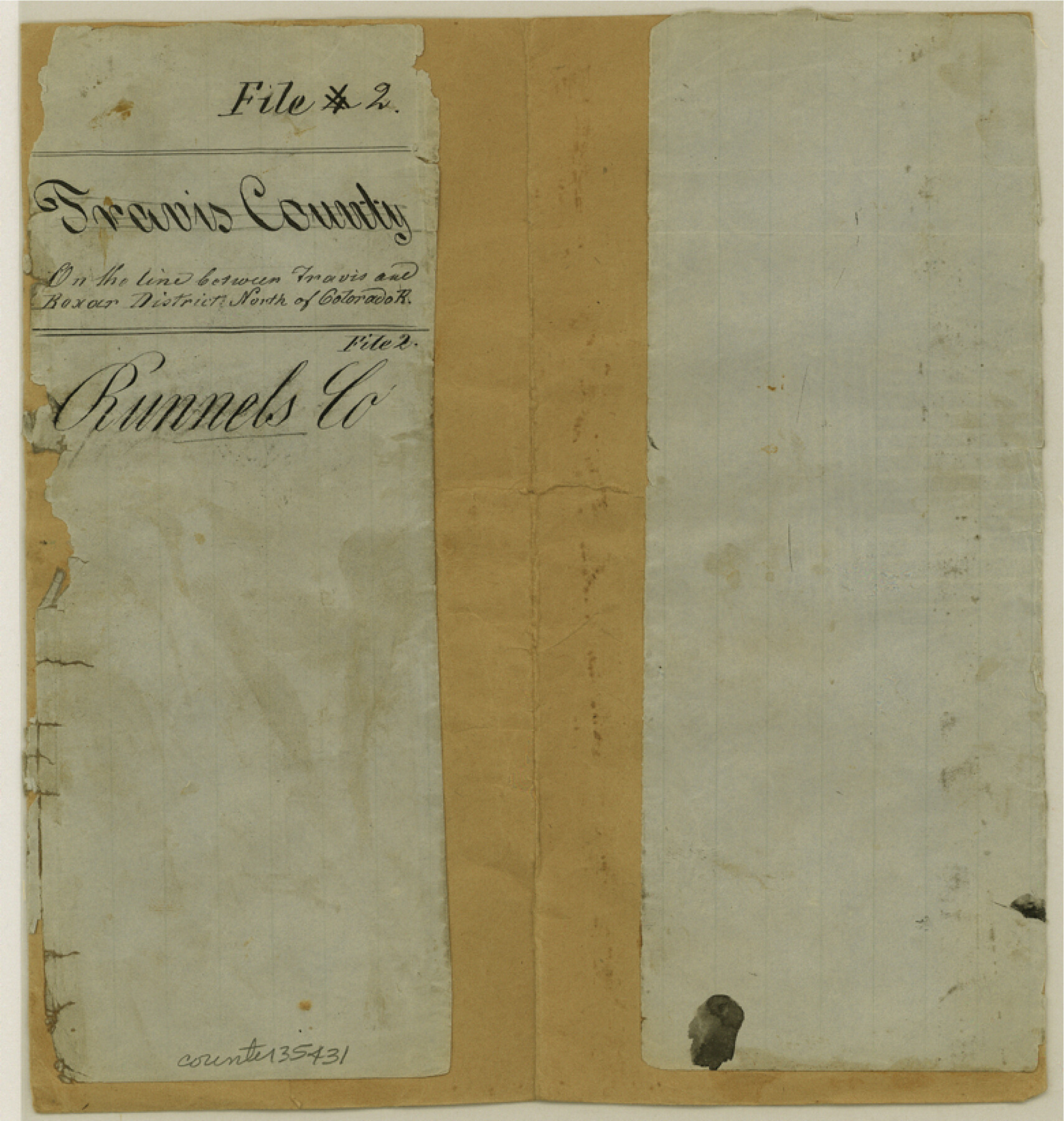
Runnels County Sketch File 2
[Sketch of surveys along the dividing line between Bexar and Travis Districts]
-
Map/Doc
35431
-
Collection
General Map Collection
-
Object Dates
6/3/1854 (Creation Date)
-
Counties
Runnels Taylor
-
Subjects
Surveying Sketch File
-
Height x Width
8.2 x 7.8 inches
20.8 x 19.8 cm
-
Medium
paper, manuscript
-
Features
Colorado River
Part of: General Map Collection
St. Louis, Brownsville & Mexico Railway Location map from Mile 40 to Mile 60

Print $40.00
- Digital $50.00
St. Louis, Brownsville & Mexico Railway Location map from Mile 40 to Mile 60
1905
Size 19.6 x 74.9 inches
Map/Doc 64079
[Sketch for Mineral Application 24072, San Jacinto River]
![65606, [Sketch for Mineral Application 24072, San Jacinto River], General Map Collection](https://historictexasmaps.com/wmedia_w700/maps/65606.tif.jpg)
Print $20.00
- Digital $50.00
[Sketch for Mineral Application 24072, San Jacinto River]
1929
Size 23.2 x 17.8 inches
Map/Doc 65606
Floyd County Rolled Sketch V

Print $35.00
- Digital $50.00
Floyd County Rolled Sketch V
1918
Size 11.2 x 8.8 inches
Map/Doc 44548
Howard County Sketch File 15

Print $6.00
- Digital $50.00
Howard County Sketch File 15
Size 11.2 x 8.8 inches
Map/Doc 26875
Flight Mission No. CRE-3R, Frame 42, Jackson County

Print $20.00
- Digital $50.00
Flight Mission No. CRE-3R, Frame 42, Jackson County
1956
Size 18.6 x 22.4 inches
Map/Doc 85389
Map of the Fort Worth & Denver City Railway, Hartley County, Texas

Print $40.00
- Digital $50.00
Map of the Fort Worth & Denver City Railway, Hartley County, Texas
1887
Size 21.9 x 89.8 inches
Map/Doc 64390
Midland County Working Sketch 18

Print $40.00
- Digital $50.00
Midland County Working Sketch 18
1956
Size 26.5 x 49.5 inches
Map/Doc 70998
Rio Grande, Hargill Sheet

Print $20.00
- Digital $50.00
Rio Grande, Hargill Sheet
1935
Size 37.1 x 38.1 inches
Map/Doc 65121
Map of Fannin County

Print $20.00
- Digital $50.00
Map of Fannin County
1845
Size 34.7 x 47.0 inches
Map/Doc 87153
Map of Austin County

Print $20.00
- Digital $50.00
Map of Austin County
1860
Size 27.9 x 26.7 inches
Map/Doc 3252
Hays County Rolled Sketch 22

Print $20.00
- Digital $50.00
Hays County Rolled Sketch 22
1924
Size 19.4 x 20.6 inches
Map/Doc 6178
Map of Atascosa County

Print $20.00
- Digital $50.00
Map of Atascosa County
1879
Size 24.5 x 24.8 inches
Map/Doc 3250
You may also like
Map of the upper surveys in Robertson's Colony Sold by the State of Coahuila and Texas

Print $20.00
- Digital $50.00
Map of the upper surveys in Robertson's Colony Sold by the State of Coahuila and Texas
Size 26.8 x 22.0 inches
Map/Doc 82
Cottle County Sketch File 6b

Print $2.00
- Digital $50.00
Cottle County Sketch File 6b
Size 8.8 x 14.1 inches
Map/Doc 19477
Titus County Boundary File 3

Print $6.00
- Digital $50.00
Titus County Boundary File 3
Size 7.6 x 6.9 inches
Map/Doc 59300
Hood County Sketch File 21

Print $12.00
- Digital $50.00
Hood County Sketch File 21
1873
Size 7.8 x 6.7 inches
Map/Doc 26609
Brewster County Working Sketch Graphic Index, South Part

Print $40.00
- Digital $50.00
Brewster County Working Sketch Graphic Index, South Part
1955
Size 48.5 x 40.4 inches
Map/Doc 76475
Galveston County Sketch File 8

Print $4.00
- Digital $50.00
Galveston County Sketch File 8
1862
Size 11.2 x 8.8 inches
Map/Doc 23365
Fisher County

Print $40.00
- Digital $50.00
Fisher County
1944
Size 48.4 x 42.5 inches
Map/Doc 73147
Harris County Sketch File 82

Print $20.00
- Digital $50.00
Harris County Sketch File 82
Size 19.6 x 25.3 inches
Map/Doc 11670
Reeves County Rolled Sketch 20

Print $20.00
- Digital $50.00
Reeves County Rolled Sketch 20
Size 32.1 x 38.4 inches
Map/Doc 9852
[Sketch for Mineral Application 26501 - Sabine River, T. A. Oldhausen]
![2838, [Sketch for Mineral Application 26501 - Sabine River, T. A. Oldhausen], General Map Collection](https://historictexasmaps.com/wmedia_w700/maps/2838.tif.jpg)
Print $20.00
- Digital $50.00
[Sketch for Mineral Application 26501 - Sabine River, T. A. Oldhausen]
1931
Size 24.3 x 36.1 inches
Map/Doc 2838
Mason County Sketch File 9

Print $20.00
- Digital $50.00
Mason County Sketch File 9
1880
Size 20.5 x 13.9 inches
Map/Doc 12034
Karnes County Working Sketch 2

Print $20.00
- Digital $50.00
Karnes County Working Sketch 2
1939
Size 18.8 x 20.0 inches
Map/Doc 66650