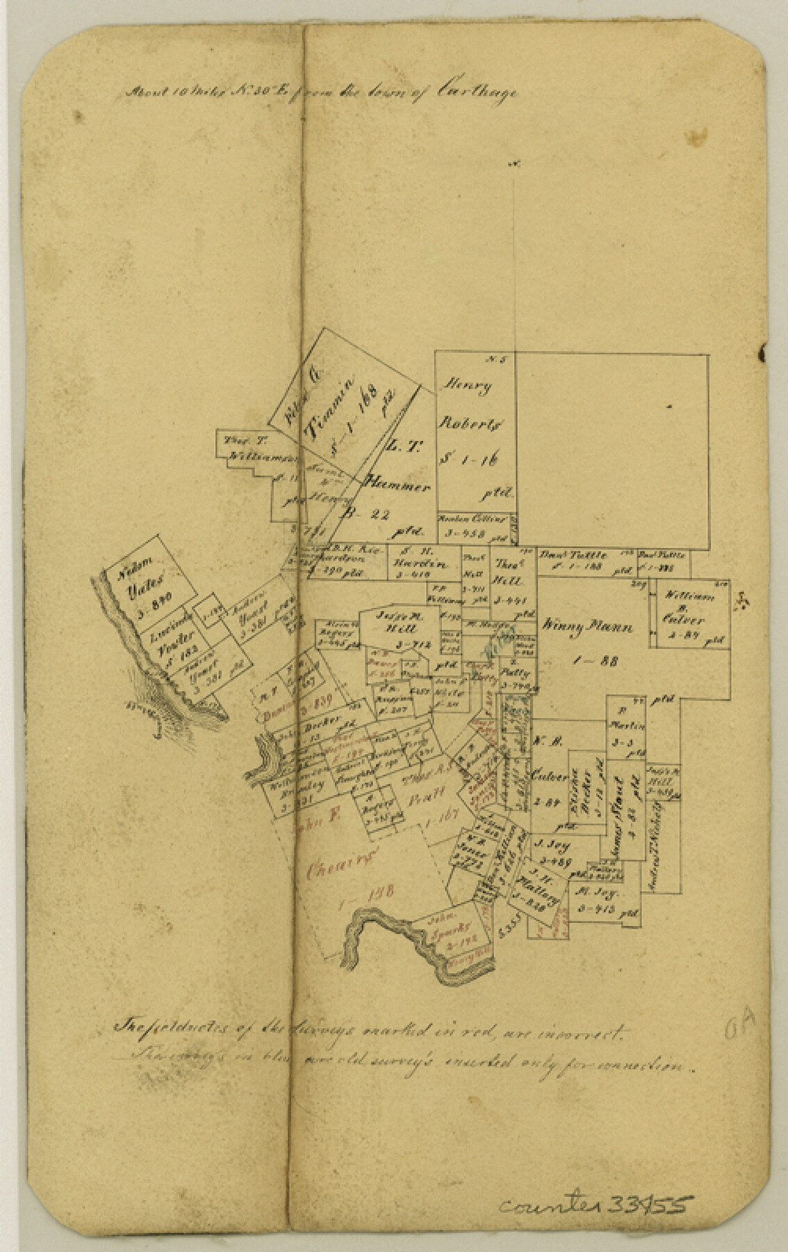
Panola County Sketch File 6
[Sketch northeast of Carthage]
-
Map/Doc
33455
-
Collection
General Map Collection
-
Object Dates
2/3/1862 (Creation Date)
2/3/1862 (File Date)
-
People and Organizations
W. Rosenberg (Surveyor/Engineer)
-
Counties
Panola Harrison
-
Subjects
Surveying Sketch File
-
Height x Width
7.9 x 5.0 inches
20.1 x 12.7 cm
-
Medium
paper, manuscript
Part of: General Map Collection
Wise County Sketch File 13

Print $4.00
- Digital $50.00
Wise County Sketch File 13
Size 9.0 x 15.2 inches
Map/Doc 40546
Flight Mission No. CUG-3P, Frame 15, Kleberg County

Print $20.00
- Digital $50.00
Flight Mission No. CUG-3P, Frame 15, Kleberg County
1956
Size 18.8 x 22.4 inches
Map/Doc 86225
Flight Mission No. BQR-4K, Frame 67, Brazoria County

Print $20.00
- Digital $50.00
Flight Mission No. BQR-4K, Frame 67, Brazoria County
1952
Size 18.7 x 22.5 inches
Map/Doc 84000
La Salle County Rolled Sketch 30

Print $20.00
- Digital $50.00
La Salle County Rolled Sketch 30
Size 30.1 x 40.8 inches
Map/Doc 6590
Lynn County Boundary File 9a

Print $80.00
- Digital $50.00
Lynn County Boundary File 9a
Size 9.3 x 6.4 inches
Map/Doc 56669
Ochiltree County Sketch File 8

Print $16.00
- Digital $50.00
Ochiltree County Sketch File 8
1933
Size 11.2 x 8.7 inches
Map/Doc 33186
Clay County Boundary File 1

Print $10.00
- Digital $50.00
Clay County Boundary File 1
Size 8.8 x 11.2 inches
Map/Doc 51356
Concho County Sketch File 29

Print $12.00
- Digital $50.00
Concho County Sketch File 29
1886
Size 11.7 x 9.0 inches
Map/Doc 19169
Hutchinson County Sketch File 14

Print $20.00
- Digital $50.00
Hutchinson County Sketch File 14
1920
Size 21.5 x 33.8 inches
Map/Doc 11812

Fayette County Working Sketch 6

Print $20.00
- Digital $50.00
Fayette County Working Sketch 6
1981
Size 17.0 x 15.1 inches
Map/Doc 69170
Flight Mission No. DCL-7C, Frame 53, Kenedy County

Print $20.00
- Digital $50.00
Flight Mission No. DCL-7C, Frame 53, Kenedy County
1943
Size 16.7 x 16.4 inches
Map/Doc 86041
You may also like
Dallam County Sketch File 16

Print $28.00
- Digital $50.00
Dallam County Sketch File 16
1993
Size 11.5 x 8.7 inches
Map/Doc 20390
Liberty County

Print $40.00
- Digital $50.00
Liberty County
1926
Size 49.6 x 52.5 inches
Map/Doc 16879
Sutton County Rolled Sketch 48

Print $20.00
- Digital $50.00
Sutton County Rolled Sketch 48
1946
Size 35.9 x 22.9 inches
Map/Doc 7889
General Highway Map, Culberson County, Texas

Print $20.00
General Highway Map, Culberson County, Texas
1940
Size 25.2 x 18.5 inches
Map/Doc 79064
Polk County Working Sketch 25

Print $20.00
- Digital $50.00
Polk County Working Sketch 25
1958
Size 34.6 x 29.0 inches
Map/Doc 71641
History of Texas from its First Settlement in 1685 to its Annexation to the United States in 1846 (Vol. 2)

History of Texas from its First Settlement in 1685 to its Annexation to the United States in 1846 (Vol. 2)
1856
Map/Doc 97391
Harrison County Sketch File 18

Print $20.00
- Digital $50.00
Harrison County Sketch File 18
1954
Size 23.2 x 26.9 inches
Map/Doc 11691
Johnson County Sketch File 3

Print $4.00
- Digital $50.00
Johnson County Sketch File 3
Size 10.1 x 8.0 inches
Map/Doc 28433
Dimmit County Sketch File 21a

Print $12.00
- Digital $50.00
Dimmit County Sketch File 21a
1901
Size 8.9 x 7.8 inches
Map/Doc 21123
Mason County Working Sketch 24

Print $20.00
- Digital $50.00
Mason County Working Sketch 24
2008
Size 20.5 x 26.5 inches
Map/Doc 88825
Caddo Lake and Subdivision

Print $20.00
- Digital $50.00
Caddo Lake and Subdivision
1918
Size 35.0 x 29.8 inches
Map/Doc 93283
Flight Mission No. CZW-2R, Frame 27, Hardeman County

Print $20.00
- Digital $50.00
Flight Mission No. CZW-2R, Frame 27, Hardeman County
1956
Size 18.8 x 22.4 inches
Map/Doc 85238