Loving Co.
-
Map/Doc
16884
-
Collection
General Map Collection
-
Object Dates
1902 (Creation Date)
-
People and Organizations
Texas General Land Office (Publisher)
L.W. Jelinek (Compiler)
L.W. Jelinek (Draftsman)
-
Counties
Loving
-
Subjects
County
-
Height x Width
31.2 x 45.0 inches
79.2 x 114.3 cm
-
Comments
Conservation funded in 2007 by Friends of the Texas General Land Office.
-
Features
Pecos River
Mentone
Part of: General Map Collection
Flight Mission No. DAG-21K, Frame 131, Matagorda County
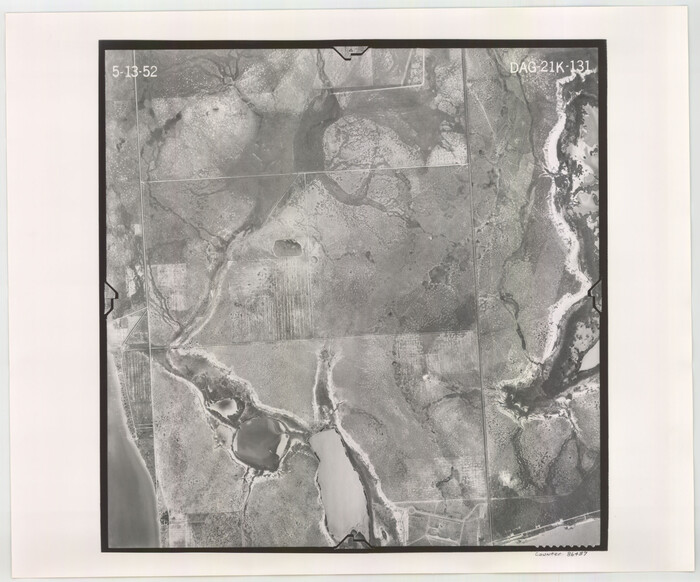

Print $20.00
- Digital $50.00
Flight Mission No. DAG-21K, Frame 131, Matagorda County
1952
Size 18.6 x 22.4 inches
Map/Doc 86457
Lampasas County Sketch File 12
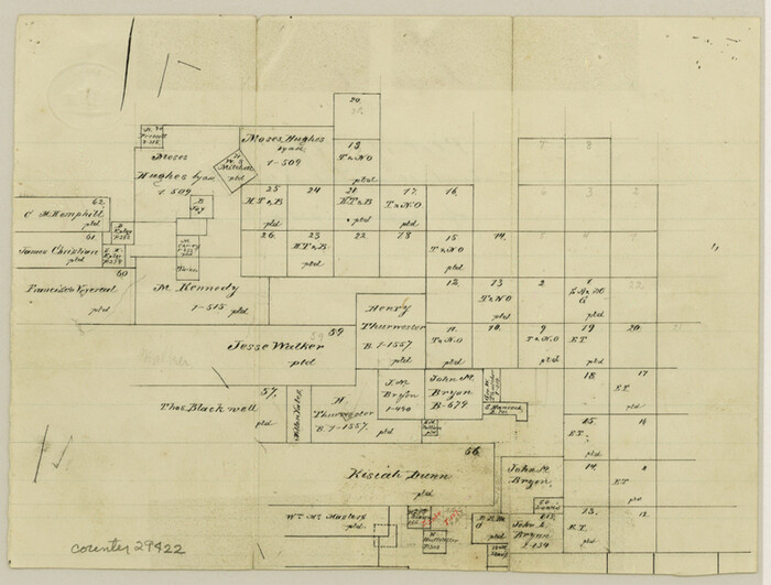

Print $8.00
- Digital $50.00
Lampasas County Sketch File 12
1874
Size 6.0 x 7.9 inches
Map/Doc 29422
Hood County Working Sketch 10
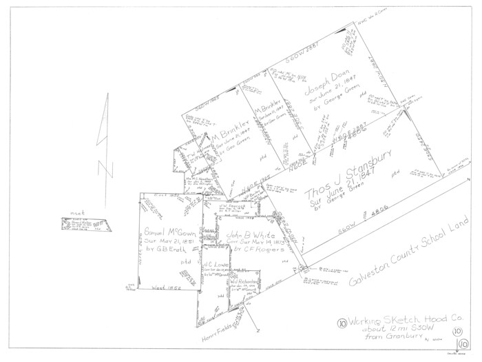

Print $20.00
- Digital $50.00
Hood County Working Sketch 10
1974
Size 26.7 x 35.6 inches
Map/Doc 66204
Dimmit County Working Sketch 1
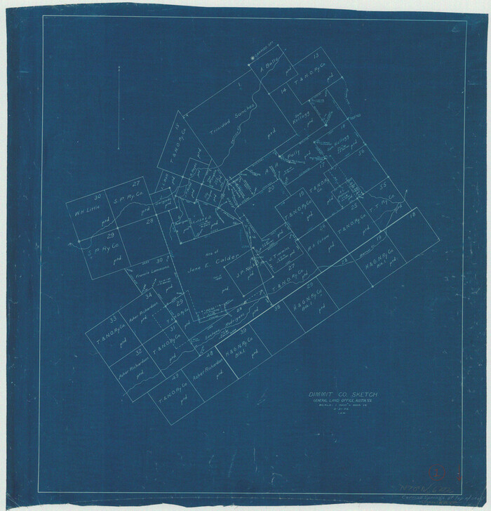

Print $20.00
- Digital $50.00
Dimmit County Working Sketch 1
1906
Size 23.6 x 22.7 inches
Map/Doc 68662
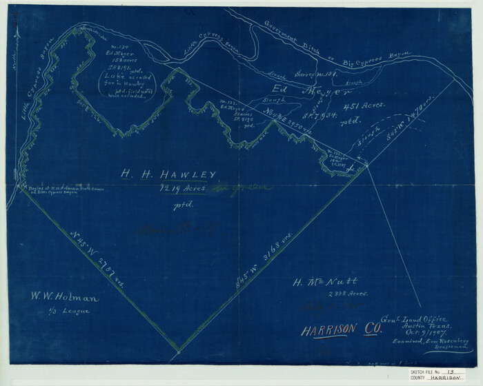
Harrison County Sketch File 13

Print $20.00
- Digital $50.00
Harrison County Sketch File 13
1907
Size 15.2 x 19.0 inches
Map/Doc 11688
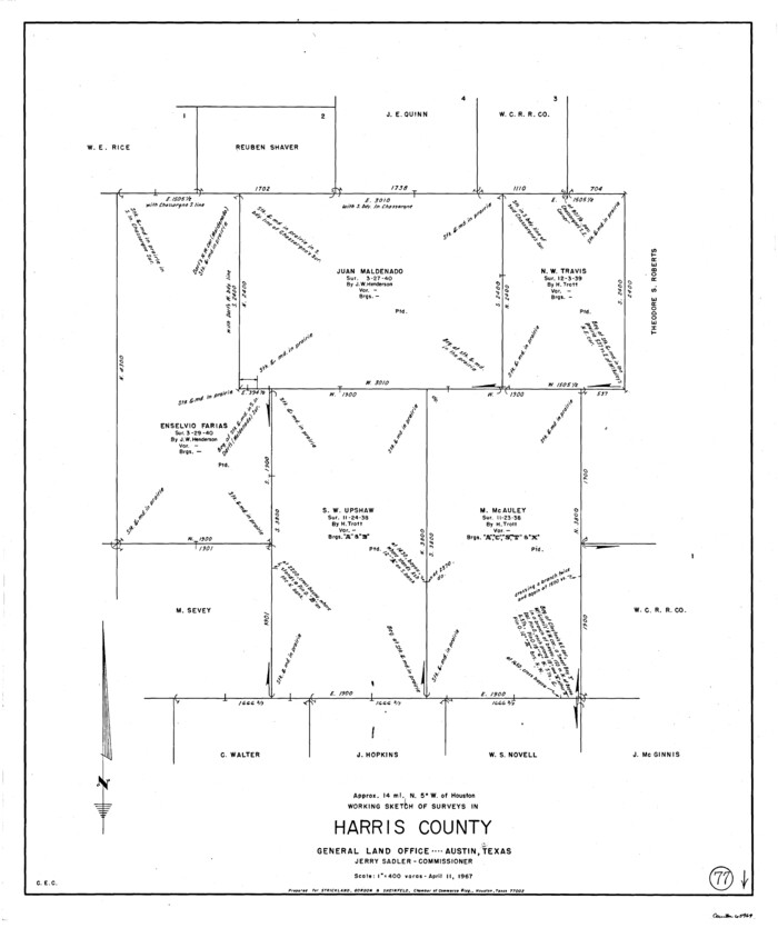
Harris County Working Sketch 77

Print $20.00
- Digital $50.00
Harris County Working Sketch 77
1967
Size 28.6 x 24.0 inches
Map/Doc 65969
[Beaumont, Sour Lake and Western Ry. Right of Way and Alignment - Frisco]
![64124, [Beaumont, Sour Lake and Western Ry. Right of Way and Alignment - Frisco], General Map Collection](https://historictexasmaps.com/wmedia_w700/maps/64124.tif.jpg)
![64124, [Beaumont, Sour Lake and Western Ry. Right of Way and Alignment - Frisco], General Map Collection](https://historictexasmaps.com/wmedia_w700/maps/64124.tif.jpg)
Print $20.00
- Digital $50.00
[Beaumont, Sour Lake and Western Ry. Right of Way and Alignment - Frisco]
1910
Size 20.4 x 46.0 inches
Map/Doc 64124
Flight Mission No. DQN-3K, Frame 52, Calhoun County


Print $20.00
- Digital $50.00
Flight Mission No. DQN-3K, Frame 52, Calhoun County
1953
Size 18.4 x 22.2 inches
Map/Doc 84353
[Beaumont, Sour Lake and Western Ry. Right of Way and Alignment - Frisco]
![64114, [Beaumont, Sour Lake and Western Ry. Right of Way and Alignment - Frisco], General Map Collection](https://historictexasmaps.com/wmedia_w700/maps/64114.tif.jpg)
![64114, [Beaumont, Sour Lake and Western Ry. Right of Way and Alignment - Frisco], General Map Collection](https://historictexasmaps.com/wmedia_w700/maps/64114.tif.jpg)
Print $20.00
- Digital $50.00
[Beaumont, Sour Lake and Western Ry. Right of Way and Alignment - Frisco]
1910
Size 19.9 x 46.0 inches
Map/Doc 64114
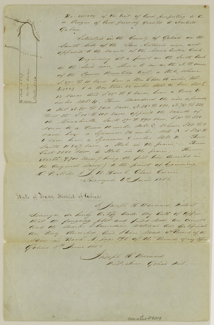
Goliad County Sketch File 3

Print $4.00
- Digital $50.00
Goliad County Sketch File 3
1852
Size 12.4 x 8.2 inches
Map/Doc 24214
Schleicher County Rolled Sketch 5


Print $20.00
- Digital $50.00
Schleicher County Rolled Sketch 5
Size 19.3 x 23.8 inches
Map/Doc 7748
You may also like
Travis County Sketch File 53


Print $6.00
- Digital $50.00
Travis County Sketch File 53
1945
Size 14.2 x 9.0 inches
Map/Doc 38395
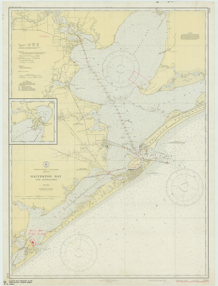
Galveston Bay and Approaches

Print $20.00
- Digital $50.00
Galveston Bay and Approaches
1938
Size 45.4 x 34.6 inches
Map/Doc 69875
Pecos County Rolled Sketch 140
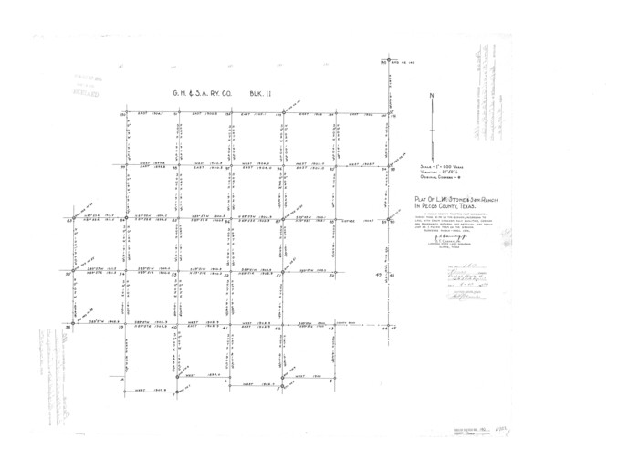

Print $20.00
- Digital $50.00
Pecos County Rolled Sketch 140
1954
Size 28.4 x 38.6 inches
Map/Doc 7275
Hamilton County Sketch File 6

Print $6.00
- Digital $50.00
Hamilton County Sketch File 6
Size 15.7 x 10.6 inches
Map/Doc 24910
San Saba County Working Sketch 7


Print $20.00
- Digital $50.00
San Saba County Working Sketch 7
1952
Size 35.5 x 29.1 inches
Map/Doc 63795
La Salle County Working Sketch 25


Print $20.00
- Digital $50.00
La Salle County Working Sketch 25
1947
Size 32.8 x 41.0 inches
Map/Doc 70326
Controlled Mosaic by Jack Amman Photogrammetric Engineers, Inc - Sheet 54
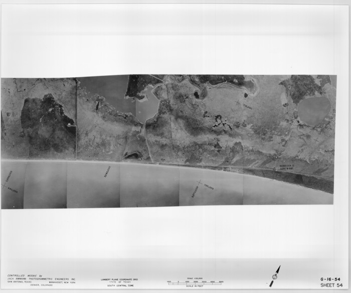

Print $20.00
- Digital $50.00
Controlled Mosaic by Jack Amman Photogrammetric Engineers, Inc - Sheet 54
1954
Size 20.0 x 24.0 inches
Map/Doc 83513
Newton County Working Sketch 14
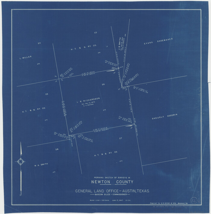

Print $20.00
- Digital $50.00
Newton County Working Sketch 14
1947
Size 22.3 x 21.9 inches
Map/Doc 71260
Comal County Sketch File 2
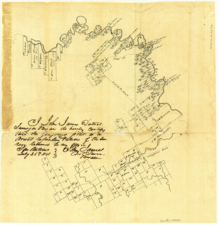

Print $22.00
- Digital $50.00
Comal County Sketch File 2
1848
Size 13.7 x 13.3 inches
Map/Doc 18997
Webb County Rolled Sketch 54
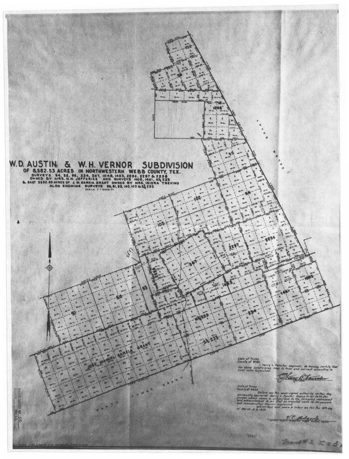

Print $20.00
- Digital $50.00
Webb County Rolled Sketch 54
1935
Size 24.7 x 18.8 inches
Map/Doc 8206
Erath County Sketch File 9
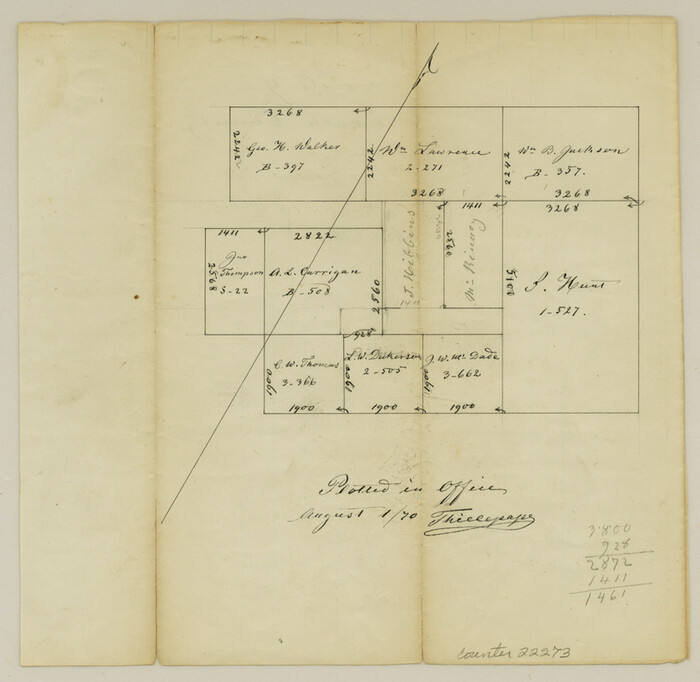

Print $4.00
- Digital $50.00
Erath County Sketch File 9
1870
Size 8.2 x 8.4 inches
Map/Doc 22273
Carte de la Louisiane et Pays Voisins pour servir a l'Histoire Generale des Voyages


Print $20.00
- Digital $50.00
Carte de la Louisiane et Pays Voisins pour servir a l'Histoire Generale des Voyages
1757
Size 10.1 x 15.5 inches
Map/Doc 97278

