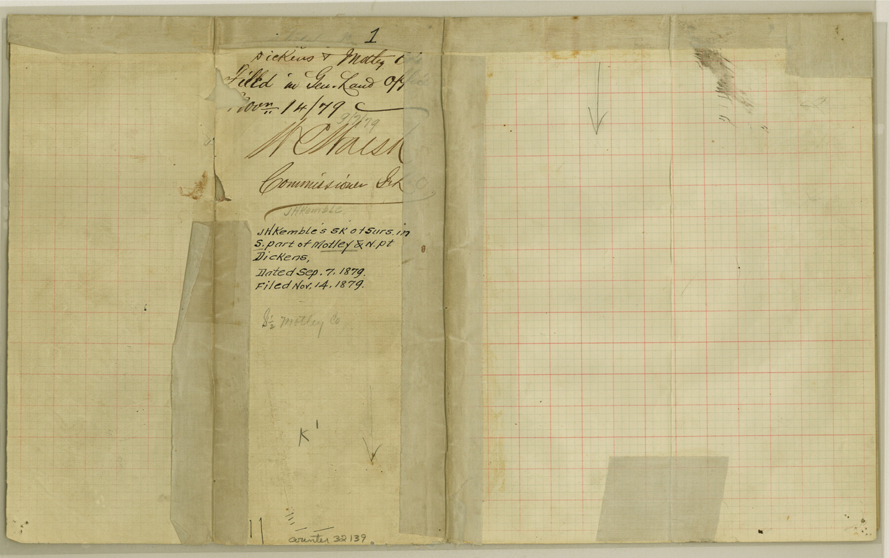
Motley County Sketch File 1 (S)
[Sketch of surveys in south part of Motley County and north part of Dickens County]
-
Map/Doc
32139
-
Collection
General Map Collection
-
Object Dates
9/7/1879 (Creation Date)
11/14/1879 (File Date)
-
People and Organizations
J.H. Kemble (Surveyor/Engineer)
-
Counties
Motley Dickens
-
Subjects
Surveying Sketch File
-
Height x Width
9.0 x 14.3 inches
22.9 x 36.3 cm
-
Medium
paper, manuscript
-
Scale
1:3800
-
Features
South Fork of Pease River
Jackson Creek
White River
Geneva Creek
Head of Big Wichita River
Part of: General Map Collection
Callahan County Sketch File 17

Print $18.00
- Digital $50.00
Callahan County Sketch File 17
Size 11.0 x 8.5 inches
Map/Doc 93444
Nueces County Sketch File 28

Print $6.00
- Digital $50.00
Nueces County Sketch File 28
Size 10.0 x 10.9 inches
Map/Doc 32596
Orange County Working Sketch 25

Print $20.00
- Digital $50.00
Orange County Working Sketch 25
1949
Size 30.7 x 32.6 inches
Map/Doc 71357
Outer Continental Shelf Leasing Maps (Louisiana Offshore Operations)

Print $20.00
- Digital $50.00
Outer Continental Shelf Leasing Maps (Louisiana Offshore Operations)
1954
Size 20.4 x 13.1 inches
Map/Doc 76098
Revised Map of MacDade, Bastrop County, Texas

Print $20.00
- Digital $50.00
Revised Map of MacDade, Bastrop County, Texas
Size 26.6 x 18.4 inches
Map/Doc 78478
Castro County Working Sketch 9

Print $20.00
- Digital $50.00
Castro County Working Sketch 9
1965
Size 43.1 x 47.7 inches
Map/Doc 68646
Crosby County Working Sketch 14

Print $20.00
- Digital $50.00
Crosby County Working Sketch 14
1976
Size 41.6 x 32.3 inches
Map/Doc 68448
Milam County Rolled Sketch 5A

Print $20.00
- Digital $50.00
Milam County Rolled Sketch 5A
1997
Size 28.0 x 39.8 inches
Map/Doc 6778
Dimmit County Working Sketch 43

Print $20.00
- Digital $50.00
Dimmit County Working Sketch 43
1978
Size 20.0 x 30.0 inches
Map/Doc 68704
Atascosa County Boundary File 7

Print $20.00
- Digital $50.00
Atascosa County Boundary File 7
Size 8.2 x 10.1 inches
Map/Doc 50213
Lipscomb County Working Sketch 7

Print $20.00
- Digital $50.00
Lipscomb County Working Sketch 7
1982
Size 42.7 x 21.4 inches
Map/Doc 70583
Travis County Sketch File 51

Print $8.00
- Digital $50.00
Travis County Sketch File 51
1941
Size 14.3 x 8.9 inches
Map/Doc 38387
You may also like
Harris County Historic Topographic 30

Print $20.00
- Digital $50.00
Harris County Historic Topographic 30
1915
Size 29.2 x 22.7 inches
Map/Doc 65841
[Coordinates for Block H, Sections 1 and 2 and Block C41, Section 4]
![92566, [Coordinates for Block H, Sections 1 and 2 and Block C41, Section 4], Twichell Survey Records](https://historictexasmaps.com/wmedia_w700/maps/92566-1.tif.jpg)
Print $3.00
- Digital $50.00
[Coordinates for Block H, Sections 1 and 2 and Block C41, Section 4]
1940
Size 11.4 x 17.4 inches
Map/Doc 92566
Culberson County Working Sketch 8

Print $20.00
- Digital $50.00
Culberson County Working Sketch 8
1914
Size 35.4 x 36.0 inches
Map/Doc 68460
Map of Wood County

Print $20.00
- Digital $50.00
Map of Wood County
1872
Size 15.6 x 16.8 inches
Map/Doc 4167
Real County Working Sketch 84

Print $20.00
- Digital $50.00
Real County Working Sketch 84
1986
Size 25.0 x 40.7 inches
Map/Doc 71976
Flight Mission No. DAG-24K, Frame 54, Matagorda County

Print $20.00
- Digital $50.00
Flight Mission No. DAG-24K, Frame 54, Matagorda County
1953
Size 17.2 x 19.1 inches
Map/Doc 86541
Sketch Terrell and Val Verde Counties

Print $20.00
- Digital $50.00
Sketch Terrell and Val Verde Counties
1932
Size 41.9 x 18.3 inches
Map/Doc 91947
Kinney County Sketch File 17

Print $3.00
- Digital $50.00
Kinney County Sketch File 17
1888
Size 11.7 x 16.9 inches
Map/Doc 11942

Flight Mission No. CUG-3P, Frame 17, Kleberg County

Print $20.00
- Digital $50.00
Flight Mission No. CUG-3P, Frame 17, Kleberg County
1956
Size 18.6 x 22.3 inches
Map/Doc 86227
Soil Map - Ohio-Michigan, Toledo Set

Print $20.00
- Digital $50.00
Soil Map - Ohio-Michigan, Toledo Set
1902
Size 21.4 x 30.5 inches
Map/Doc 3023
Jack County Sketch File 18

Print $4.00
- Digital $50.00
Jack County Sketch File 18
1880
Size 10.4 x 8.2 inches
Map/Doc 27553