[Coordinates for Block H, Sections 1 and 2 and Block C41, Section 4]
DN128
-
Map/Doc
92566
-
Collection
Twichell Survey Records
-
Object Dates
10/1940 (Creation Date)
-
People and Organizations
W. Jeff Williams (Surveyor/Engineer)
-
Counties
Dawson Lynn
-
Height x Width
11.4 x 17.4 inches
29.0 x 44.2 cm
Part of: Twichell Survey Records
[Blocks 43 & 10, W. P. Winsen 10 Surveys Known as 50 Cent Land]
![91382, [Blocks 43 & 10, W. P. Winsen 10 Surveys Known as 50 Cent Land], Twichell Survey Records](https://historictexasmaps.com/wmedia_w700/maps/91382-1.tif.jpg)
![91382, [Blocks 43 & 10, W. P. Winsen 10 Surveys Known as 50 Cent Land], Twichell Survey Records](https://historictexasmaps.com/wmedia_w700/maps/91382-1.tif.jpg)
Print $20.00
- Digital $50.00
[Blocks 43 & 10, W. P. Winsen 10 Surveys Known as 50 Cent Land]
1882
Size 36.6 x 16.8 inches
Map/Doc 91382
[Block B9 and 3KA]
![90329, [Block B9 and 3KA], Twichell Survey Records](https://historictexasmaps.com/wmedia_w700/maps/90329-1.tif.jpg)
![90329, [Block B9 and 3KA], Twichell Survey Records](https://historictexasmaps.com/wmedia_w700/maps/90329-1.tif.jpg)
Print $20.00
- Digital $50.00
[Block B9 and 3KA]
Size 31.4 x 17.8 inches
Map/Doc 90329
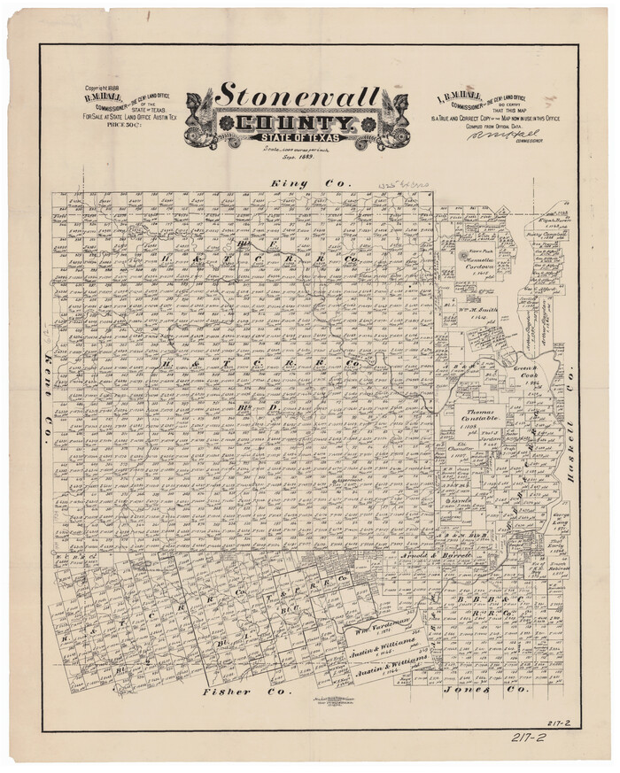
Stonewall County

Print $20.00
- Digital $50.00
Stonewall County
1889
Size 19.6 x 24.3 inches
Map/Doc 91883
[Blocks Z3, S, H1 and 1 and vicinity]
![93120, [Blocks Z3, S, H1 and 1 and vicinity], Twichell Survey Records](https://historictexasmaps.com/wmedia_w700/maps/93120-1.tif.jpg)
![93120, [Blocks Z3, S, H1 and 1 and vicinity], Twichell Survey Records](https://historictexasmaps.com/wmedia_w700/maps/93120-1.tif.jpg)
Print $40.00
- Digital $50.00
[Blocks Z3, S, H1 and 1 and vicinity]
Size 54.0 x 32.2 inches
Map/Doc 93120
Mrs. R. L. Westerman Subdivision of 2 1/2 Acres out of North Half of Survey Number 1, Block Number 36, Township 5 North. Dawson County, Texas


Print $20.00
- Digital $50.00
Mrs. R. L. Westerman Subdivision of 2 1/2 Acres out of North Half of Survey Number 1, Block Number 36, Township 5 North. Dawson County, Texas
1924
Size 18.6 x 24.5 inches
Map/Doc 92591
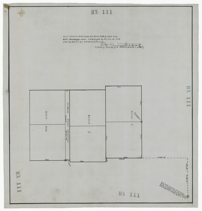
Plat Showing Positions of Blocks S, I, and X02 and Unsurveyed Area

Print $20.00
- Digital $50.00
Plat Showing Positions of Blocks S, I, and X02 and Unsurveyed Area
1928
Size 12.0 x 12.6 inches
Map/Doc 92194
[Leagues 247, 320, and 321]
![91290, [Leagues 247, 320, and 321], Twichell Survey Records](https://historictexasmaps.com/wmedia_w700/maps/91290-1.tif.jpg)
![91290, [Leagues 247, 320, and 321], Twichell Survey Records](https://historictexasmaps.com/wmedia_w700/maps/91290-1.tif.jpg)
Print $2.00
- Digital $50.00
[Leagues 247, 320, and 321]
Size 7.8 x 14.5 inches
Map/Doc 91290
[Blocks S1, O6, O, A1, A2, A3, A4, JK, JK2, JK4, and JD]
![90657, [Blocks S1, O6, O, A1, A2, A3, A4, JK, JK2, JK4, and JD], Twichell Survey Records](https://historictexasmaps.com/wmedia_w700/maps/90657-1.tif.jpg)
![90657, [Blocks S1, O6, O, A1, A2, A3, A4, JK, JK2, JK4, and JD], Twichell Survey Records](https://historictexasmaps.com/wmedia_w700/maps/90657-1.tif.jpg)
Print $20.00
- Digital $50.00
[Blocks S1, O6, O, A1, A2, A3, A4, JK, JK2, JK4, and JD]
Size 21.3 x 22.4 inches
Map/Doc 90657
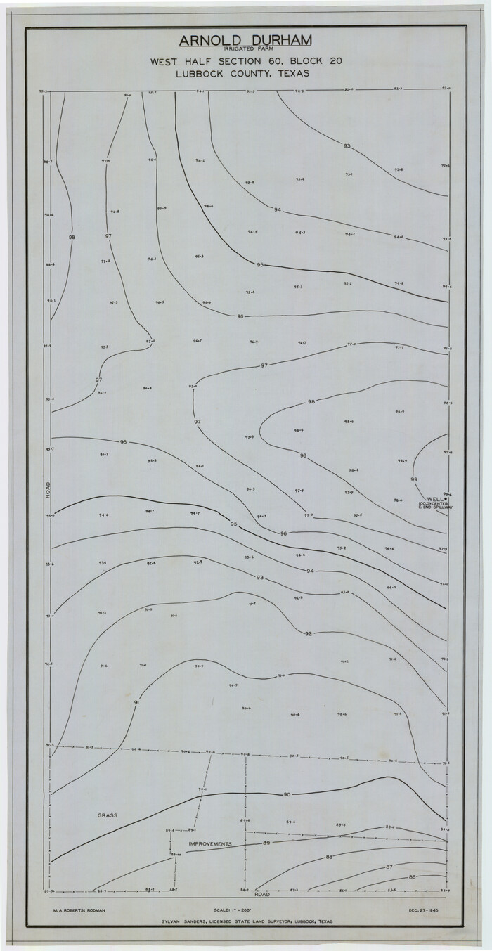
Arnold Durham Irrigated Farm West Half Section 60, Block 20

Print $20.00
- Digital $50.00
Arnold Durham Irrigated Farm West Half Section 60, Block 20
1945
Size 16.5 x 31.4 inches
Map/Doc 92316
Map showing connection and conflict of Block 8, G. H. & S. A. Ry. with Block II, T. & P. Ry. Co.


Print $20.00
- Digital $50.00
Map showing connection and conflict of Block 8, G. H. & S. A. Ry. with Block II, T. & P. Ry. Co.
Size 25.5 x 33.2 inches
Map/Doc 91821
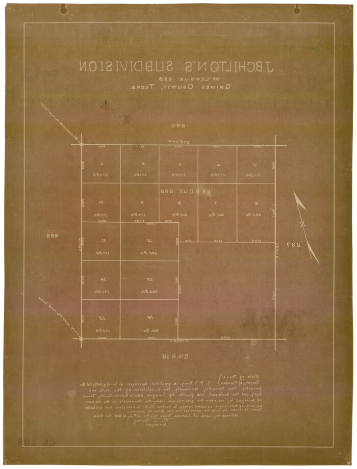
J. B. Chilton's Subdivision of League 289, Gaines County, Texas

Print $20.00
- Digital $50.00
J. B. Chilton's Subdivision of League 289, Gaines County, Texas
1924
Size 18.7 x 24.7 inches
Map/Doc 92682
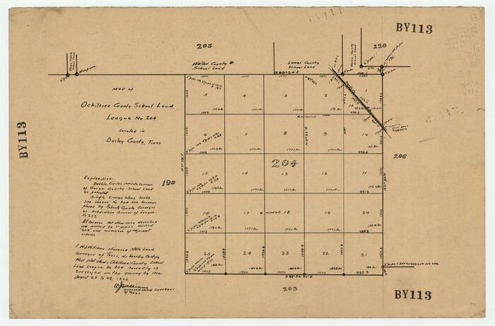
Ochiltree County School Land League Number 204

Print $20.00
- Digital $50.00
Ochiltree County School Land League Number 204
1926
Size 20.8 x 13.7 inches
Map/Doc 92473
You may also like
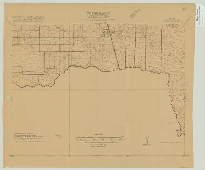
Harris County Historic Topographic 35

Print $20.00
- Digital $50.00
Harris County Historic Topographic 35
1915
Size 19.6 x 23.6 inches
Map/Doc 65846
[Chas. L. Durocher and Surrounding Surveys]
![90815, [Chas. L. Durocher and Surrounding Surveys], Twichell Survey Records](https://historictexasmaps.com/wmedia_w700/maps/90815-2.tif.jpg)
![90815, [Chas. L. Durocher and Surrounding Surveys], Twichell Survey Records](https://historictexasmaps.com/wmedia_w700/maps/90815-2.tif.jpg)
Print $20.00
- Digital $50.00
[Chas. L. Durocher and Surrounding Surveys]
1919
Size 19.7 x 27.4 inches
Map/Doc 90815
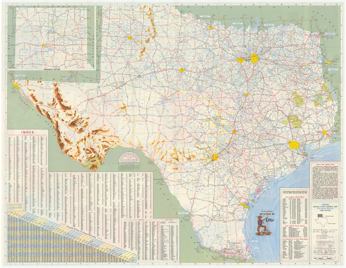
1968 Texas Official State Highway Map

Digital $50.00
1968 Texas Official State Highway Map
Size 28.2 x 36.3 inches
Map/Doc 94320
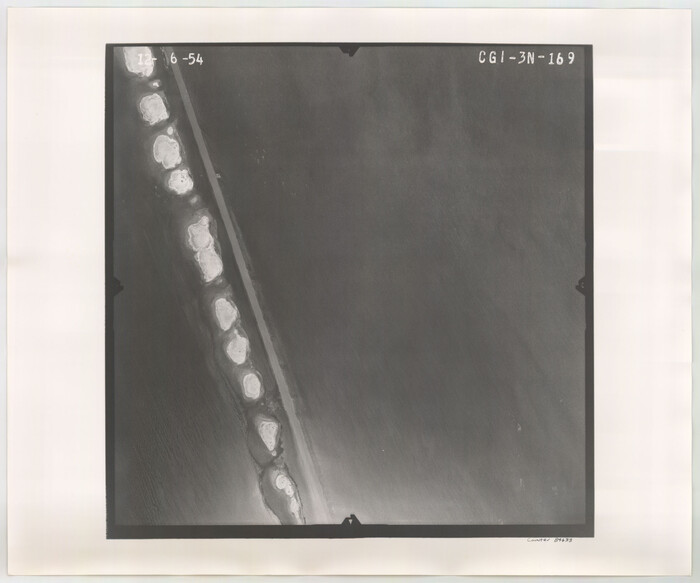
Flight Mission No. CGI-3N, Frame 169, Cameron County

Print $20.00
- Digital $50.00
Flight Mission No. CGI-3N, Frame 169, Cameron County
1954
Size 18.6 x 22.3 inches
Map/Doc 84633
Bastrop County Sketch File 12
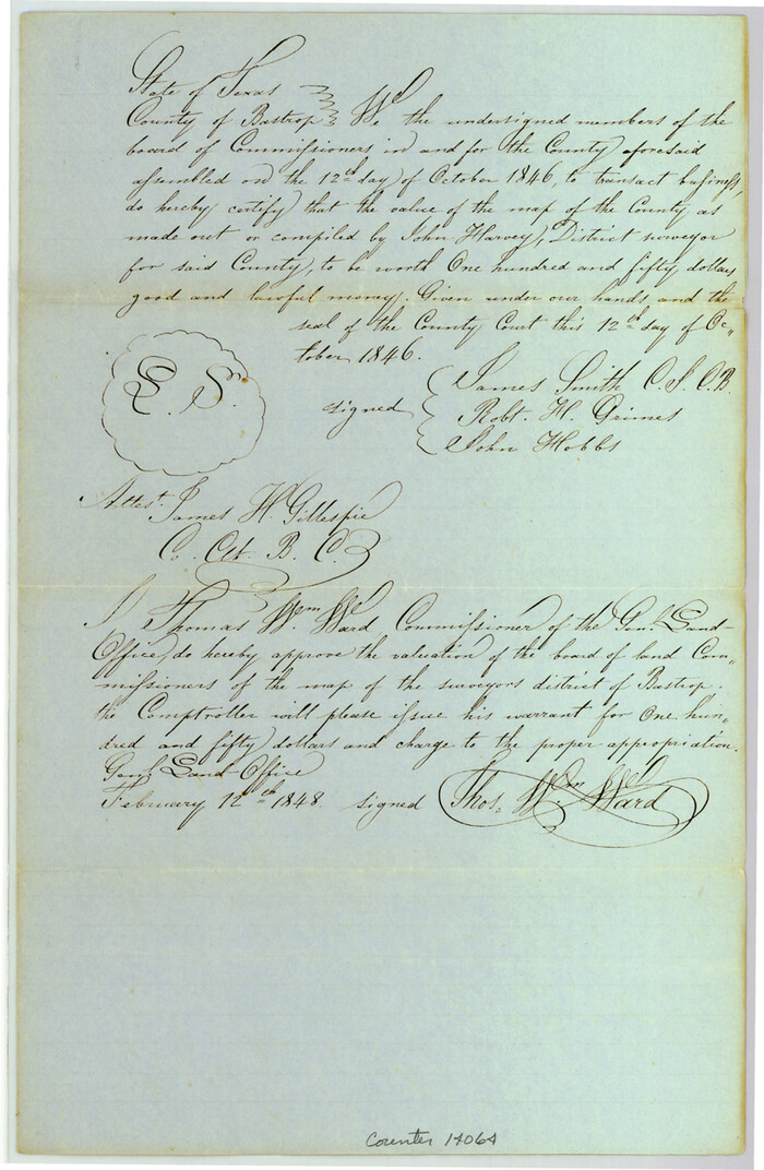

Print $12.00
- Digital $50.00
Bastrop County Sketch File 12
1846
Size 12.8 x 8.4 inches
Map/Doc 14064
Rusk County Sketch File 18
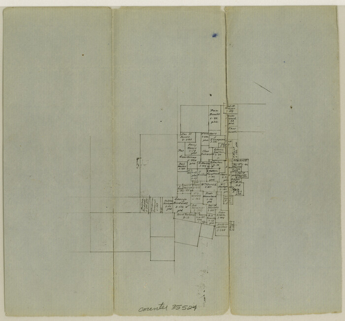

Print $4.00
Rusk County Sketch File 18
Size 8.3 x 8.9 inches
Map/Doc 35524
Lee County Working Sketch 4
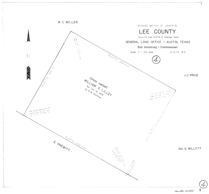

Print $20.00
- Digital $50.00
Lee County Working Sketch 4
1973
Size 17.1 x 18.4 inches
Map/Doc 70383
Ward County Rolled Sketch 18


Print $20.00
- Digital $50.00
Ward County Rolled Sketch 18
1949
Size 31.6 x 34.0 inches
Map/Doc 10109
Howard County Rolled Sketch 12A


Print $20.00
- Digital $50.00
Howard County Rolled Sketch 12A
1948
Size 23.3 x 13.9 inches
Map/Doc 6244
Hunt County Rolled Sketch 3
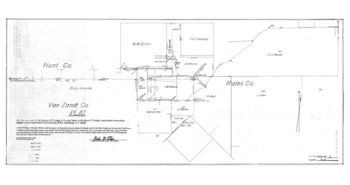

Print $20.00
- Digital $50.00
Hunt County Rolled Sketch 3
Size 19.1 x 36.0 inches
Map/Doc 6267
Montague County Working Sketch 16
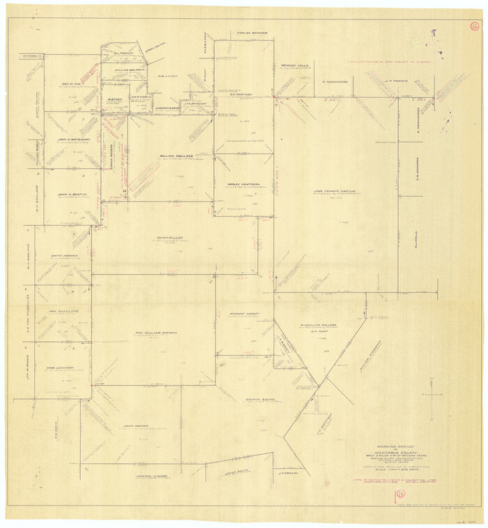

Print $20.00
- Digital $50.00
Montague County Working Sketch 16
1946
Size 44.1 x 40.8 inches
Map/Doc 71082
Flight Mission No. CUG-3P, Frame 92, Kleberg County
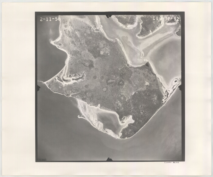

Print $20.00
- Digital $50.00
Flight Mission No. CUG-3P, Frame 92, Kleberg County
1956
Size 18.4 x 22.2 inches
Map/Doc 86262
![92566, [Coordinates for Block H, Sections 1 and 2 and Block C41, Section 4], Twichell Survey Records](https://historictexasmaps.com/wmedia_w1800h1800/maps/92566-1.tif.jpg)