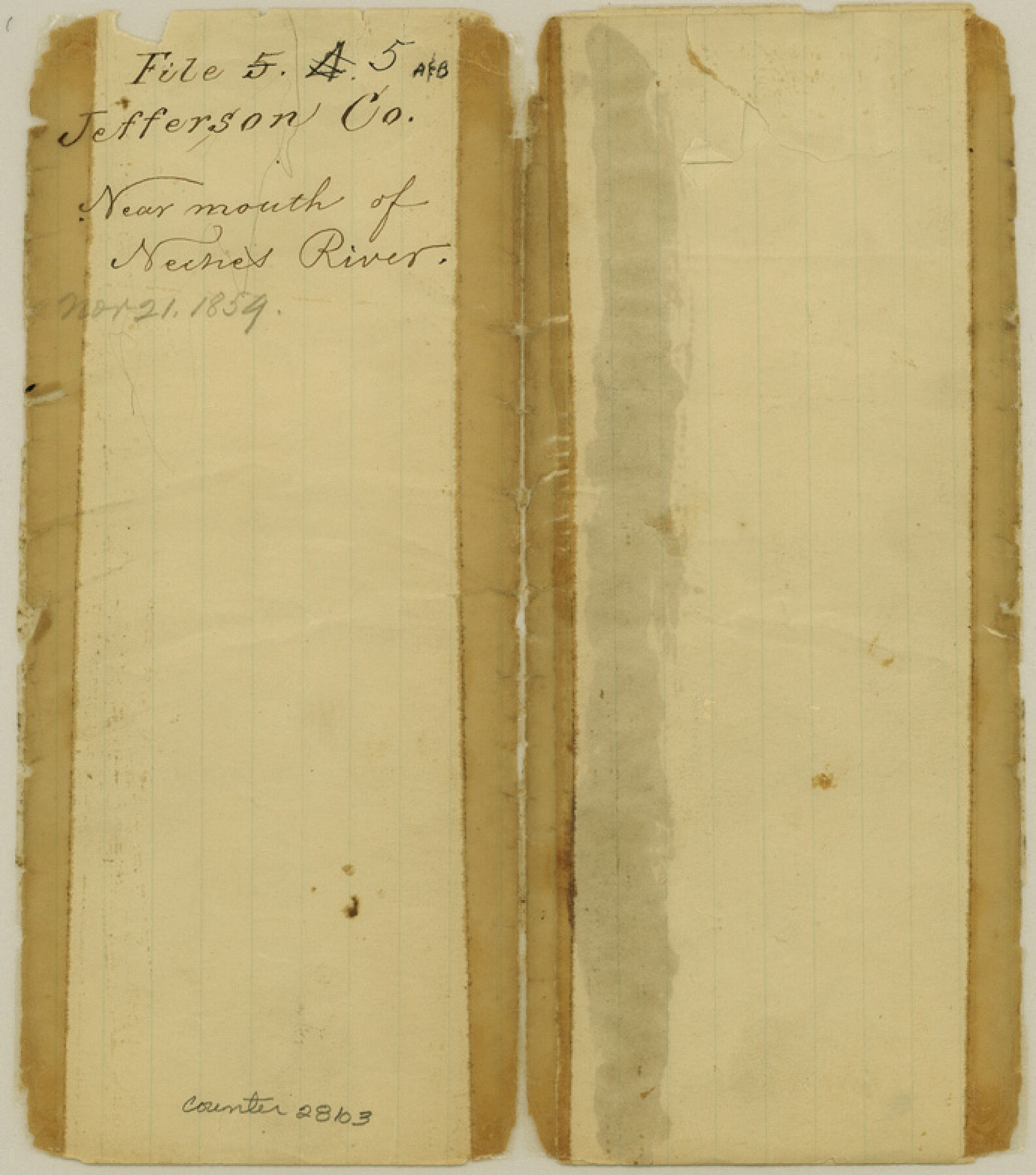
Jefferson County Sketch File 5
[Two sketches near mouth of Neches River and area surrounding county seat]
-
Map/Doc
28103
-
Collection
General Map Collection
-
Object Dates
11/21/1859 (Creation Date)
11/21/1859 (File Date)
-
People and Organizations
James Ingalls (Surveyor/Engineer)
-
Counties
Jefferson
-
Subjects
Surveying Sketch File
-
Height x Width
7.9 x 6.9 inches
20.1 x 17.5 cm
-
Medium
paper, manuscript
-
Features
Sabine Pass
Neches River
Neches Marsh
Double Pl. Bayou
P.S. Bayou
Turkey Island
Bayou Din
Part of: General Map Collection
Williamson County Sketch File 8a

Print $4.00
- Digital $50.00
Williamson County Sketch File 8a
1849
Size 10.4 x 8.3 inches
Map/Doc 40320
Val Verde County Rolled Sketch 30

Print $20.00
- Digital $50.00
Val Verde County Rolled Sketch 30
1884
Size 43.8 x 26.4 inches
Map/Doc 8111
Intracoastal Waterway in Texas - Corpus Christi to Point Isabel including Arroyo Colorado to Mo. Pac. R.R. Bridge Near Harlingen

Print $20.00
- Digital $50.00
Intracoastal Waterway in Texas - Corpus Christi to Point Isabel including Arroyo Colorado to Mo. Pac. R.R. Bridge Near Harlingen
1934
Size 22.1 x 32.7 inches
Map/Doc 61887
Galveston County Rolled Sketch 21

Print $41.00
- Digital $50.00
Galveston County Rolled Sketch 21
Size 10.5 x 15.1 inches
Map/Doc 45061
Flight Mission No. BRA-6M, Frame 77, Jefferson County

Print $20.00
- Digital $50.00
Flight Mission No. BRA-6M, Frame 77, Jefferson County
1953
Size 18.6 x 22.6 inches
Map/Doc 85421
Brazoria County Rolled Sketch 50A

Print $20.00
- Digital $50.00
Brazoria County Rolled Sketch 50A
1932
Size 17.8 x 26.1 inches
Map/Doc 5188
McLennan County Sketch File 1

Print $4.00
- Digital $50.00
McLennan County Sketch File 1
Size 11.5 x 8.4 inches
Map/Doc 31224
Polk County Sketch File 29 1/2

Print $4.00
- Digital $50.00
Polk County Sketch File 29 1/2
Size 8.7 x 12.5 inches
Map/Doc 34204
Map of Tom Green County

Print $20.00
- Digital $50.00
Map of Tom Green County
1892
Size 44.1 x 47.5 inches
Map/Doc 78389
Hardin County Sketch File 7

Print $6.00
- Digital $50.00
Hardin County Sketch File 7
Size 7.2 x 5.9 inches
Map/Doc 25099
Port of Corpus Christi Inner Harbor Industrial District, Nueces County Navigation District Number One

Print $40.00
- Digital $50.00
Port of Corpus Christi Inner Harbor Industrial District, Nueces County Navigation District Number One
1972
Size 43.6 x 101.3 inches
Map/Doc 78635
San Augustine County Working Sketch 10

Print $20.00
- Digital $50.00
San Augustine County Working Sketch 10
1935
Size 35.0 x 32.2 inches
Map/Doc 63697
You may also like
Upshur County Working Sketch 16

Print $20.00
- Digital $50.00
Upshur County Working Sketch 16
1997
Size 43.7 x 36.0 inches
Map/Doc 78229
Geological Survey of Texas, First Annual Report, Plate II, Figures 6, 7, 8, 9

Print $20.00
- Digital $50.00
Geological Survey of Texas, First Annual Report, Plate II, Figures 6, 7, 8, 9
Size 17.1 x 18.1 inches
Map/Doc 75114
Coryell County Sketch File 17 1/2

Print $20.00
- Digital $50.00
Coryell County Sketch File 17 1/2
Size 16.0 x 23.6 inches
Map/Doc 11182
Wilson County

Print $40.00
- Digital $50.00
Wilson County
1921
Size 39.6 x 48.5 inches
Map/Doc 73327
Flight Mission No. CLL-1N, Frame 103, Willacy County

Print $20.00
- Digital $50.00
Flight Mission No. CLL-1N, Frame 103, Willacy County
1954
Size 18.4 x 22.1 inches
Map/Doc 87037
Galveston County Rolled Sketch 44

Print $20.00
- Digital $50.00
Galveston County Rolled Sketch 44
1992
Size 25.1 x 37.1 inches
Map/Doc 5978
Middle Sulphur and South Sulphur Rivers, Horton Sheet

Print $20.00
- Digital $50.00
Middle Sulphur and South Sulphur Rivers, Horton Sheet
1925
Size 25.6 x 22.0 inches
Map/Doc 78330
McLaughlin Farm, Crosby County, Texas

Print $20.00
- Digital $50.00
McLaughlin Farm, Crosby County, Texas
1952
Size 14.3 x 14.1 inches
Map/Doc 92615
Kleberg County Rolled Sketch 13

Print $20.00
- Digital $50.00
Kleberg County Rolled Sketch 13
1995
Size 39.3 x 33.8 inches
Map/Doc 6554
Chicago, Rock Island, Texas & Mexico

Print $40.00
- Digital $50.00
Chicago, Rock Island, Texas & Mexico
1920
Size 25.9 x 120.3 inches
Map/Doc 64422
Sutton County Working Sketch Graphic Index, Sheet 2 (Sketches 25 to Most Recent)

Print $40.00
- Digital $50.00
Sutton County Working Sketch Graphic Index, Sheet 2 (Sketches 25 to Most Recent)
1941
Size 41.2 x 55.2 inches
Map/Doc 76706
El Paso County Working Sketch 58

Print $20.00
- Digital $50.00
El Paso County Working Sketch 58
Size 25.8 x 30.6 inches
Map/Doc 69080