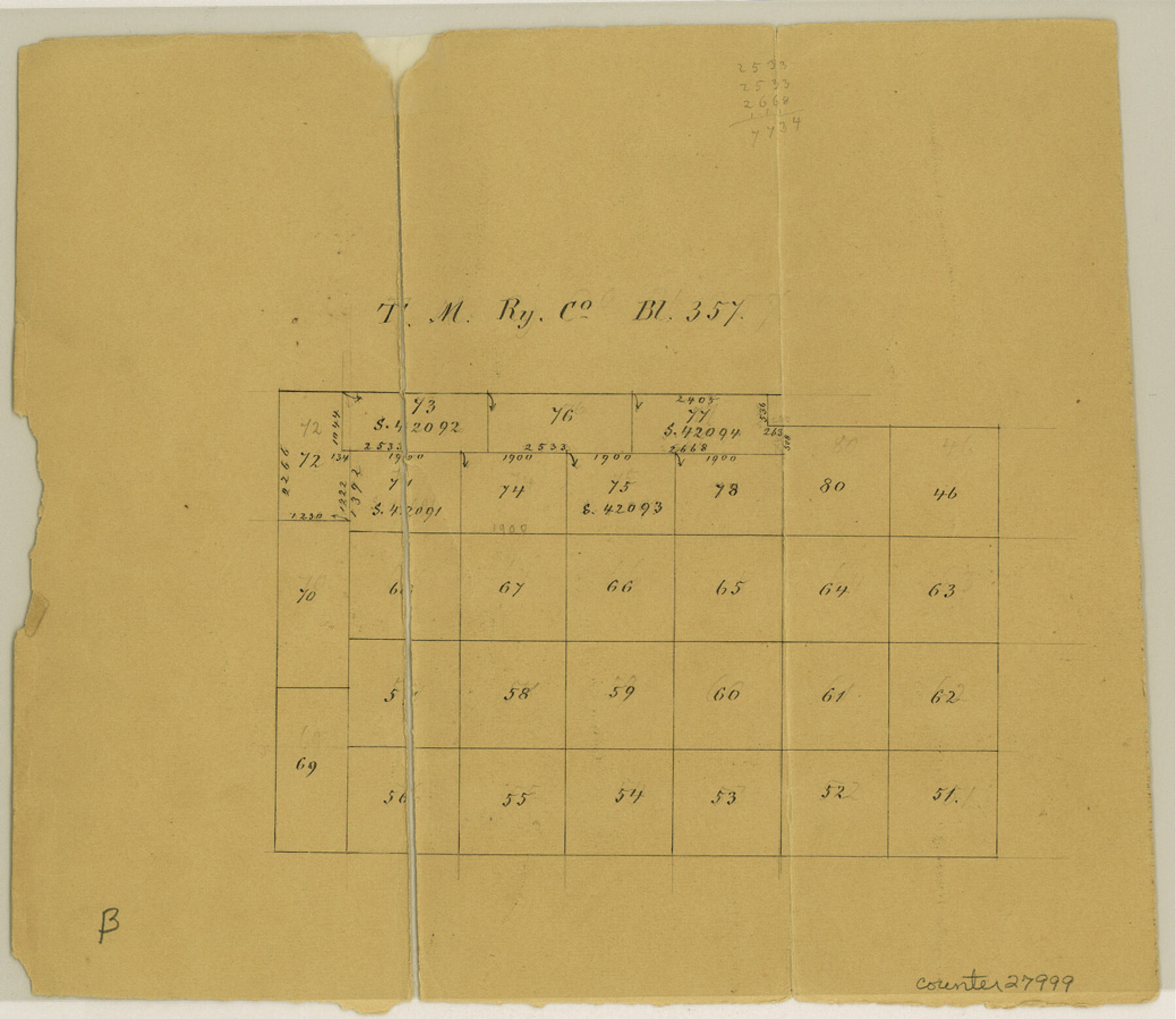
Jeff Davis County Sketch File 26 1/2
[Sketch of T. M. RR. Co. Block 357]
-
Map/Doc
27999
-
Collection
General Map Collection
-
Object Dates
3/16/1891 (File Date)
-
People and Organizations
Paul Hess ()
-
Counties
Jeff Davis
-
Subjects
Surveying Sketch File
-
Height x Width
9.0 x 10.4 inches
22.9 x 26.4 cm
-
Medium
paper, manuscript
-
Scale
1:2000
Part of: General Map Collection
Cameron County Rolled Sketch 32

Print $40.00
- Digital $50.00
Cameron County Rolled Sketch 32
1981
Size 136.6 x 18.1 inches
Map/Doc 8579
Webb County Sketch File 7

Print $40.00
- Digital $50.00
Webb County Sketch File 7
1877
Size 13.7 x 14.3 inches
Map/Doc 39739
Menard County Boundary File 1

Print $14.00
- Digital $50.00
Menard County Boundary File 1
Size 12.7 x 8.1 inches
Map/Doc 57035
Kimble County Sketch File 29 and 30

Print $28.00
- Digital $50.00
Kimble County Sketch File 29 and 30
1936
Size 15.4 x 24.6 inches
Map/Doc 11928
Briscoe County Rolled Sketch 19

Print $20.00
- Digital $50.00
Briscoe County Rolled Sketch 19
1947
Size 28.5 x 24.3 inches
Map/Doc 5333
Starr County Working Sketch 15

Print $20.00
- Digital $50.00
Starr County Working Sketch 15
1971
Size 34.4 x 37.6 inches
Map/Doc 63931
Flight Mission No. BRA-17M, Frame 12, Jefferson County

Print $20.00
- Digital $50.00
Flight Mission No. BRA-17M, Frame 12, Jefferson County
1953
Size 18.5 x 22.3 inches
Map/Doc 85793
Harrison County Working Sketch 2

Print $20.00
- Digital $50.00
Harrison County Working Sketch 2
1940
Size 40.3 x 36.0 inches
Map/Doc 66022
Culberson County Working Sketch 40

Print $40.00
- Digital $50.00
Culberson County Working Sketch 40
1966
Size 35.5 x 60.9 inches
Map/Doc 68493
Dallam County Working Sketch 1

Print $20.00
- Digital $50.00
Dallam County Working Sketch 1
1905
Size 15.9 x 13.6 inches
Map/Doc 68586
Colorado County Sketch File 27

Print $20.00
- Digital $50.00
Colorado County Sketch File 27
1911
Size 25.3 x 19.4 inches
Map/Doc 11138
Real County Working Sketch 3

Print $20.00
- Digital $50.00
Real County Working Sketch 3
Size 35.0 x 24.9 inches
Map/Doc 71895
You may also like
Cherokee County Sketch File 34

Print $12.00
- Digital $50.00
Cherokee County Sketch File 34
1954
Size 11.2 x 8.9 inches
Map/Doc 18198
Harris County NRC Article 33.136 Sketch 17

Print $26.00
- Digital $50.00
Harris County NRC Article 33.136 Sketch 17
2011
Size 22.0 x 17.0 inches
Map/Doc 94758
Orange County Working Sketch 50

Print $20.00
- Digital $50.00
Orange County Working Sketch 50
1991
Size 36.0 x 43.6 inches
Map/Doc 71382
Chart of the Antarctic Continent shewing the icy barrier attached to it discovered by the U.S. Ex. Ex.

Print $20.00
- Digital $50.00
Chart of the Antarctic Continent shewing the icy barrier attached to it discovered by the U.S. Ex. Ex.
1840
Size 26.5 x 37.2 inches
Map/Doc 94058
Right of Way and Track Map - Houston & Texas Central R.R. operated by the T. and N. O. R.R. Co. - Fort Worth Branch

Print $40.00
- Digital $50.00
Right of Way and Track Map - Houston & Texas Central R.R. operated by the T. and N. O. R.R. Co. - Fort Worth Branch
1918
Size 26.5 x 58.3 inches
Map/Doc 82861
Val Verde County Working Sketch 117

Print $20.00
- Digital $50.00
Val Verde County Working Sketch 117
1993
Size 30.9 x 37.0 inches
Map/Doc 82844
Hardin County Working Sketch 25

Print $20.00
- Digital $50.00
Hardin County Working Sketch 25
1950
Size 10.8 x 20.1 inches
Map/Doc 63423
Flight Mission No. DQN-5K, Frame 77, Calhoun County

Print $20.00
- Digital $50.00
Flight Mission No. DQN-5K, Frame 77, Calhoun County
1953
Size 18.5 x 22.1 inches
Map/Doc 84410
Upton County Sketch File 9

Print $30.00
- Digital $50.00
Upton County Sketch File 9
1913
Size 9.3 x 5.9 inches
Map/Doc 38824
Crockett County Working Sketch 72

Print $20.00
- Digital $50.00
Crockett County Working Sketch 72
1963
Size 43.9 x 38.5 inches
Map/Doc 68405
Flight Mission No. DCL-5C, Frame 66, Kenedy County

Print $20.00
- Digital $50.00
Flight Mission No. DCL-5C, Frame 66, Kenedy County
1943
Size 18.4 x 22.3 inches
Map/Doc 85849
Limestone County Working Sketch 3

Print $20.00
- Digital $50.00
Limestone County Working Sketch 3
1919
Size 28.9 x 28.5 inches
Map/Doc 70553