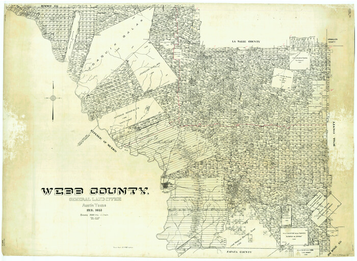
[Surveys along Meridian Creek]
Atlas G, Page 3, Sketch 16 (G-3-16)
G-3-16
-
Map/Doc
242
-
Collection
General Map Collection
-
Object Dates
1846 (Creation Date)
-
People and Organizations
George Green (Surveyor/Engineer)
-
Counties
Bosque
-
Subjects
Atlas
-
Height x Width
6.4 x 7.7 inches
16.3 x 19.6 cm
-
Medium
paper, manuscript
-
Comments
Conserved in 2003.
-
Features
Meridian Creek
Part of: General Map Collection
Hudspeth County Sketch File 30

Print $8.00
- Digital $50.00
Hudspeth County Sketch File 30
1950
Size 11.3 x 8.8 inches
Map/Doc 26986
Hall County Sketch File 4

Print $6.00
- Digital $50.00
Hall County Sketch File 4
Size 14.2 x 9.3 inches
Map/Doc 24800
Val Verde County Working Sketch 25


Print $20.00
- Digital $50.00
Val Verde County Working Sketch 25
1934
Size 24.2 x 18.2 inches
Map/Doc 72160
Bexar County Rolled Sketch 4B


Print $20.00
- Digital $50.00
Bexar County Rolled Sketch 4B
1989
Size 24.3 x 36.7 inches
Map/Doc 5139
Irion County Rolled Sketch 14

Print $20.00
- Digital $50.00
Irion County Rolled Sketch 14
1946
Size 25.3 x 21.9 inches
Map/Doc 6324
Baylor County Sketch File 12f
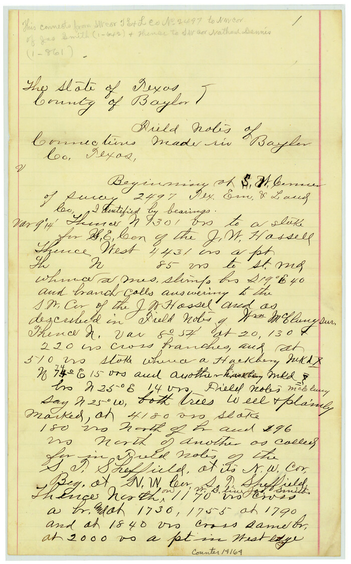

Print $12.00
- Digital $50.00
Baylor County Sketch File 12f
1900
Size 14.4 x 9.0 inches
Map/Doc 14164
Concho County Working Sketch 3


Print $20.00
- Digital $50.00
Concho County Working Sketch 3
1918
Size 24.0 x 22.2 inches
Map/Doc 68185
Flight Mission No. CLL-1N, Frame 34, Willacy County


Print $20.00
- Digital $50.00
Flight Mission No. CLL-1N, Frame 34, Willacy County
1954
Size 18.4 x 22.2 inches
Map/Doc 87015
Topographical Map of the Rio Grande, Sheet No. 7
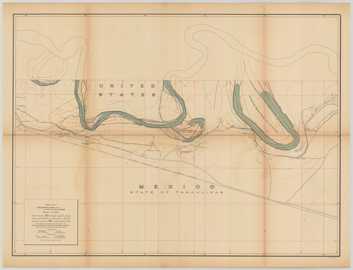

Print $20.00
- Digital $50.00
Topographical Map of the Rio Grande, Sheet No. 7
1912
Map/Doc 89531
Archer County Working Sketch 17


Print $3.00
- Digital $50.00
Archer County Working Sketch 17
1951
Size 10.7 x 12.2 inches
Map/Doc 67158
San Antonio & Surrounding Area
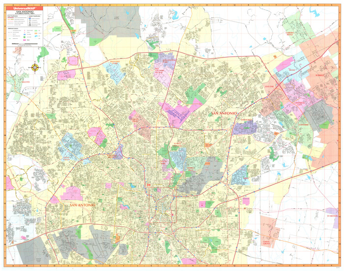

San Antonio & Surrounding Area
1997
Size 36.4 x 46.3 inches
Map/Doc 96867
Gaines County Sketch File 9


Print $20.00
- Digital $50.00
Gaines County Sketch File 9
Size 34.1 x 17.1 inches
Map/Doc 11524
You may also like
Galveston Entrance
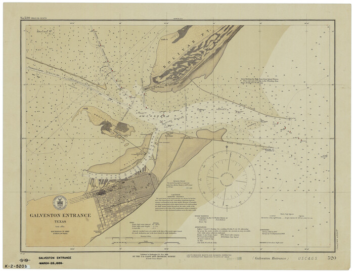

Print $20.00
- Digital $50.00
Galveston Entrance
1925
Size 18.5 x 24.1 inches
Map/Doc 69859
Cooke County Working Sketch Graphic Index


Print $20.00
- Digital $50.00
Cooke County Working Sketch Graphic Index
1935
Size 44.7 x 38.2 inches
Map/Doc 76504
Map of Galveston Bay from Lawrence Cove to Stevenson's Station


Print $20.00
- Digital $50.00
Map of Galveston Bay from Lawrence Cove to Stevenson's Station
1851
Size 41.5 x 30.0 inches
Map/Doc 69922
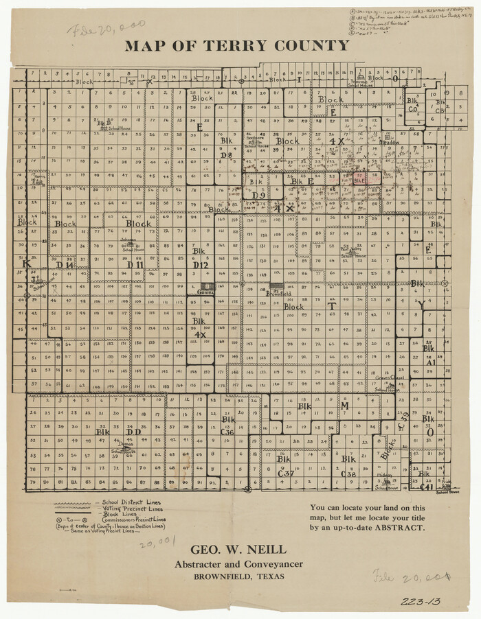
Map of Terry County

Print $20.00
- Digital $50.00
Map of Terry County
1917
Size 17.7 x 22.6 inches
Map/Doc 91874
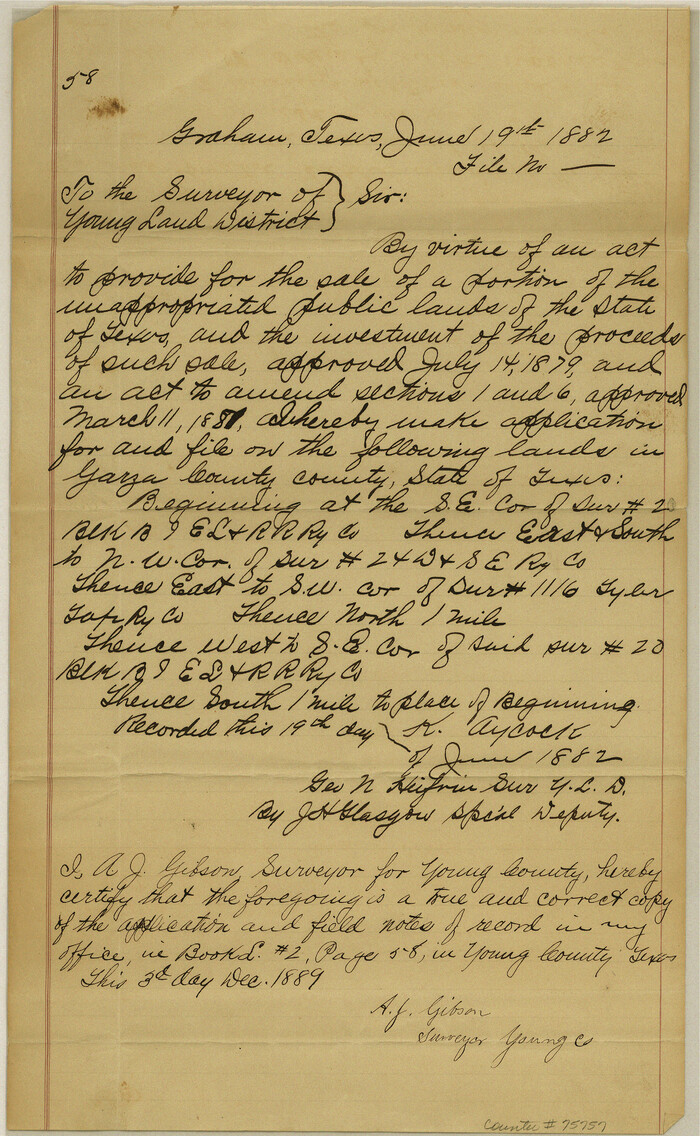
Old Miscellaneous File 35

Print $4.00
- Digital $50.00
Old Miscellaneous File 35
1882
Size 13.9 x 8.6 inches
Map/Doc 75757
[Meanders of a navigable river, perhaps Cow Bayou]
![66, [Meanders of a navigable river, perhaps Cow Bayou], General Map Collection](https://historictexasmaps.com/wmedia_w700/maps/66.tif.jpg)
![66, [Meanders of a navigable river, perhaps Cow Bayou], General Map Collection](https://historictexasmaps.com/wmedia_w700/maps/66.tif.jpg)
Print $20.00
- Digital $50.00
[Meanders of a navigable river, perhaps Cow Bayou]
1842
Size 14.0 x 16.6 inches
Map/Doc 66
Crockett County Sketch File HH

Print $38.00
- Digital $50.00
Crockett County Sketch File HH
Size 13.8 x 8.9 inches
Map/Doc 19641
[Map Showing Estivan Martinez "Los Nerios de Tio Ayola" Survey and Surveys North Thereof, Brooks County, Texas]
![10755, [Map Showing Estivan Martinez "Los Nerios de Tio Ayola" Survey and Surveys North Thereof, Brooks County, Texas], Maddox Collection](https://historictexasmaps.com/wmedia_w700/maps/10755.tif.jpg)
![10755, [Map Showing Estivan Martinez "Los Nerios de Tio Ayola" Survey and Surveys North Thereof, Brooks County, Texas], Maddox Collection](https://historictexasmaps.com/wmedia_w700/maps/10755.tif.jpg)
Print $20.00
- Digital $50.00
[Map Showing Estivan Martinez "Los Nerios de Tio Ayola" Survey and Surveys North Thereof, Brooks County, Texas]
1906
Size 16.7 x 25.1 inches
Map/Doc 10755
[Aransas Bay]
![72971, [Aransas Bay], General Map Collection](https://historictexasmaps.com/wmedia_w700/maps/72971.tif.jpg)
![72971, [Aransas Bay], General Map Collection](https://historictexasmaps.com/wmedia_w700/maps/72971.tif.jpg)
Print $20.00
- Digital $50.00
[Aransas Bay]
1846
Size 18.2 x 24.7 inches
Map/Doc 72971
Red River County Working Sketch 50


Print $20.00
- Digital $50.00
Red River County Working Sketch 50
1970
Size 24.6 x 24.1 inches
Map/Doc 72033
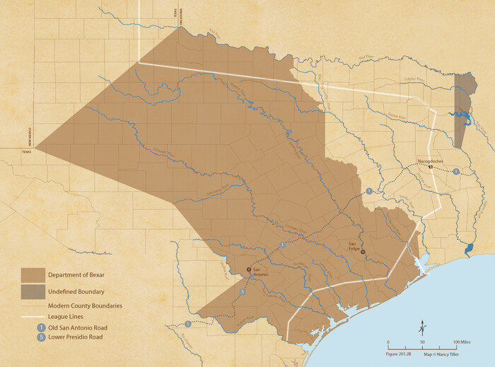
The Mexican Department of Bexar. January 31, 1831

Print $20.00
The Mexican Department of Bexar. January 31, 1831
2020
Size 16.1 x 21.7 inches
Map/Doc 95968
![242, [Surveys along Meridian Creek], General Map Collection](https://historictexasmaps.com/wmedia_w1800h1800/maps/242.tif.jpg)
